 |
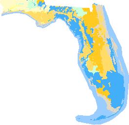
CLICK MAP TO GO TO USGS SITE |
|
| LOCATION |
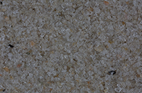
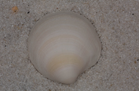
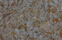
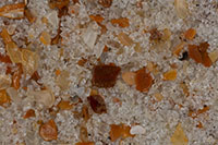
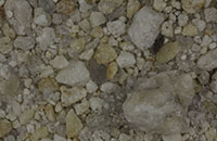
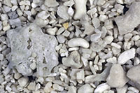
CLICK ON THUMBNAIL FOR HIGH RESOLUTION |
|
| |
|
|
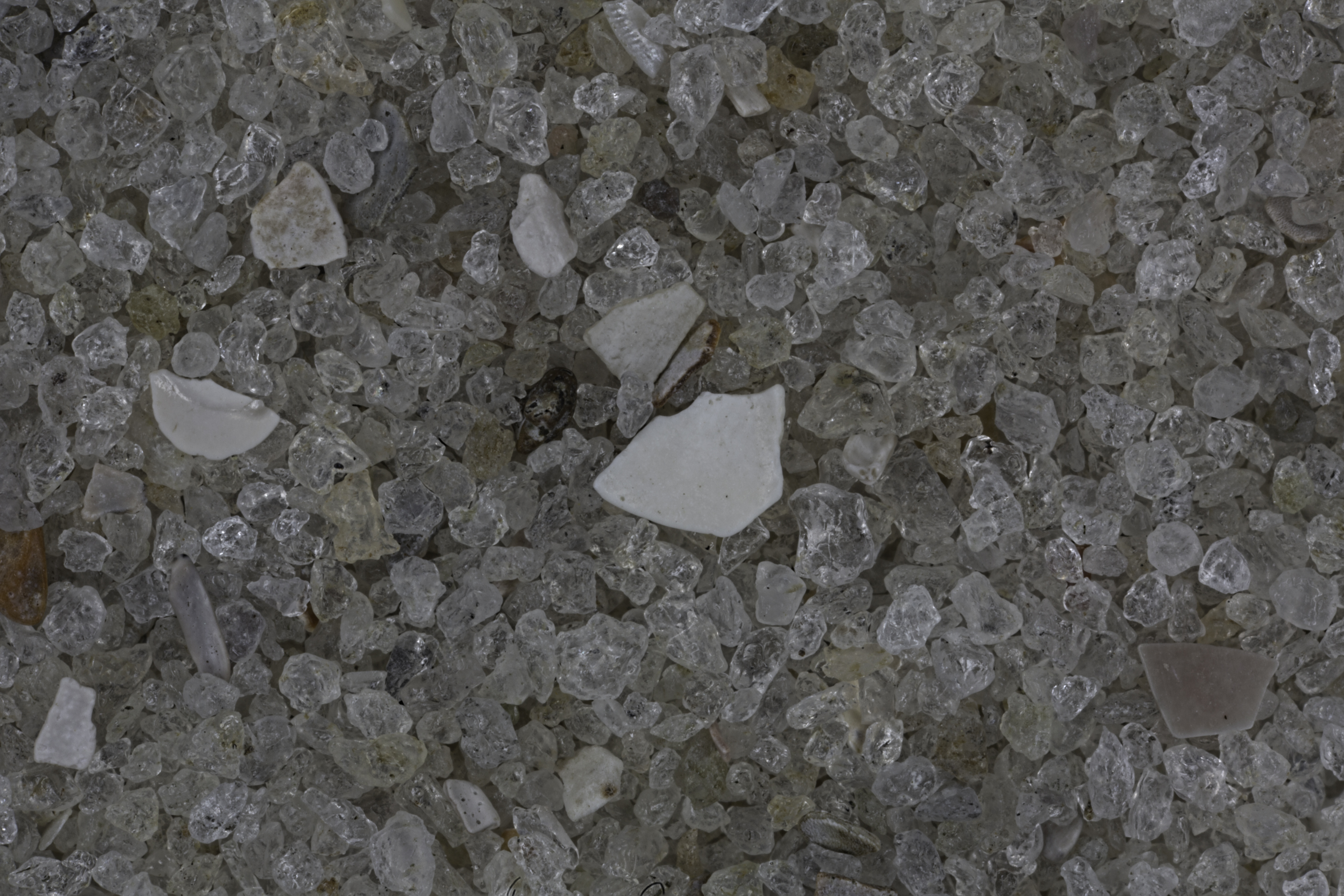
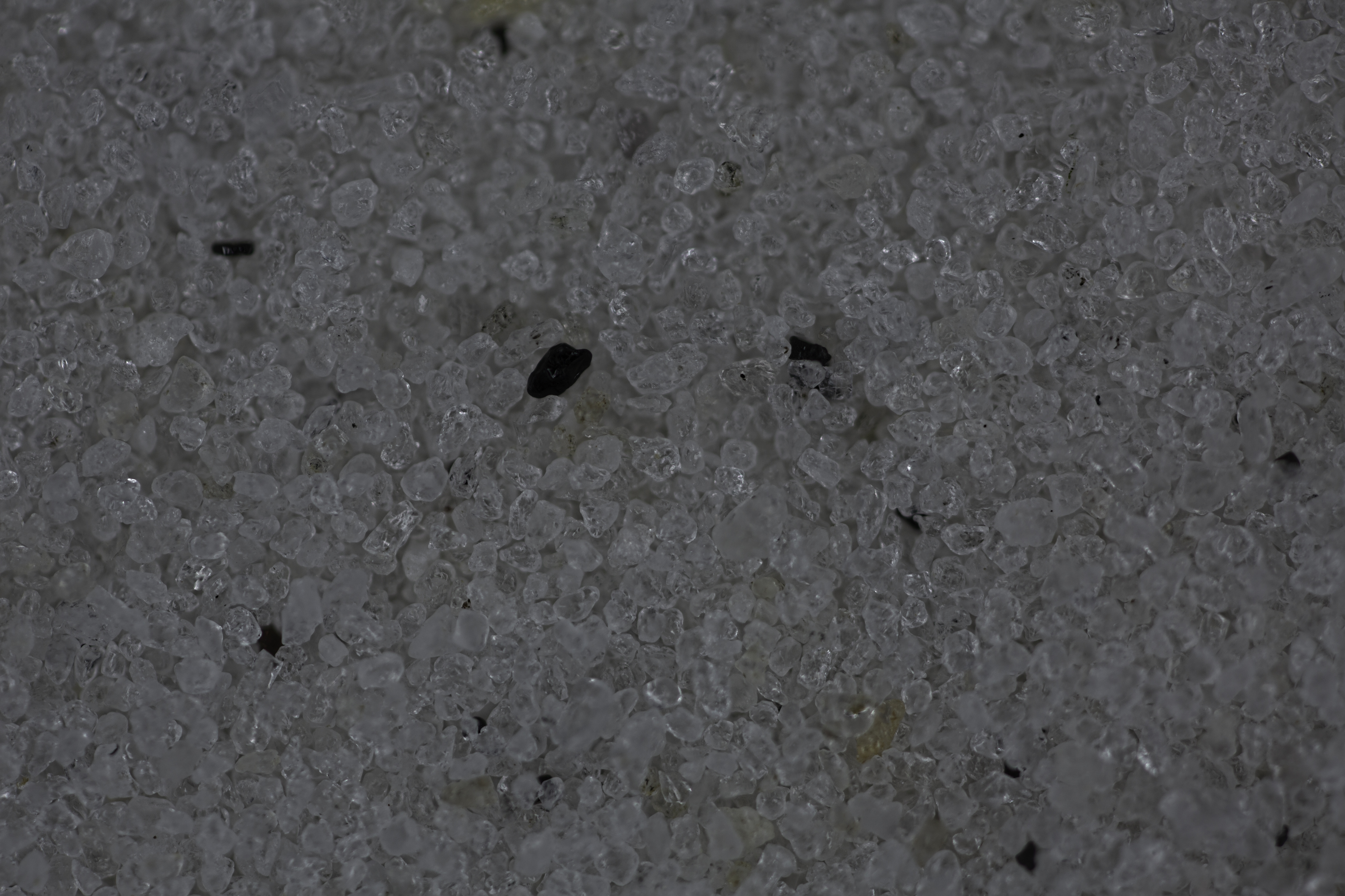
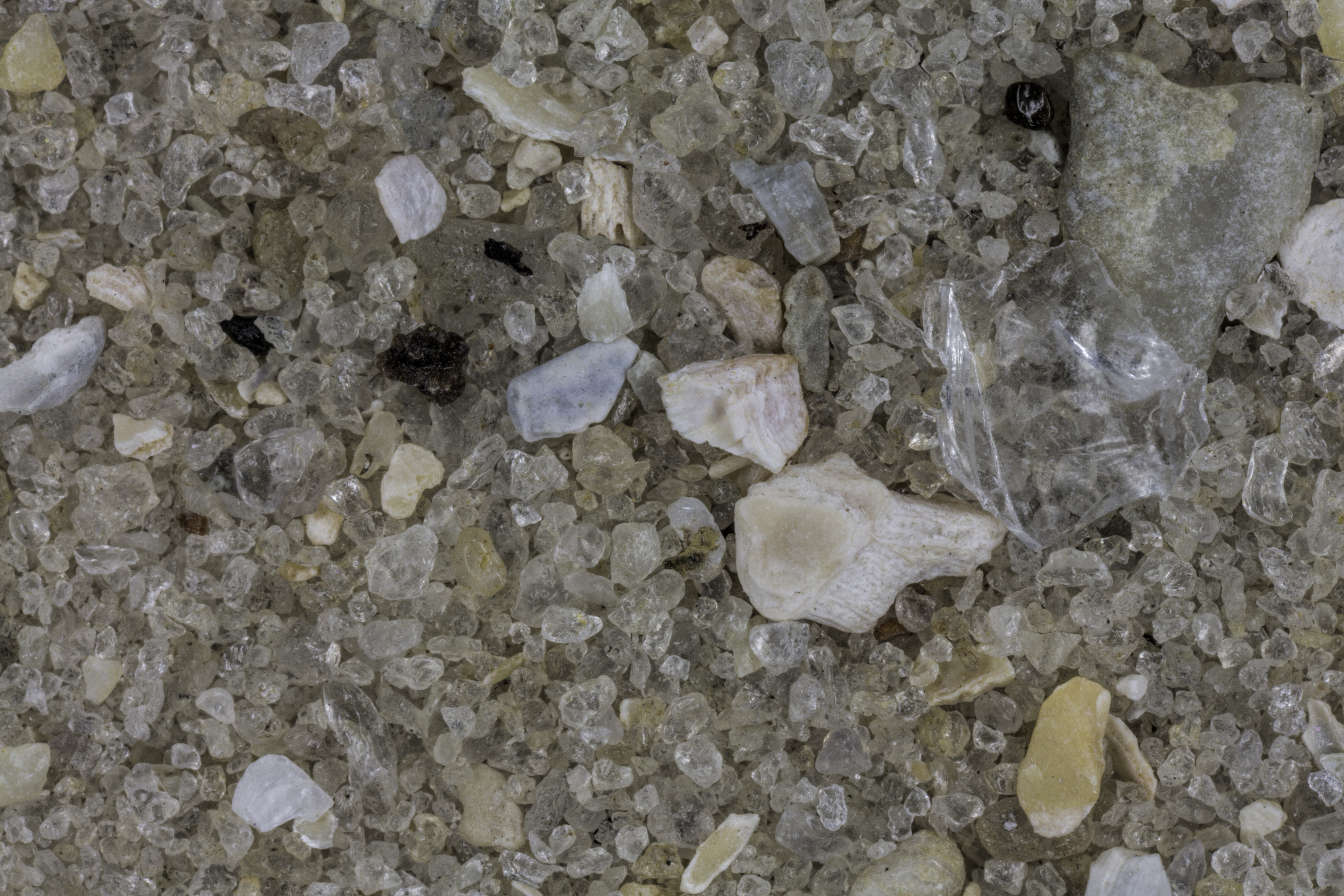
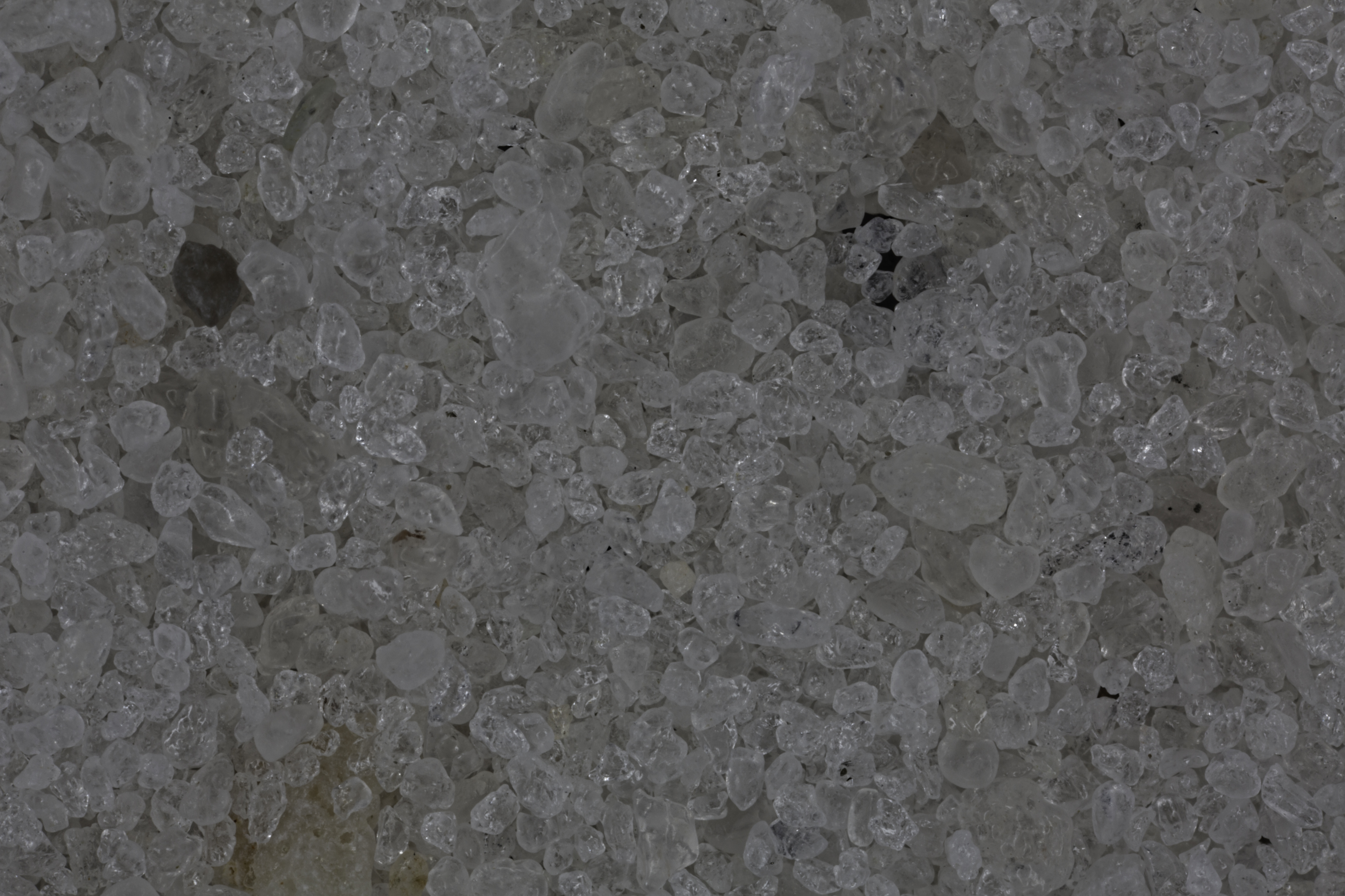
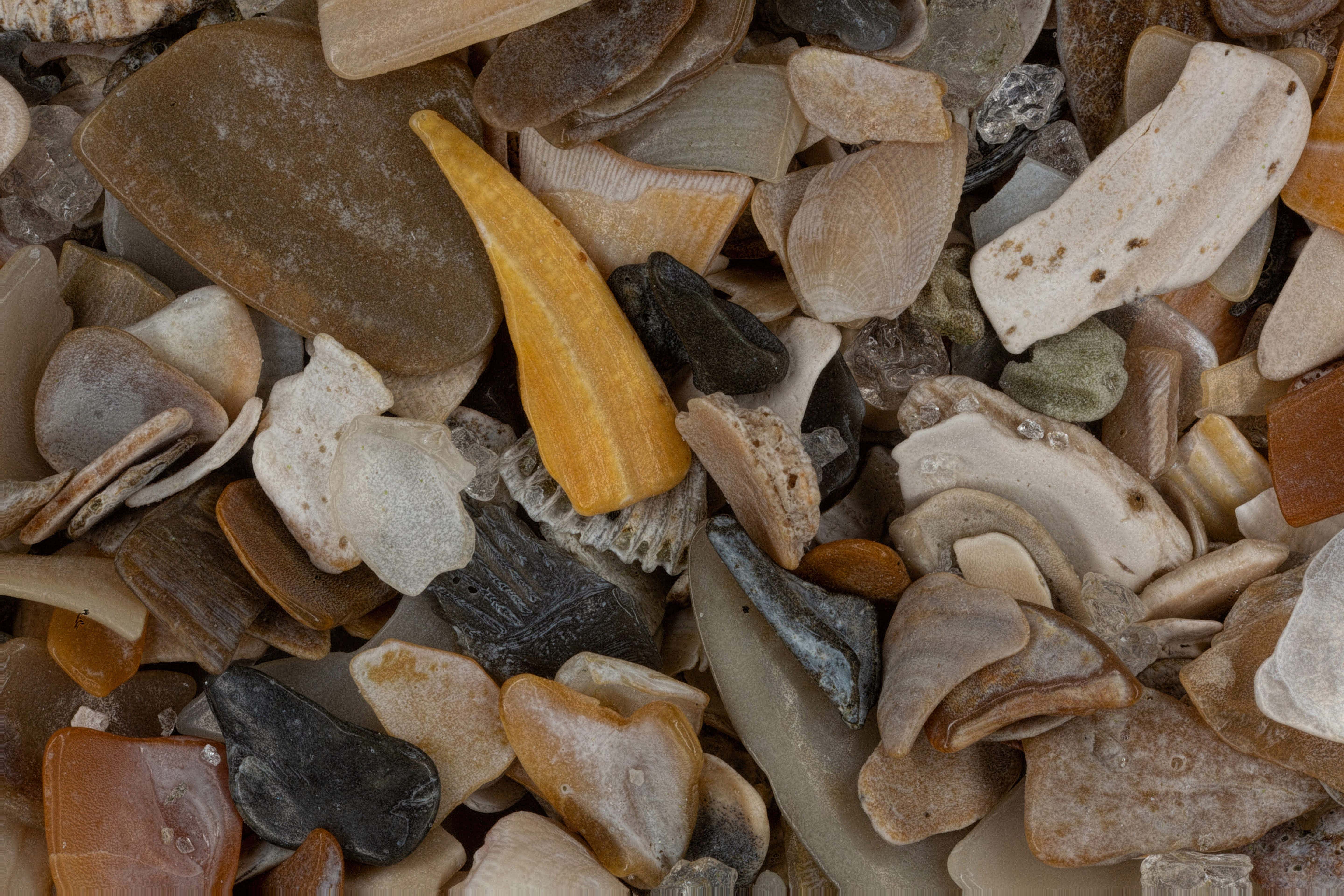
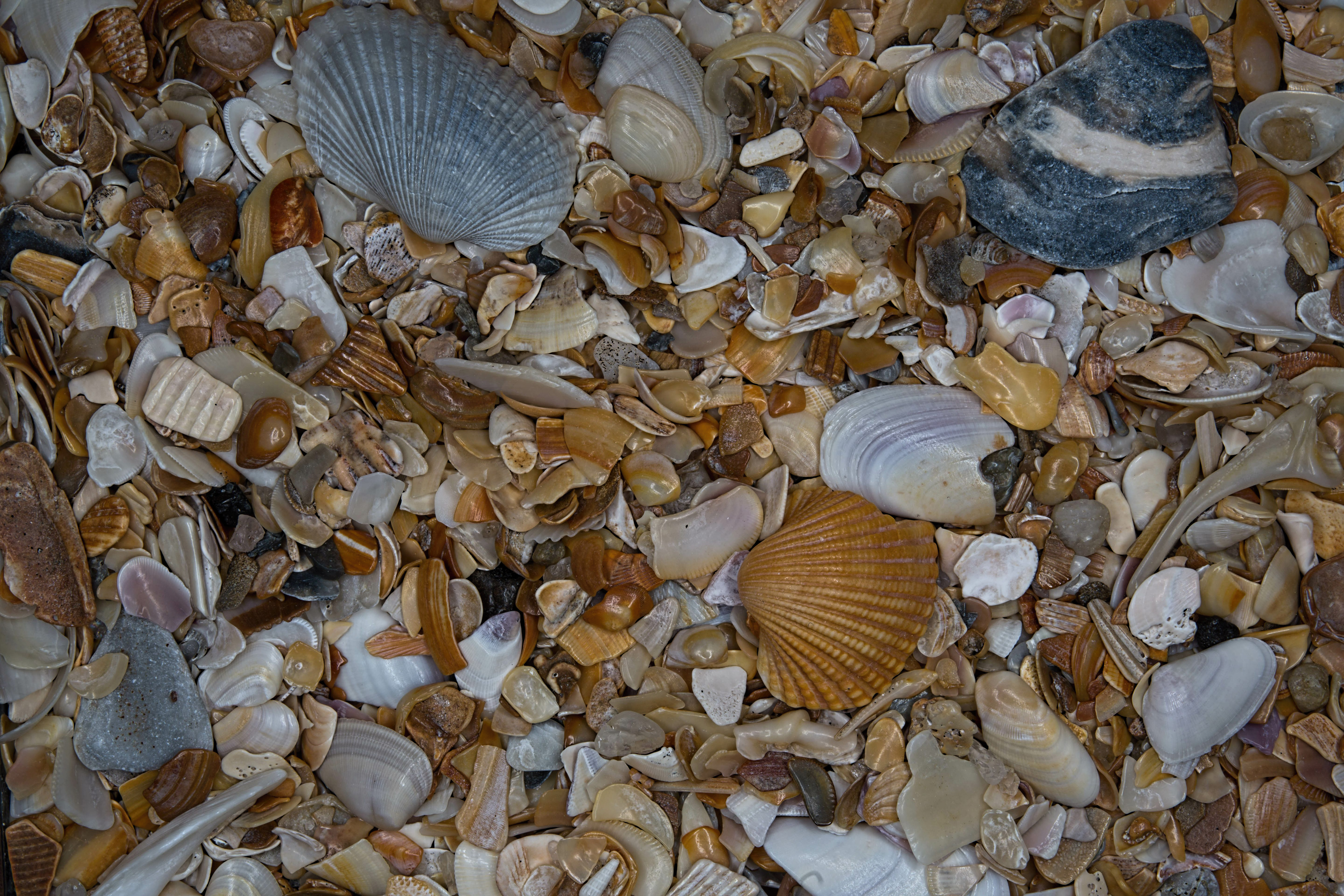
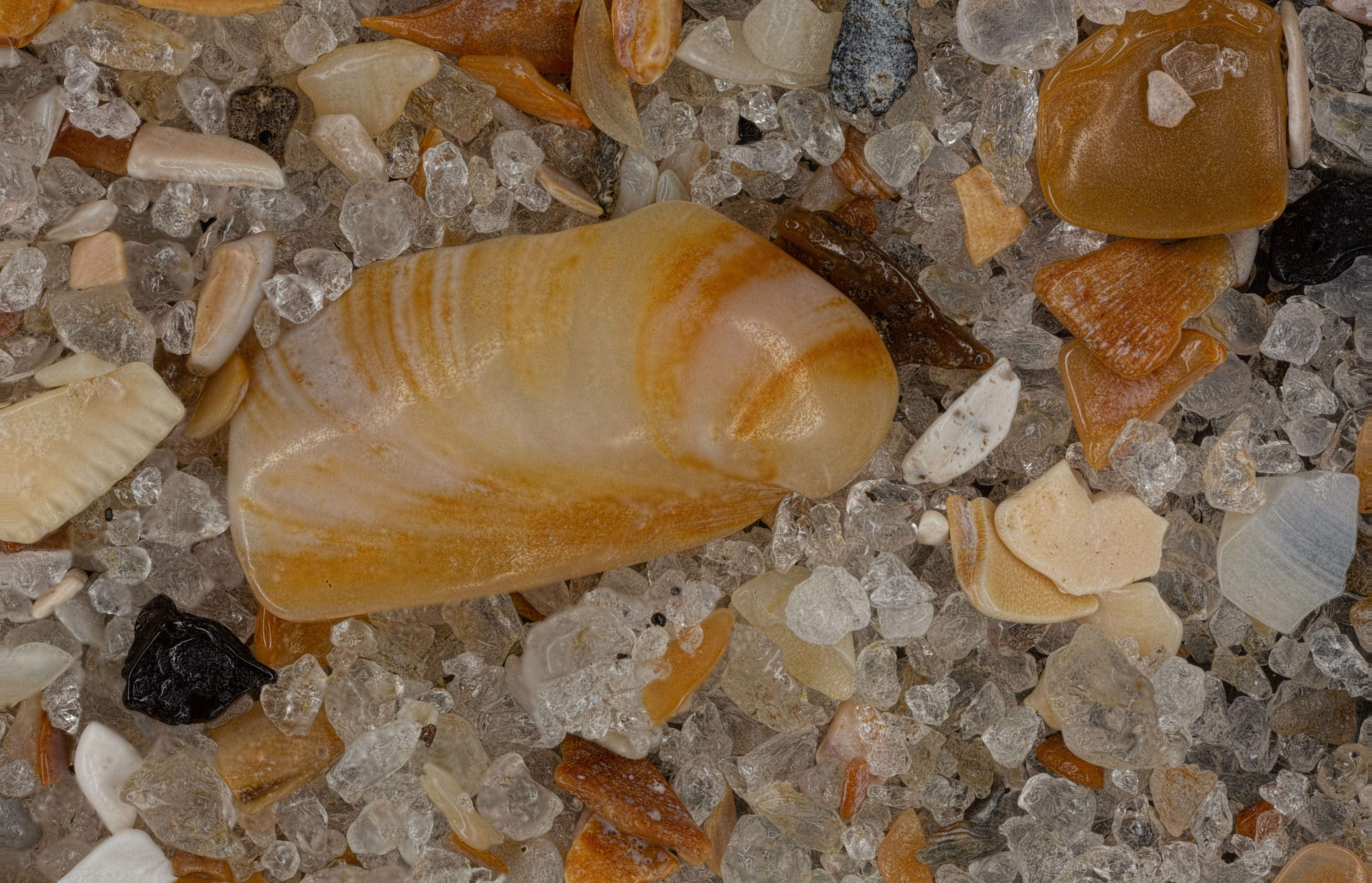
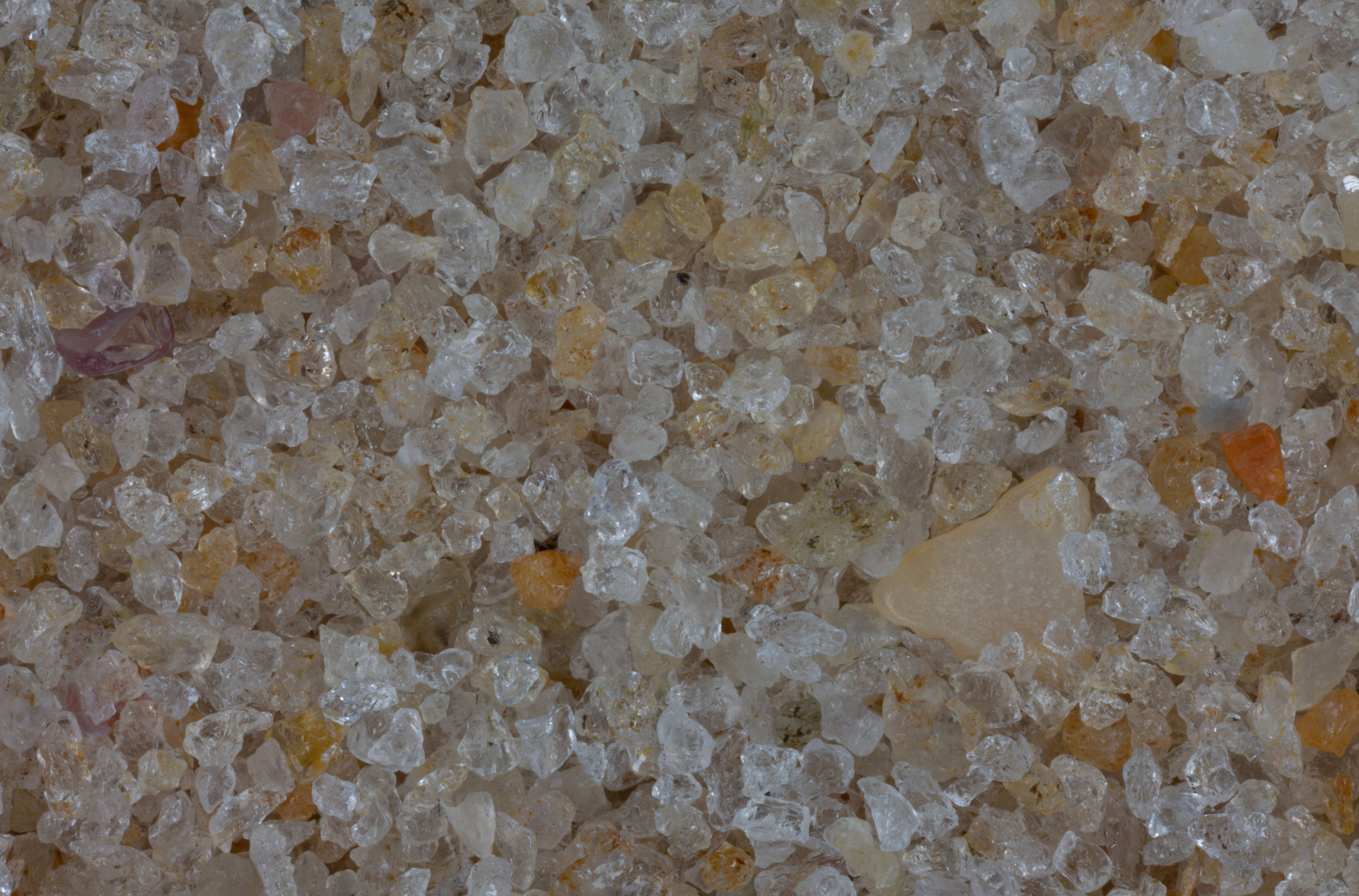
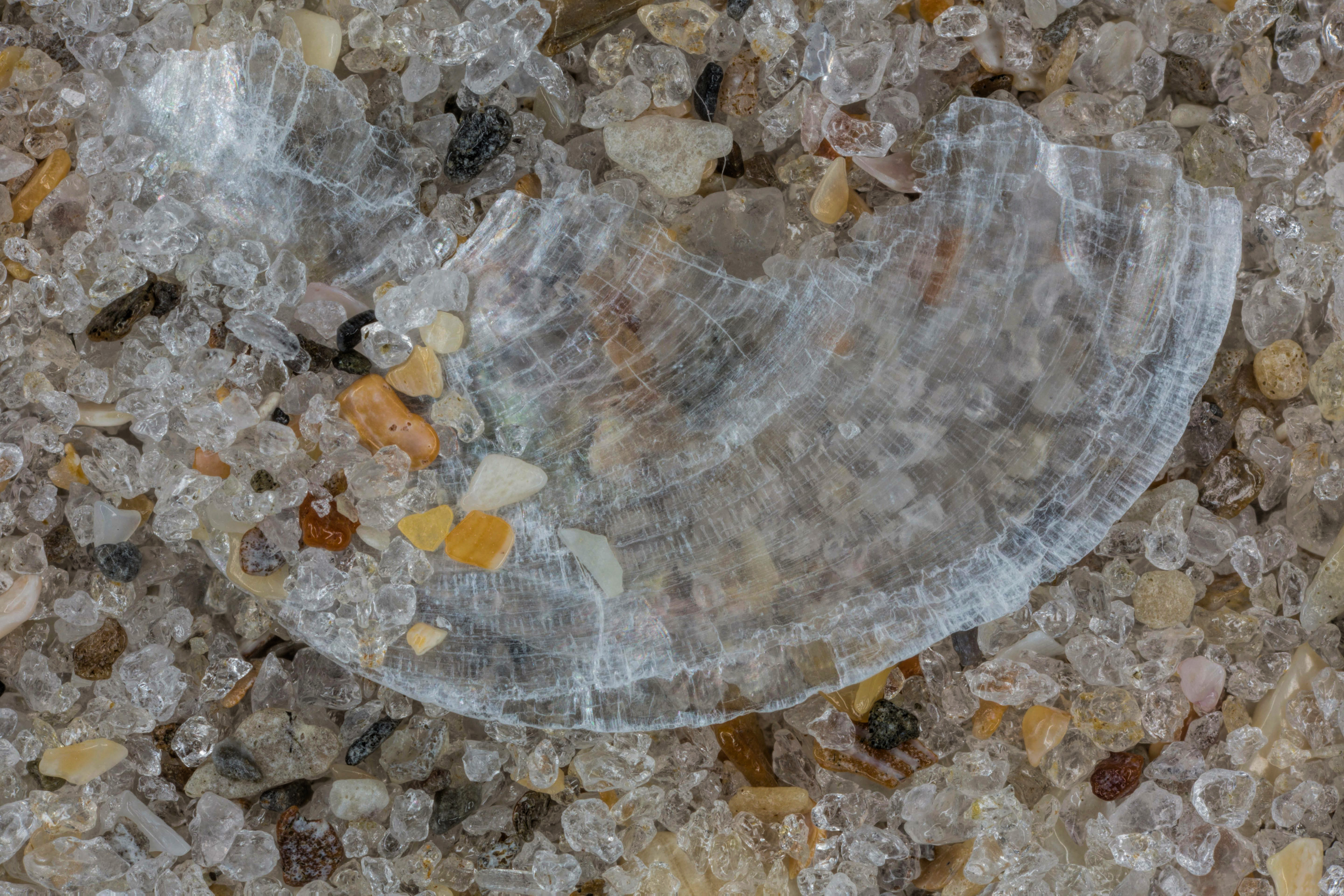
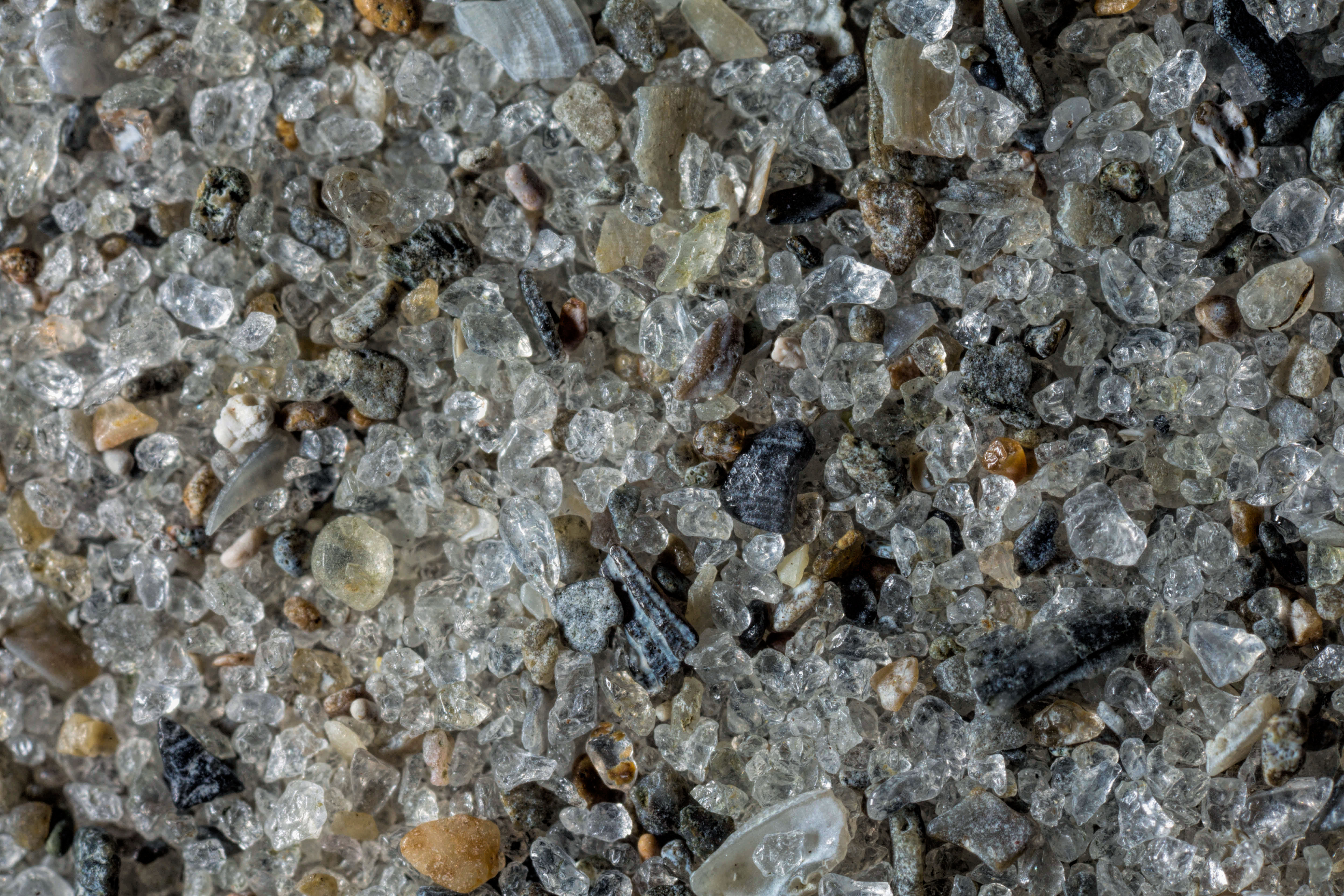
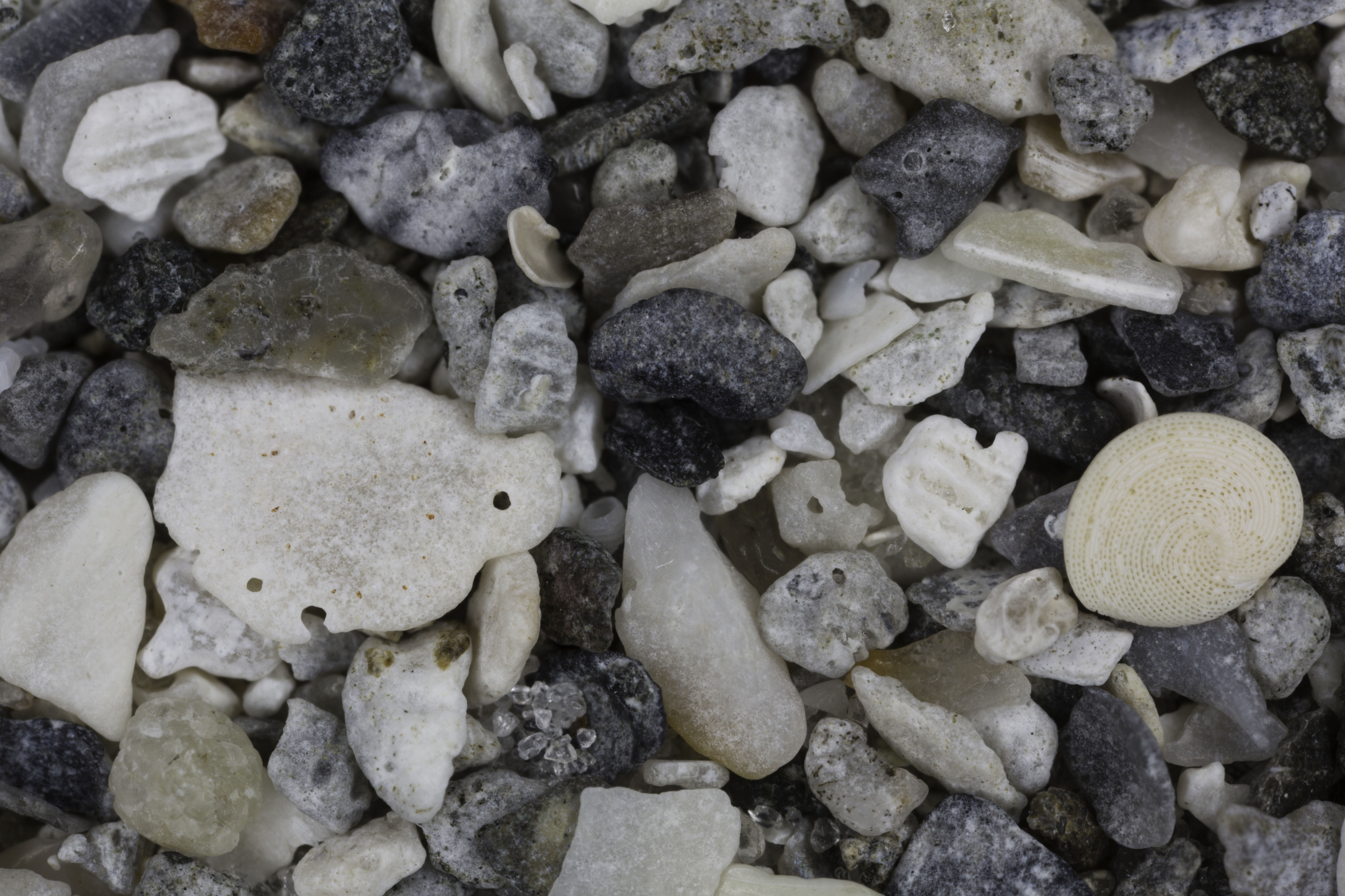
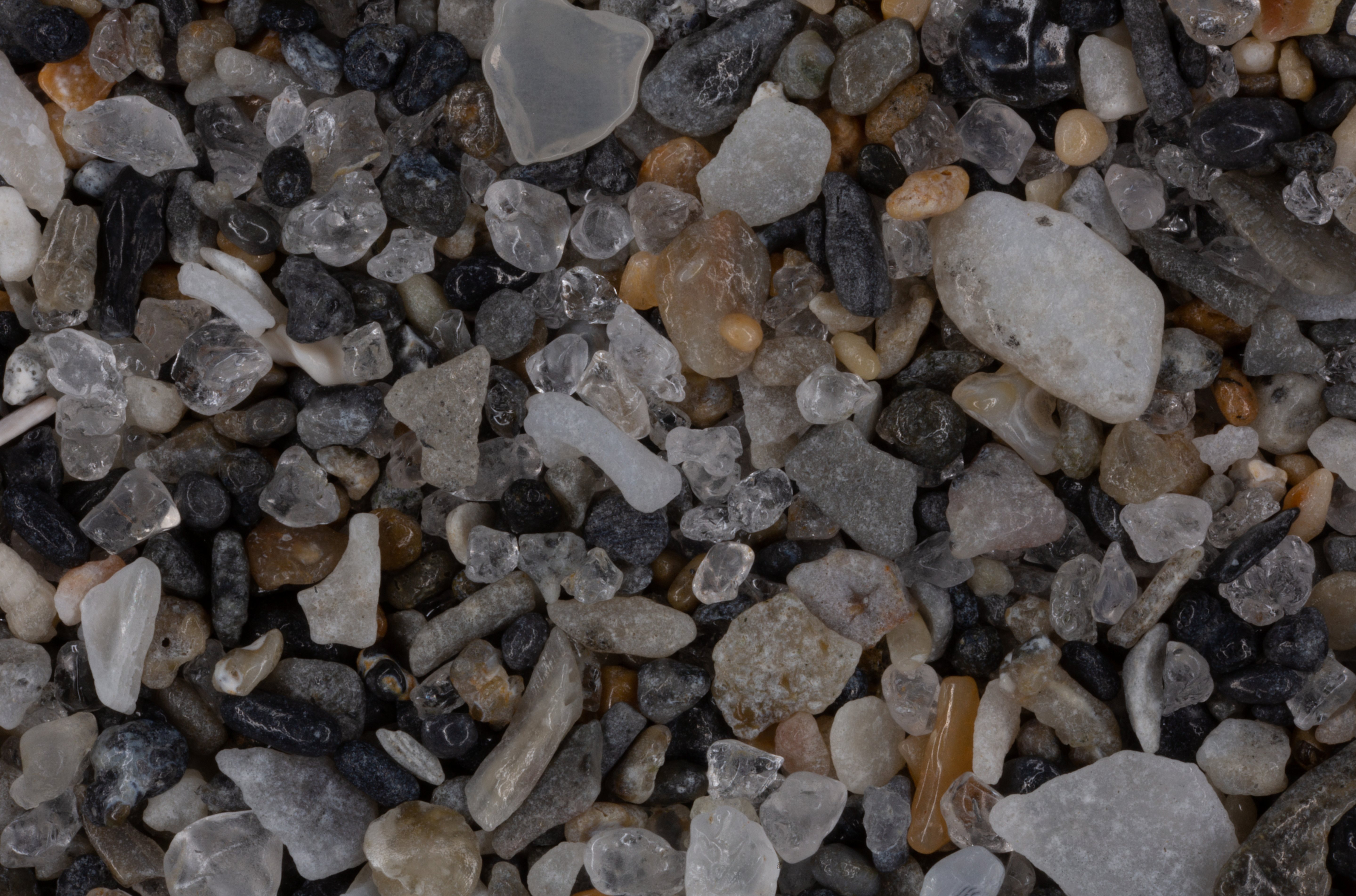
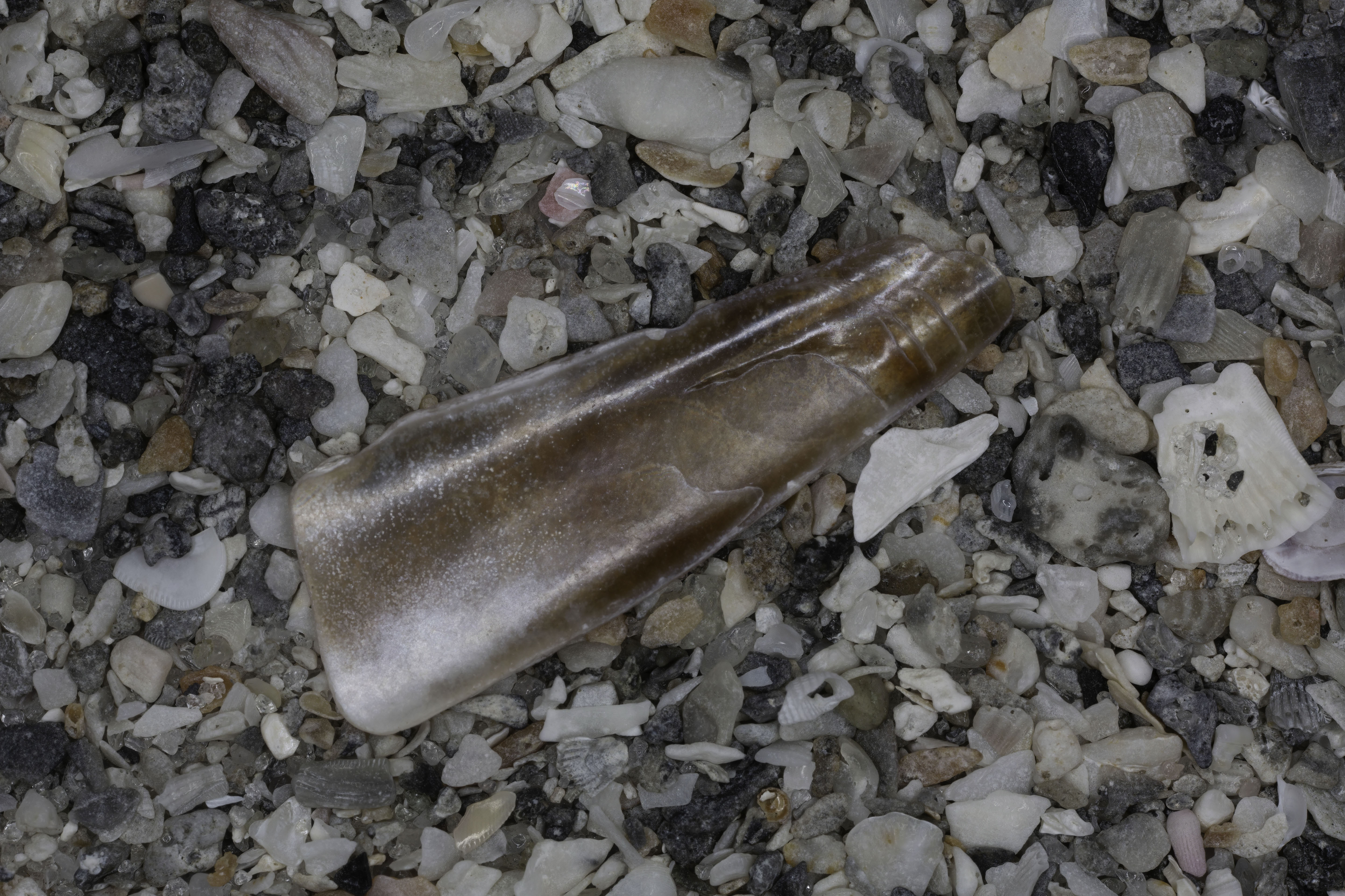
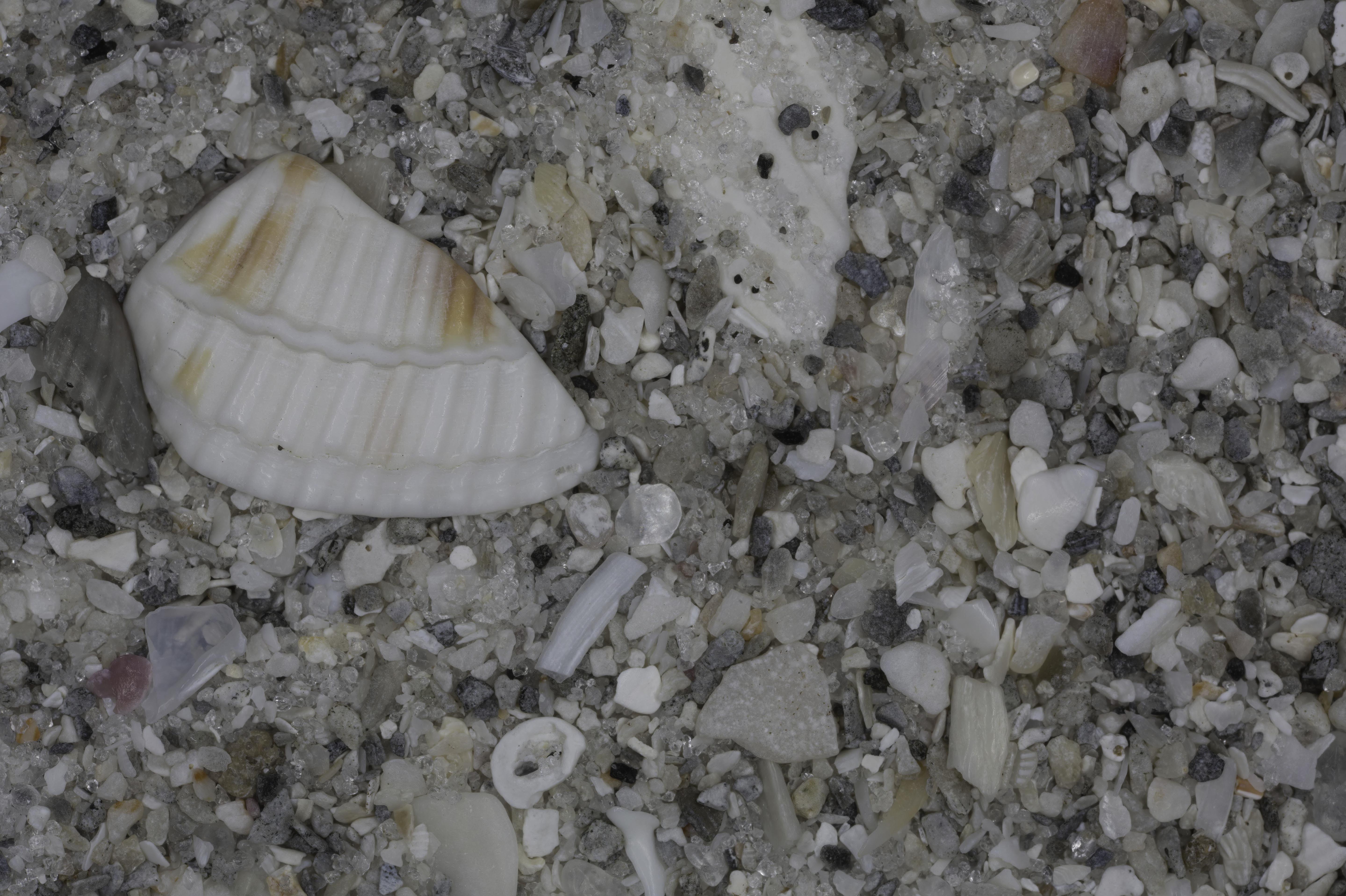
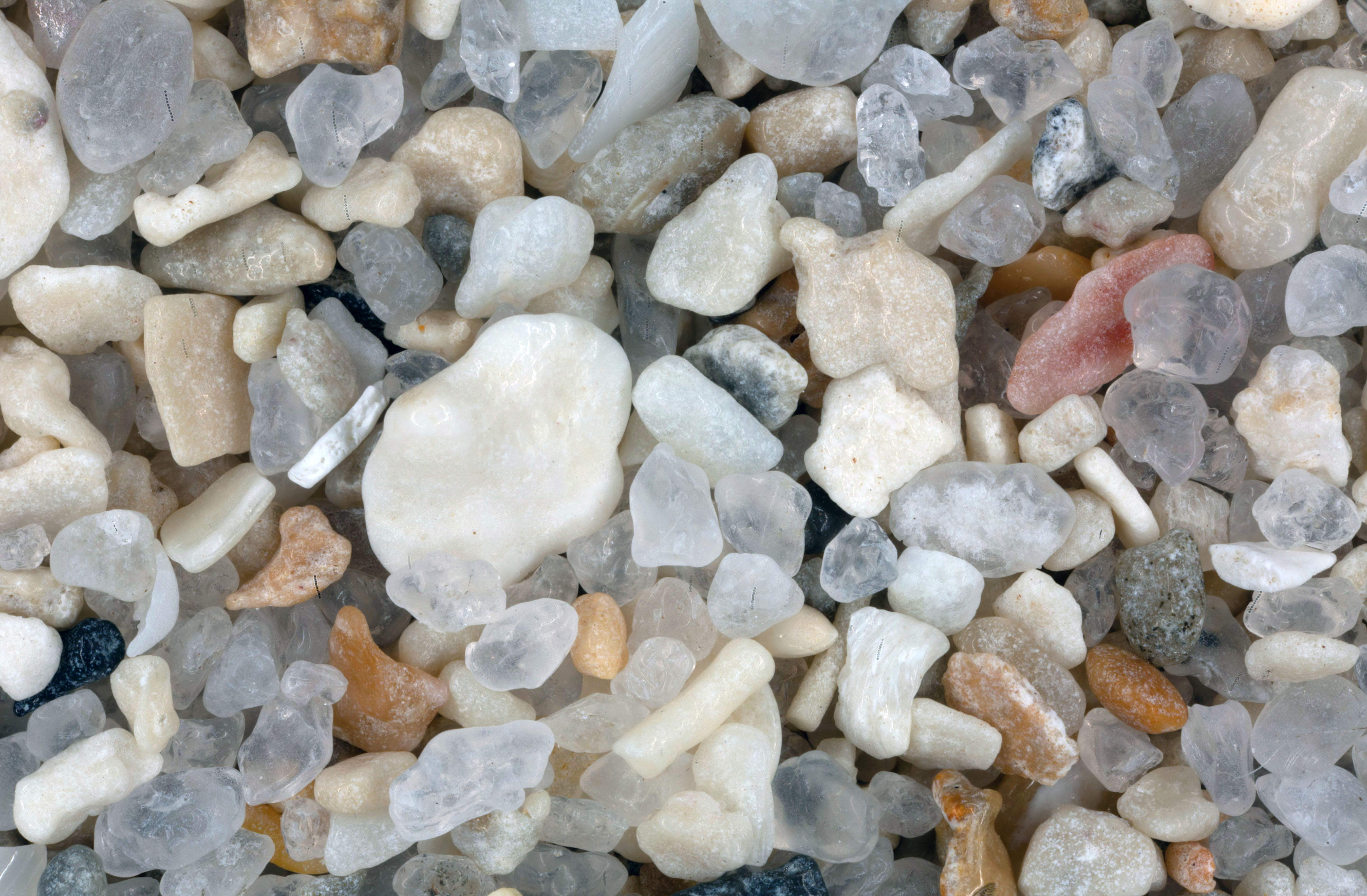
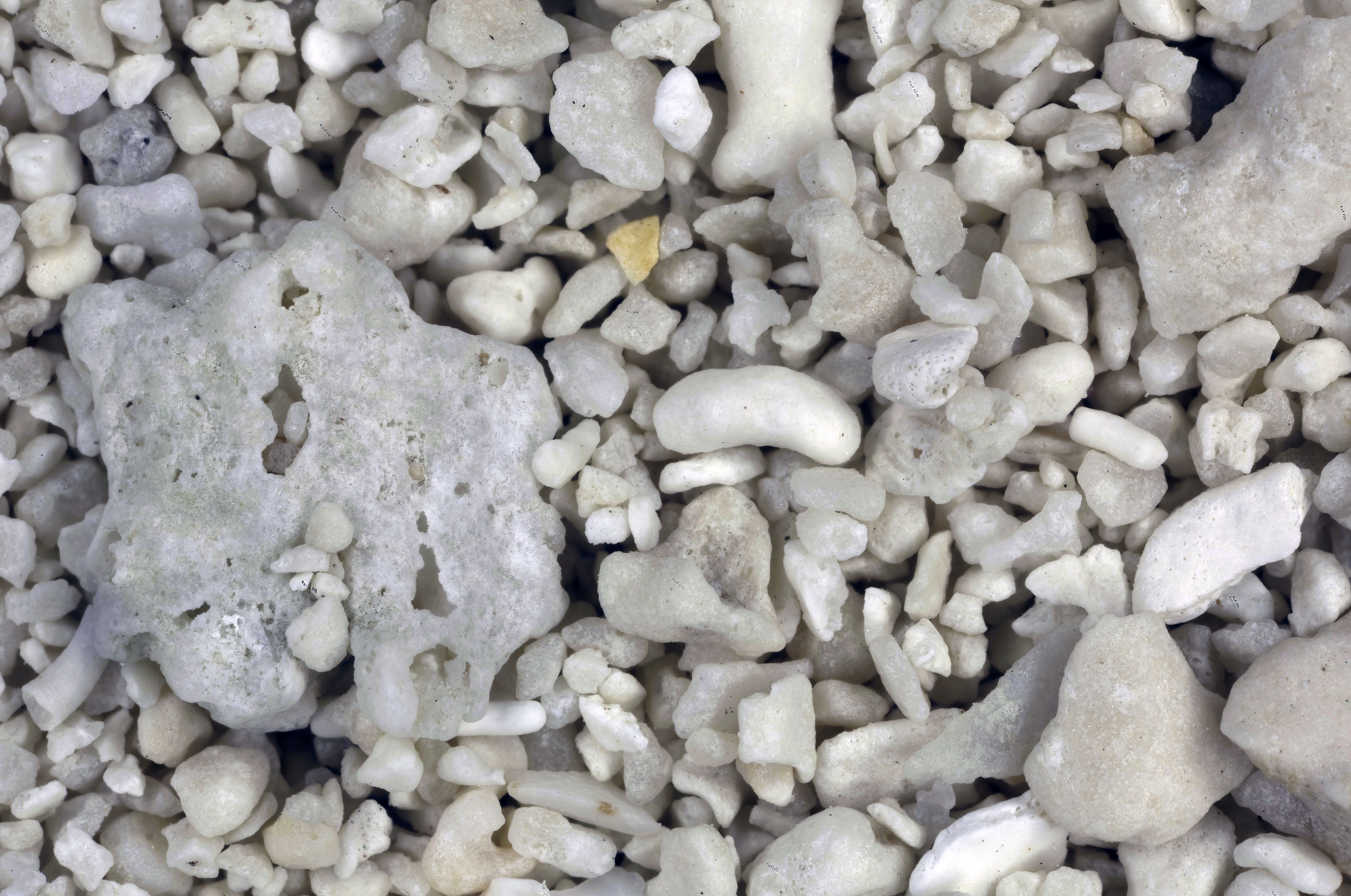
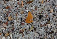
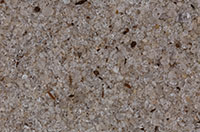
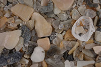
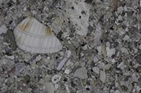
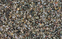
| Amelia Island (2 Samples) 30.62N, 81.45W |
 |
|
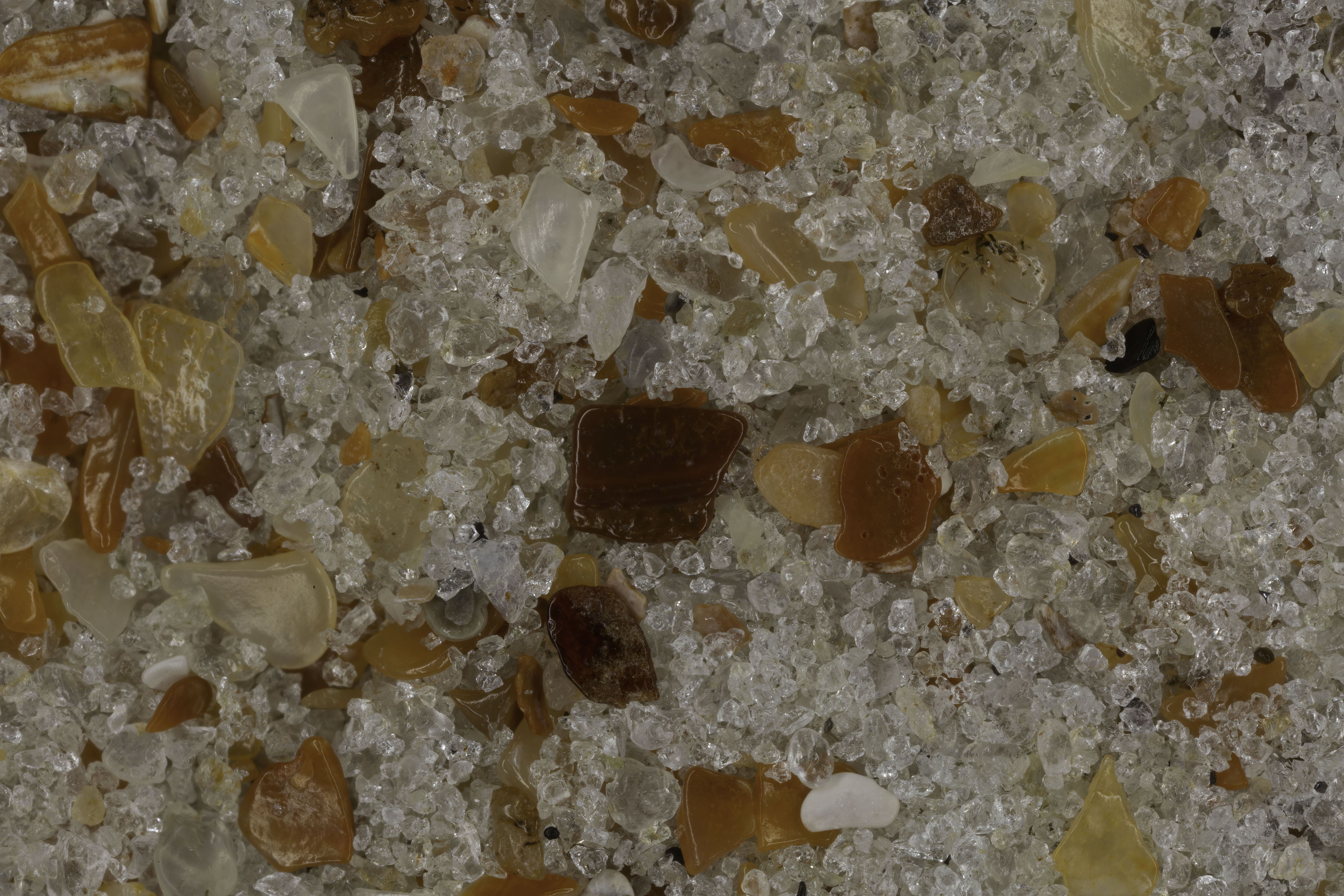
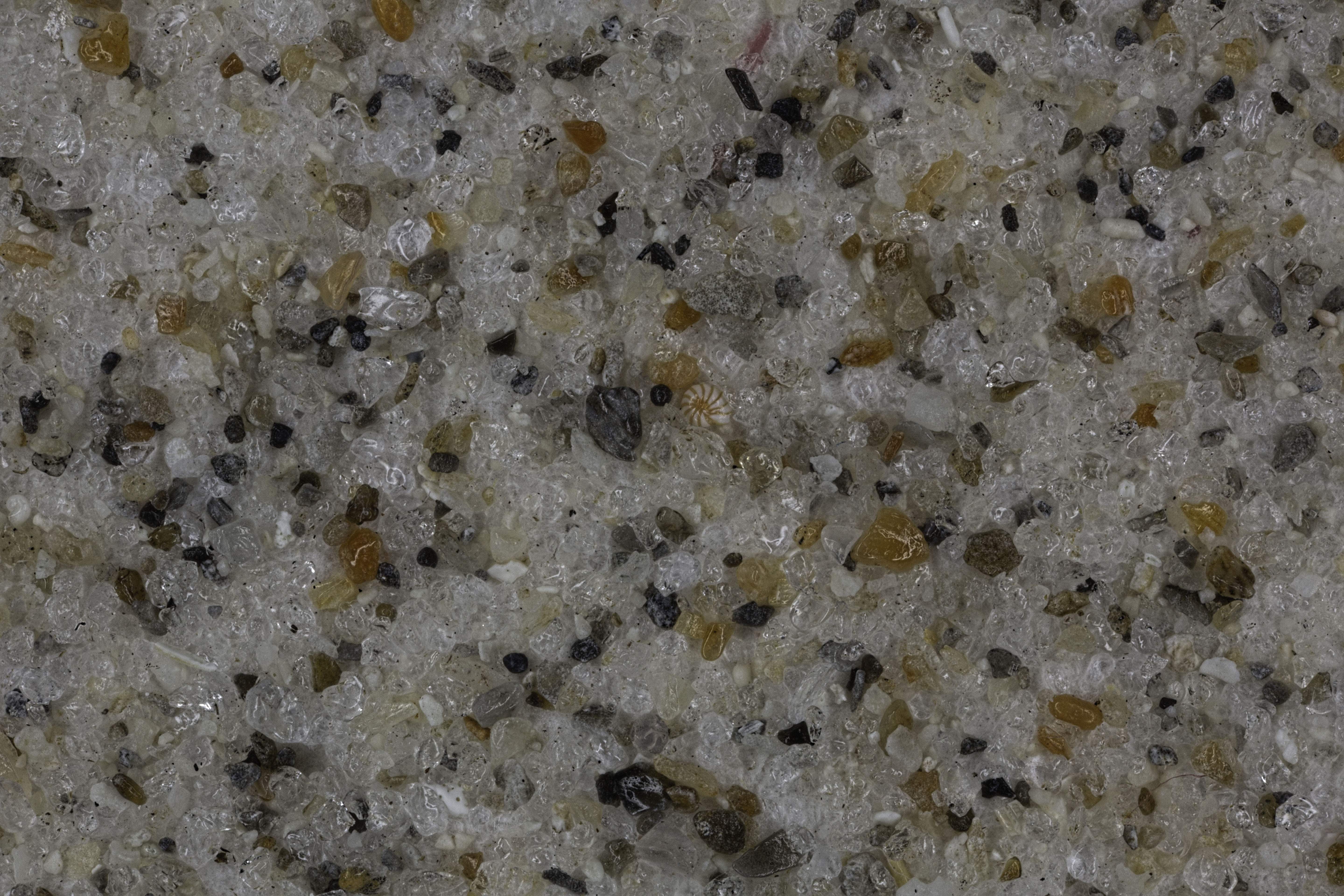
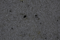
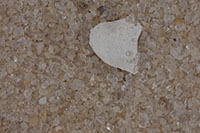
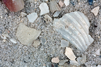
| Big Talbot Island 30.48N, 81.44W |
 |
|
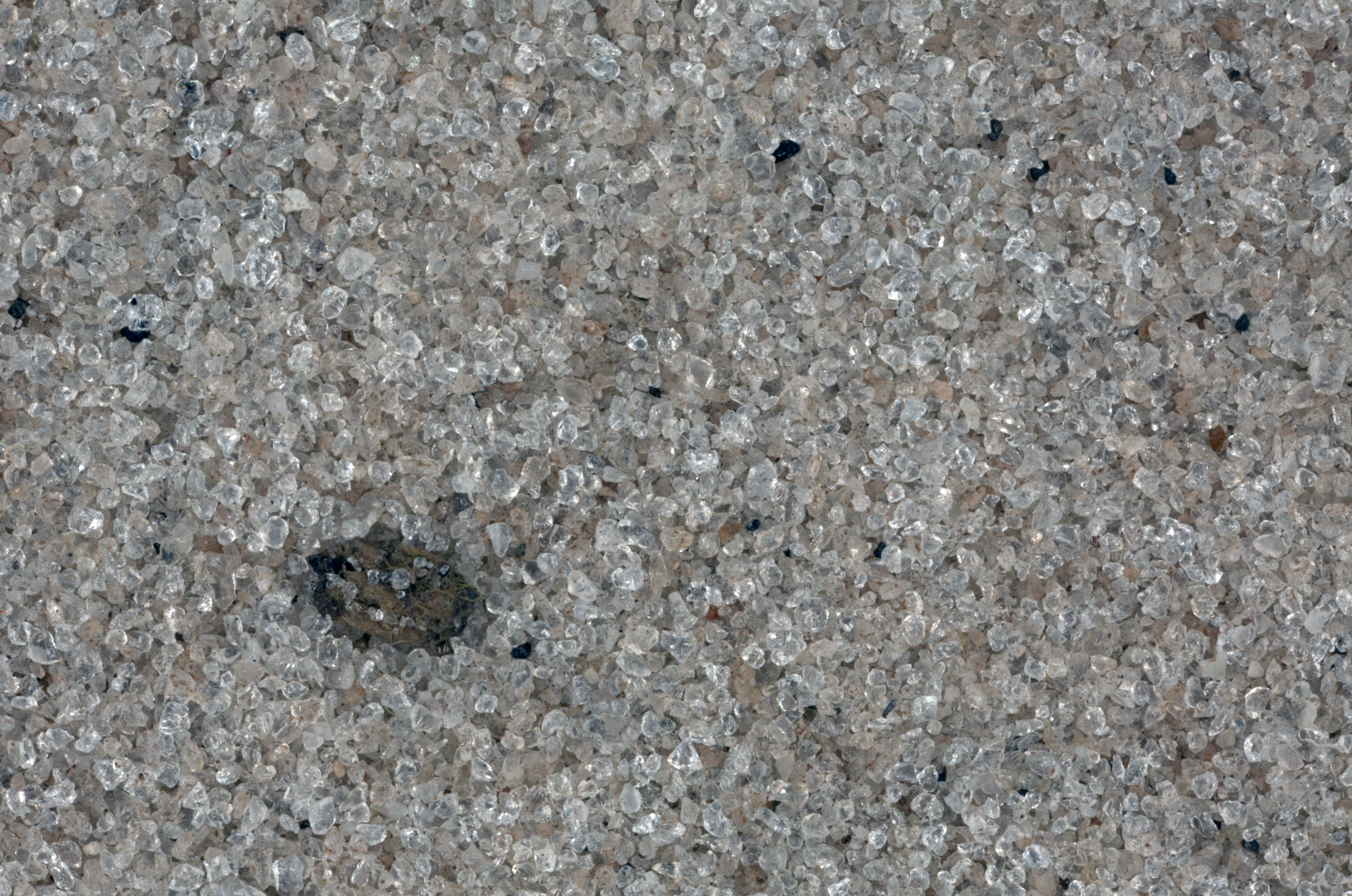
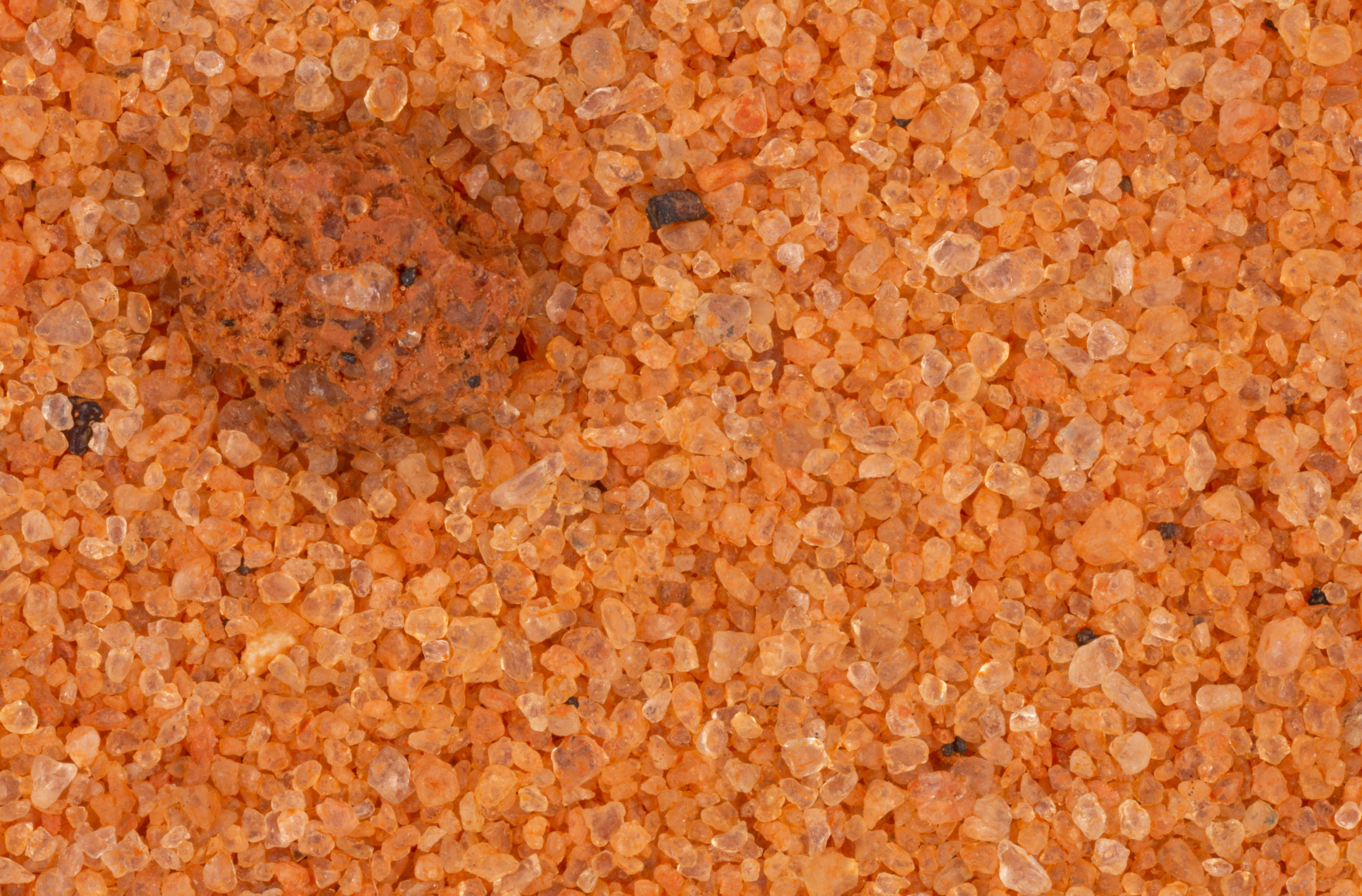
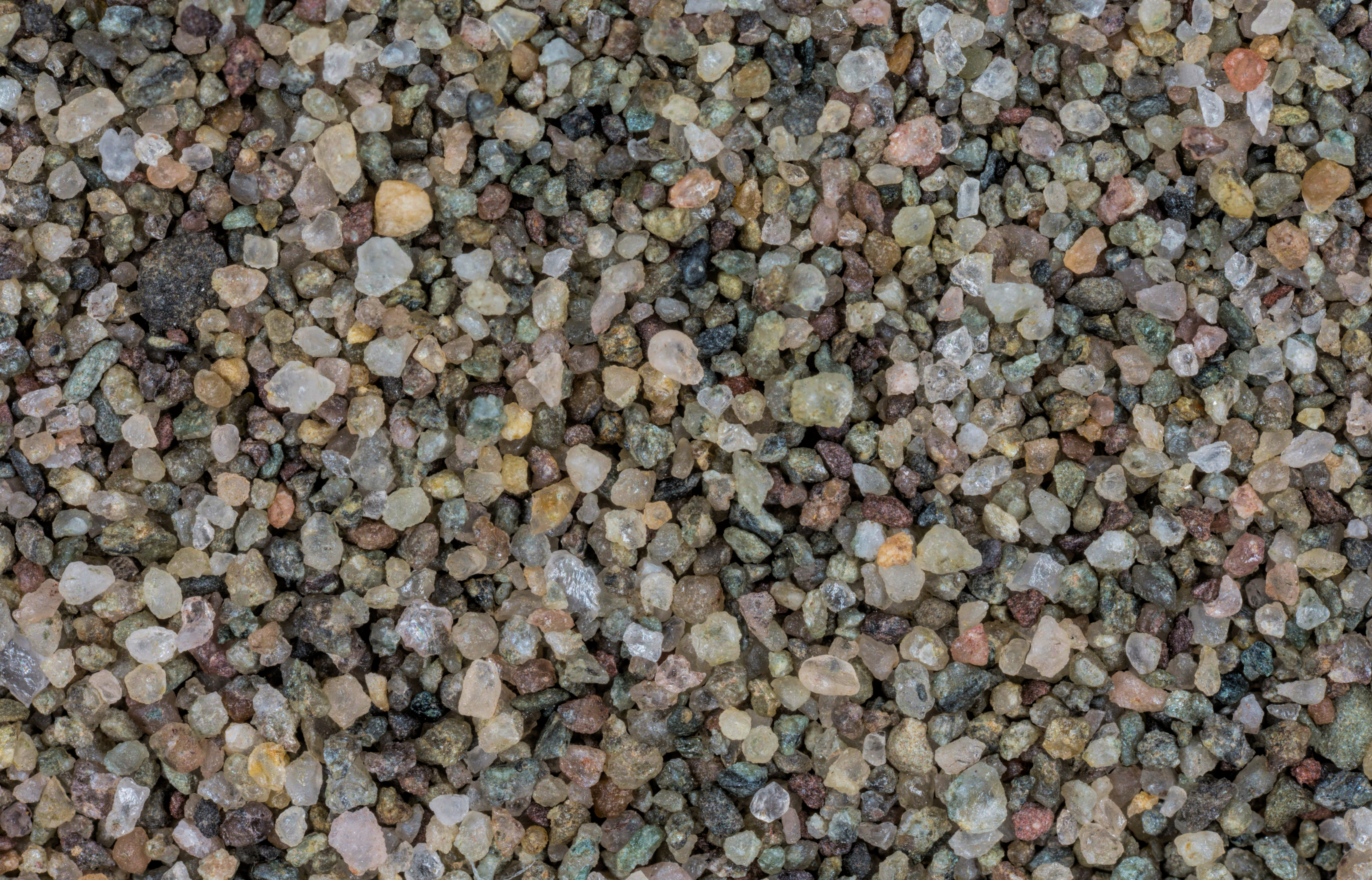
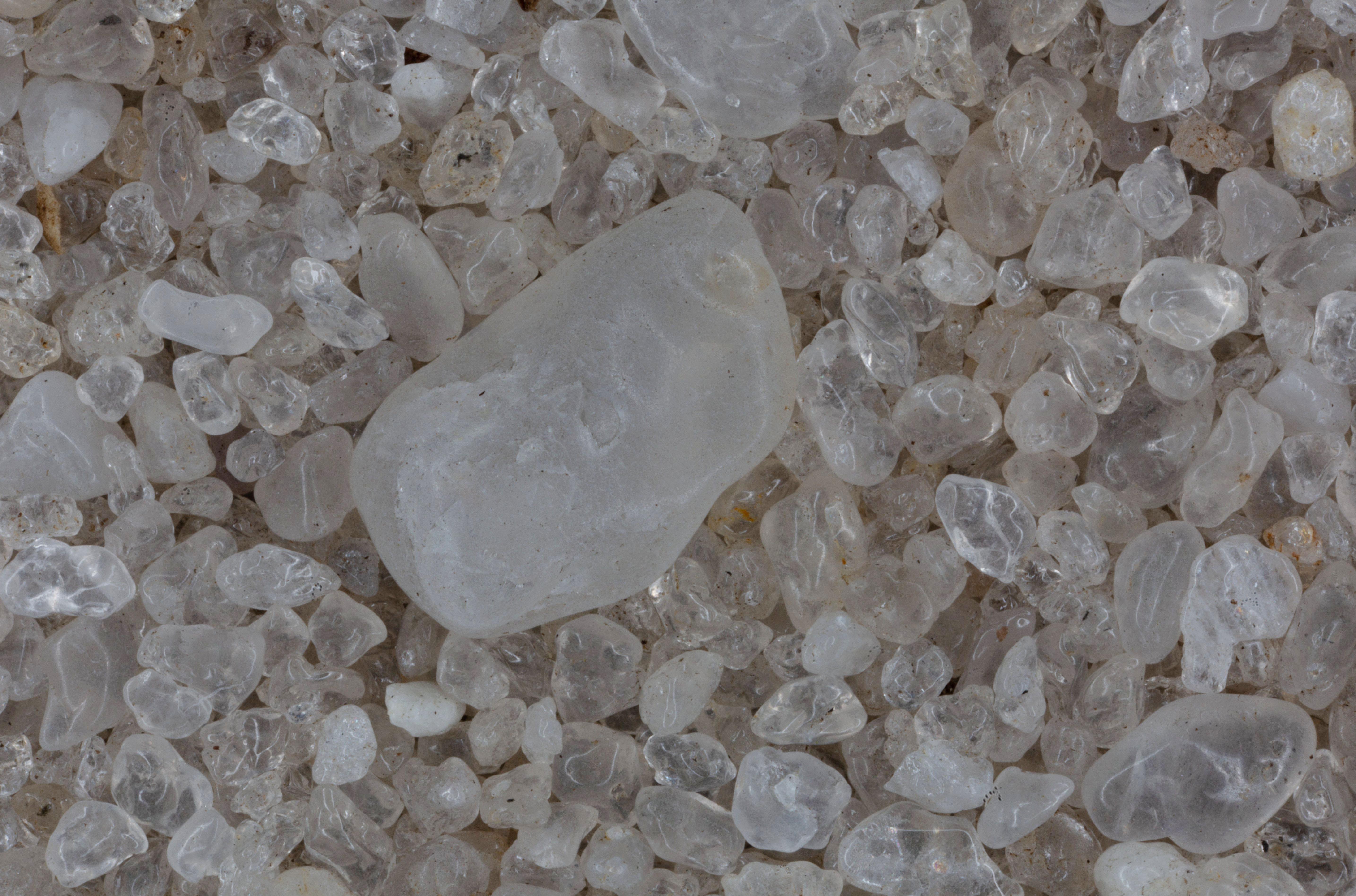
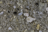
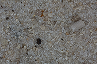
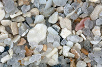
| Fort Walton Beach 30.42N, 86.62W |
 |
|
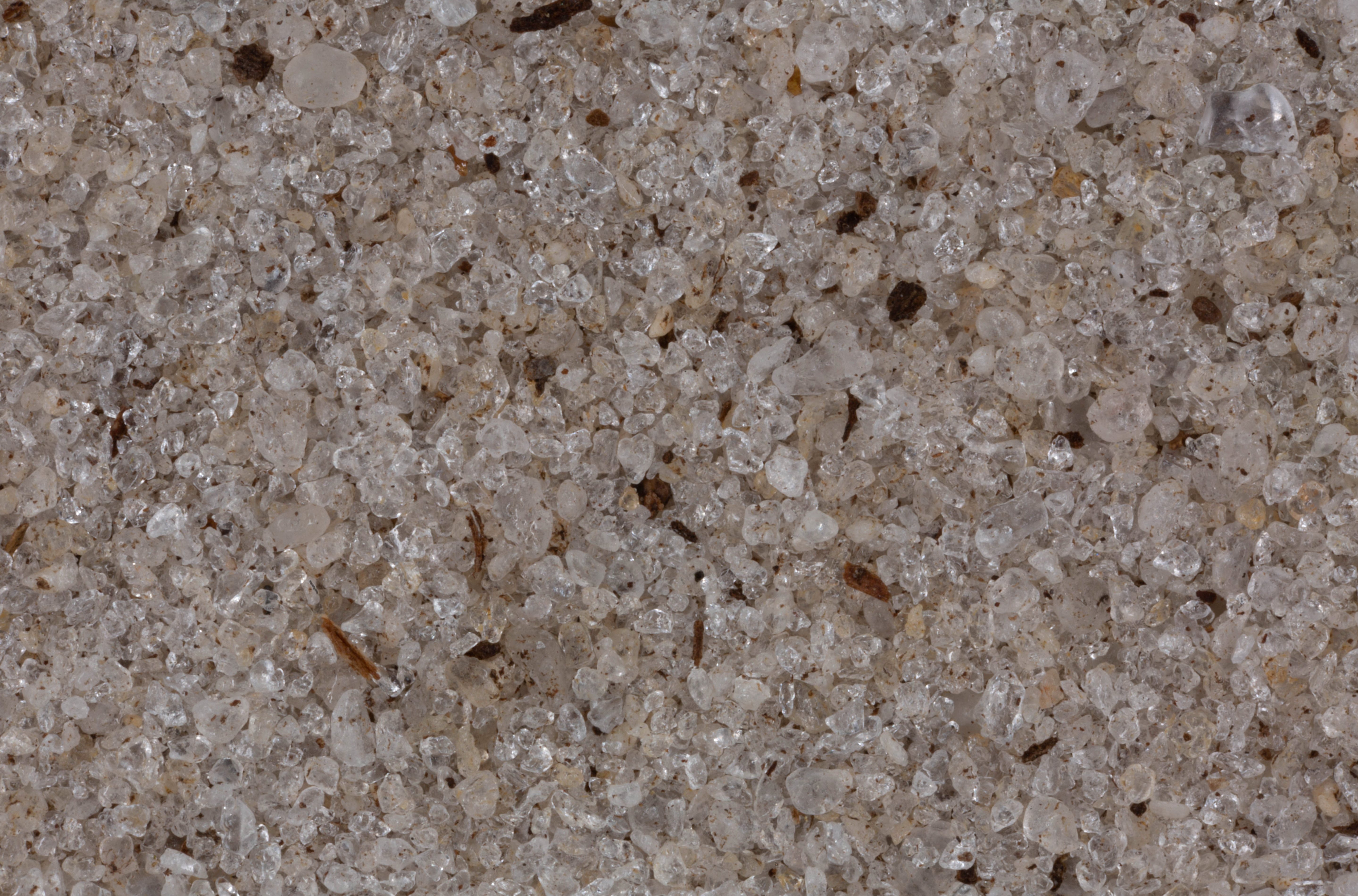
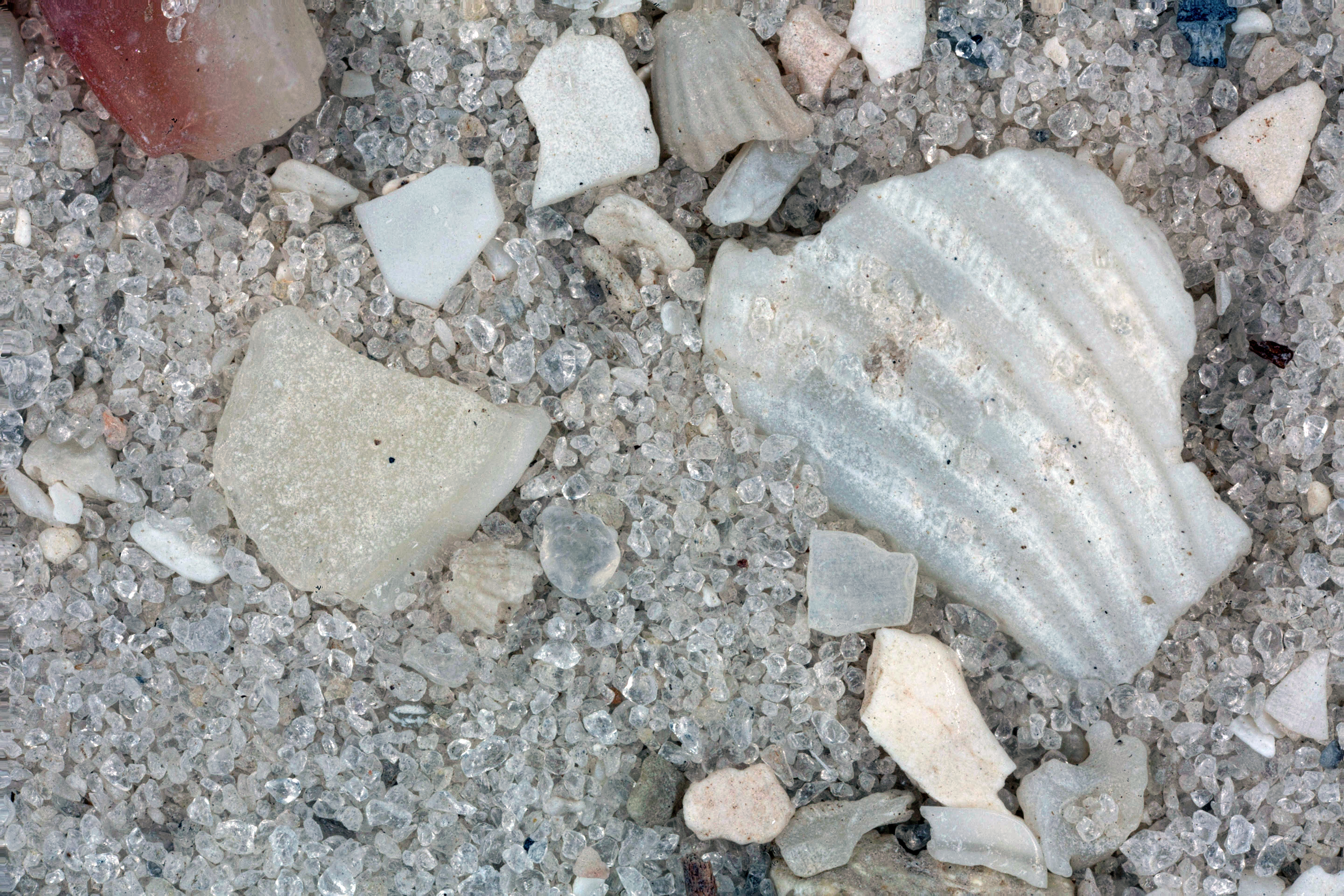
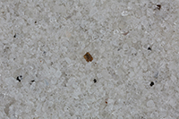
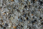
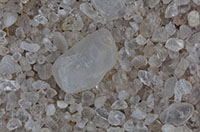
| Mayport (2 Samples) 30.39N, 81.42W |
 |
|
Destin (2 Samples) 30.39N, 86.48W |
 |
|
| Gulf Islands National Seashore 30.36N, 86.97W |
 |
|
| Huguenot Memorial Park (2 Samples) 30.34N, 81.66W |
 |
|
| Neptune Beach 30.32N, 81.40W |
 |
|
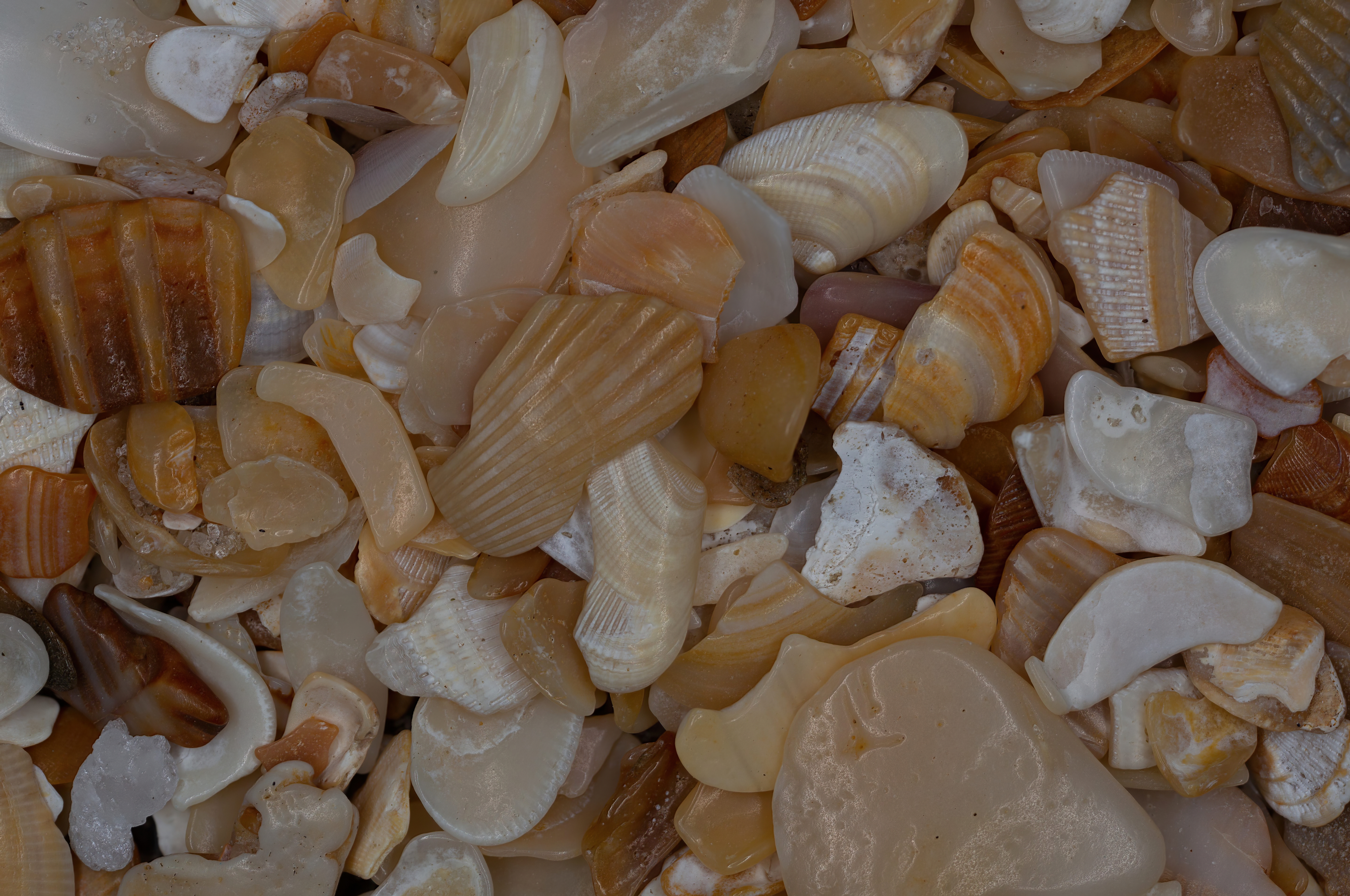
| Ponte Vedra Beach 30.23N, 81.38W |
 |
|
| Shell Island, Panama City 30.17N, 85.66W |
 |
|
| Guana Tolomato Matanzas Nat. Estuarine Research Reservation 29.99N, 81.35W |
 |
|
| Washington Oak Park Beach 29.88N, 81.30W |
 |
|
| Indian Pass 29.69N, 85.26W |
 |
|
| Cape San Blas 29.66N, 85.36W |
 |
|
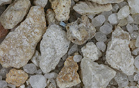
| St. George Island 29.65N, 84.88W |
 |
|
| Ormond-By-The-Sea 29.34N, 81.07W |
 |
|
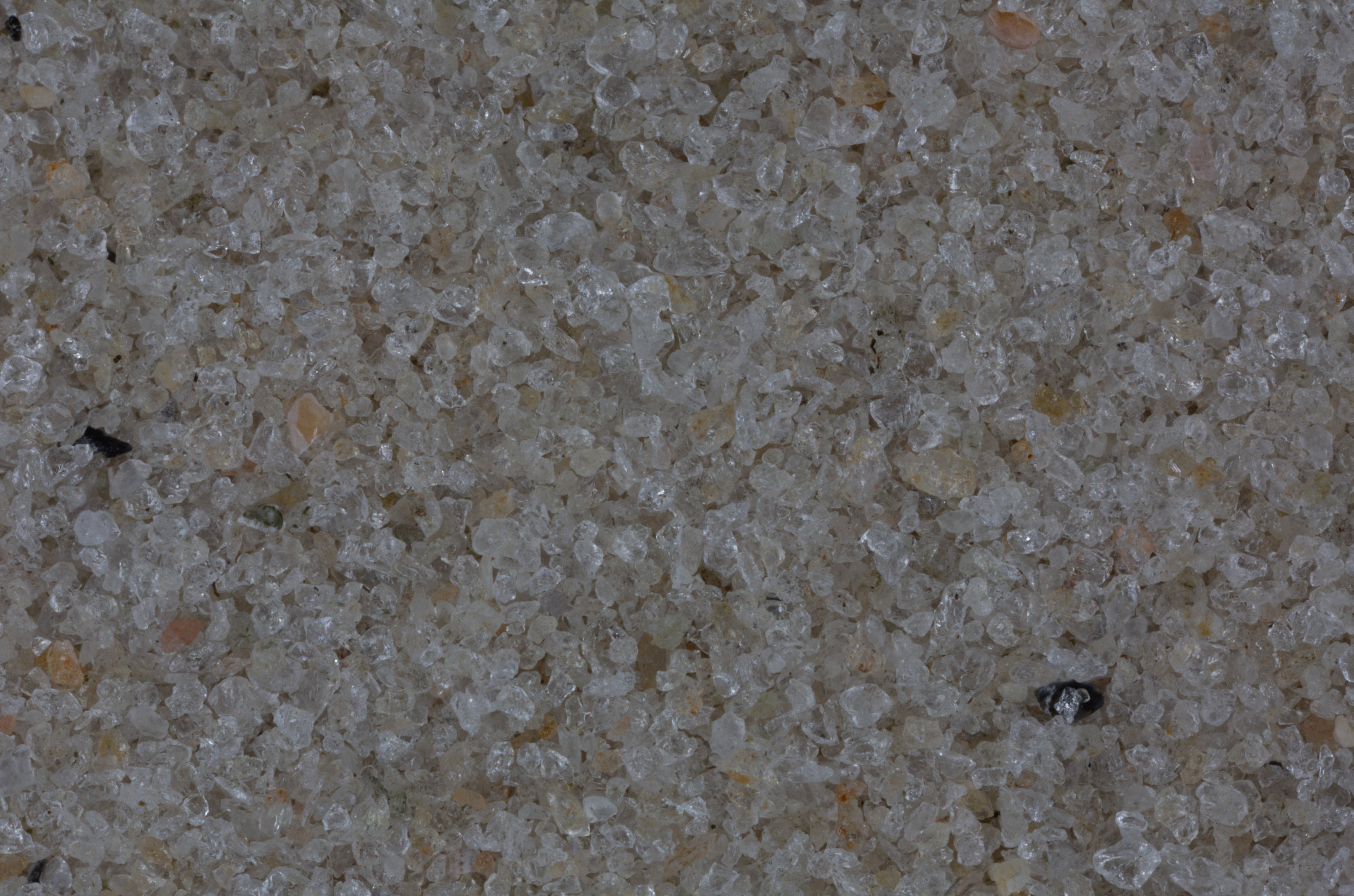
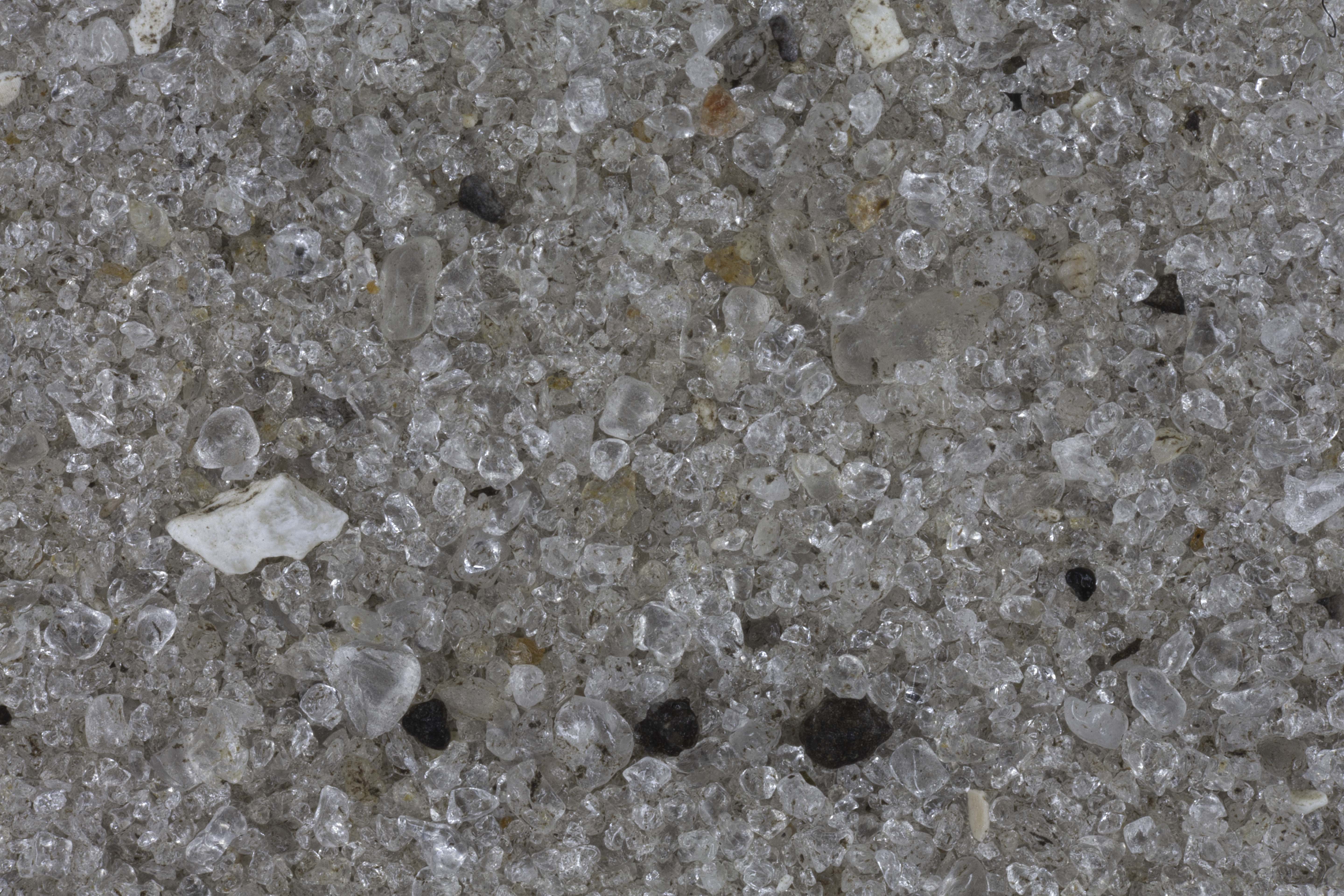
| Suwannee River 29.29N, 83.17W |
 |
|
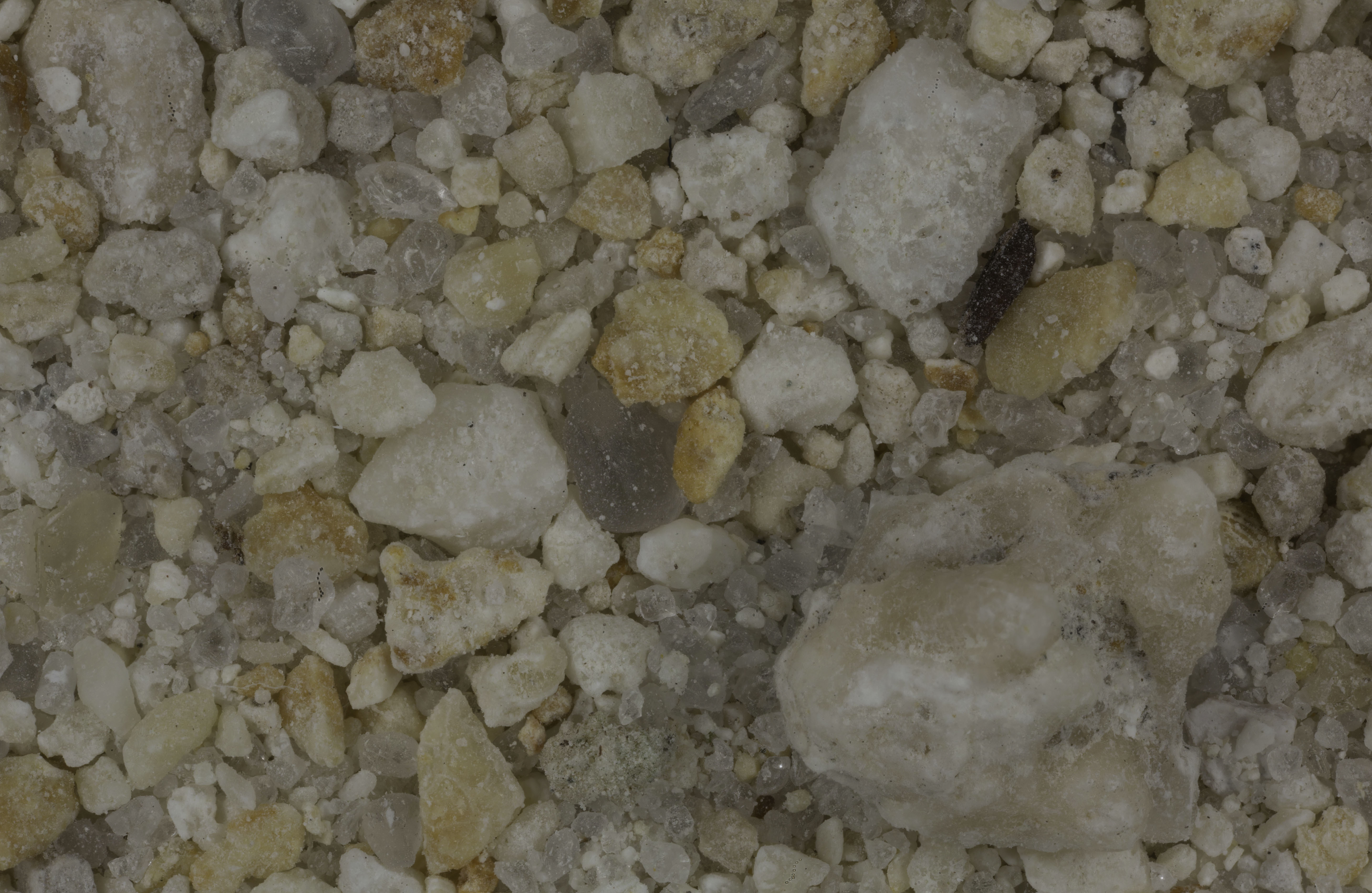
| Ocala 29.19N, 82.13W |
 |
|
| Dunnellon 29.05N, 82.45W |
 |
|
| Yankeetown 29.03N, 82.72W |
 |
|
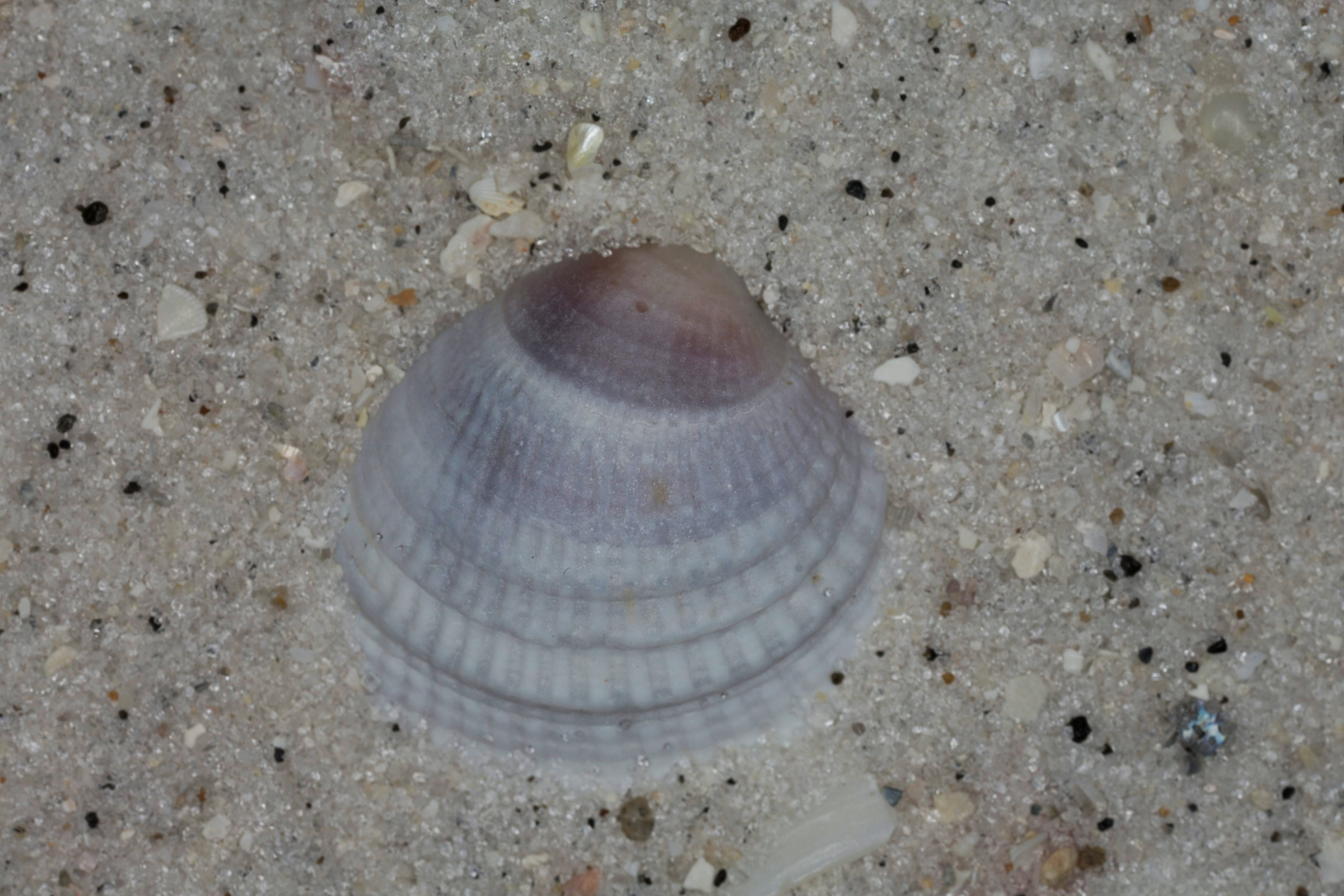
| Canaveral National Seashore (2 Samples) 28.77N, 80.78W |
 |
|
|
|
 |
|
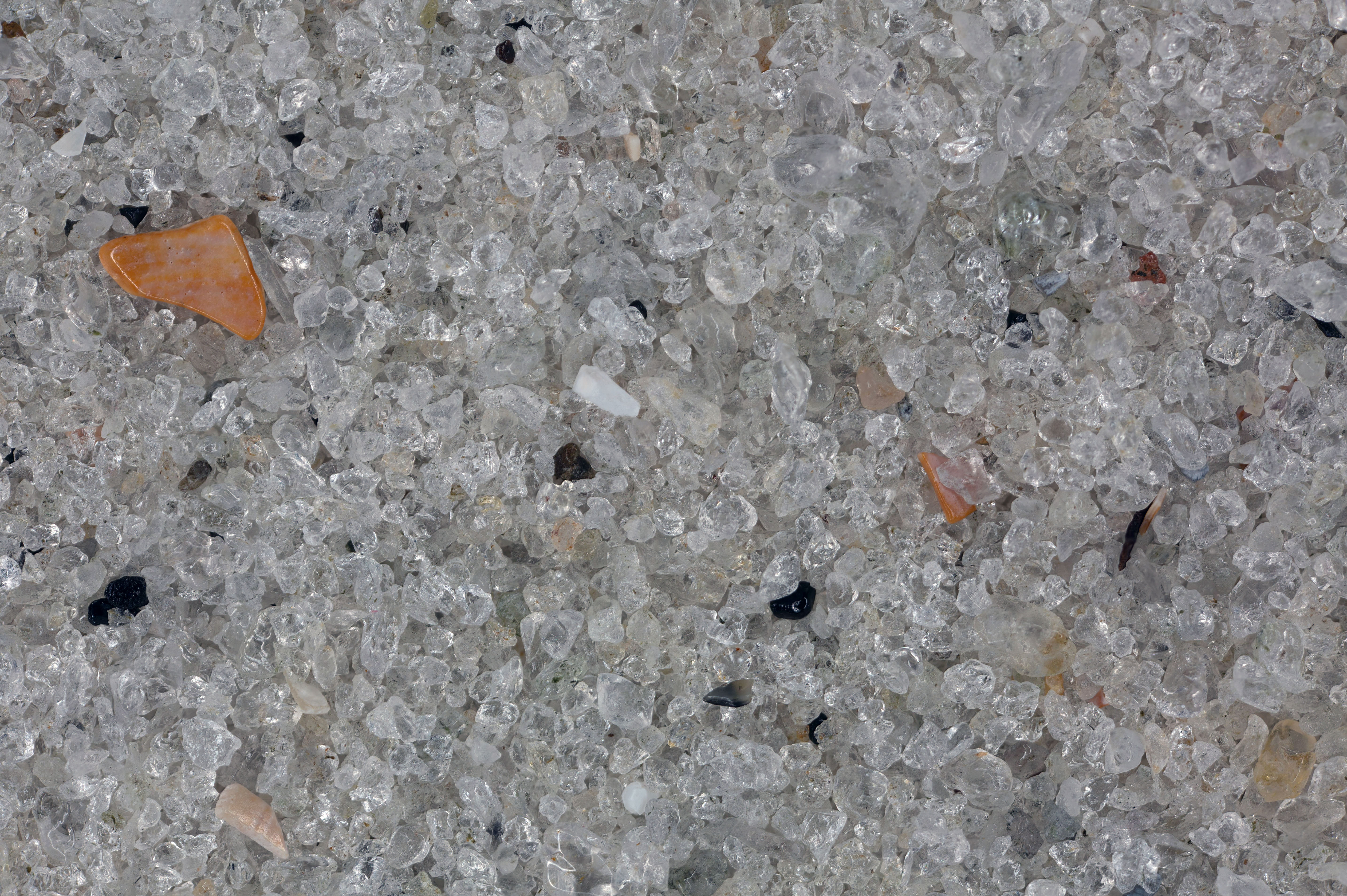
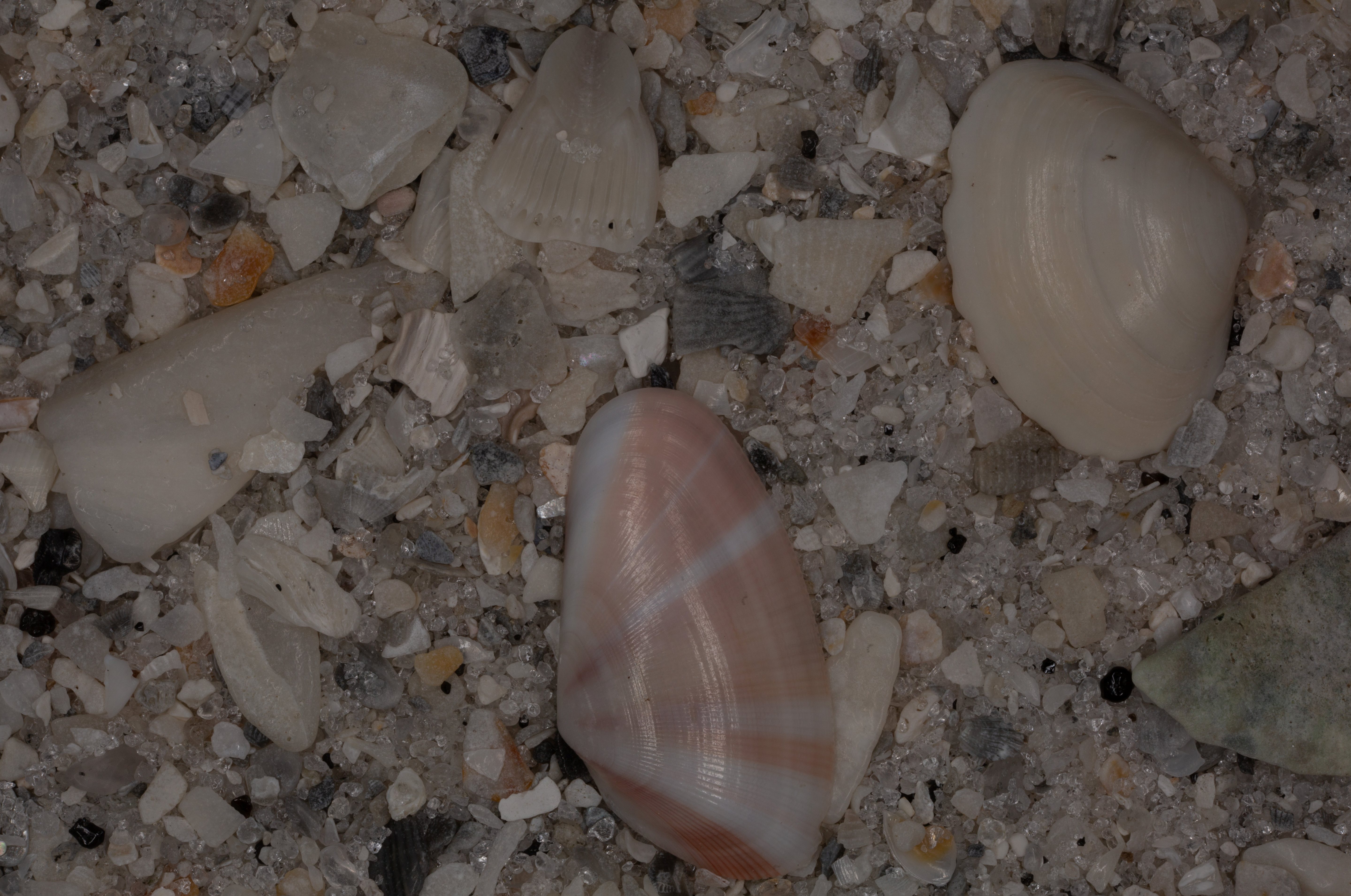
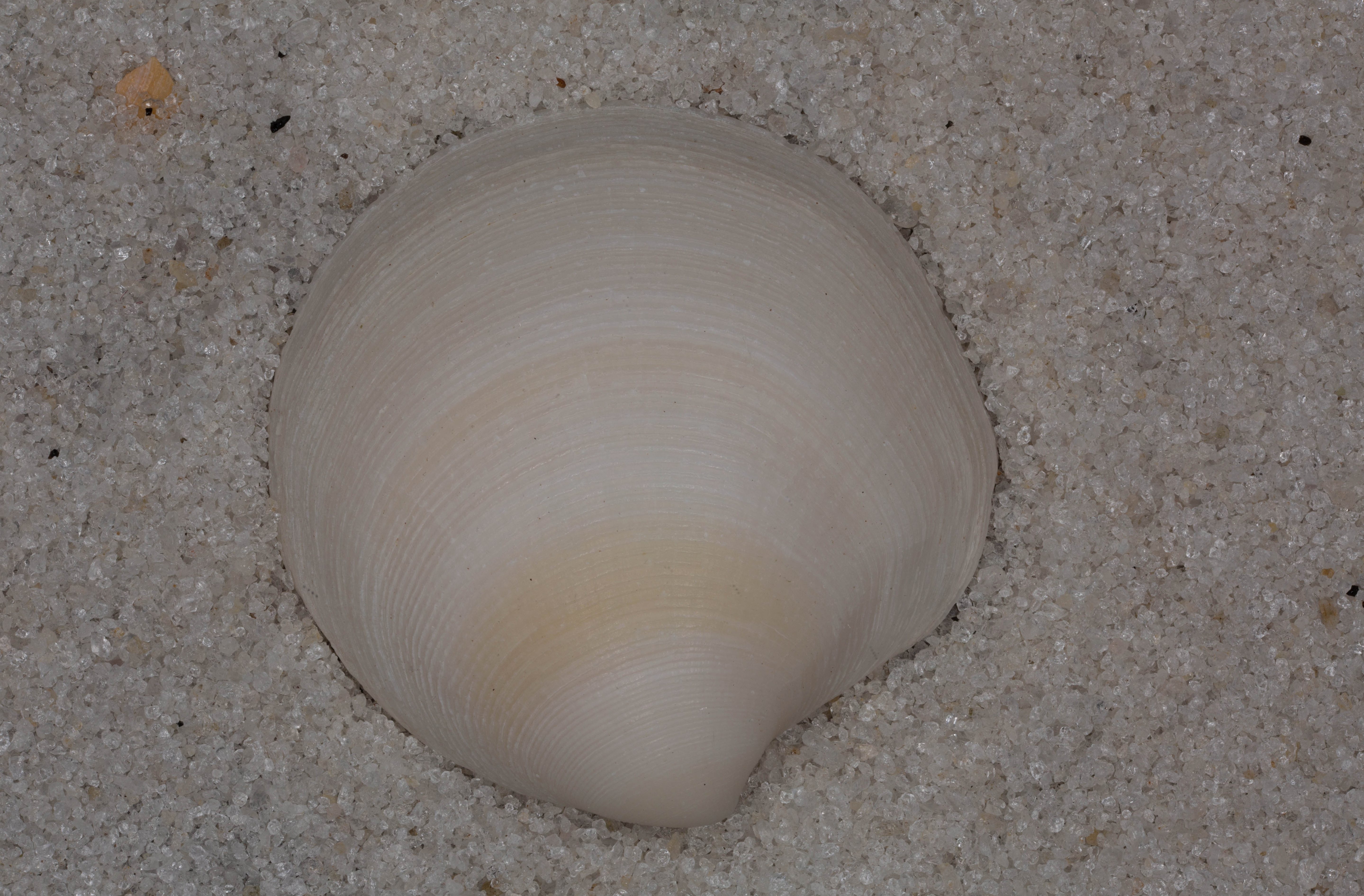
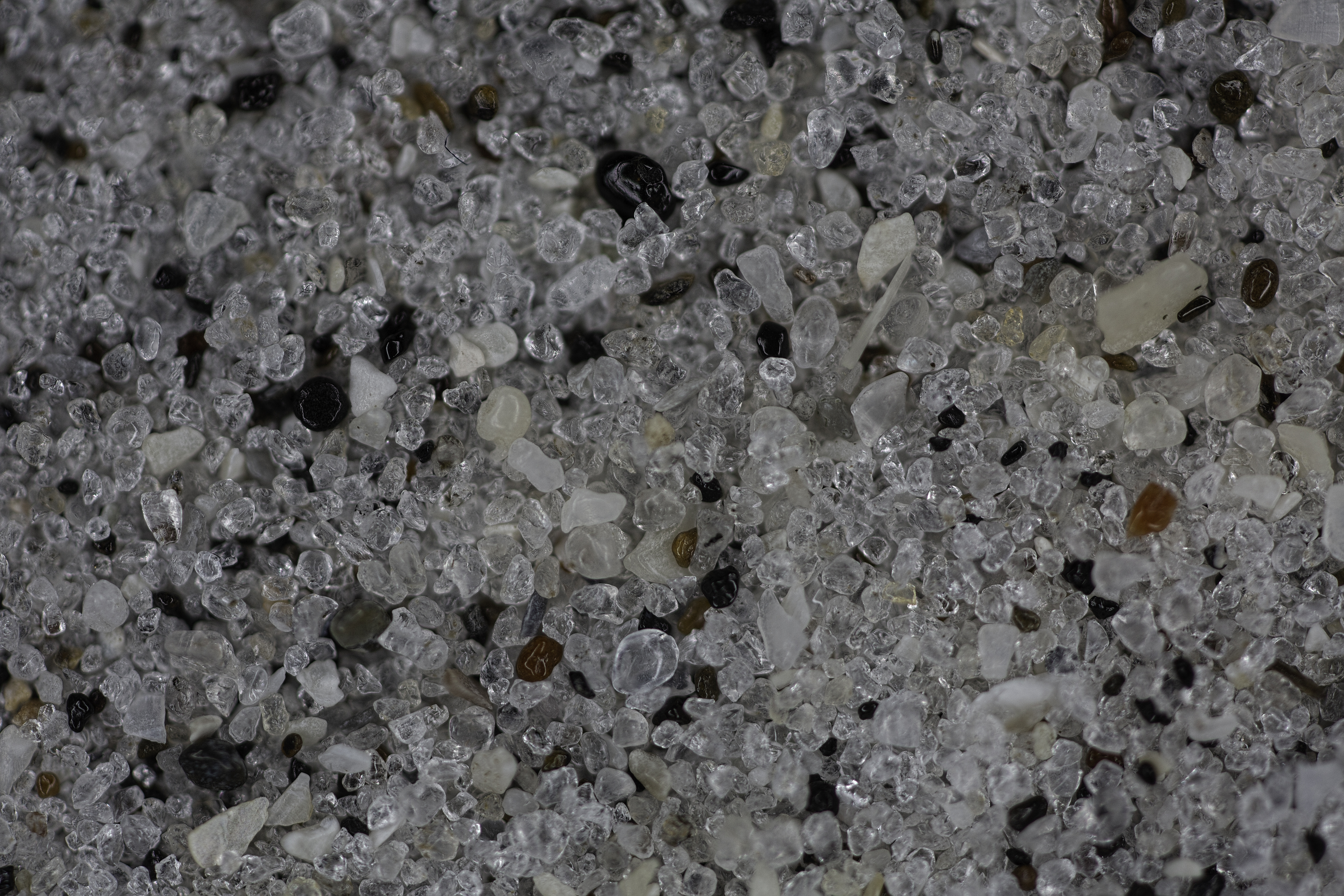
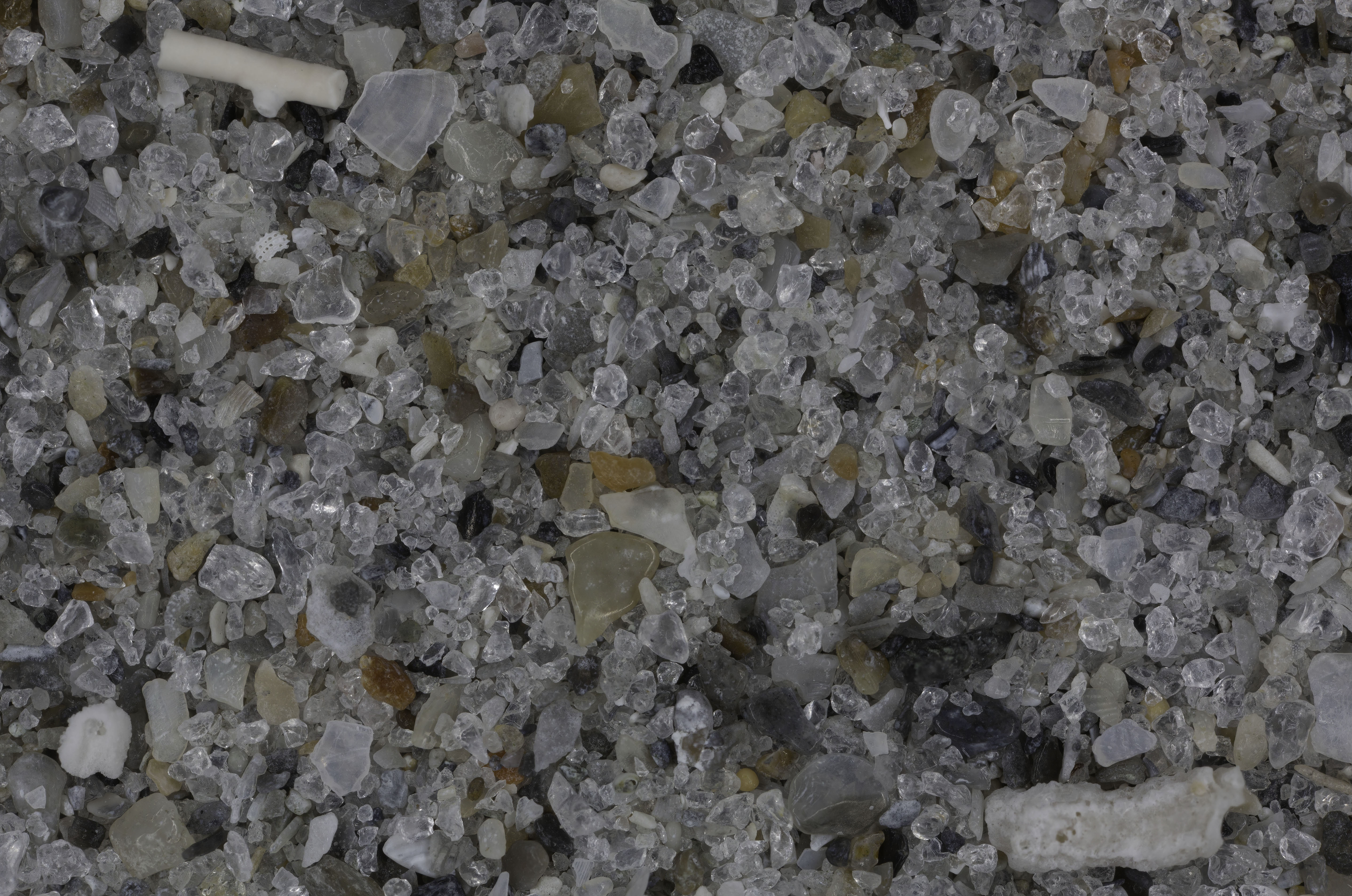
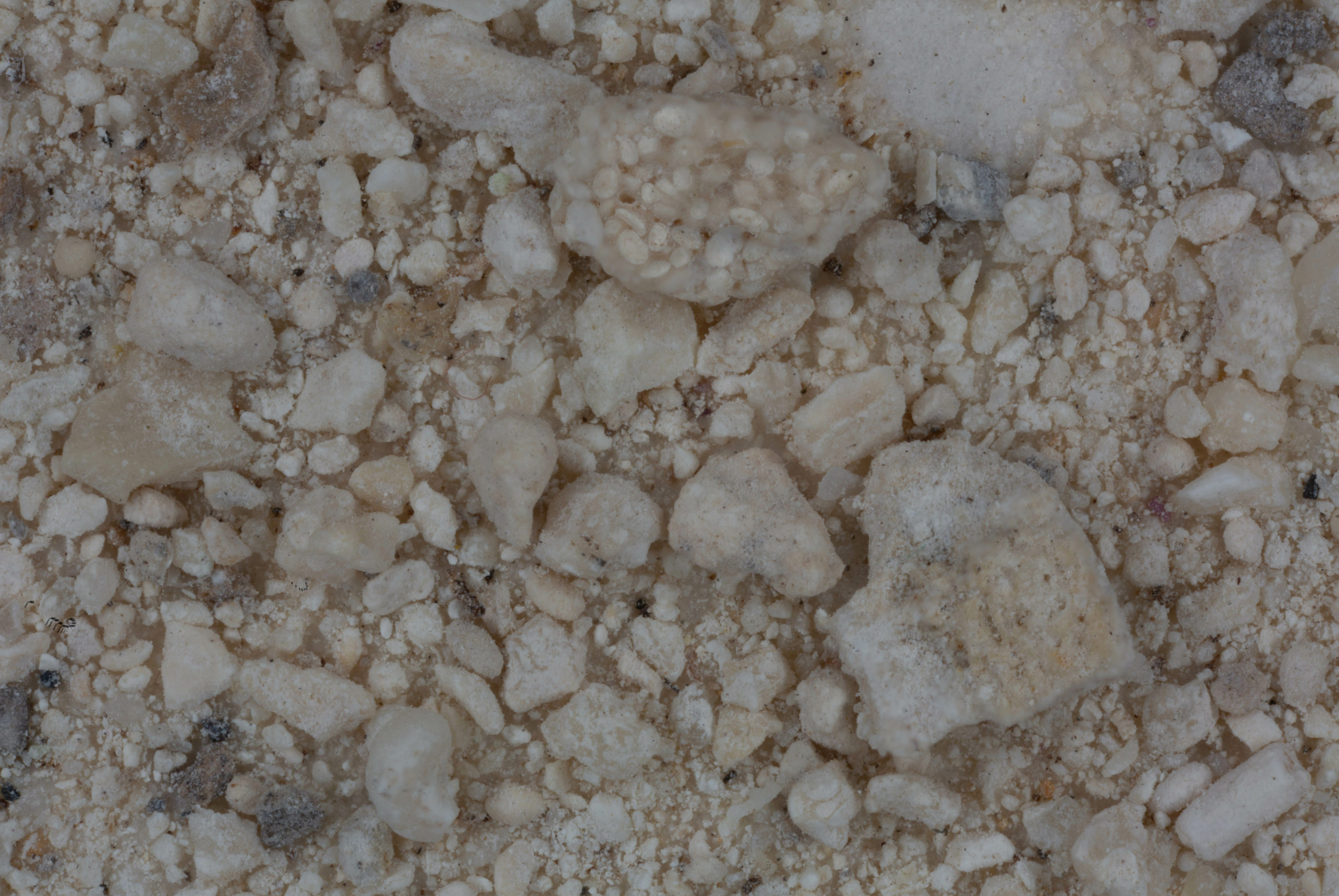
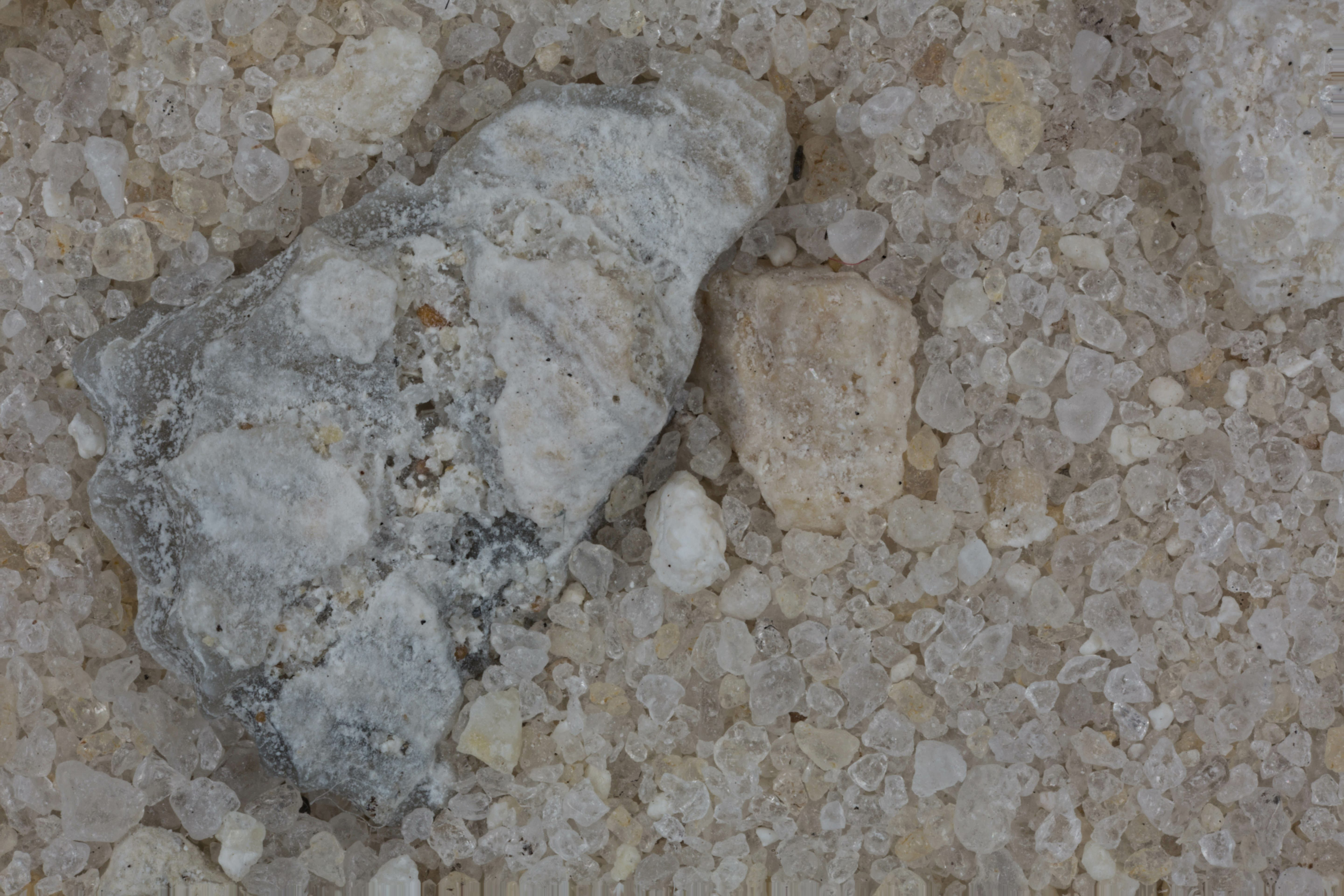
| Caladesi Island, Dunedin 28.10N, 82.70W |
 |
|
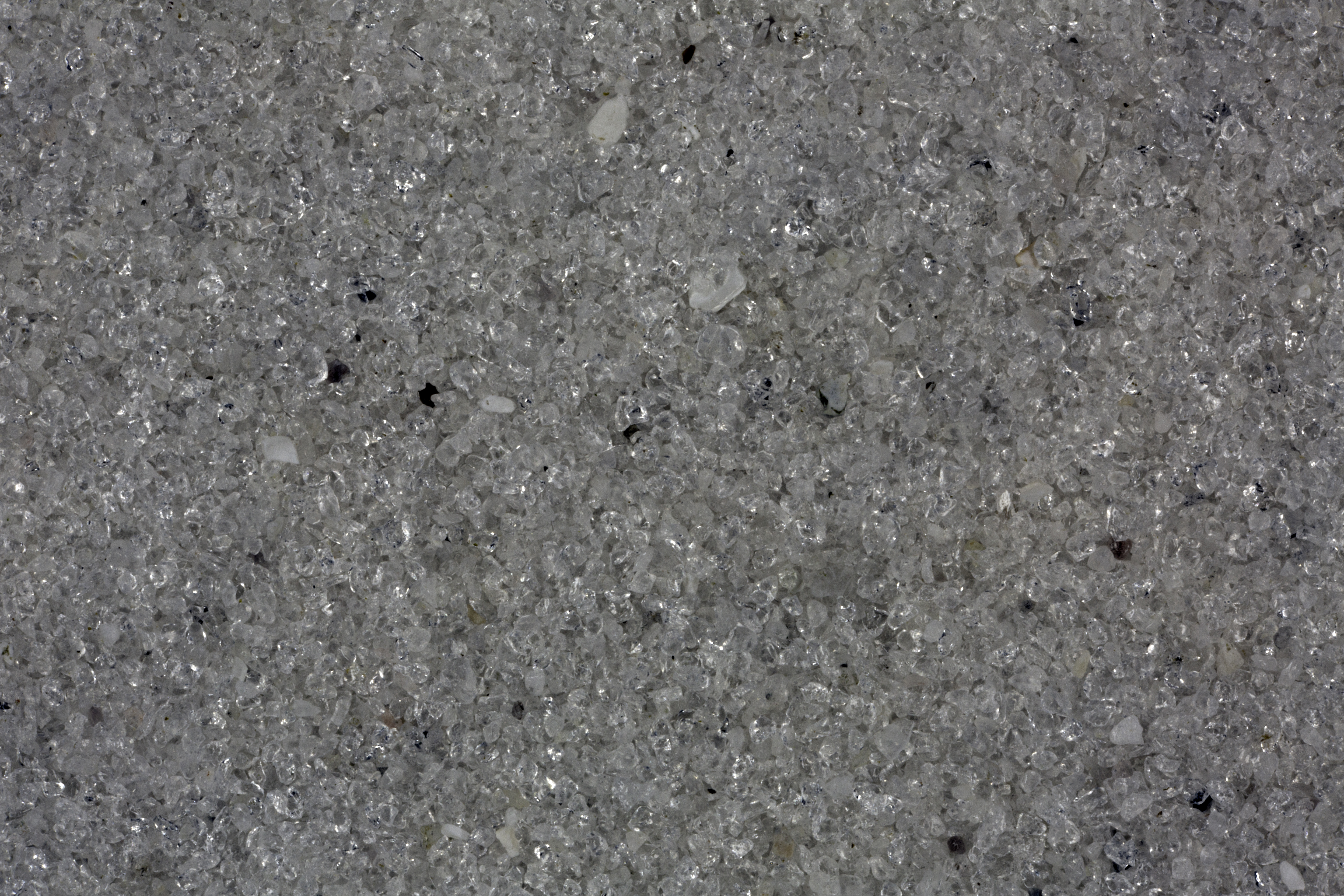
| Melbourne (2 Samples) 28.07N, 80.56W |
 |
|
| Sand Key, Clearwater 27.96N, 82.83W |
 |
|
| Lake Wales 27.90N, 81.58W |
 |
|
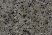
| St. Petersburg (3 Samples) 27.77N, 82.64W |
 |
|
| Siesta Key, Sarasota 27.28N, 82.55W |
 |
|
| Bathtub Reef, Stuart 27.18N, 80.16W |
 |
|
| Venice (2 Samples) 27.10N, 82.43W |
 |
|
| Jupiter 27.00N, 80.00W |
 |
|
| Grove City (2 Samples) 26.91N, 82.33W |
 |
|
| Palm Beach 26.72N, 80.04W |
 |
|
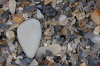
| Captiva Island (2 Samples) 26.52N, 82.19W |
 |
|
| Sanibel Island 26.44N, 82.08W |
 |
|
| Pompano Beach 26.23N, 80.13W |
 |
|
| Port au Villa Beach, Naples 26.15N, 81.80W |
 |
|
| Dania Beach (3 Samples) 26.06N, 80.15W |
 |
|
| Hallendale 25.99N, 86.12W |
 |
|
| Marco Island Beachs (2 Samples) 25.97N, 81.73W |
 |
|
| Miami Beach 25.81N, 80.13W |
 |
|
| Hobie Island Beach Park 25.75N, 80.18W |
 |
|
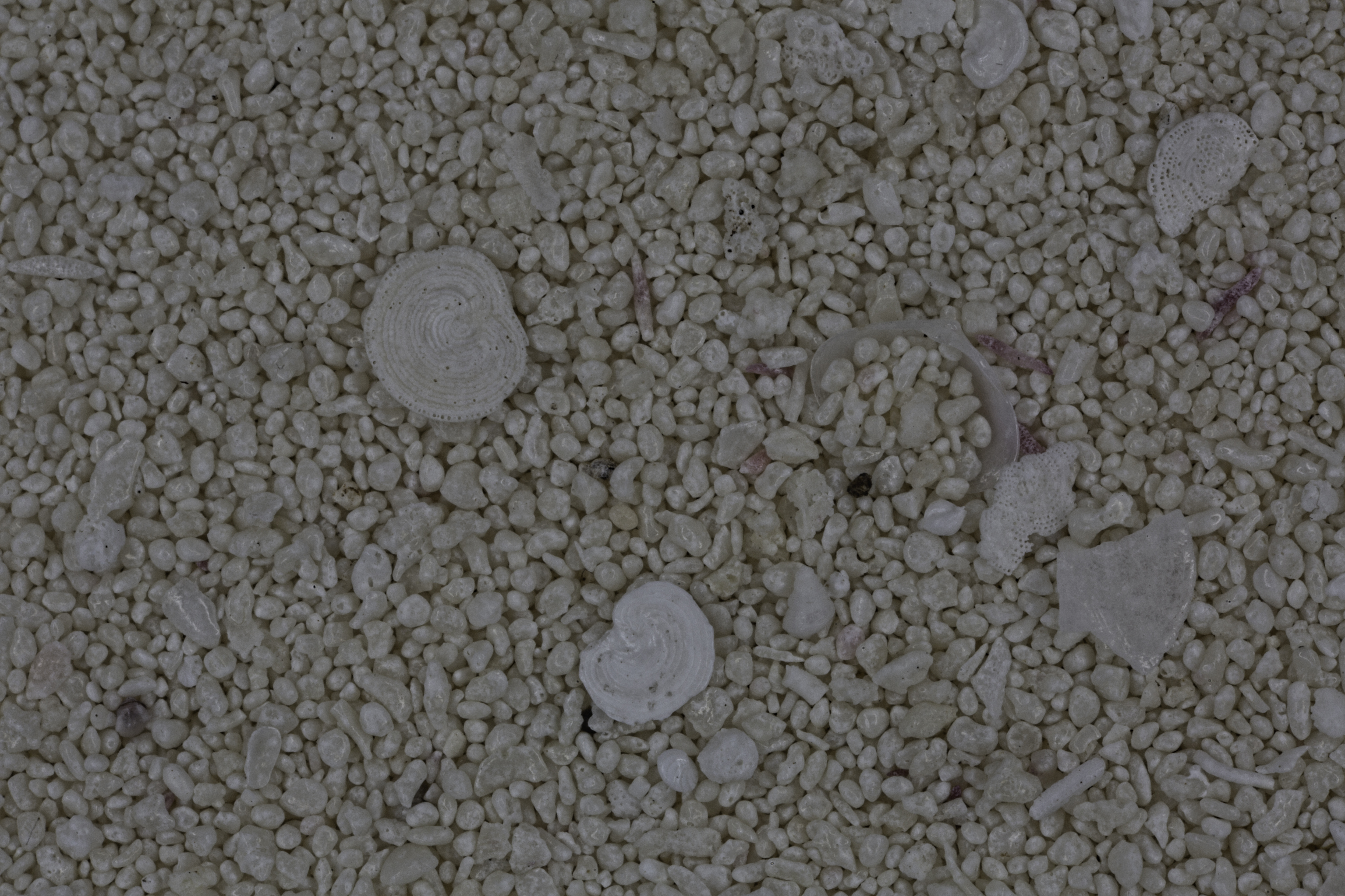
| John Pennekamp Coral Reef State Park 25.12N, 80.41W |
 |
|
| Big Pine Key 24.69N, 81.36W |
 |
|
| Garden Key, Dry Tortugas N. Pk. 24.63N, 82.87W |
 |
|
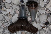
| Key West (2 Samples) 24.56N, 81.78W |
 |
|
| |
|
|
| |
|
|
| |
|
|
| |
|
|
| |
|
|
|