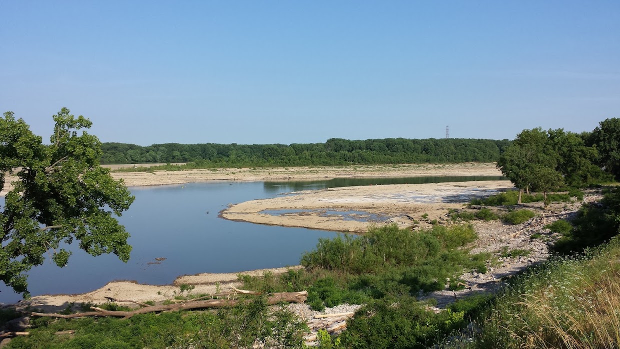
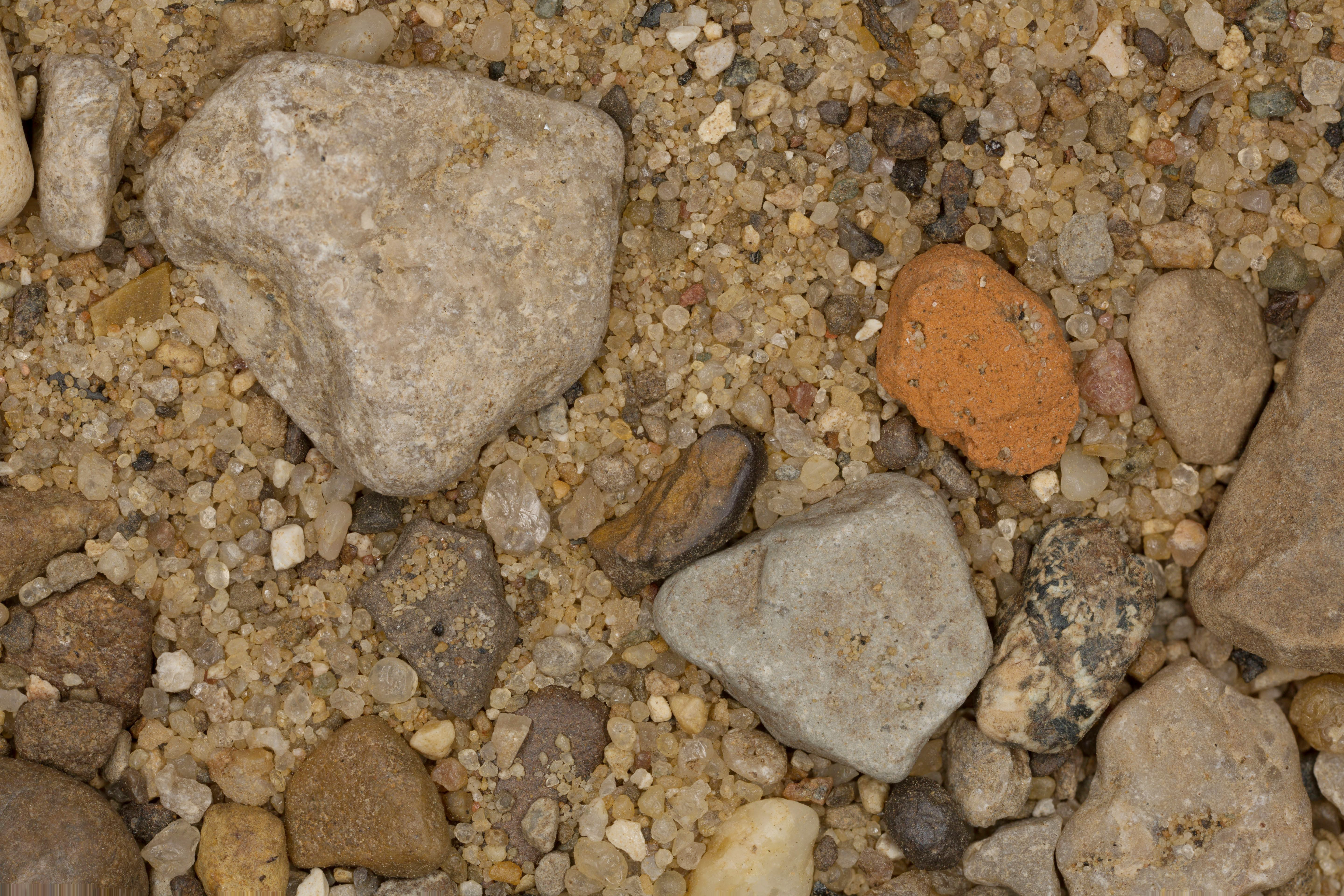
The area is located at the Falls of the Ohio, which was the only navigational barrier on the river in earlier times. The falls were a series of rapids formed by the relatively recent erosion of the Ohio River operating on 386 million-year-old Devonian hard limestone rock shelves. Louisville, Kentucky, and the associated Indiana communities—Jeffersonville, Clarksville, and New Albany—all owe their existence as communities to the falls, as the navigational obstacles the falls presented meant that late 18th-century and early- to late-19th-century river traffic could benefit from local expertise in navigating the 26-foot (7.9 m) drop made by the river over a distance of two miles (3 km). In its original form, the falls could be characterized more as rapids extending over a length of the river, than as a point-like discontinuity in a river such as Niagara Falls. Still, the falls provided a singular, dramatic and daunting obstacle to navigation on this important inland waterway. - Wikipedia |
