CLICK ON THE MAP TO GO TO THE USGS SITE |
LOCATION |
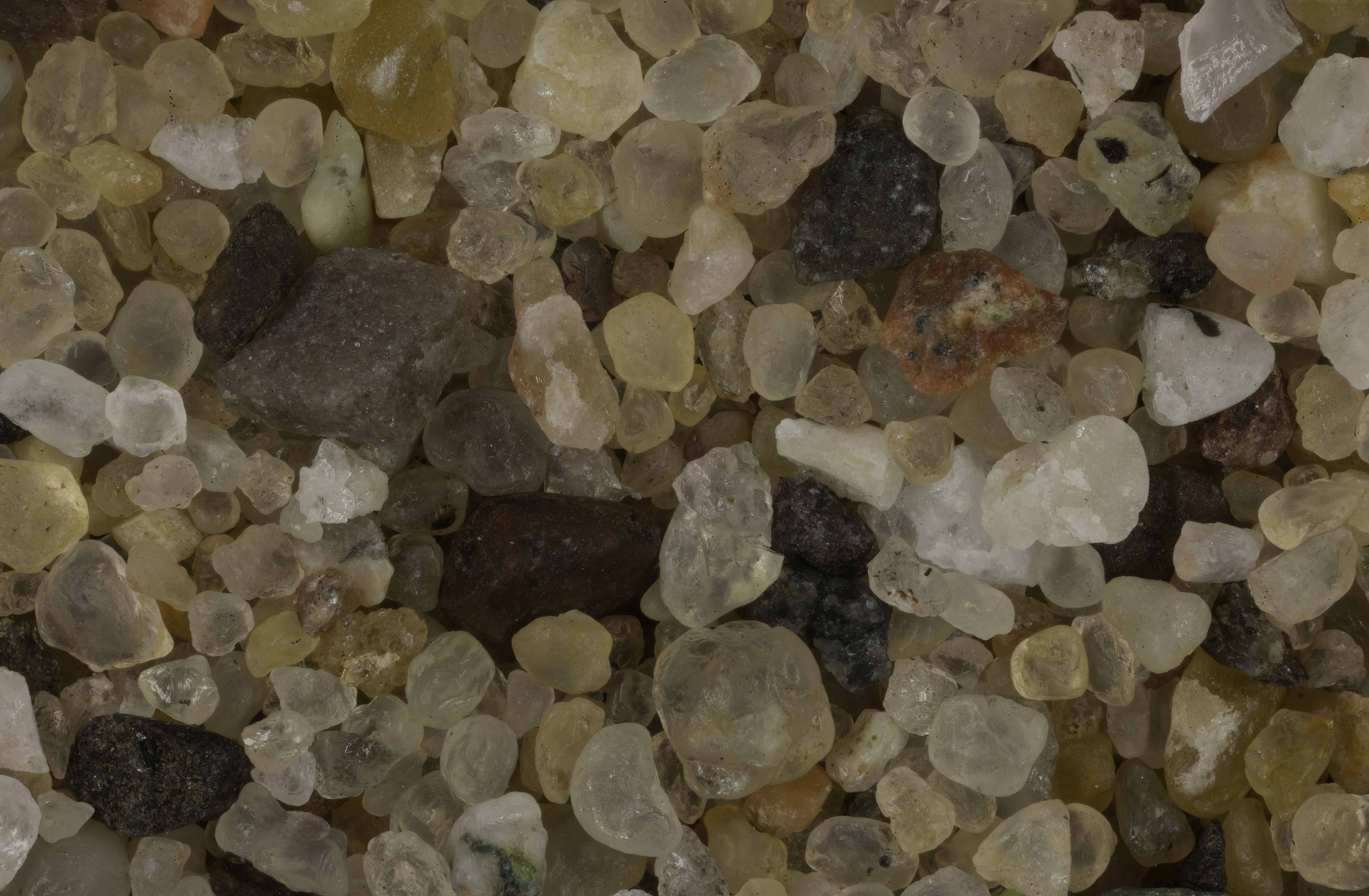
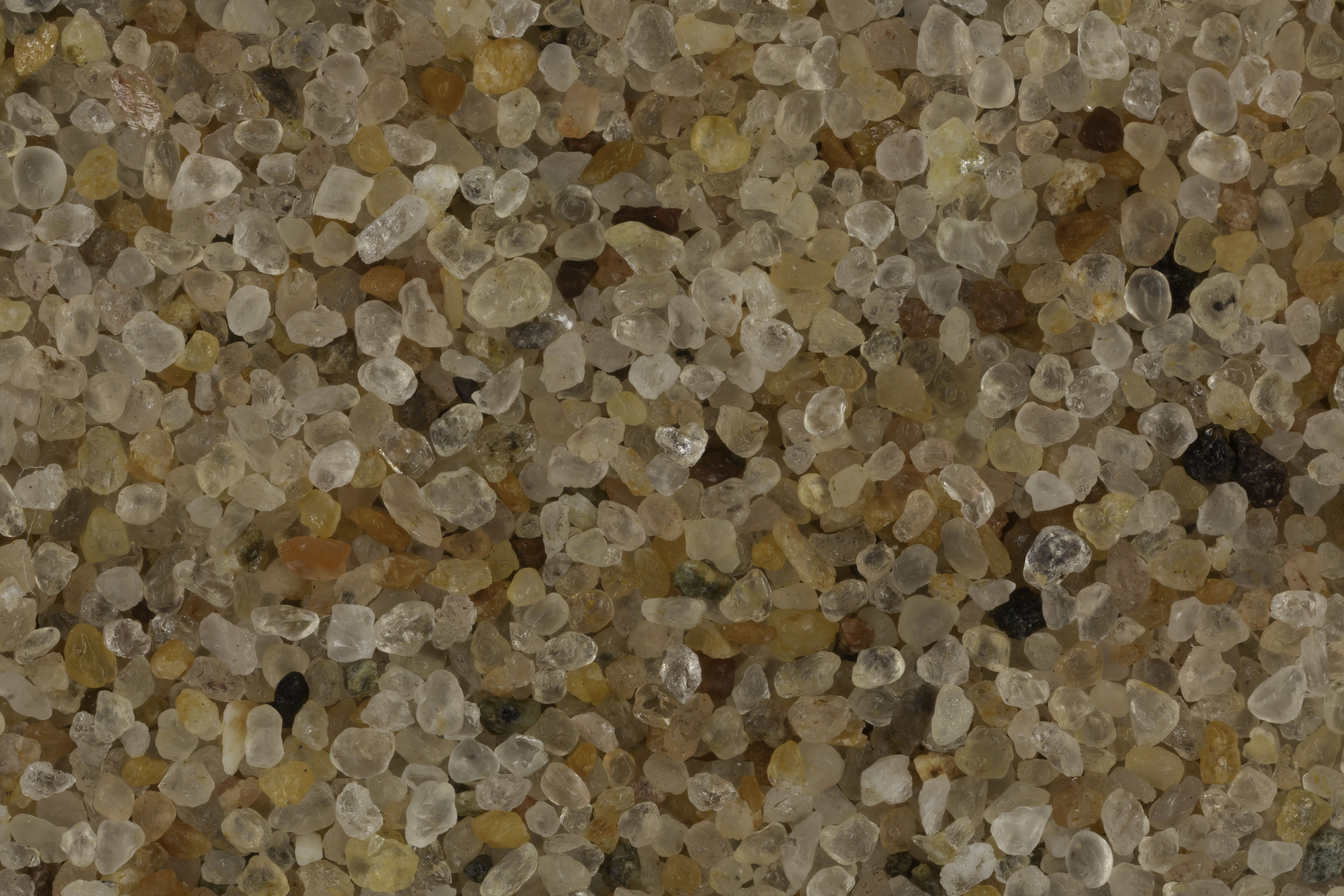
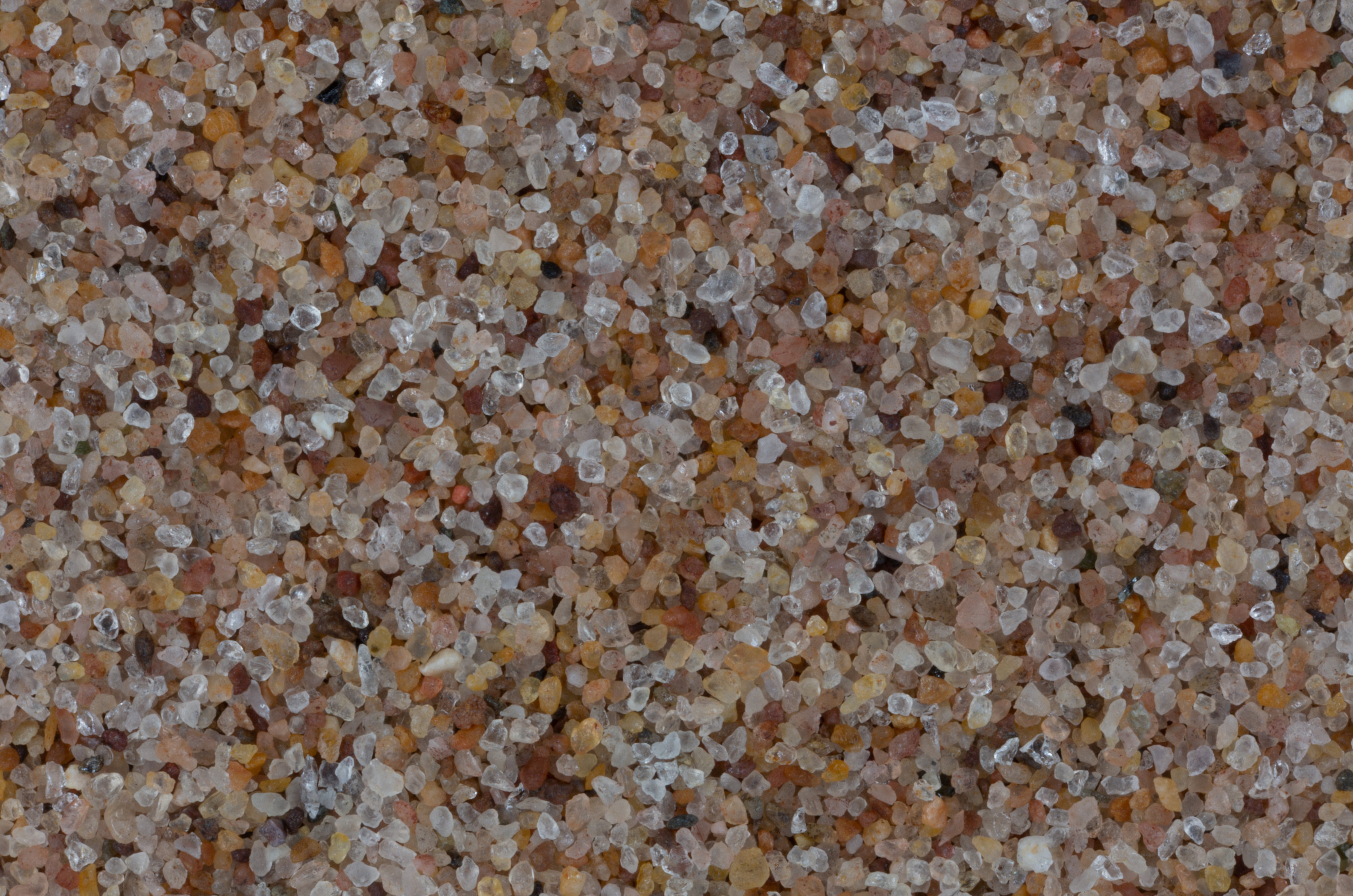
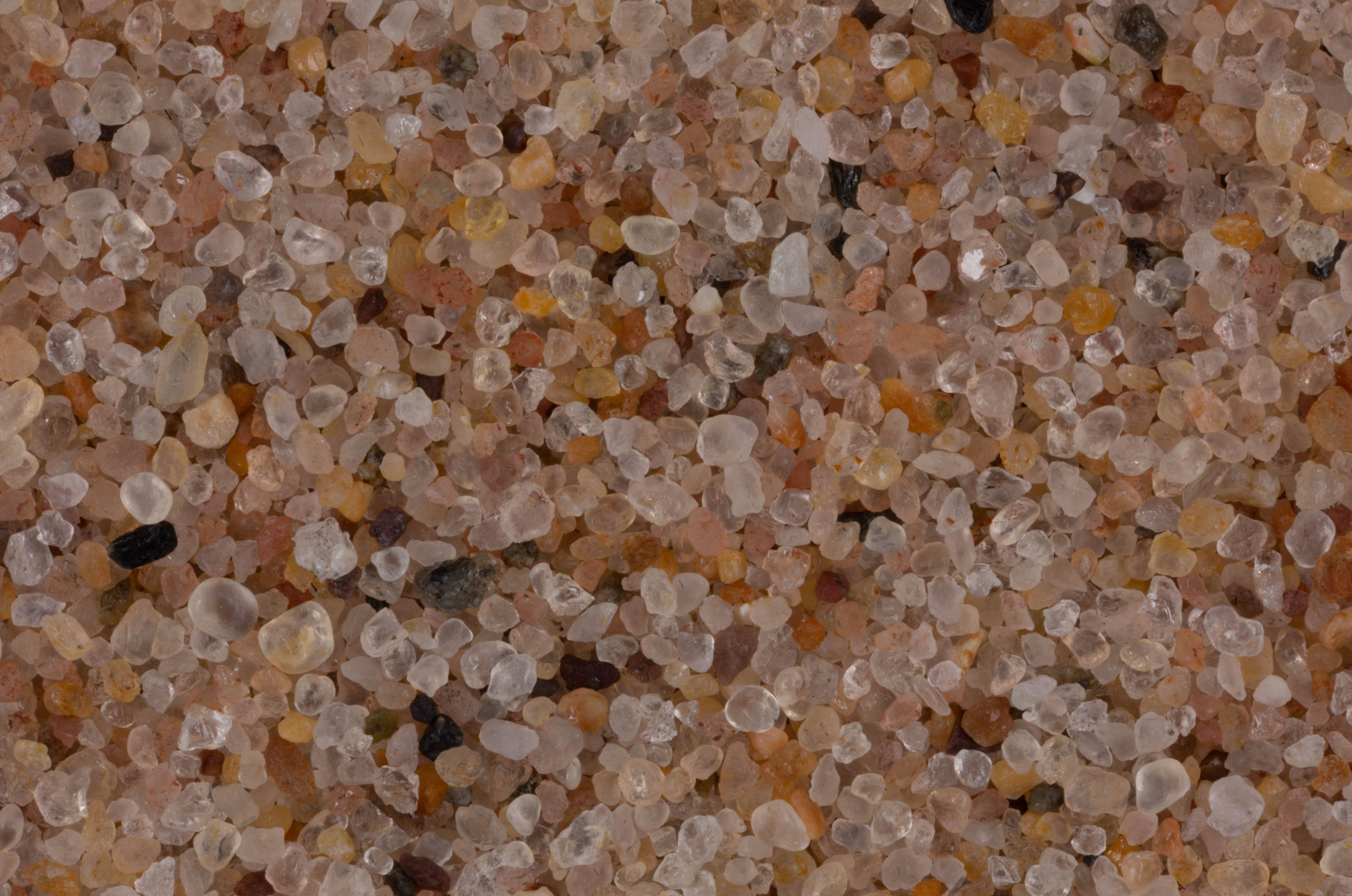
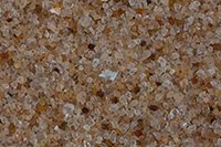
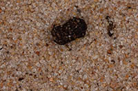
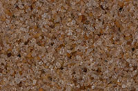
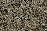
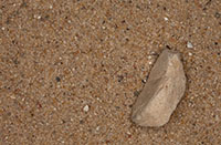
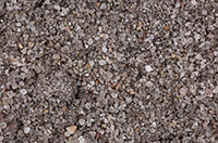
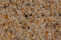
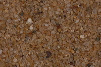
CLICK ON IMAGE FOR HIGH RES. |
|
|
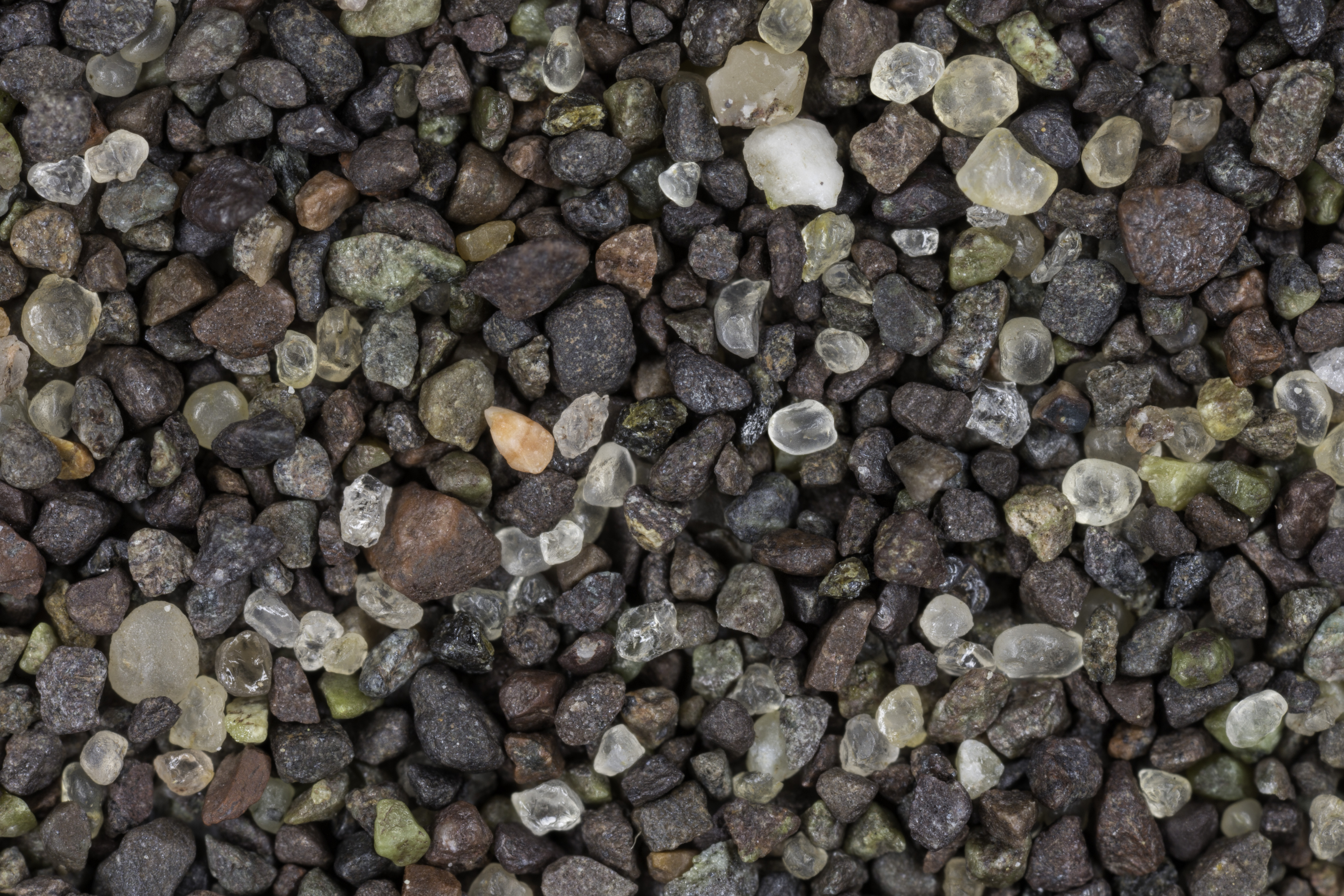
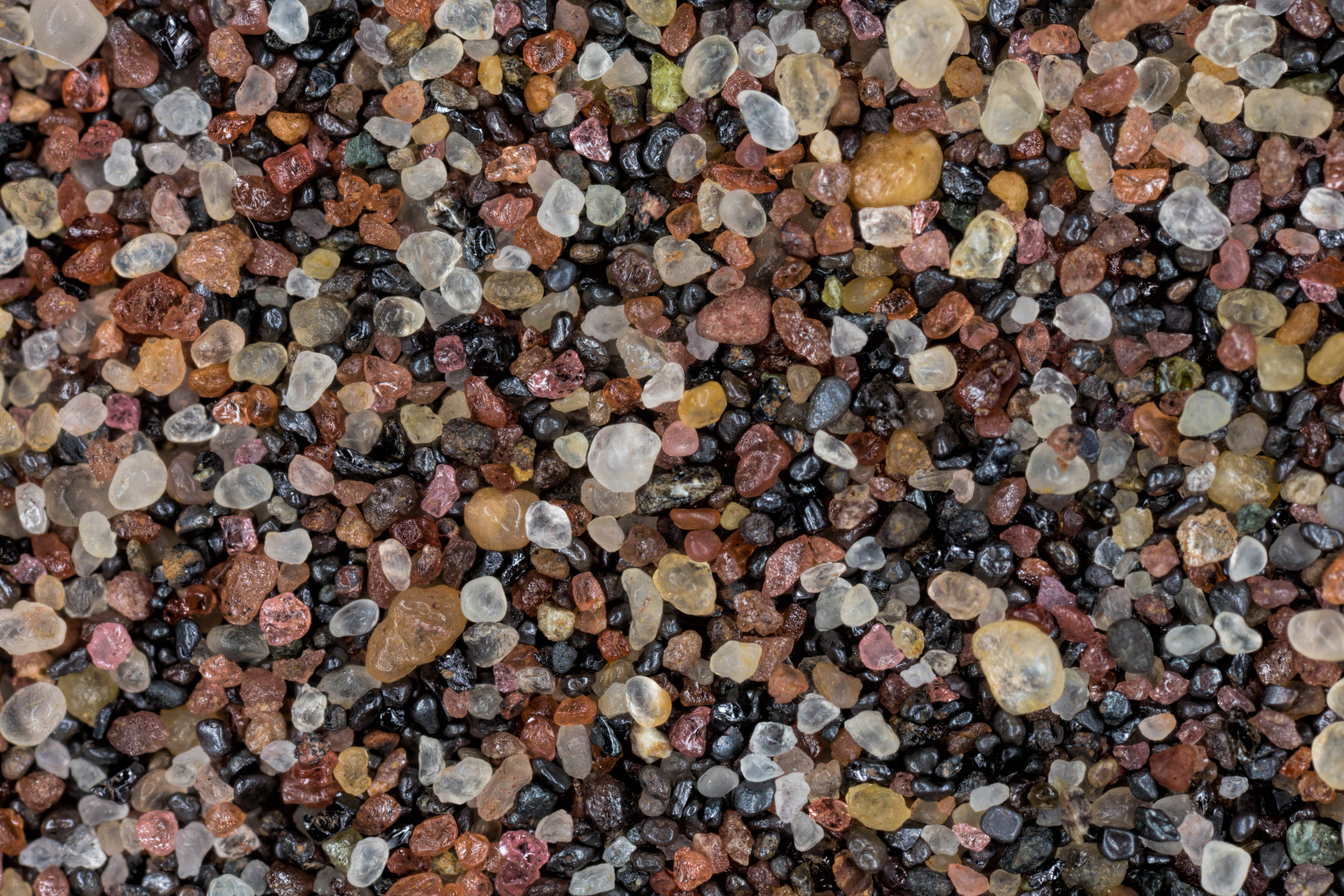
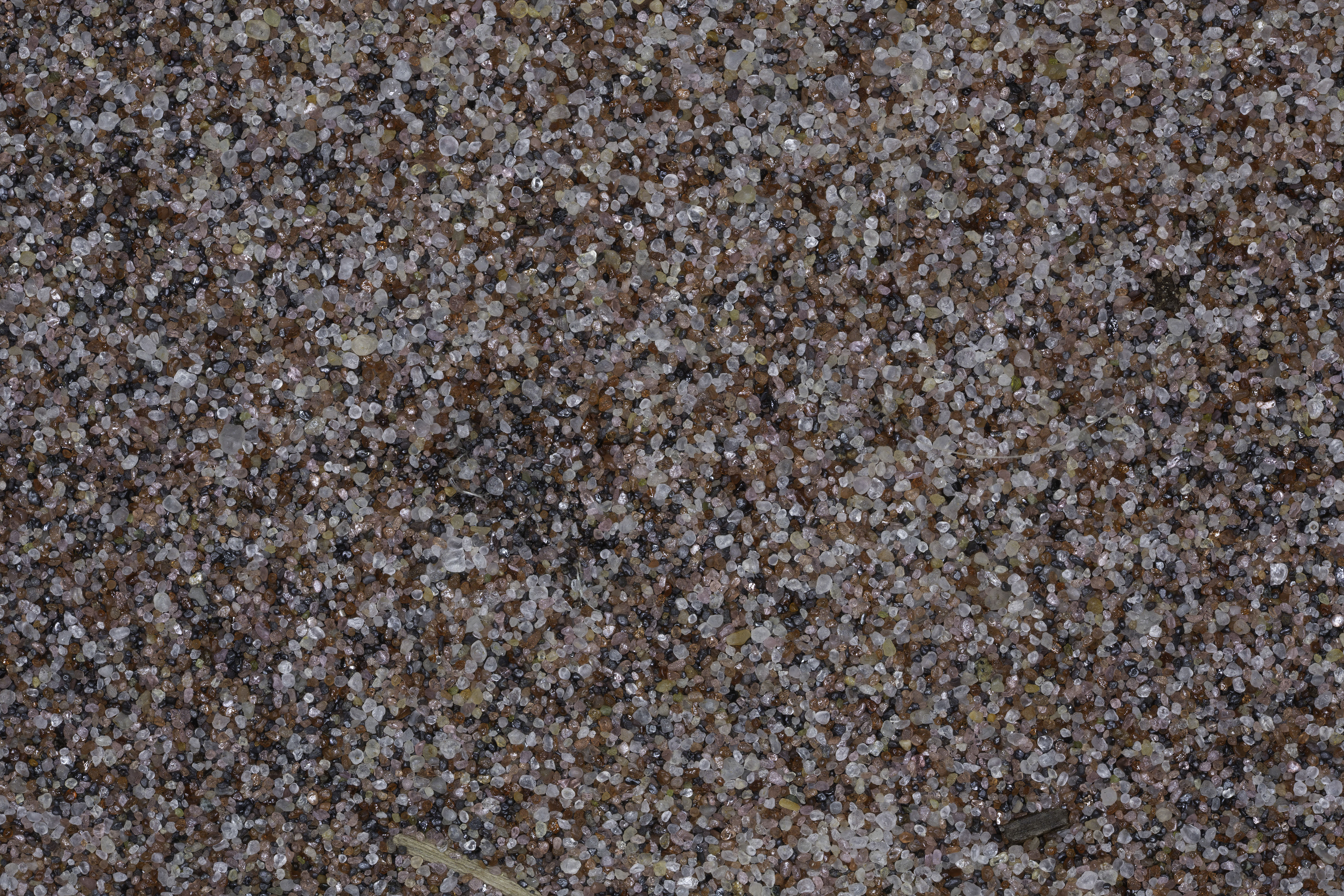
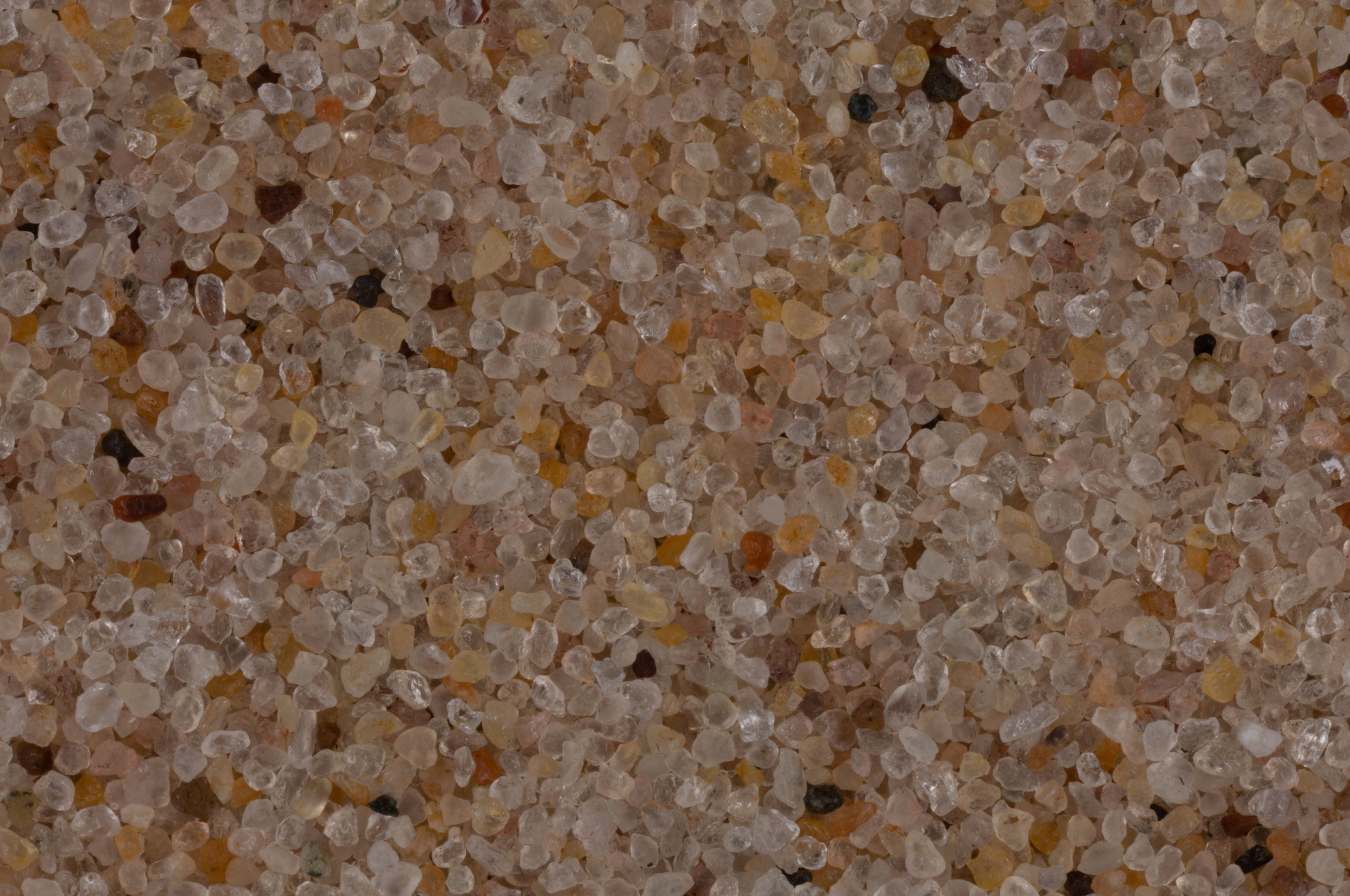
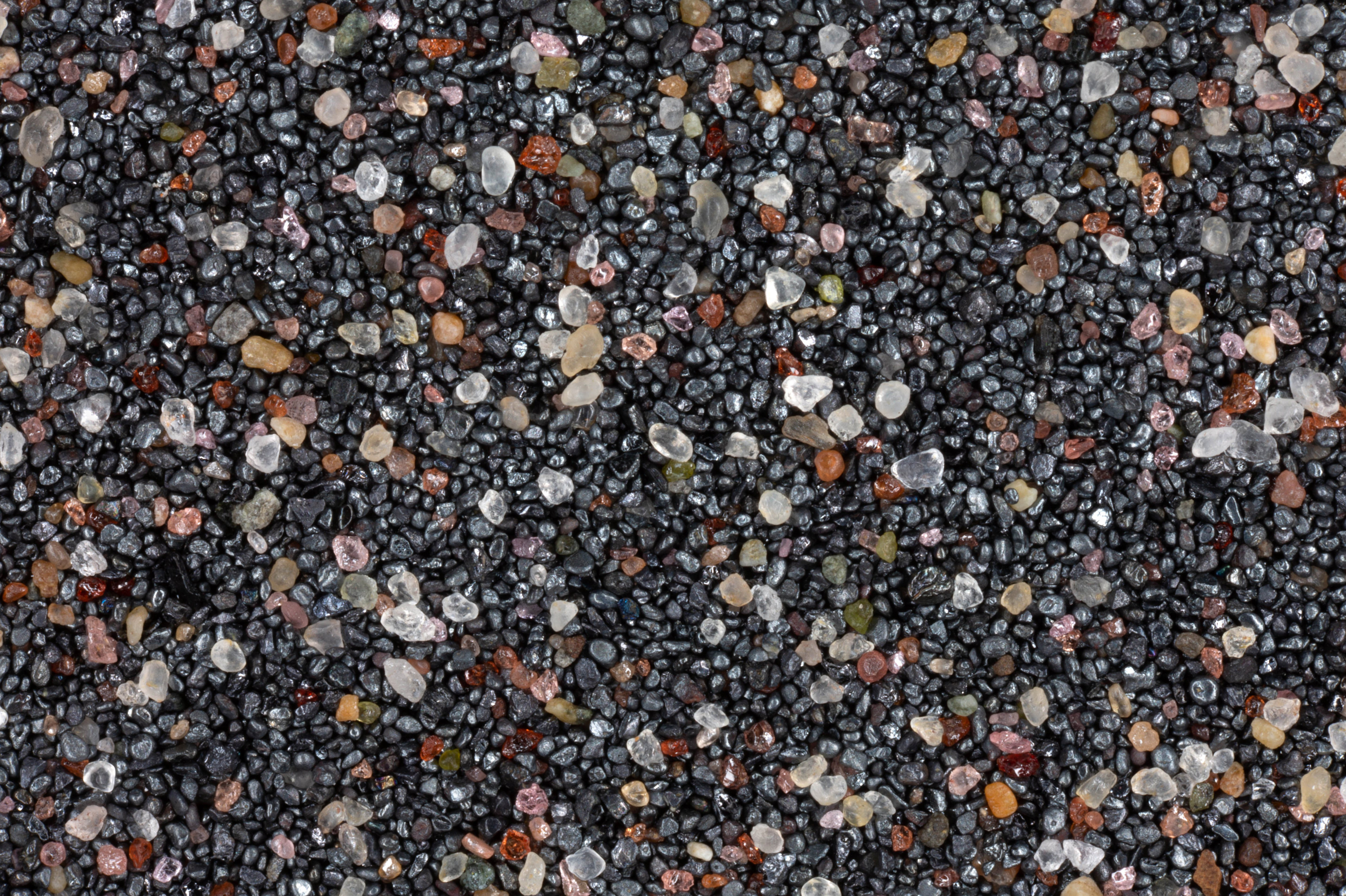
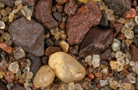
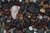
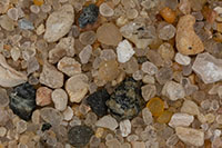
| Fanny Hooe Creek, Copper Harbor 47.47N, 87.89W |
 |
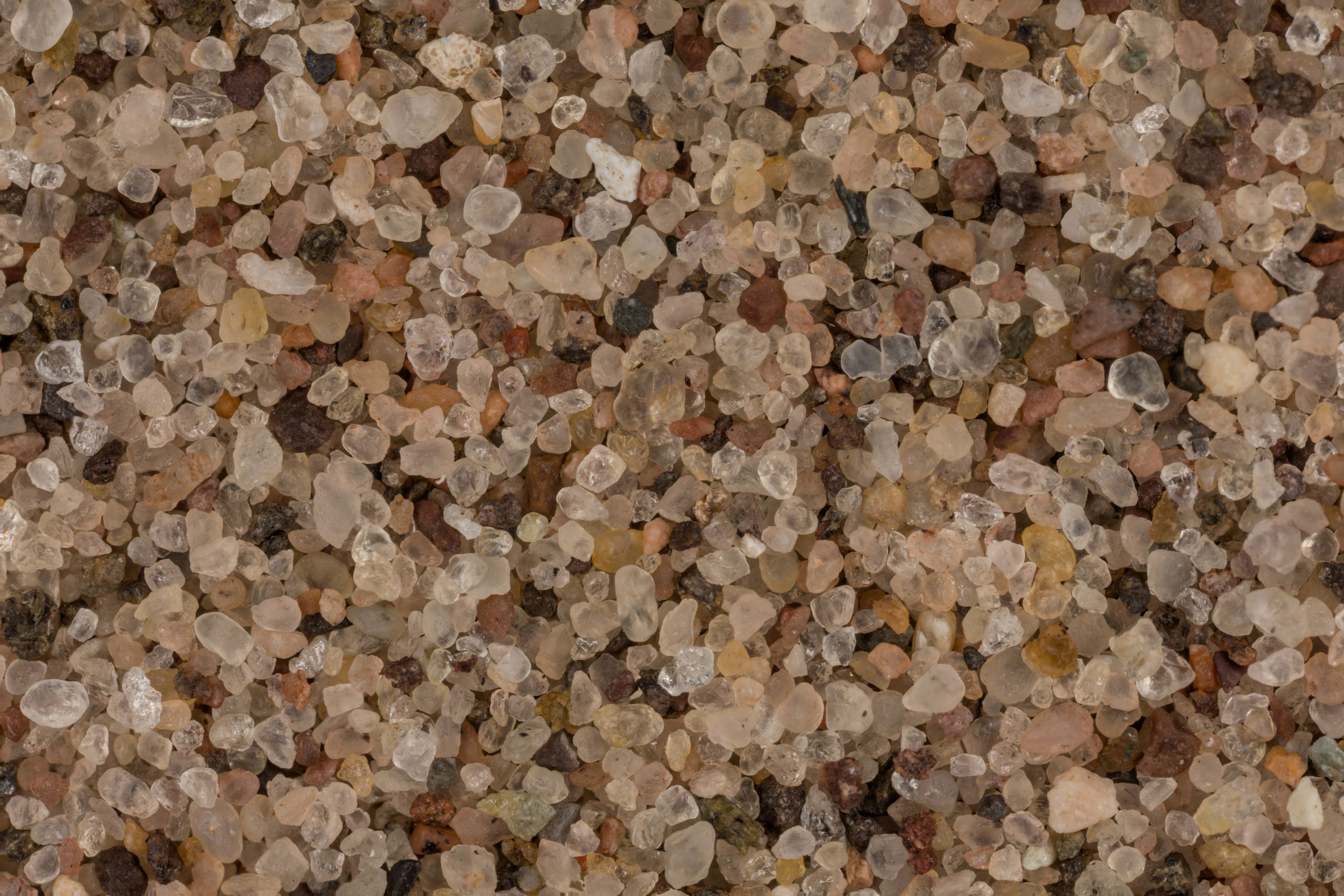
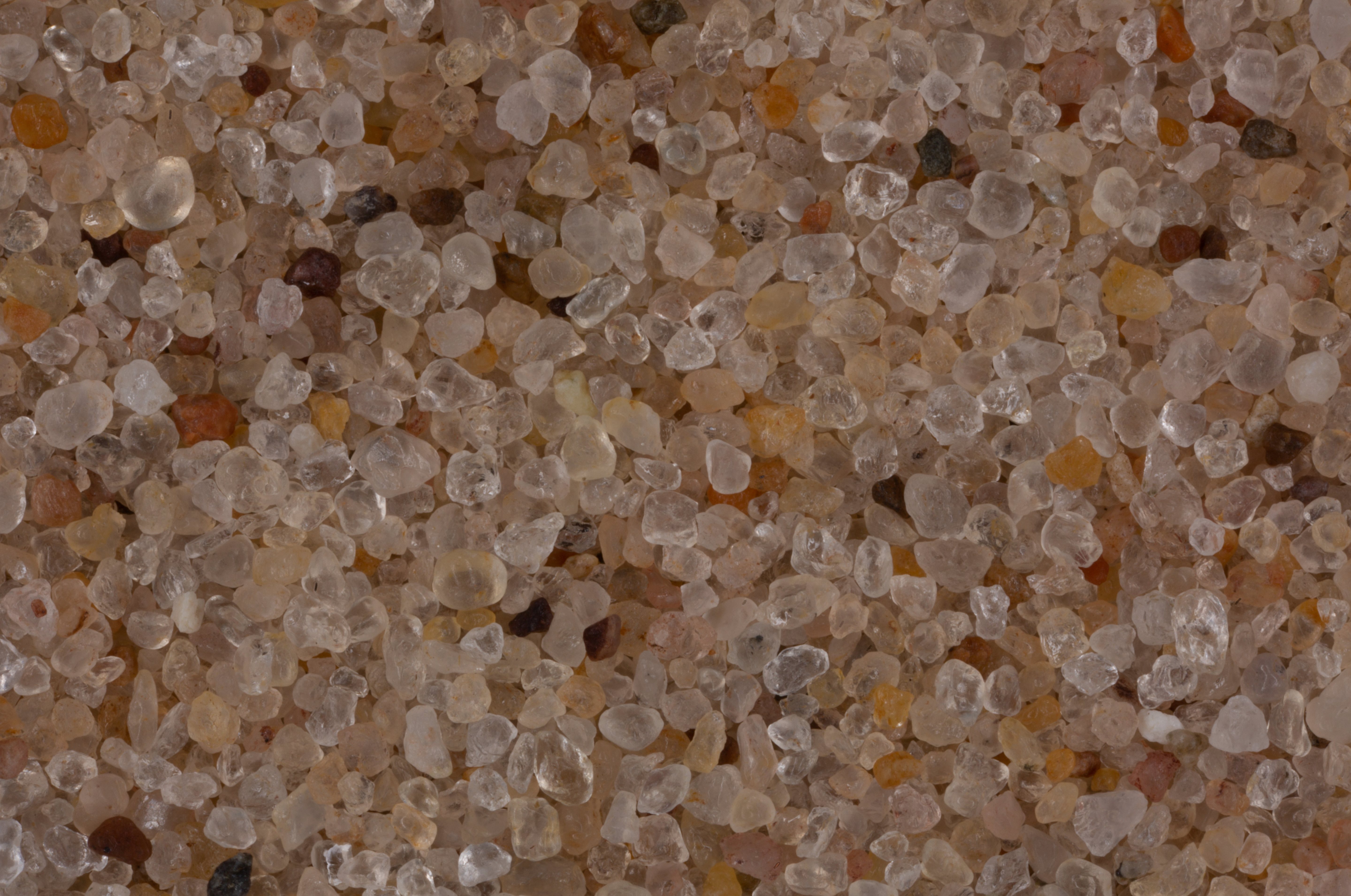
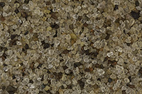
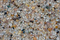
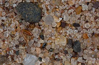
| Eagle Harbor 47.45N, 88.15W |
 |
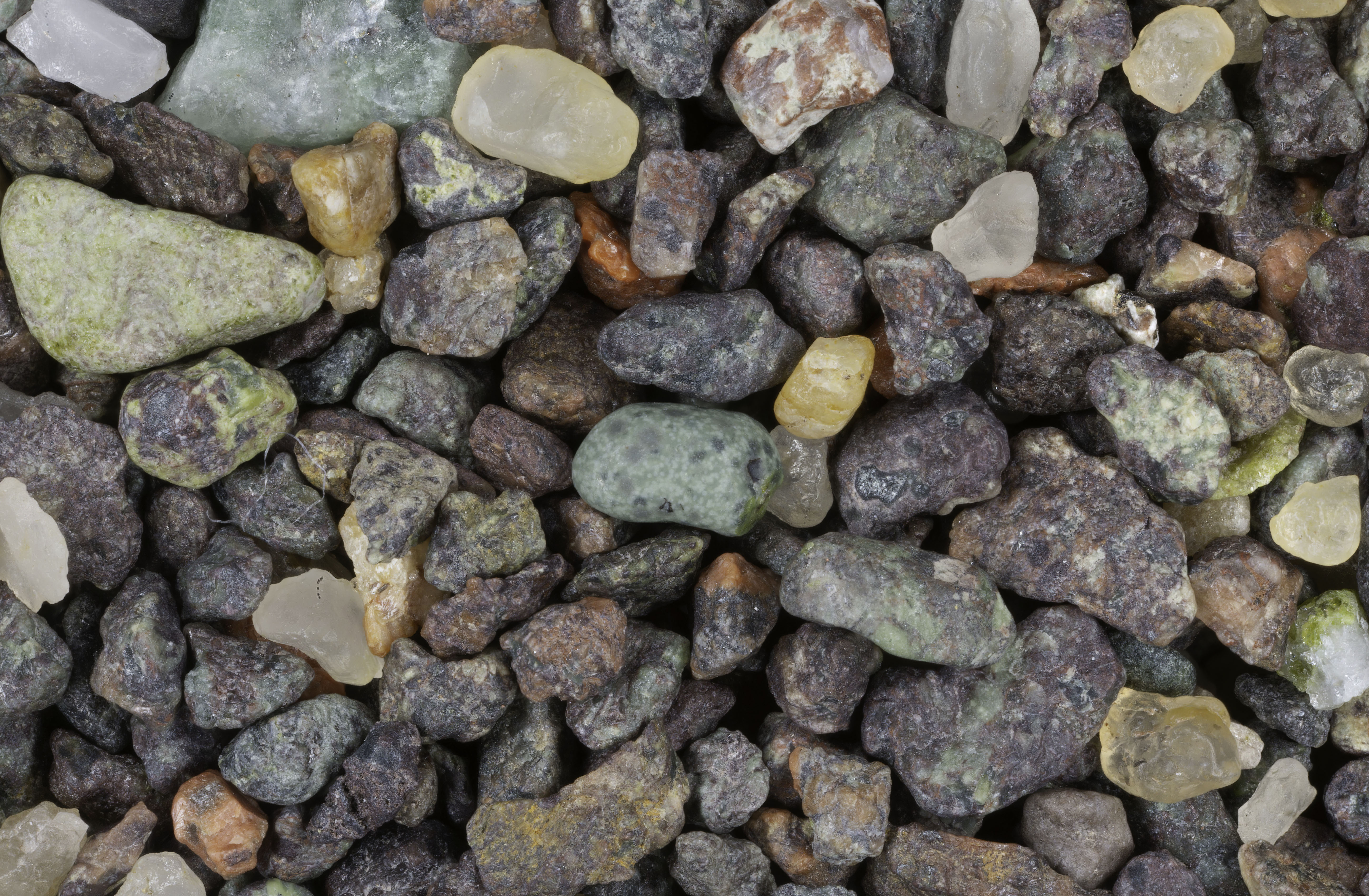
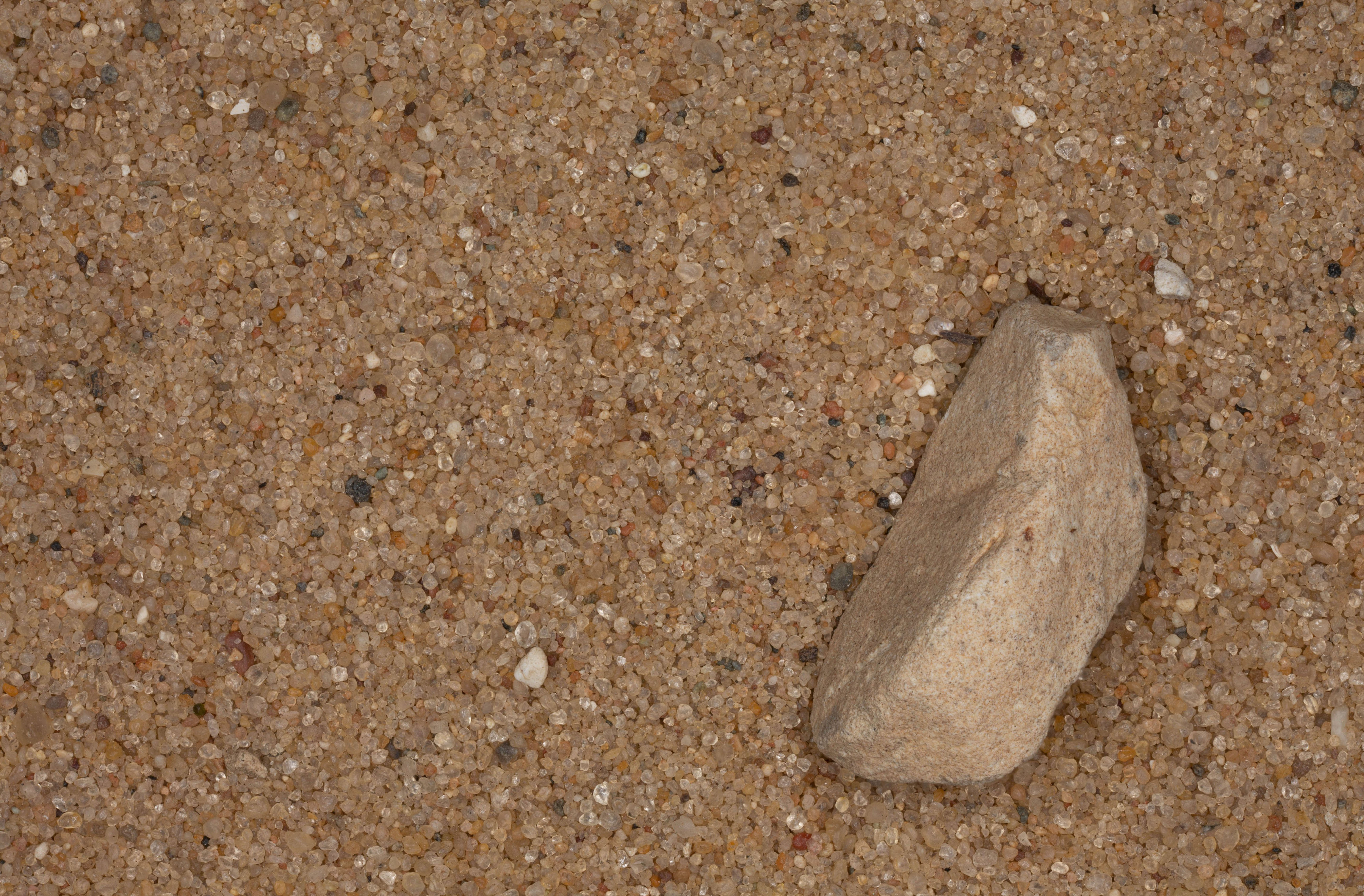
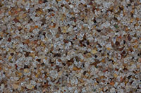
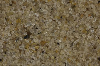
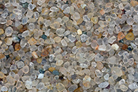
| Cat Harbor 47.45N, 88.20W |
 |
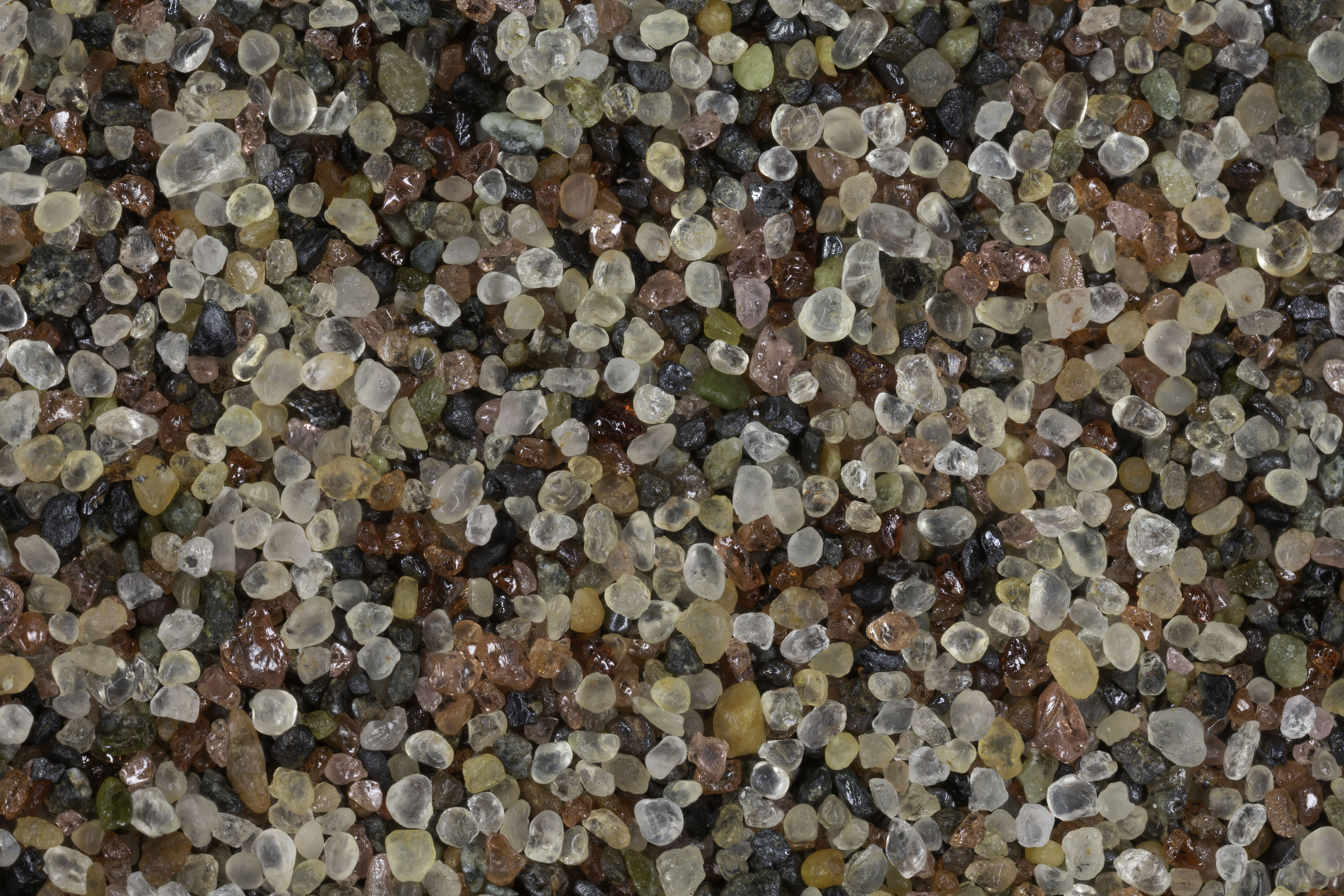
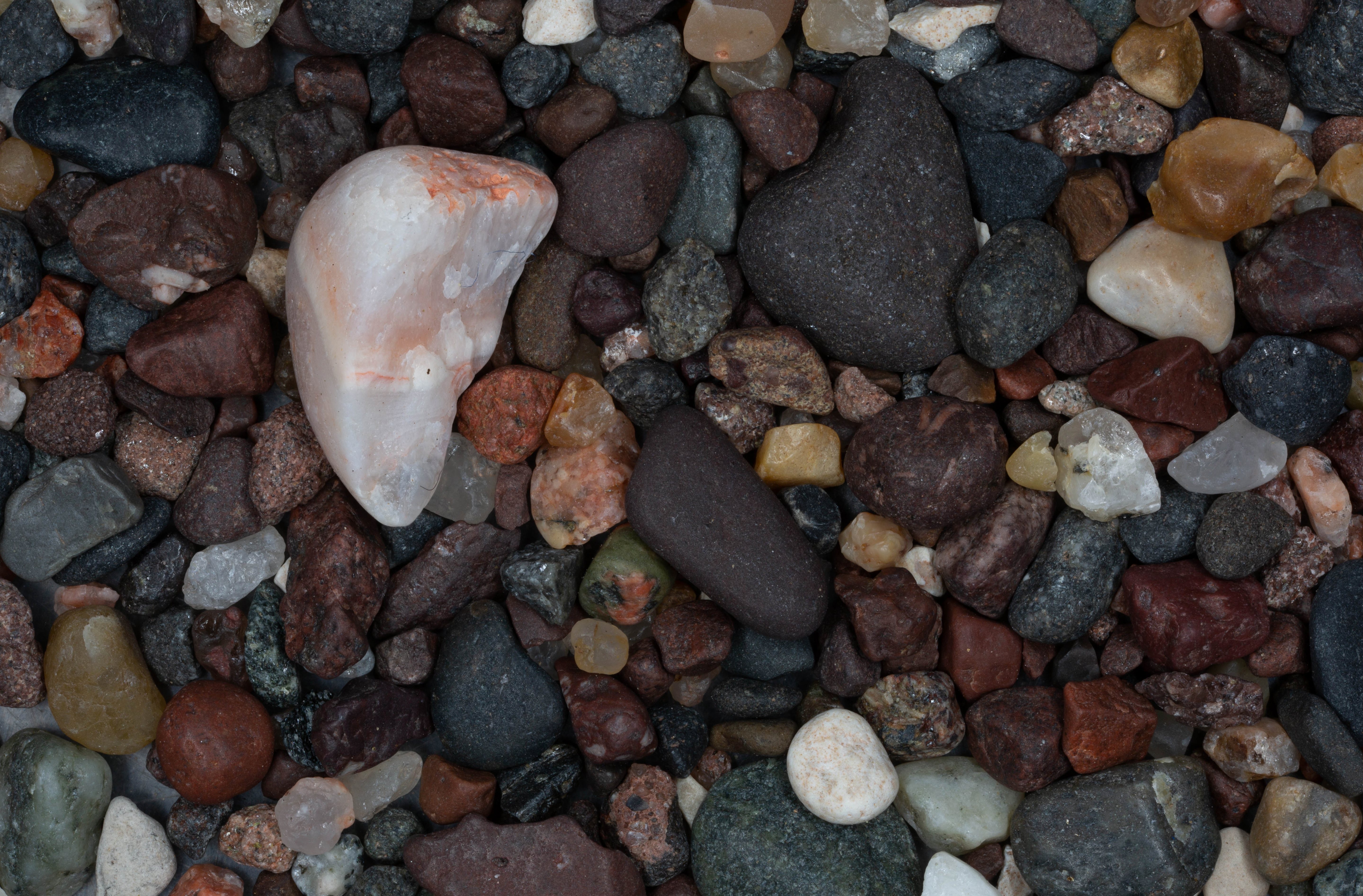
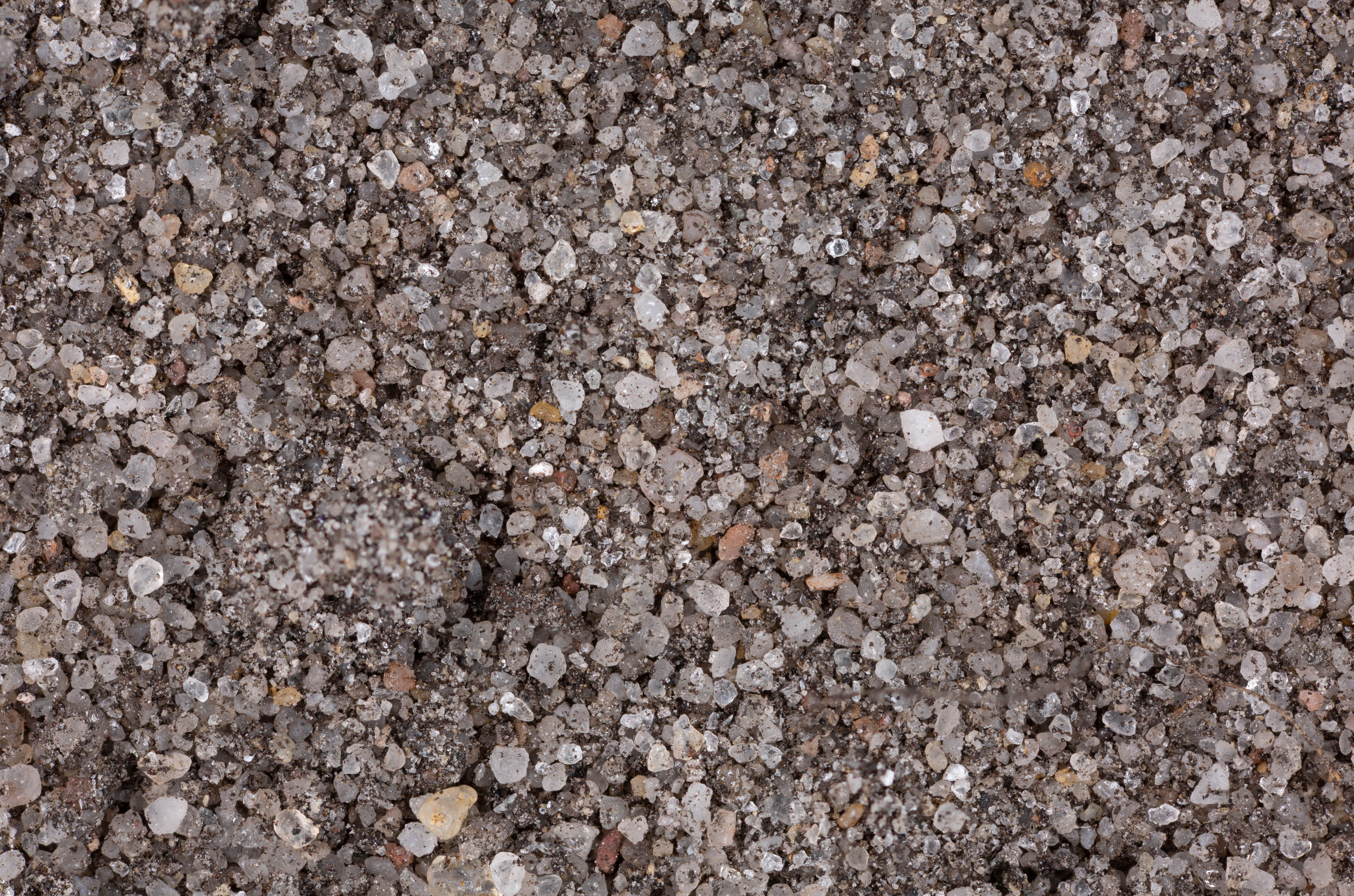
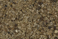
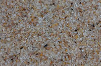
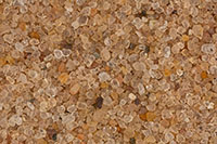
| Great Sand Bay 47.45N, 88.22W |
 |
| Eagle River 47.41N, 88.30W |
 |
| Mary MacDonald Preserve, Two Harbors (2 Samples) 47.28N, 87.48W |
 |
| Tobacco River Park 47.23N, 88.15W |
 |
| Lake Lindon (2 Samples) 47.20N, 88.41W |
 |
| Houghton (2 Samples) 47.11N, 88.56W |
 |
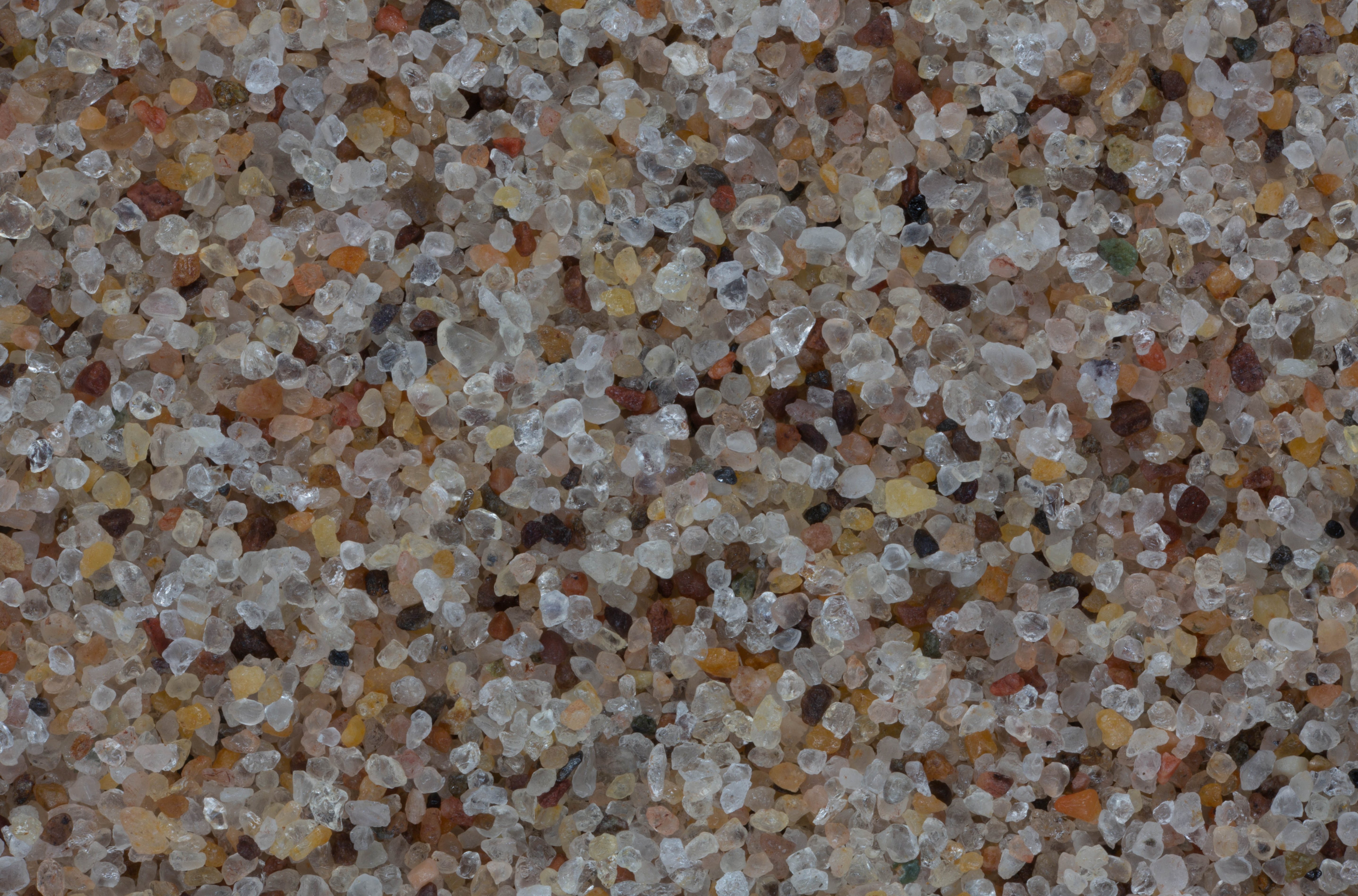
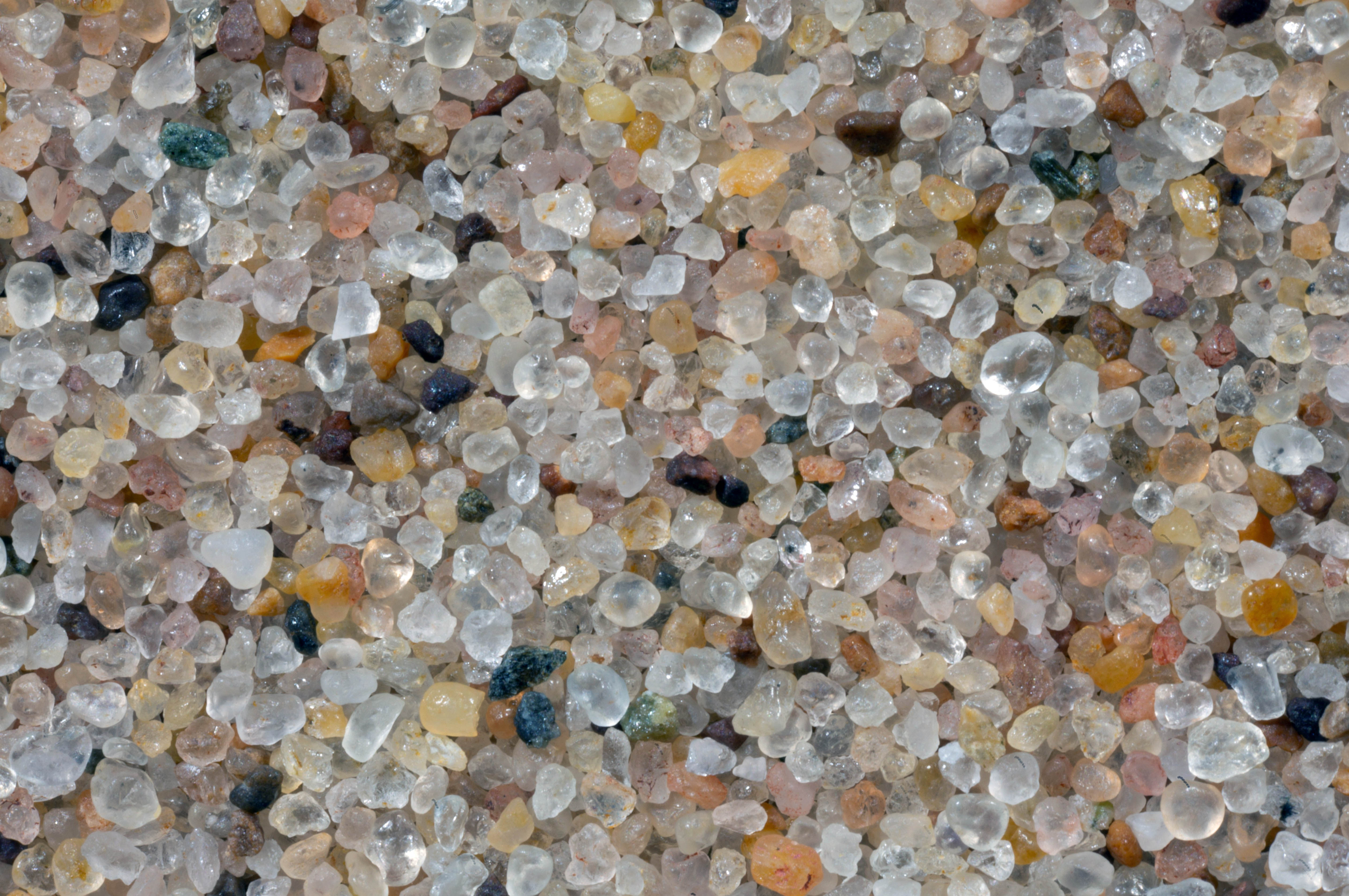
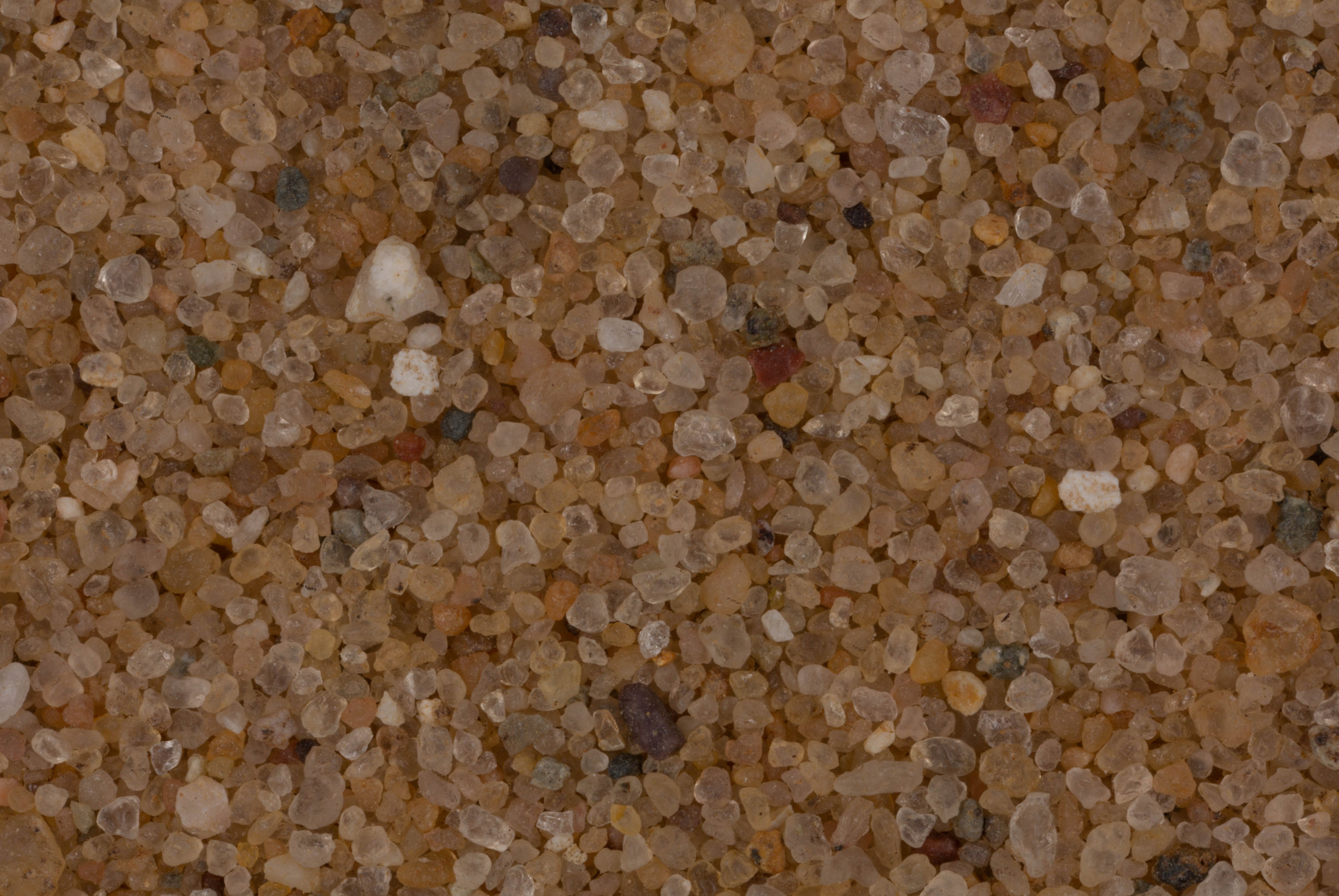
| Agate State Beach, Toivola 46.99N, 88.77W |
 |
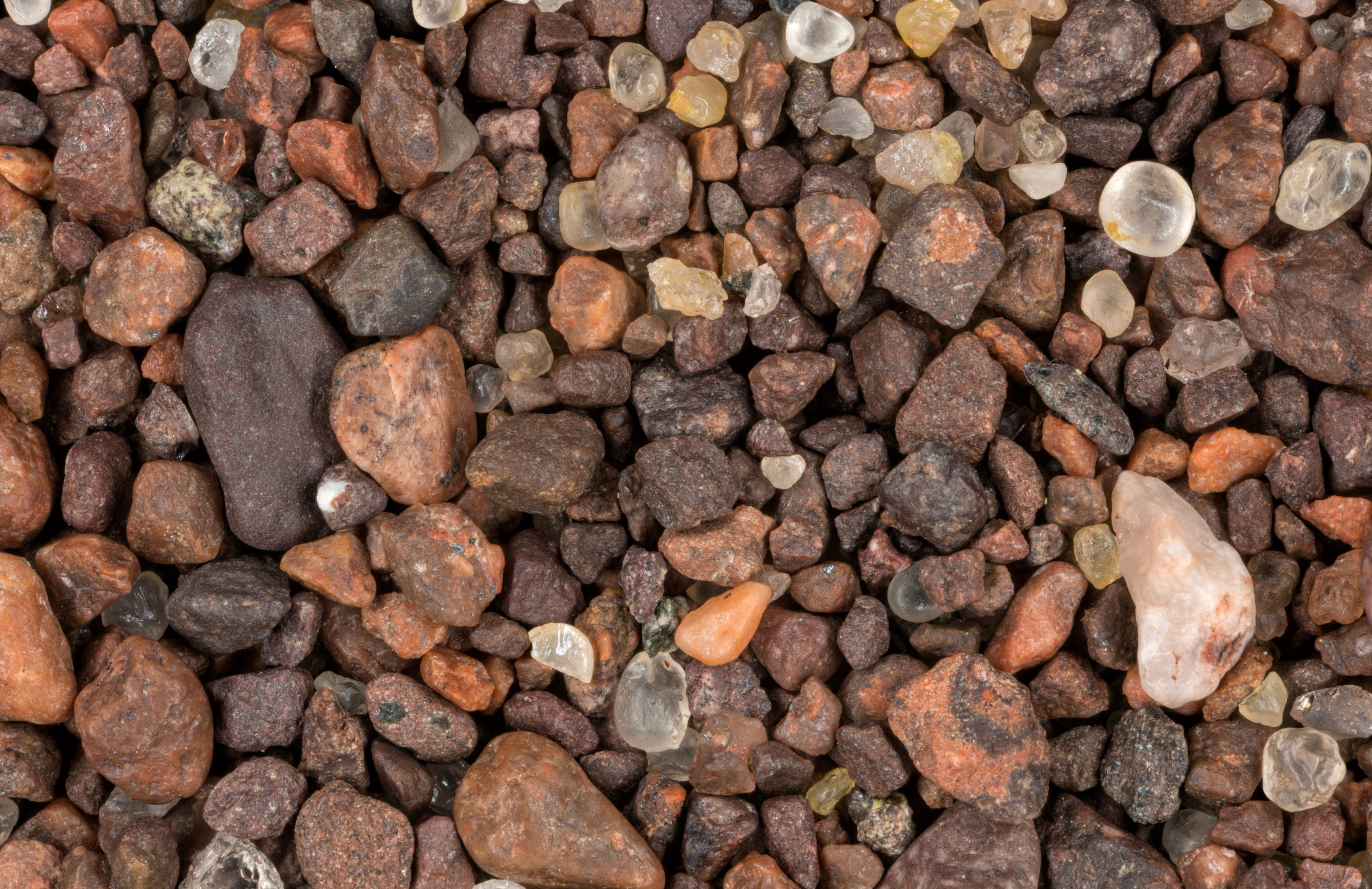
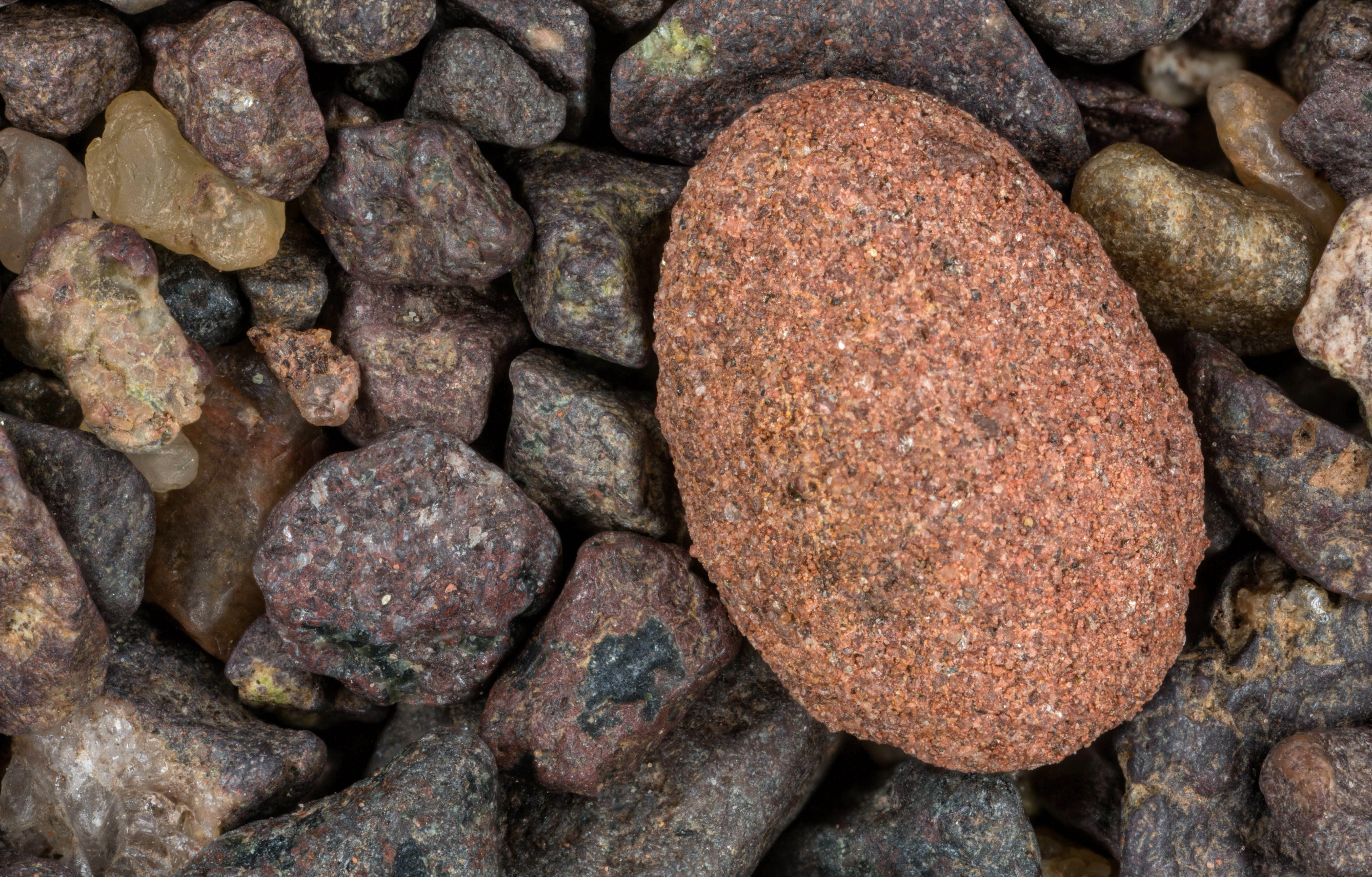
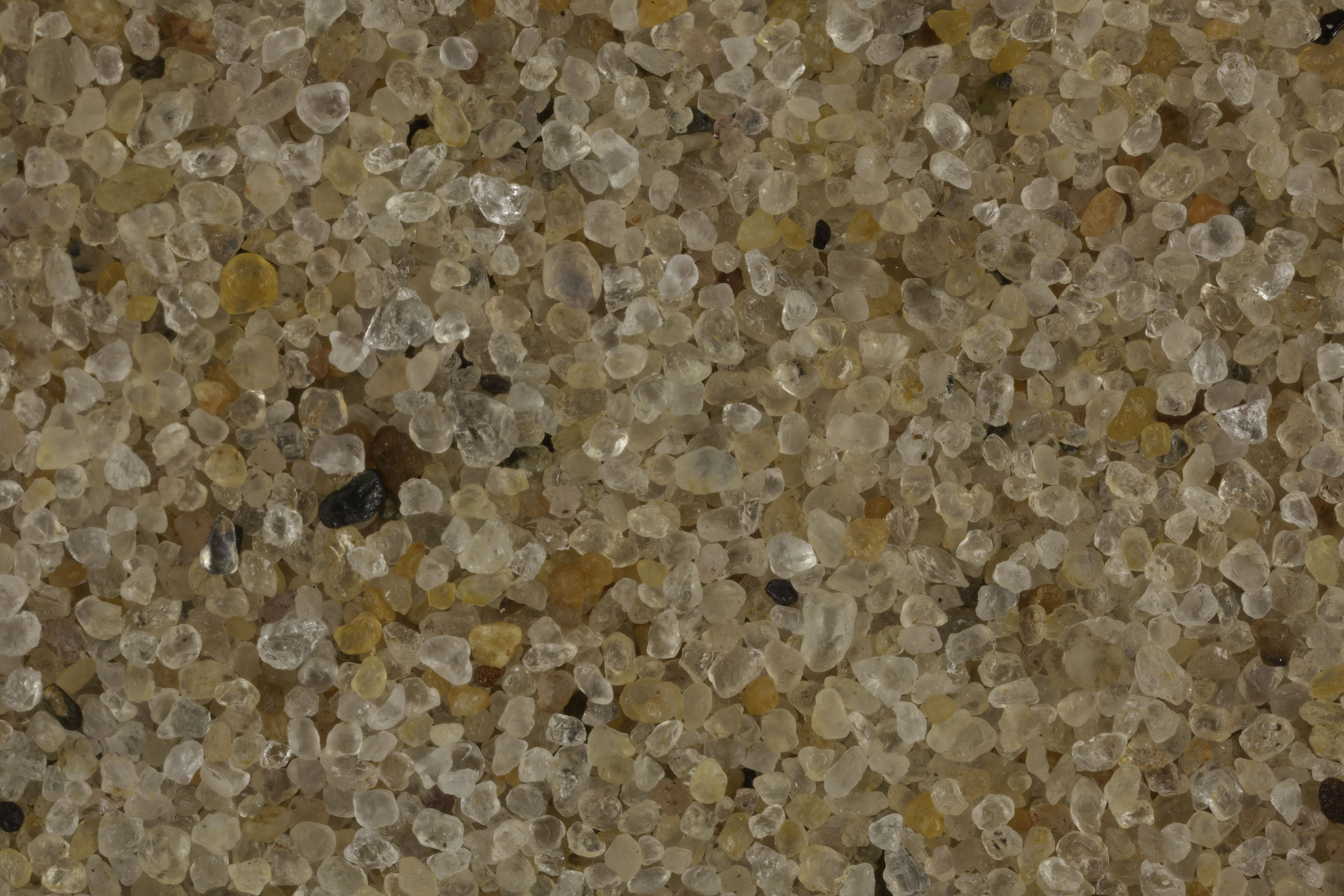
| Sand Point, Baraga 46.78N, 88.50W |
 |
| Whitefish Point 46.77N, 84.96W |
 |
| Michigan Dunes at Sable Creek (2 Samples) 46.67N, 86.00W |
 |
| Pictured RocksNational Lakeshore (2 Samples) 46.56N, 86.31W |
 |
| South Park Beach, Marquette 46.53N, 87.38W |
 |
| Au Train Bay, Au Train 46.45N, 86.85N |
 |
| Whitefish Bay 46.43N, 84.82W |
 |
| Little Girls Point County Park, Ironwood 46.36N, 90.20W |
 |
| Shelter Bay 46.33N, 86.87W |
 |
| Brevort 46.05N, 84.84W |
 |
| Biddle Point 46.05N, 85.28W |
 |
| Manistique Beach 45.95N, 86.25W |
 |
| Pointe Aux Chenes (2 Samples) 45.93N, 85.94W |
 |
| Bay de Noc 45.88N, 86.50W |
 |
| Indian Lake State Park, Manistique 45.85N, 86.33W |
 |
| Mackinac Bridge (3 Samples) 45.79N, 84.73W |
 |
| Escanaba 45.74N, 87.00W |
 |
| Douglas Lake 45.55, 84.66W |
 |
| Sleeping Bear Dunes National Lakeshore 44.85N, 86.05W |
 |
| Grayling, Michigan 44.72N, 84.70W |
 |
| Lake Michigan 44N, 87W |
 |
| Ludington State Park 43.96N, 86.44W |
 |
| Stearns Park, Ludington 43.96N, 86.45W |
 |
| Sanford Lake 43.70N, 84.38W |
 |
| Sanilac Petroglyph State Park 43.66N, 83.02W |
 |
| Lake Michigan, Holland 42.79N, 86.11W |
 |
| Magnetite Rich Sand, Glenn 42.52N, 86.23W |
 |
| Benton Harbor 42.17N, 86.30W |
 |
|