 |
 |
 |
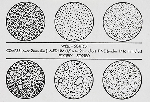
GRAIN DISTRIBUTION CHARACTERISTICS (AGI CHART) |
International Space Station 400mm Photograph Image credit: Image Science and Analysis Laboratory, NASA Johnson Space Center |
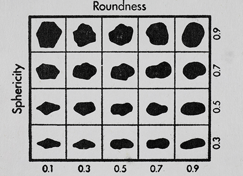
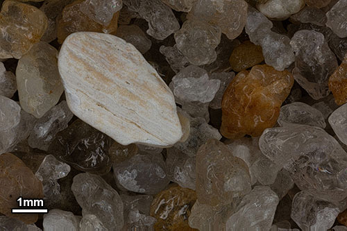
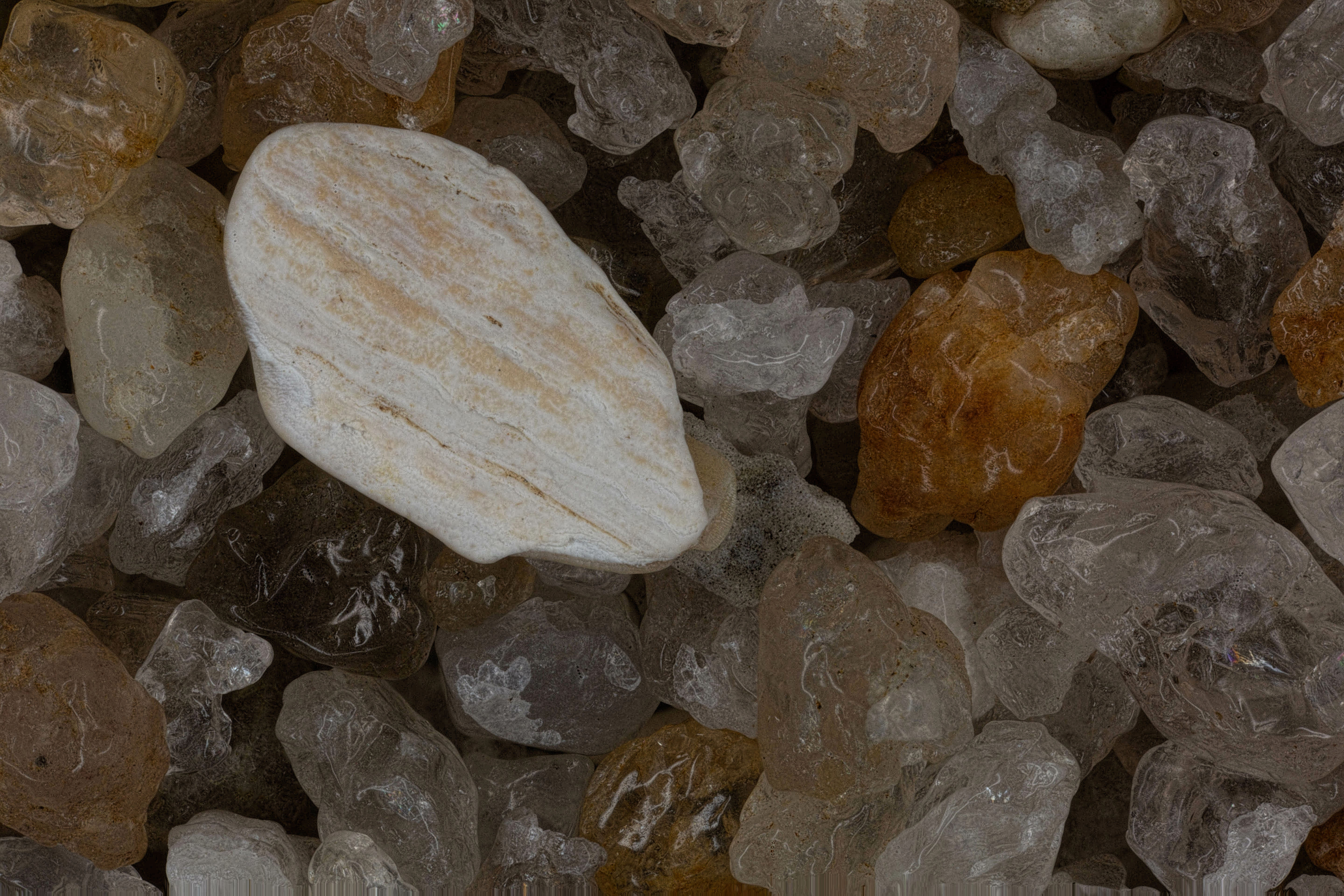
GRAIN SHAPE CHARACTERISTICS
(PREPARED BY GAMMA ZETA CHAPTER , SIGMA GAMMA EPSILON, KENT STATE UNIVERSITY - AGI CHART))
Roundness is the degree of smoothing due to abrasion of sedimentary particles. It is expressed as the ratio of the average radius of curvature of the edges or corners to the radius of curvature of the maximum inscribed sphere.
The sphericity of a particle is: the ratio of the surface area of a sphere (with the same volume as the given particle) to the surface area of the particle. |
| |
|
|
| |
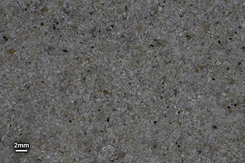
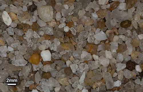
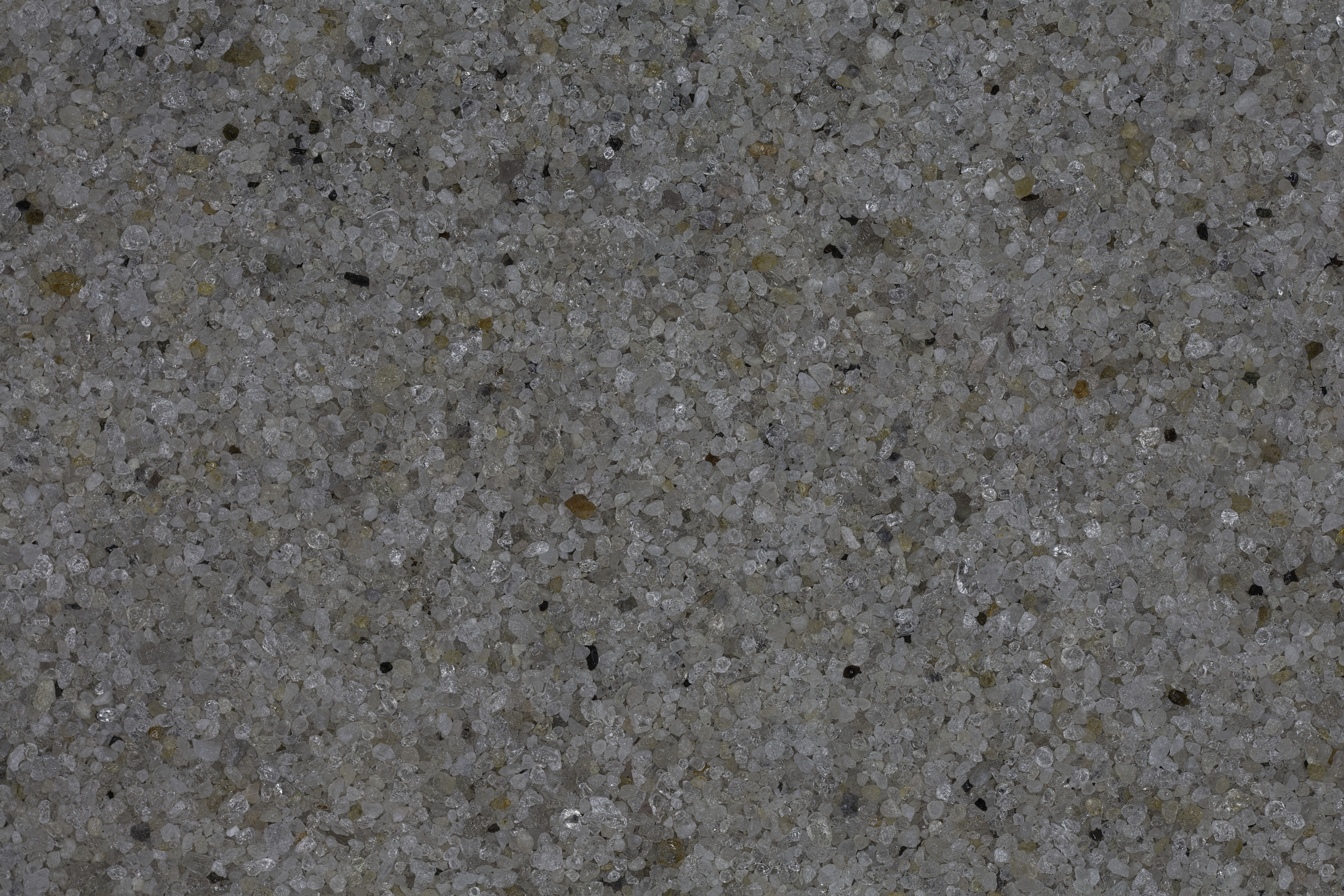
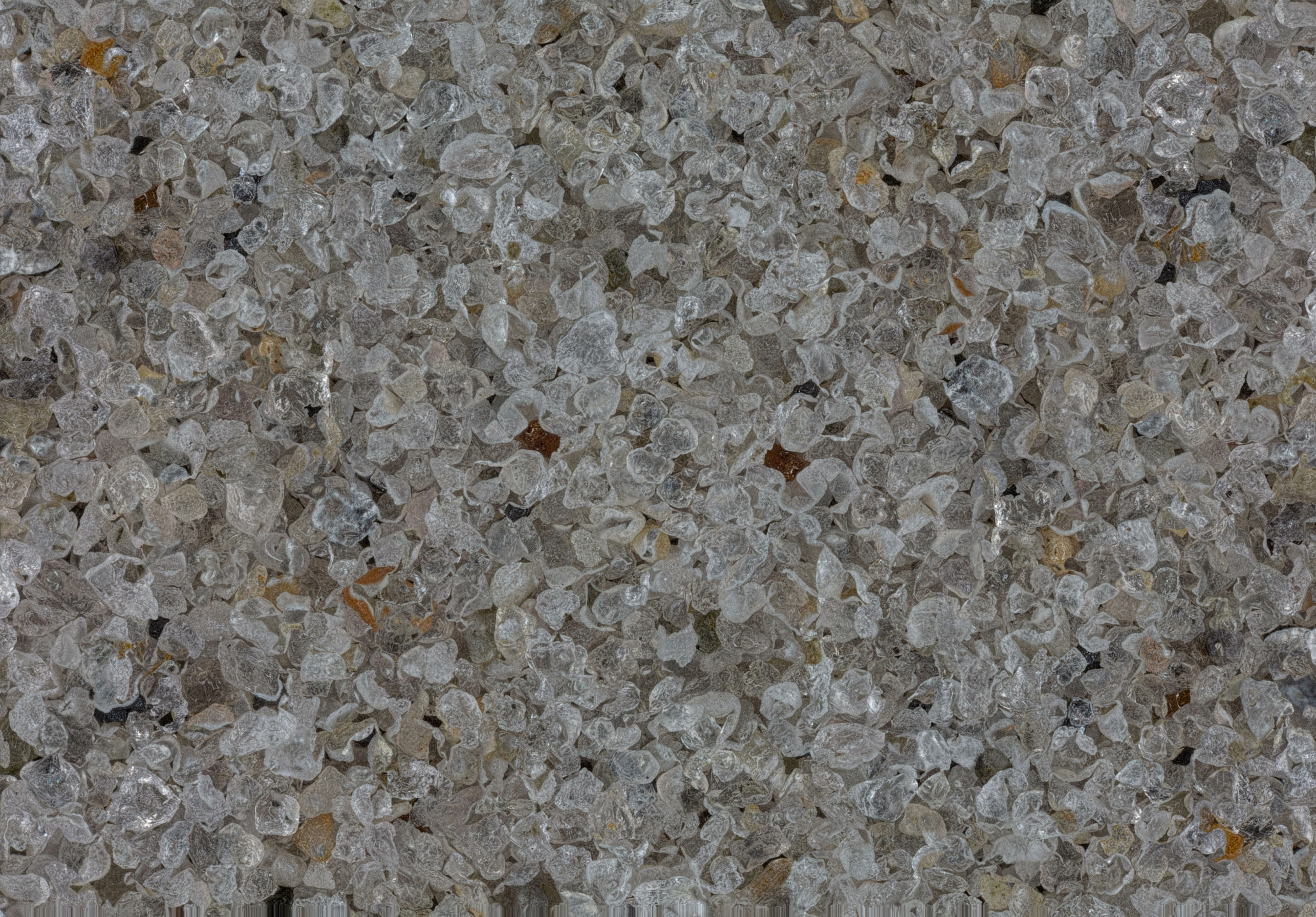
BEFORE BEACH REPLENISMENT |
|
| |
|
|
 |
 |
 |
0X IMAGE (BACKGROUND IMAGE) |
1X IMAGE |
3X IMAGE |
| Click on Image for High Resolution Version |
Click on Image for High Resolution Version |
Click on Image for High Resolution Version |
| |
|
|
| |
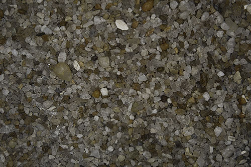
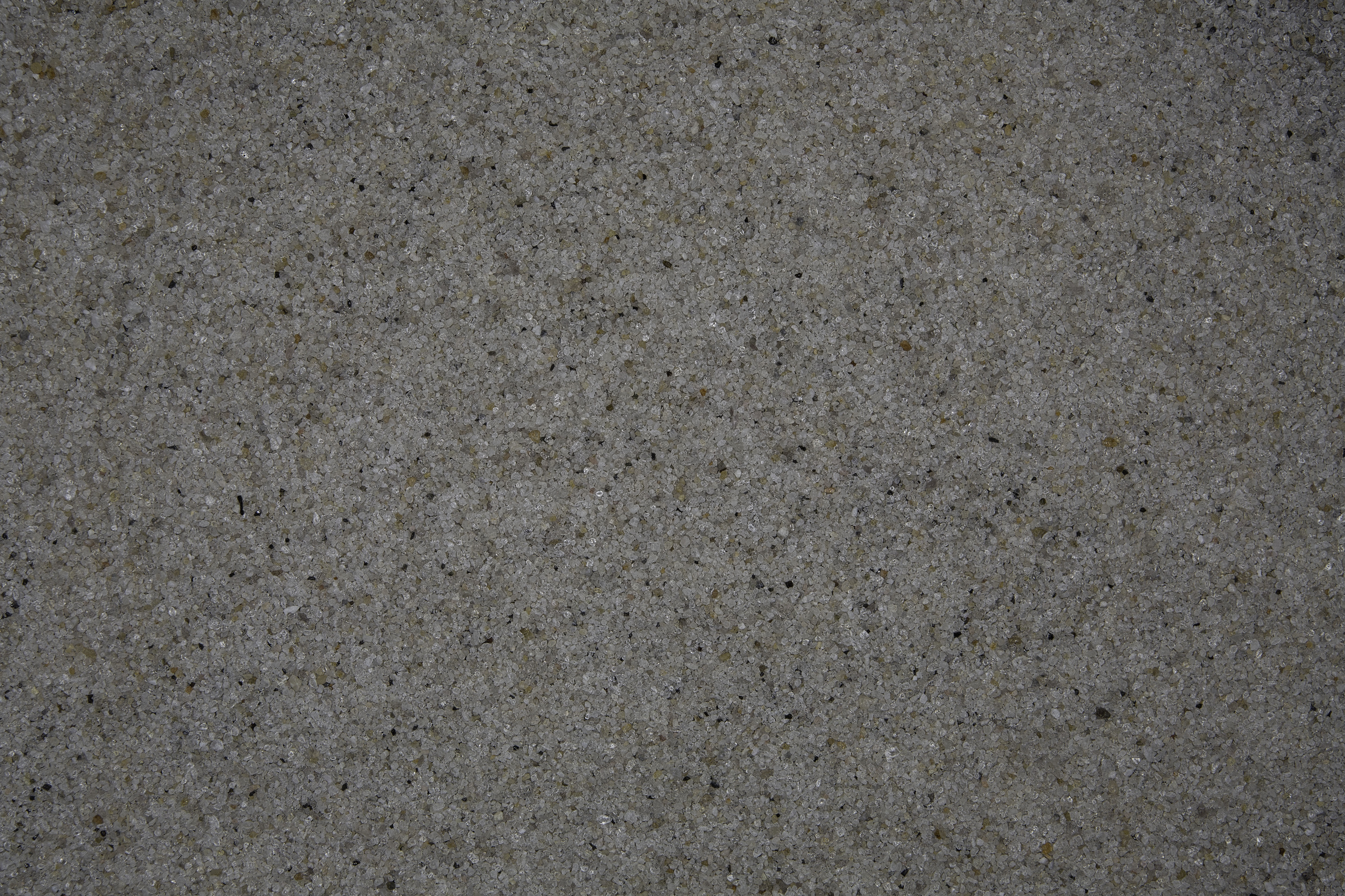
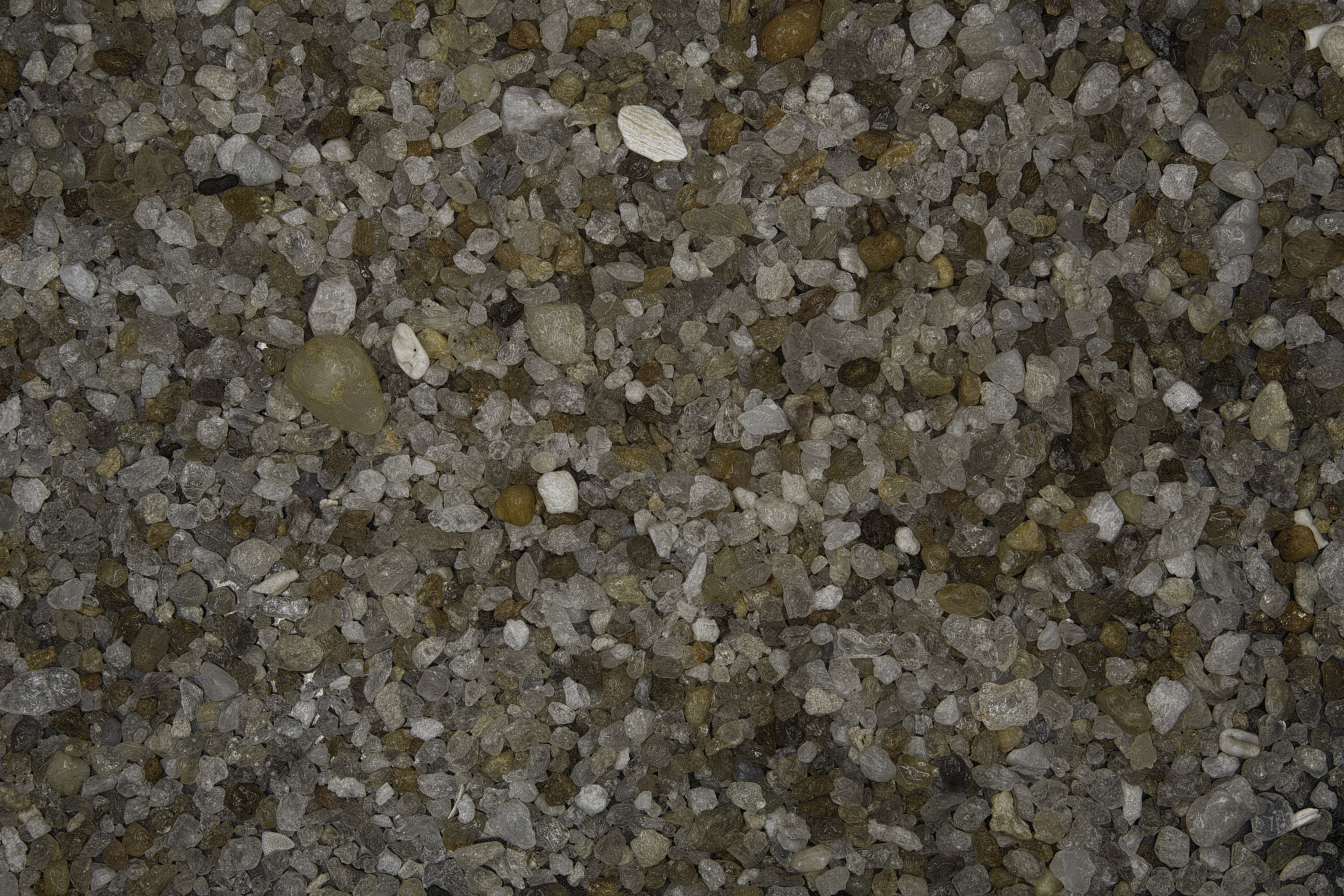
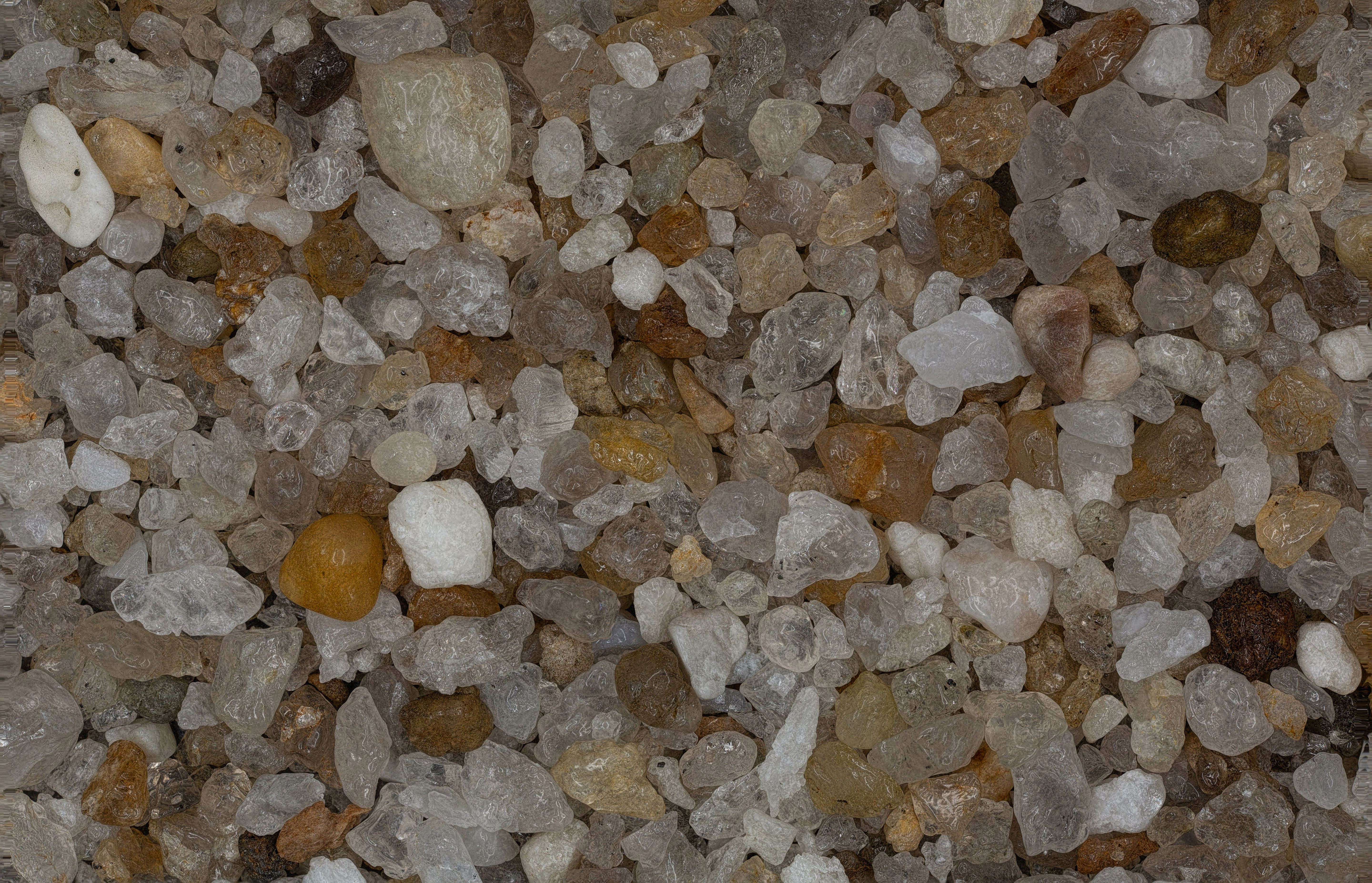
AFTER BEACH REPLENISHMENT |
|
| |
|
|
 |
 |
 |
0X IMAGE |
1X IMAGE |
3X IMAGE |
| Click on Image for High Resolution Version |
Click on Image for High Resolution Version |
Click on Image for High Resolution Version |
| |
|
|
| |
|
|
| |
|
|
| |
|
|
| |
|
|
| |
|
|
