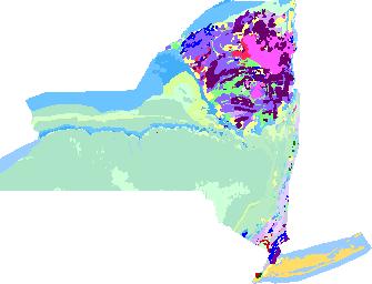
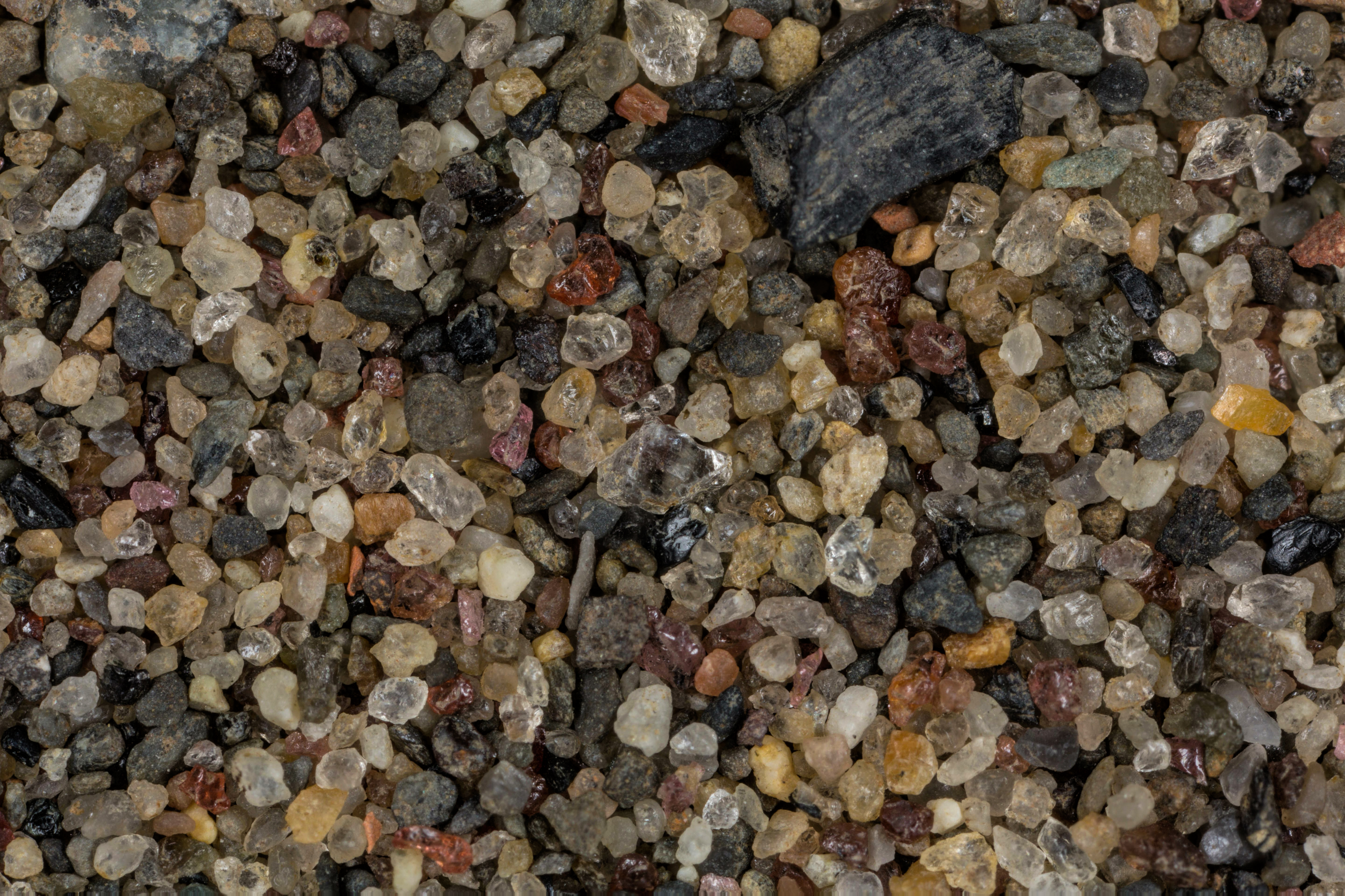
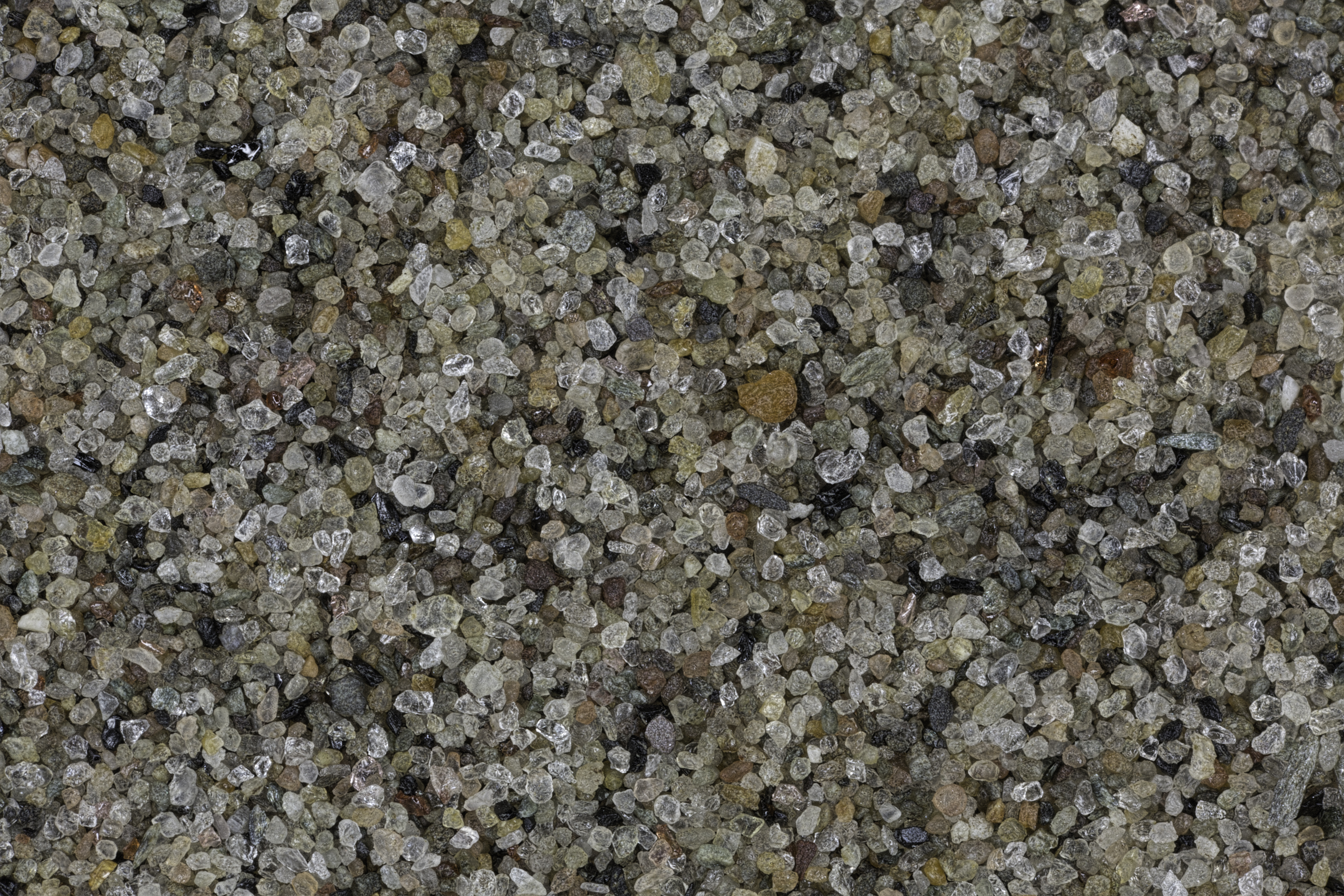
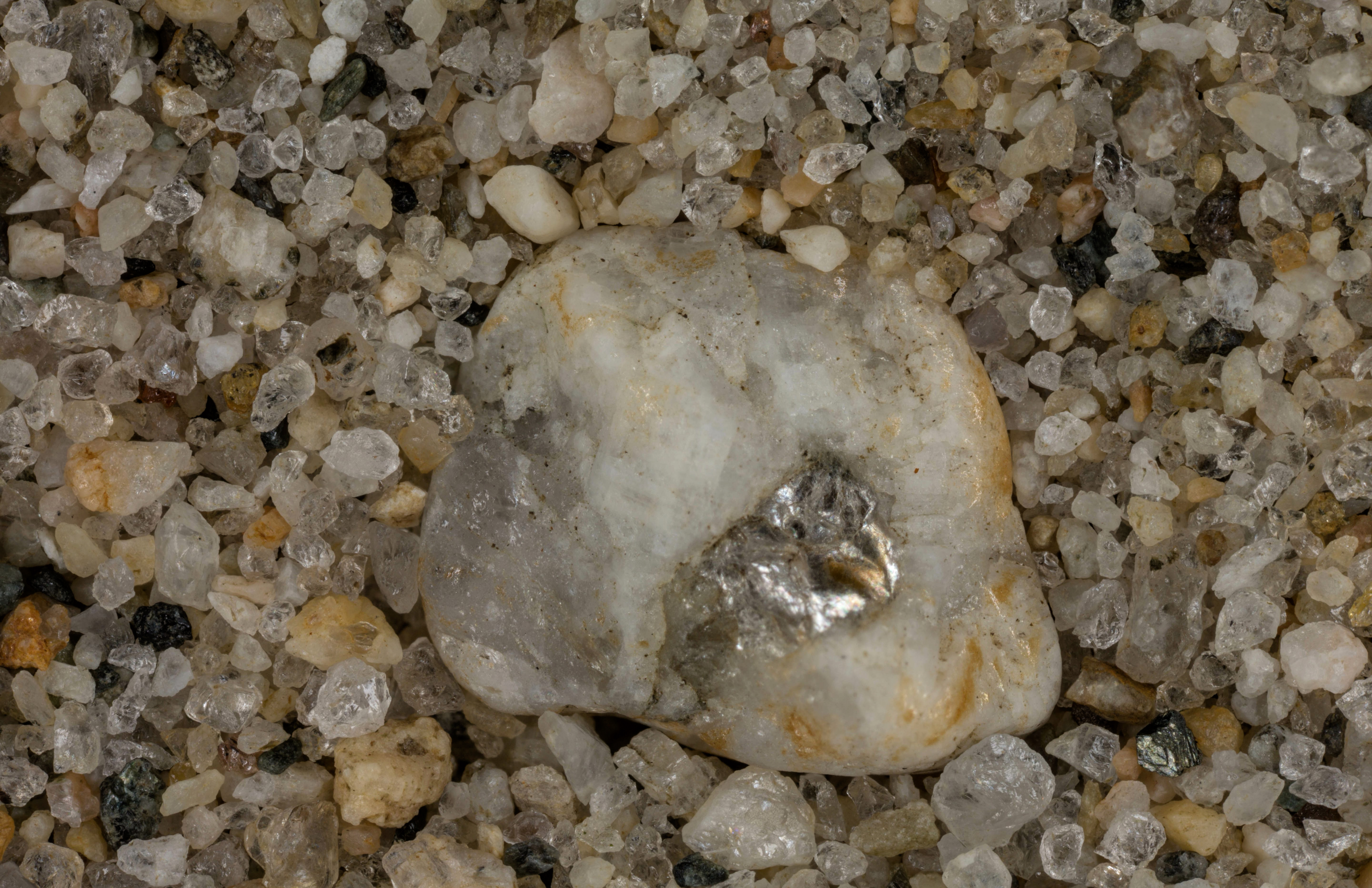
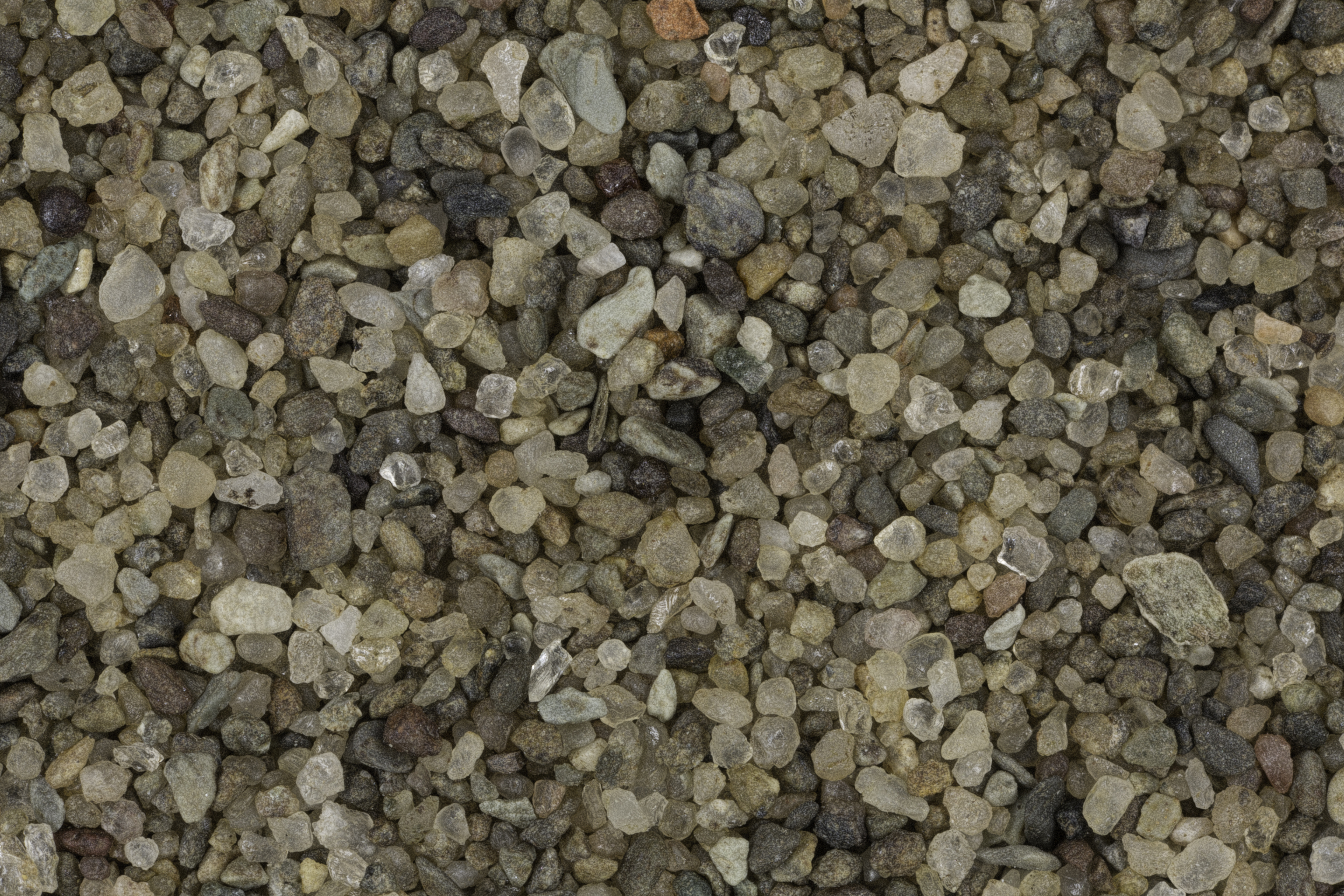
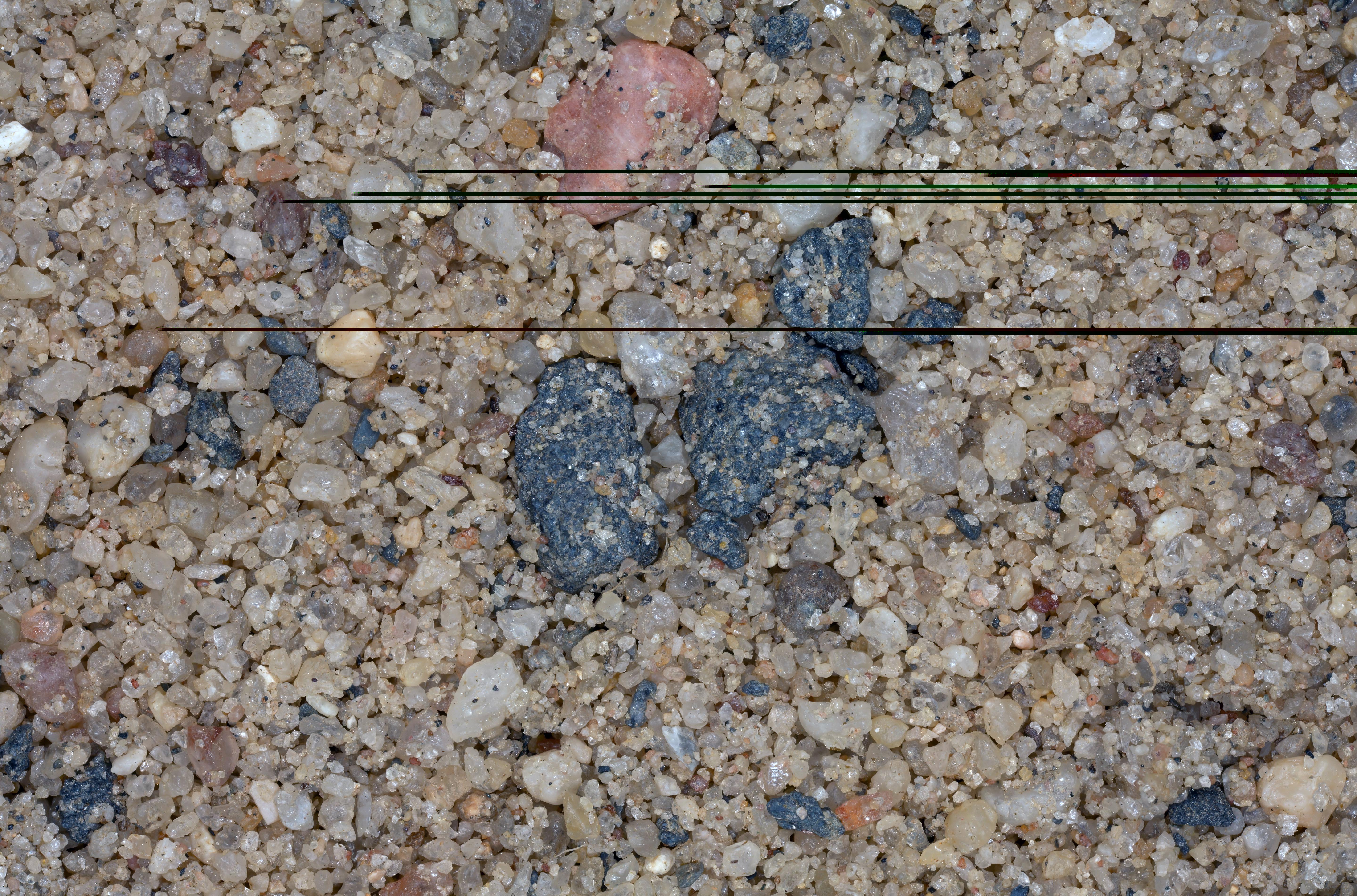
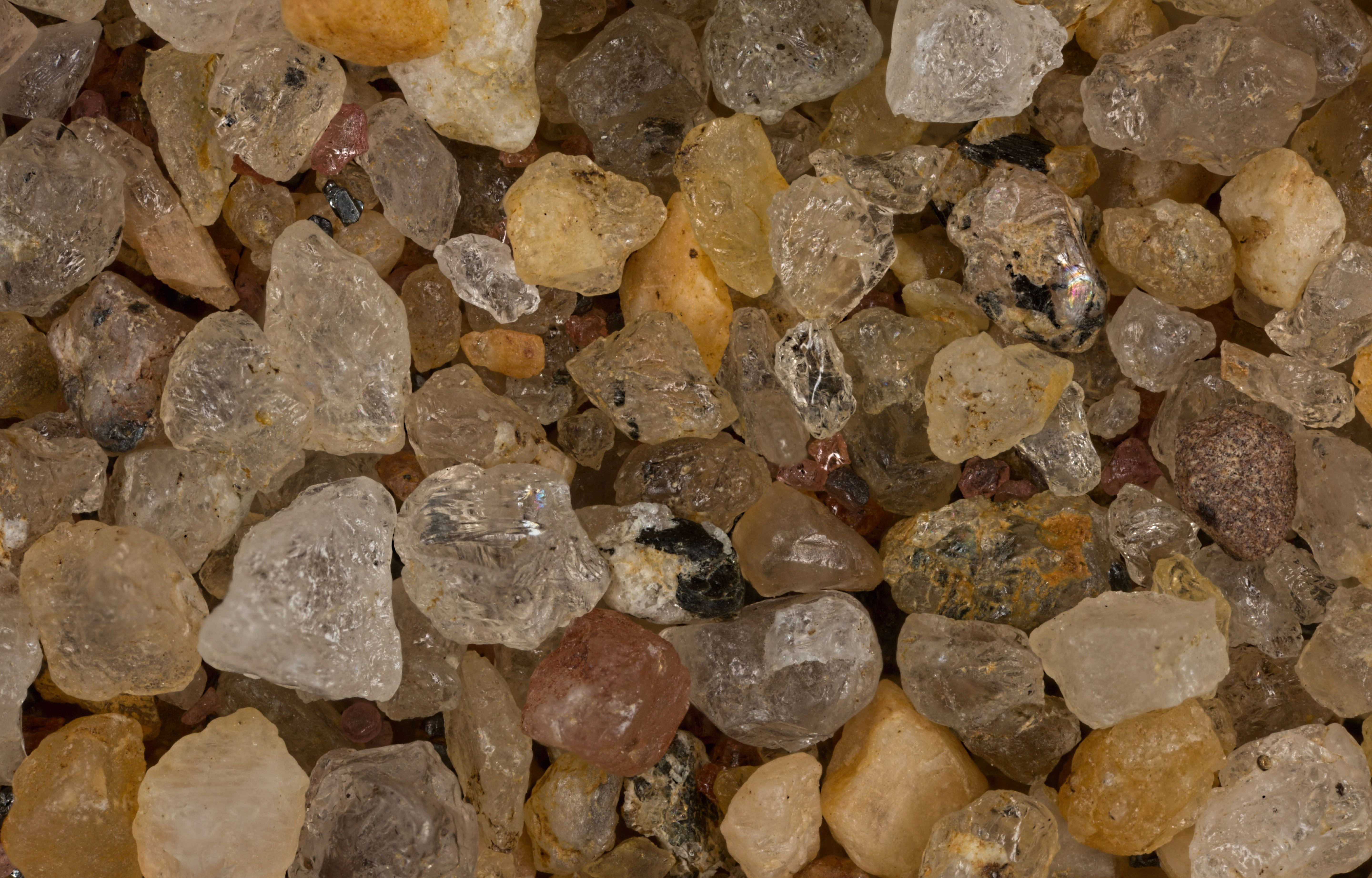
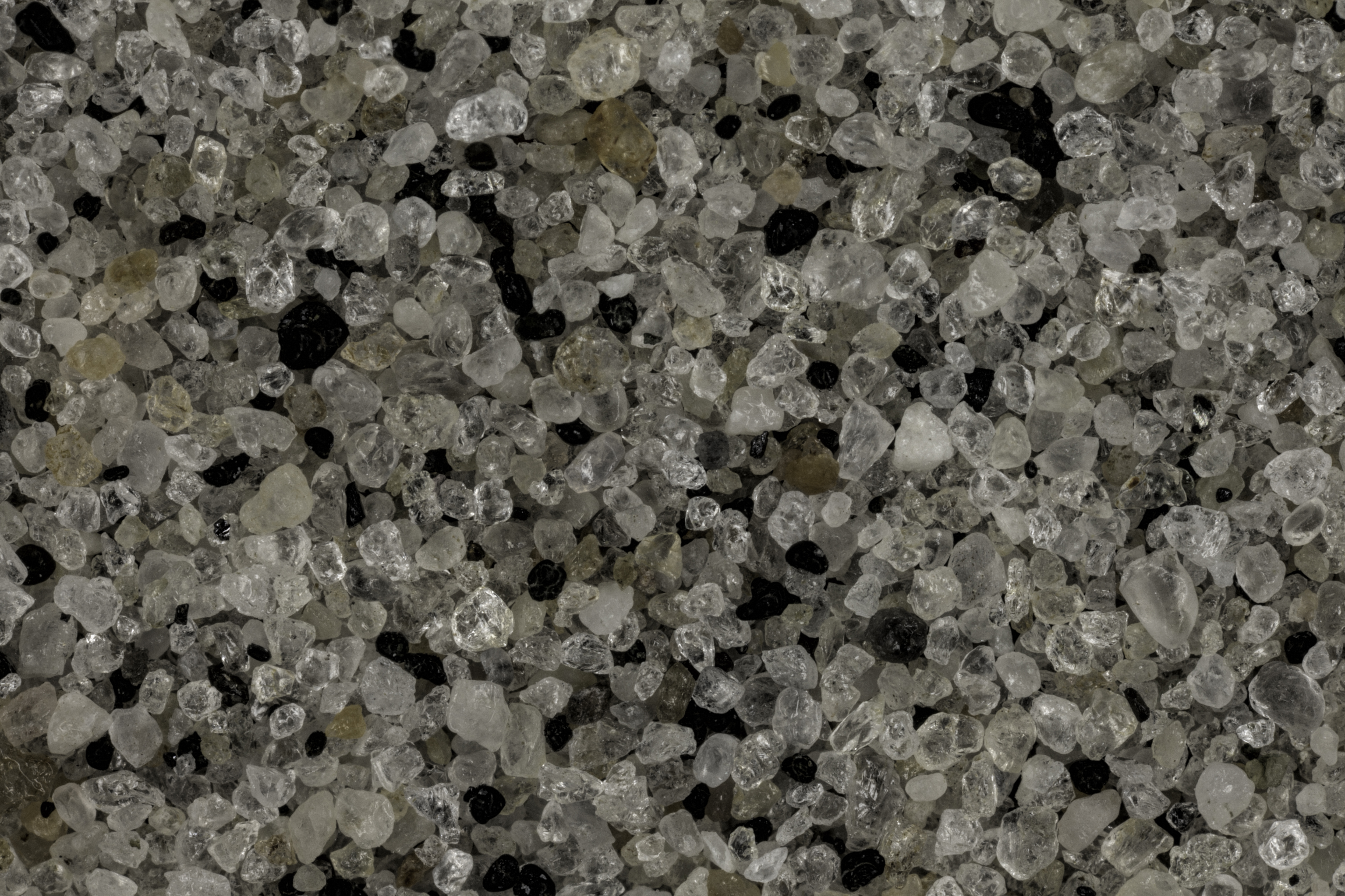
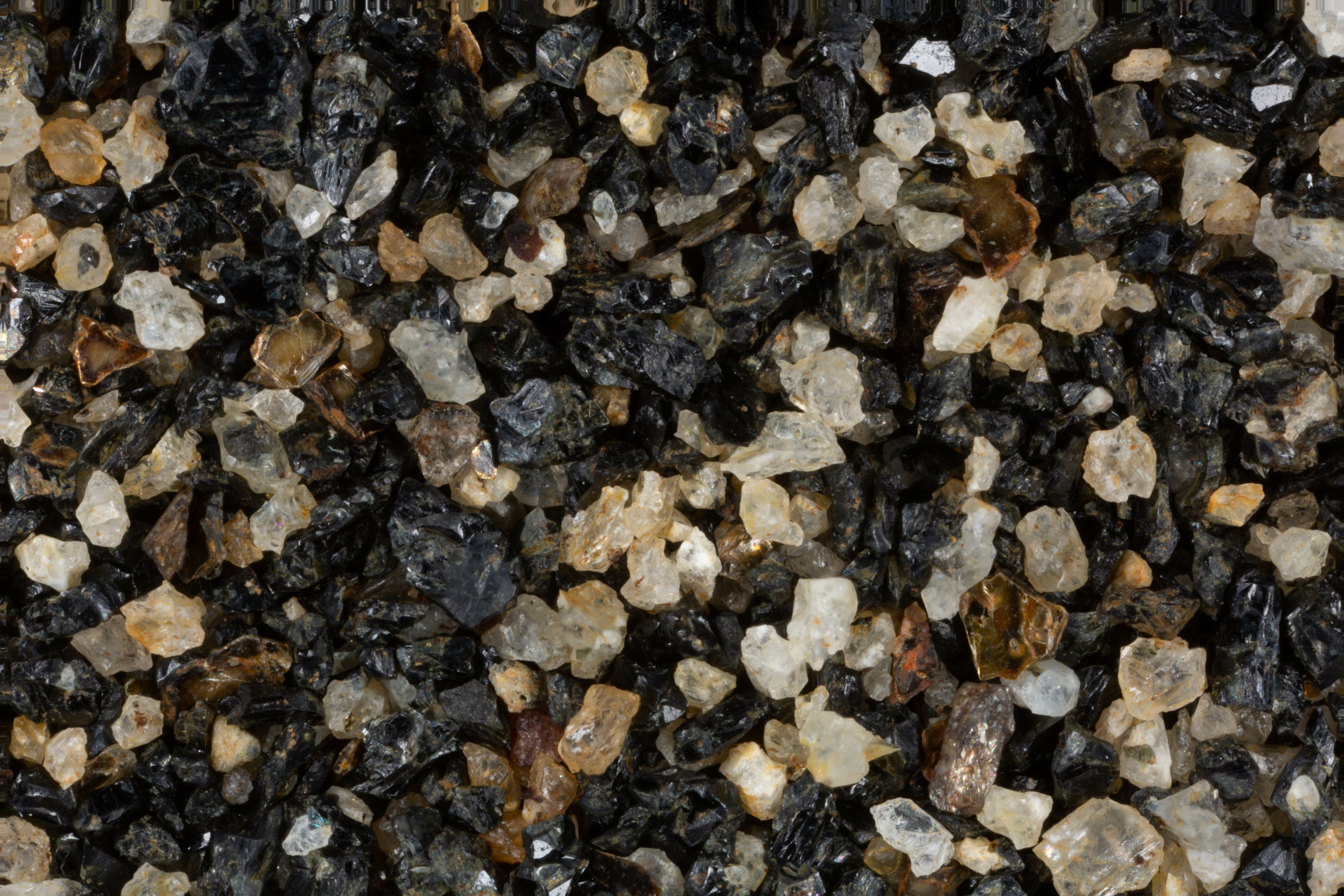
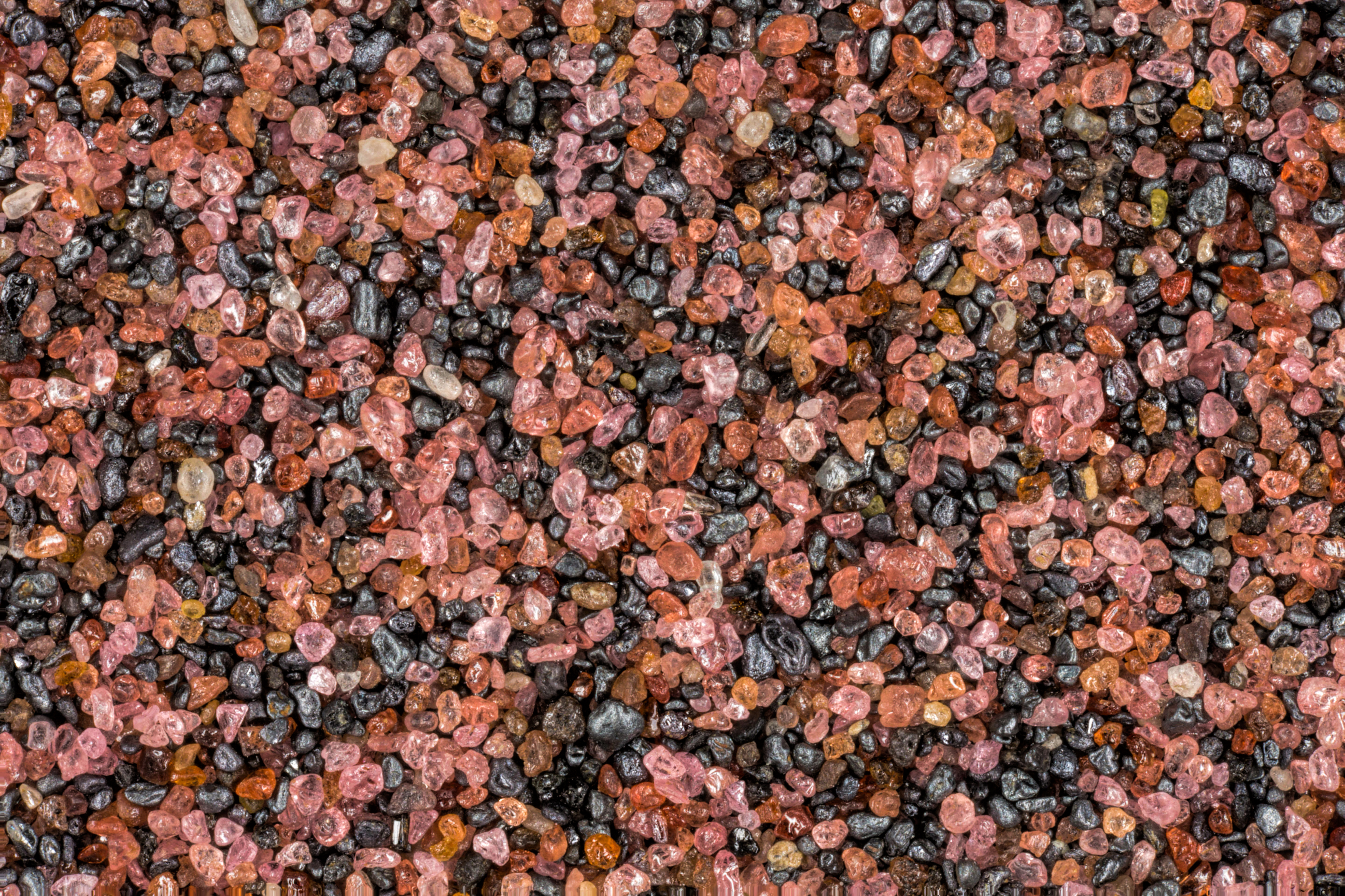
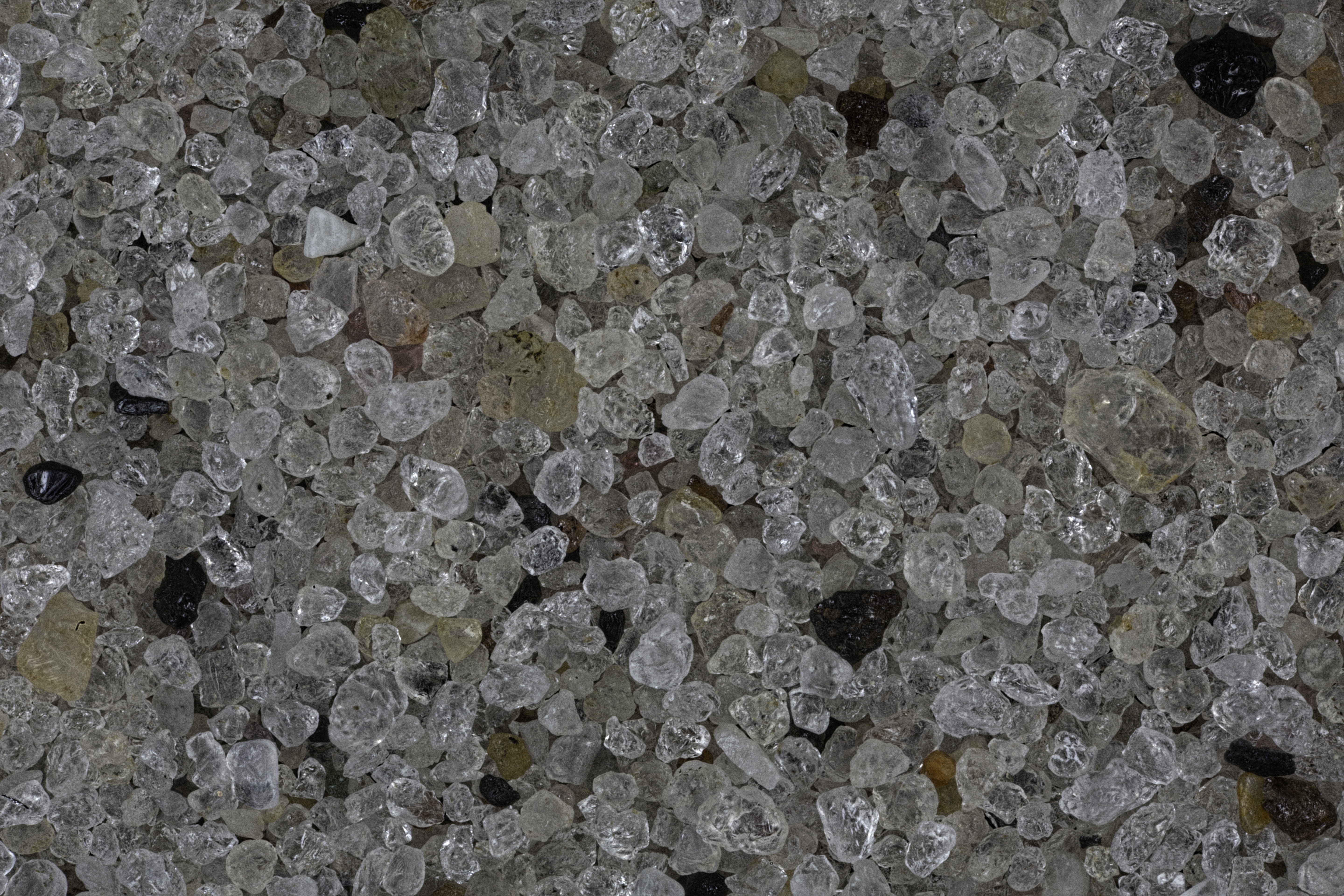
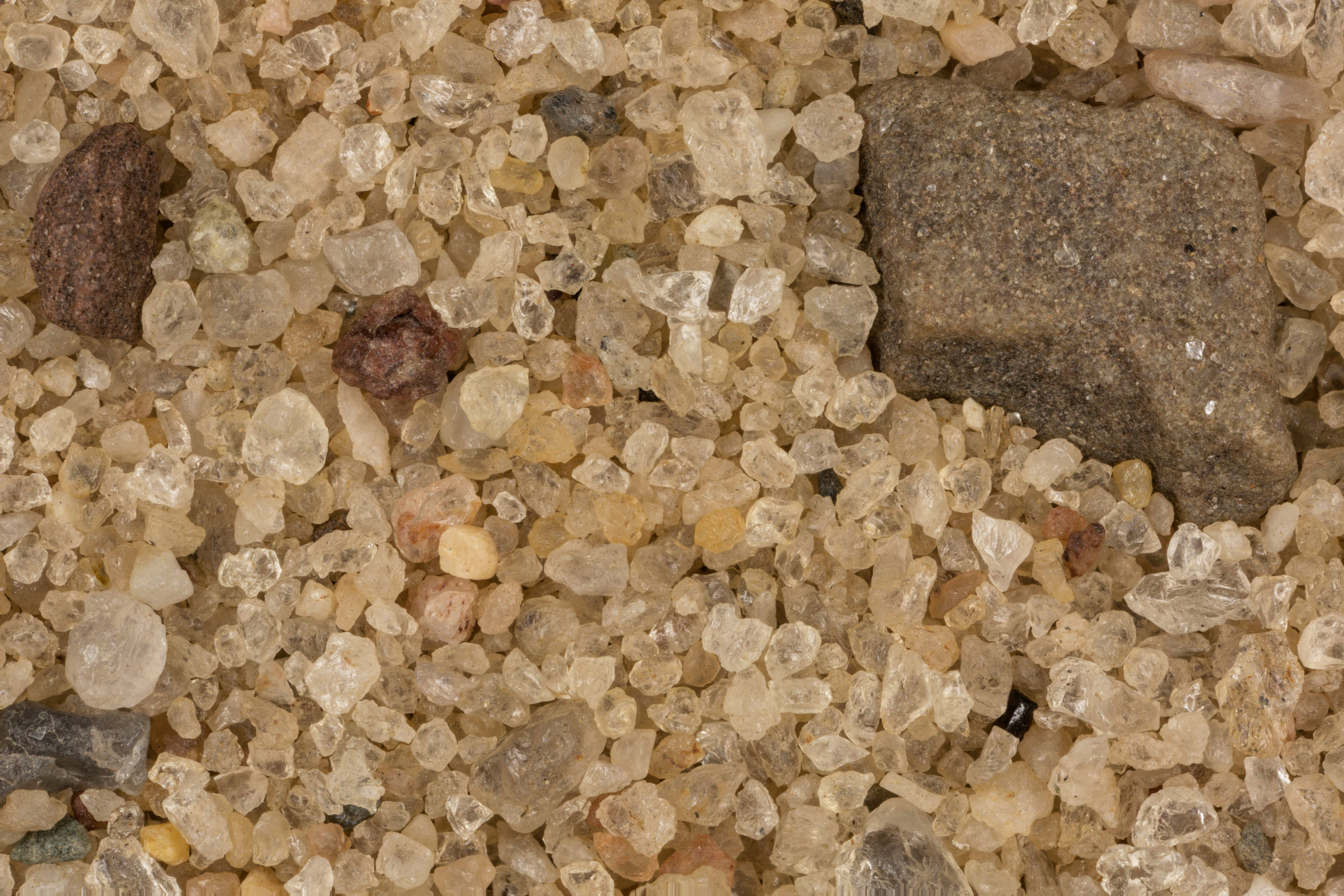
NEW YORK SAND SAMPLES
CLICK ON MAP TO GO TO USGS SITE
LOCATION
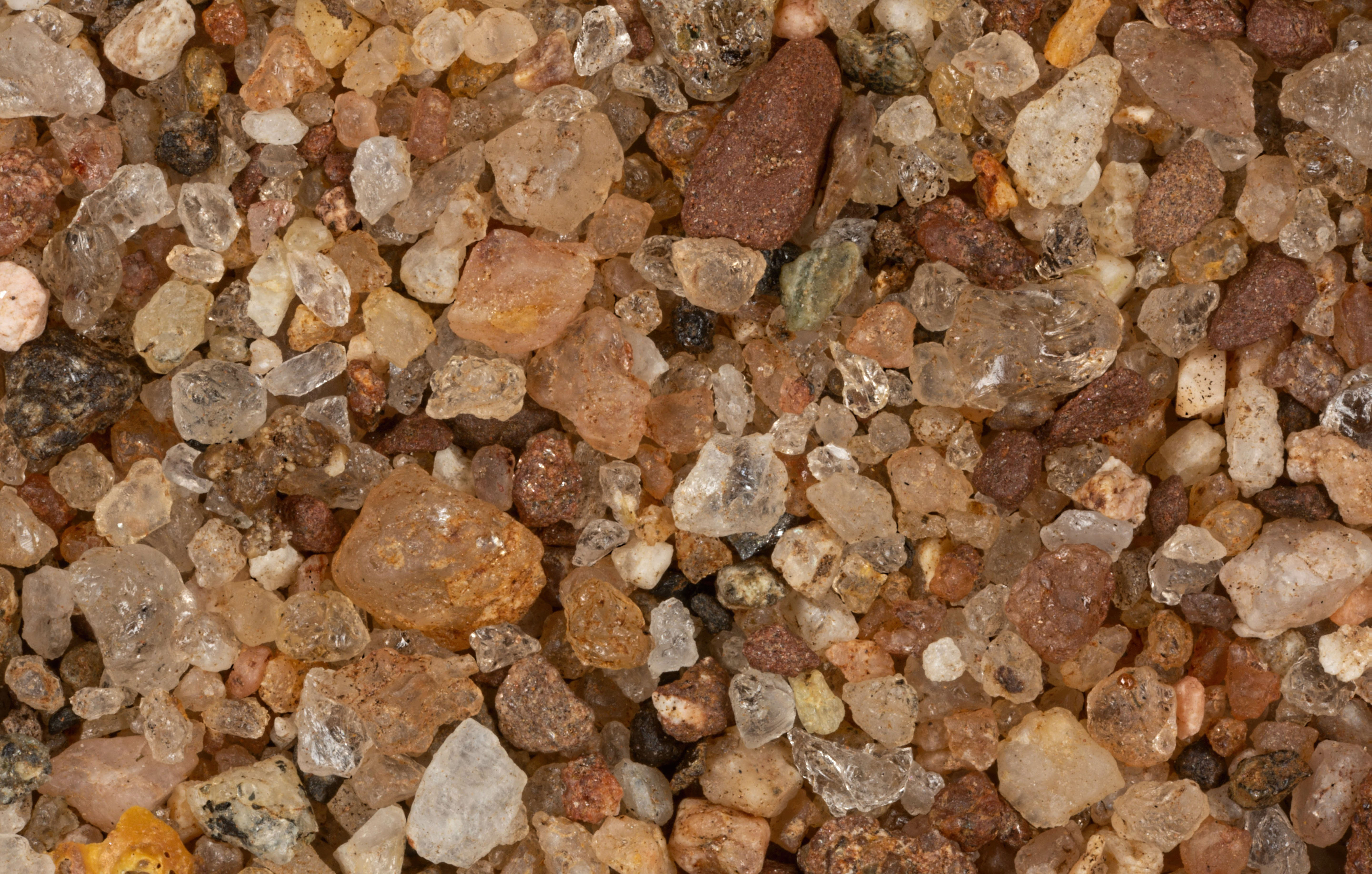
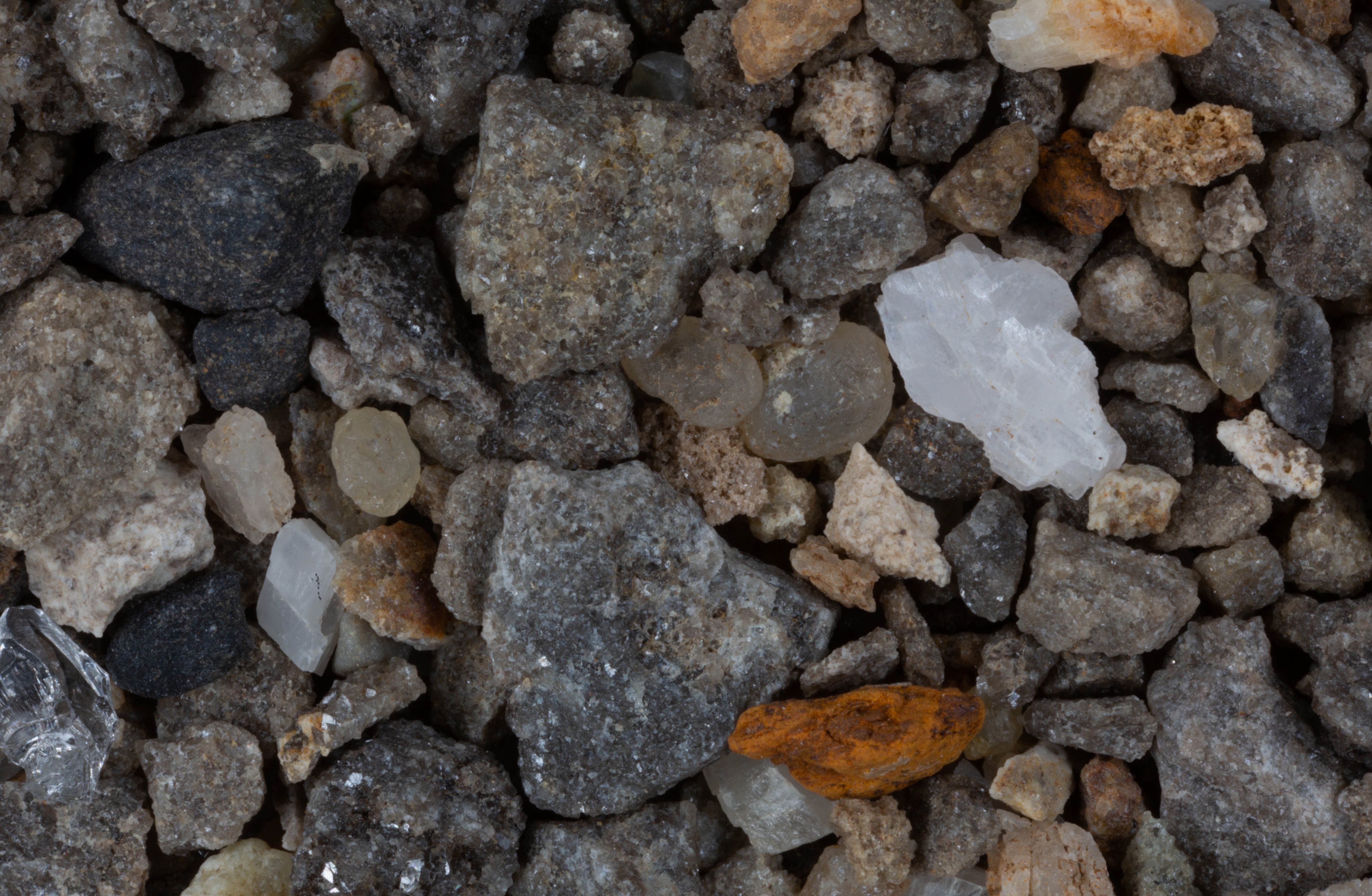
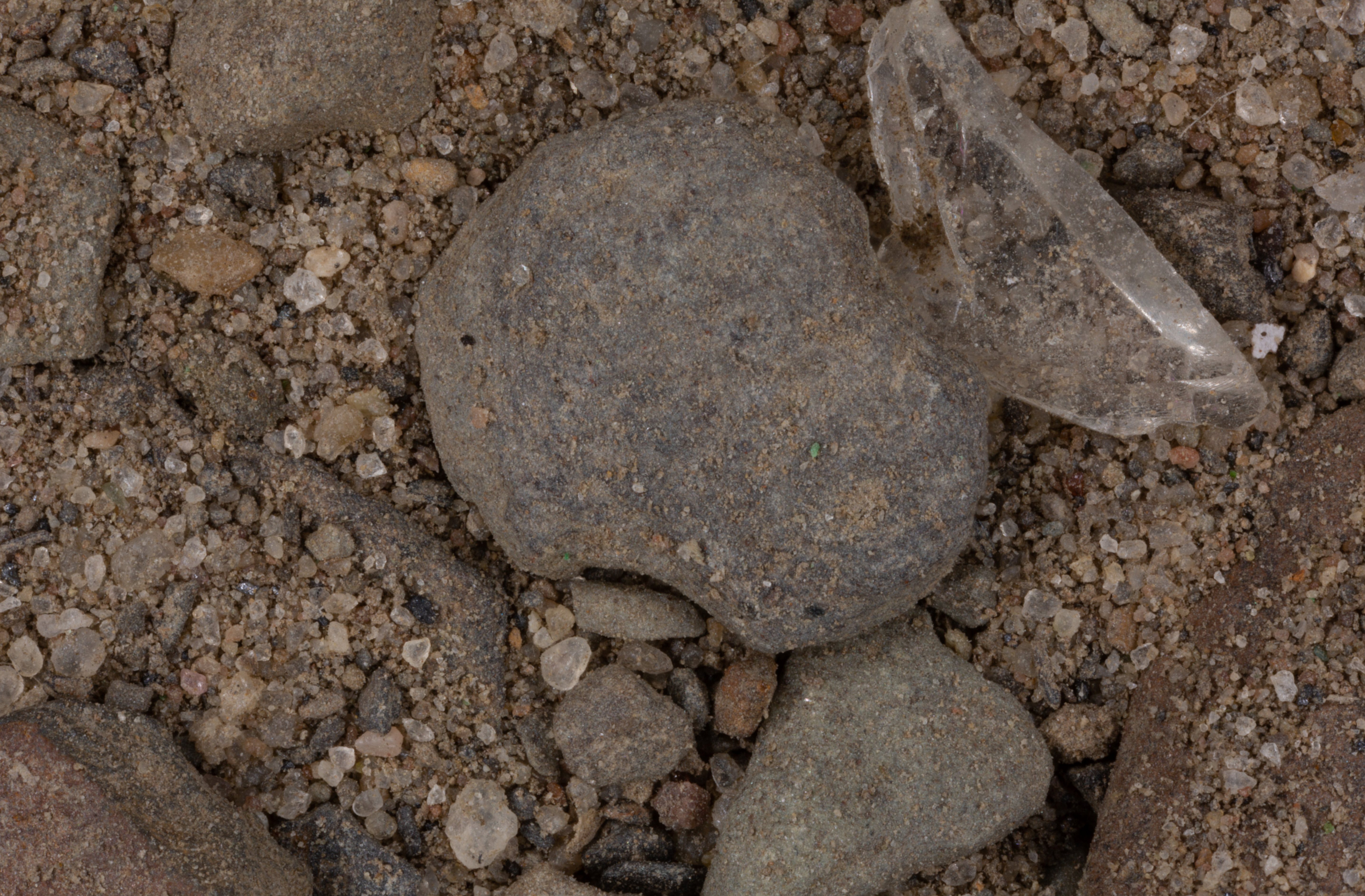
CLICK ON IMAGE FOR HIGH RES.
Lakeside Beach State Park, Lake Ontario 43.37N, 78.24W
Ace of Diamonds Mine, Middleville 43.14N, 74.97W
Lake Erie, Buffalo 42.90N, 78.85W
Conesus Lake 42.72N, 77.72W
Hudson River, Stuyversant 42.39N, 73.78W
Hudson River, Hudson 42.25N, 73.79W
Esopus Creek, Saugerties 42.06N, 73.95W
Roundout Creek, Eddyville 42.00N, 74.00W
Esopus Lighthouse, Esopus 41.87N, 73.94W
Long Pond Rec. Area, Orange County 41.37N, 74.02W
Orient Point 41.15N, 72.29W
Little Peconic Bay 41.00N, 72.49W
Pelham Park, Long Island Sound 40.87N, 73.81W
Fire Island National Seashore (2 Samples) 40.70N, 72.98W
Robert Moses Park Beach, Long Island 40.62N, 73.28W
Coney Island, Brooklyn, NYC 40.57N, 73.98W
Ad Meskens
Photograph
RETURN TO
HOME
RETURN TO
PRE 2016 NEW YORK
