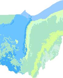
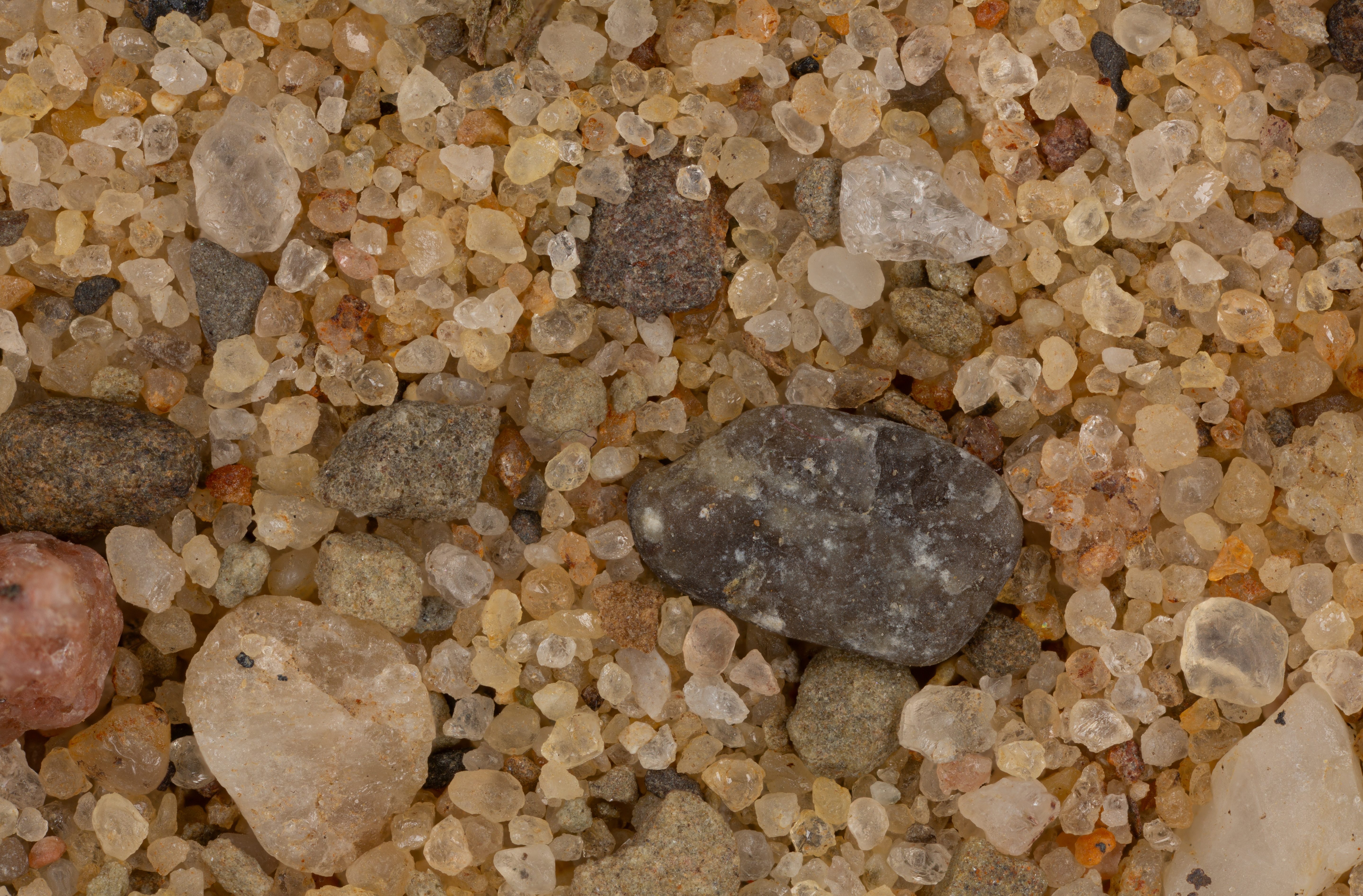
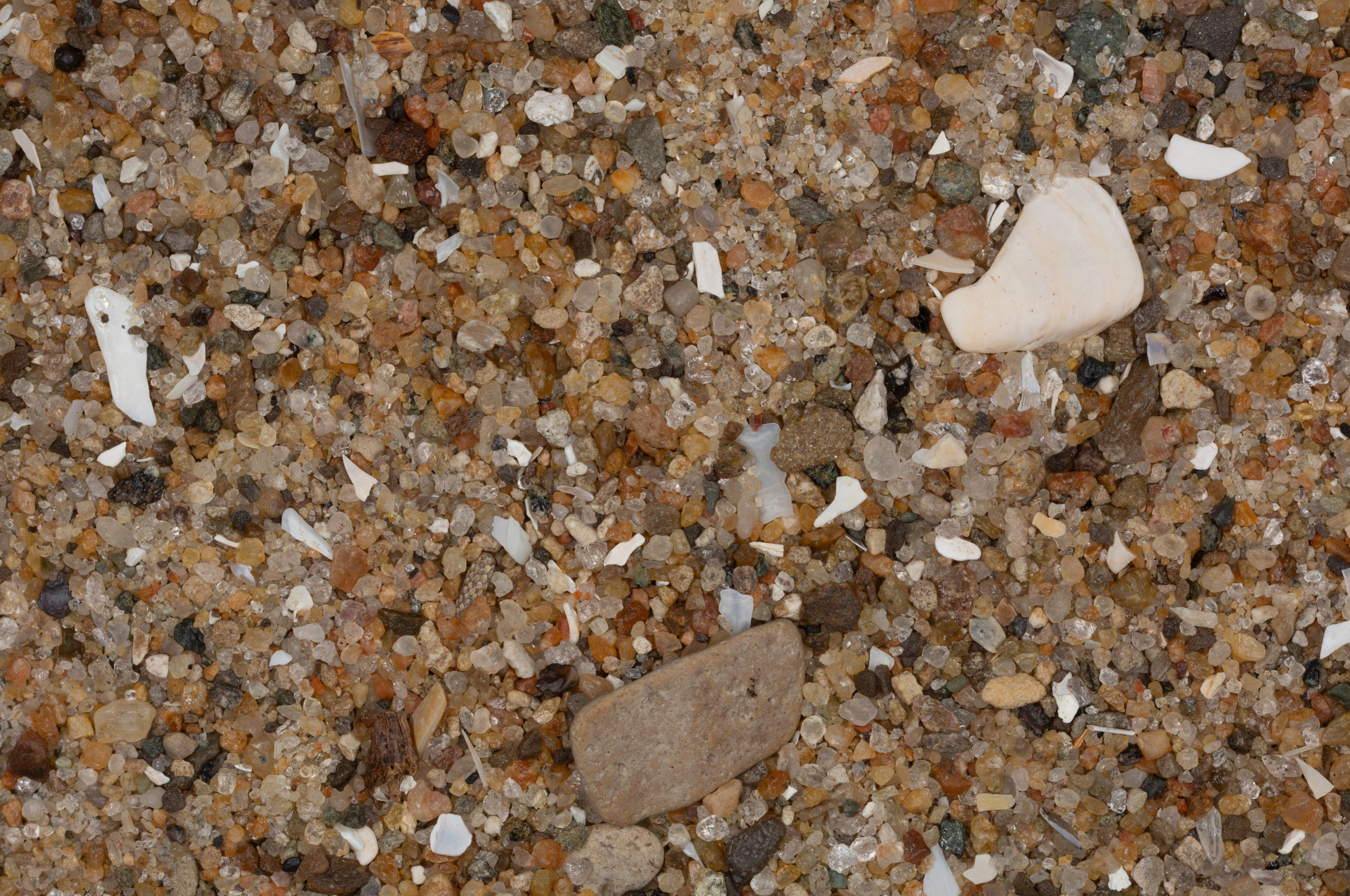
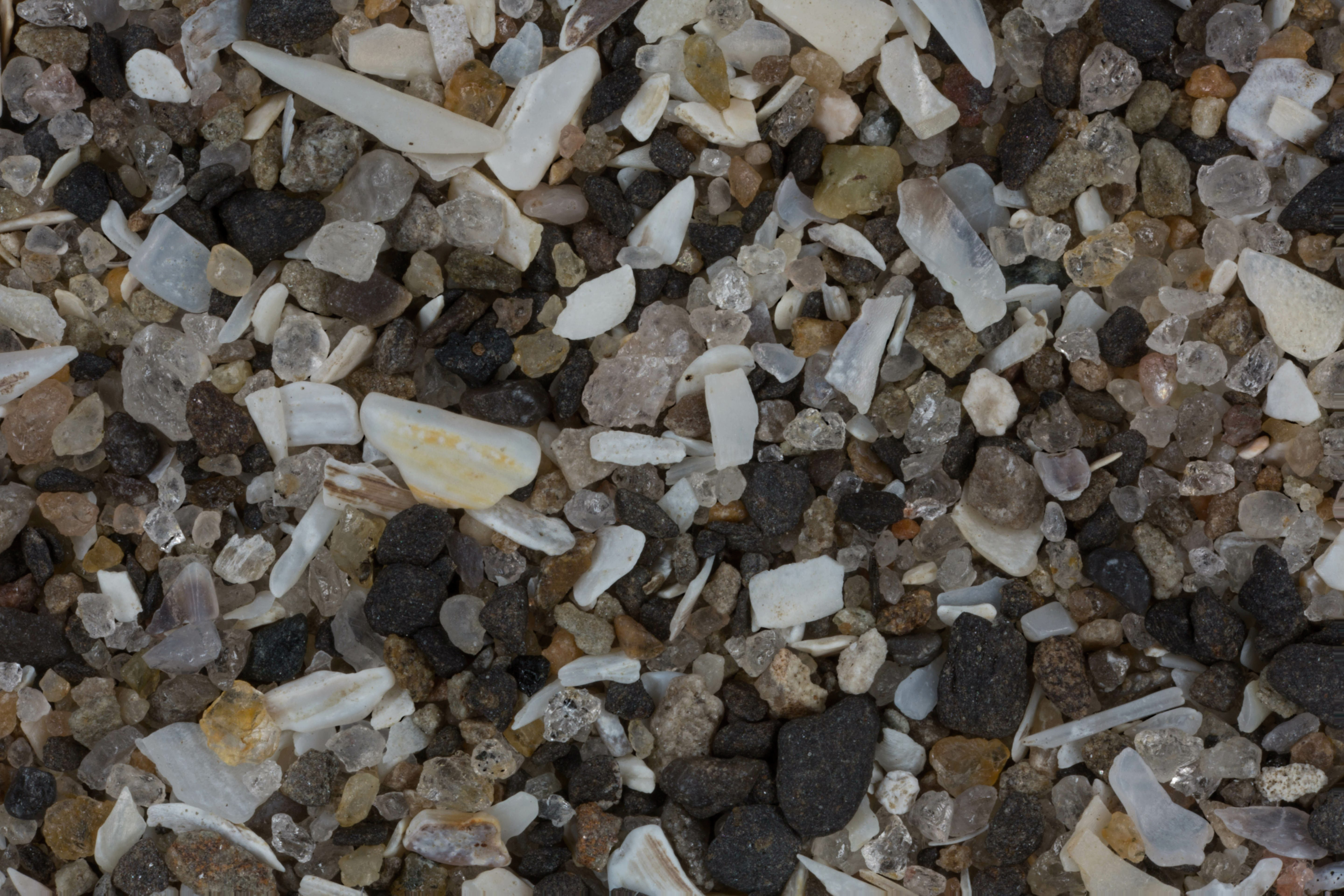
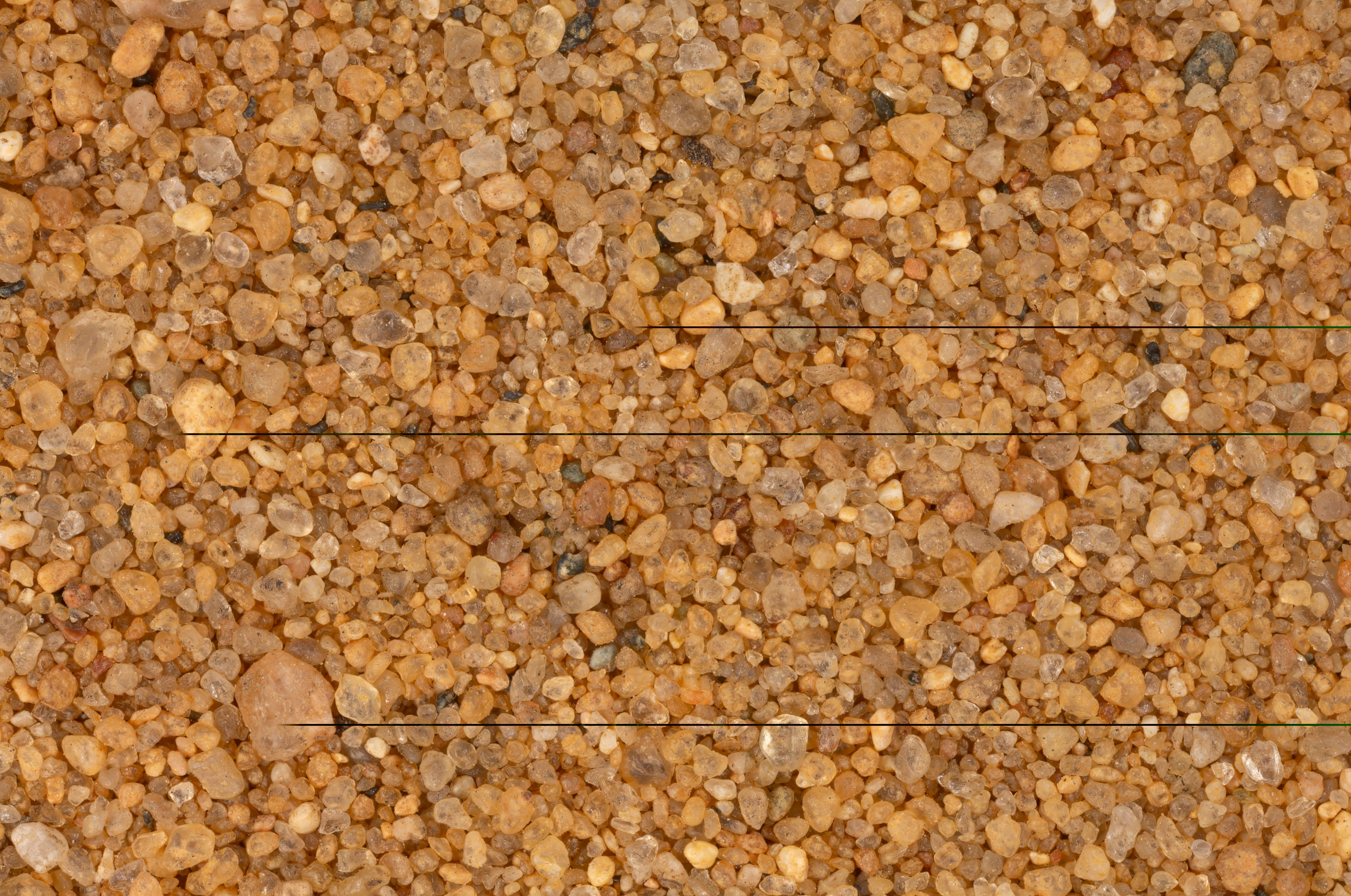
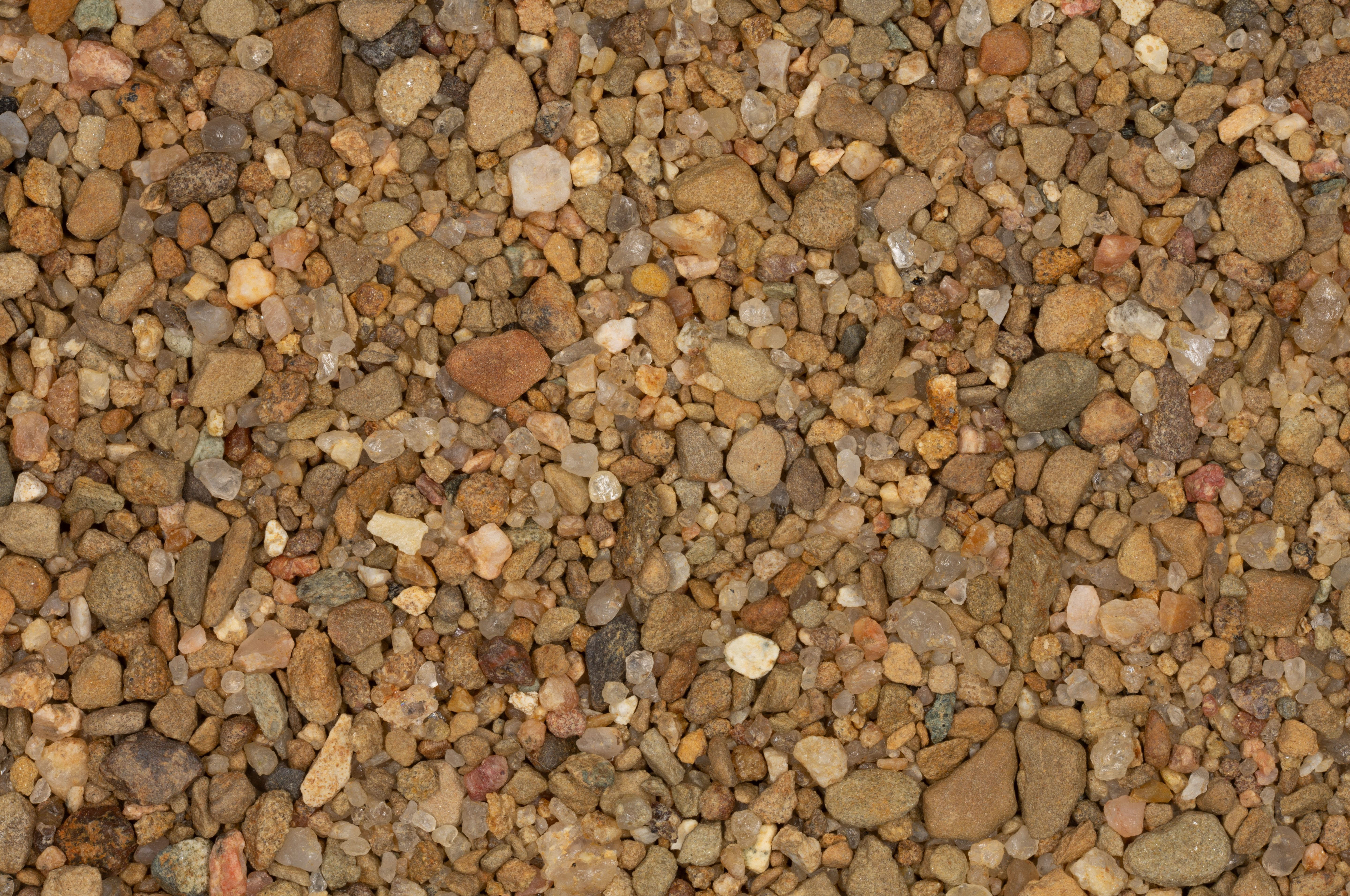
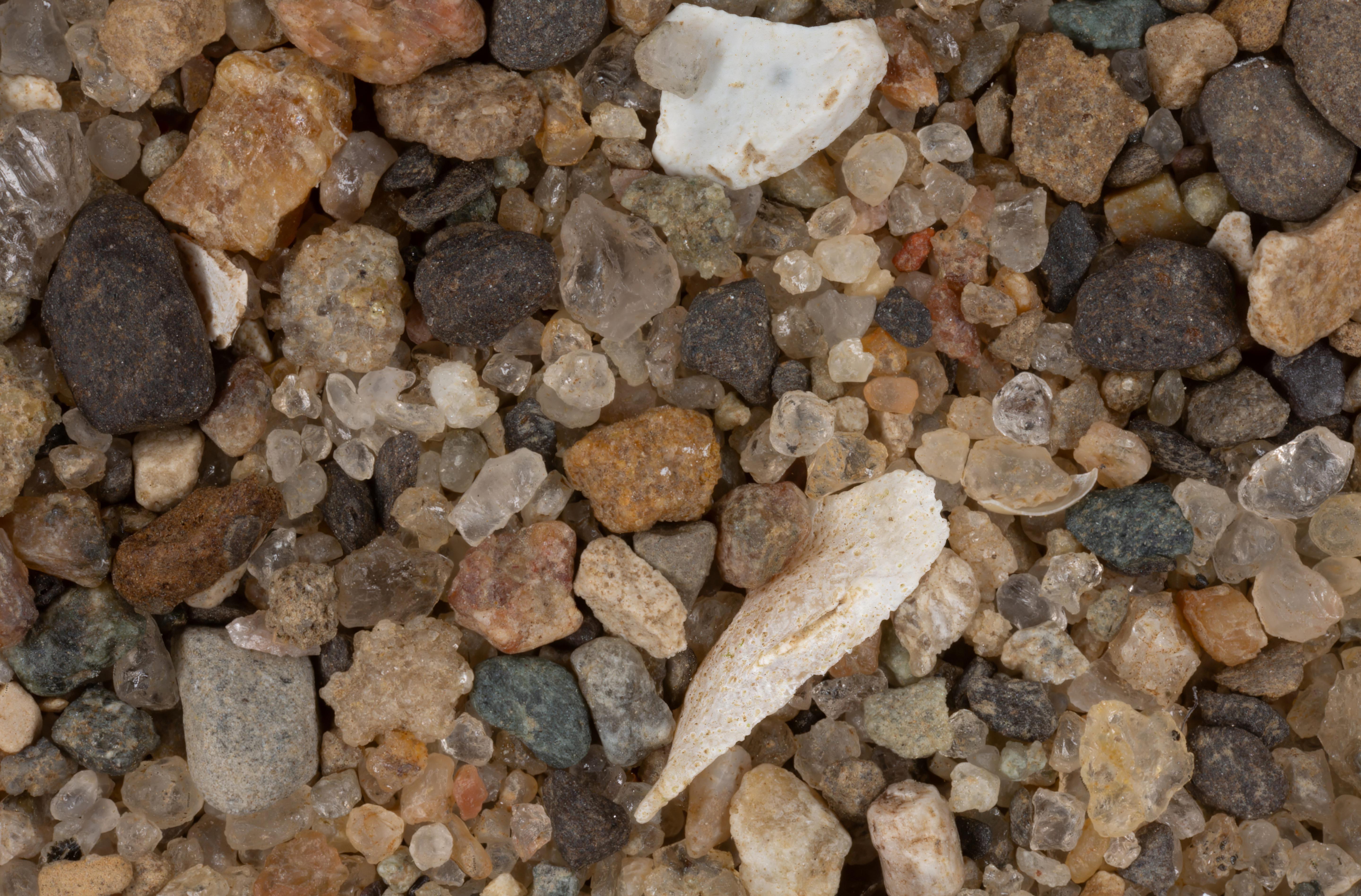
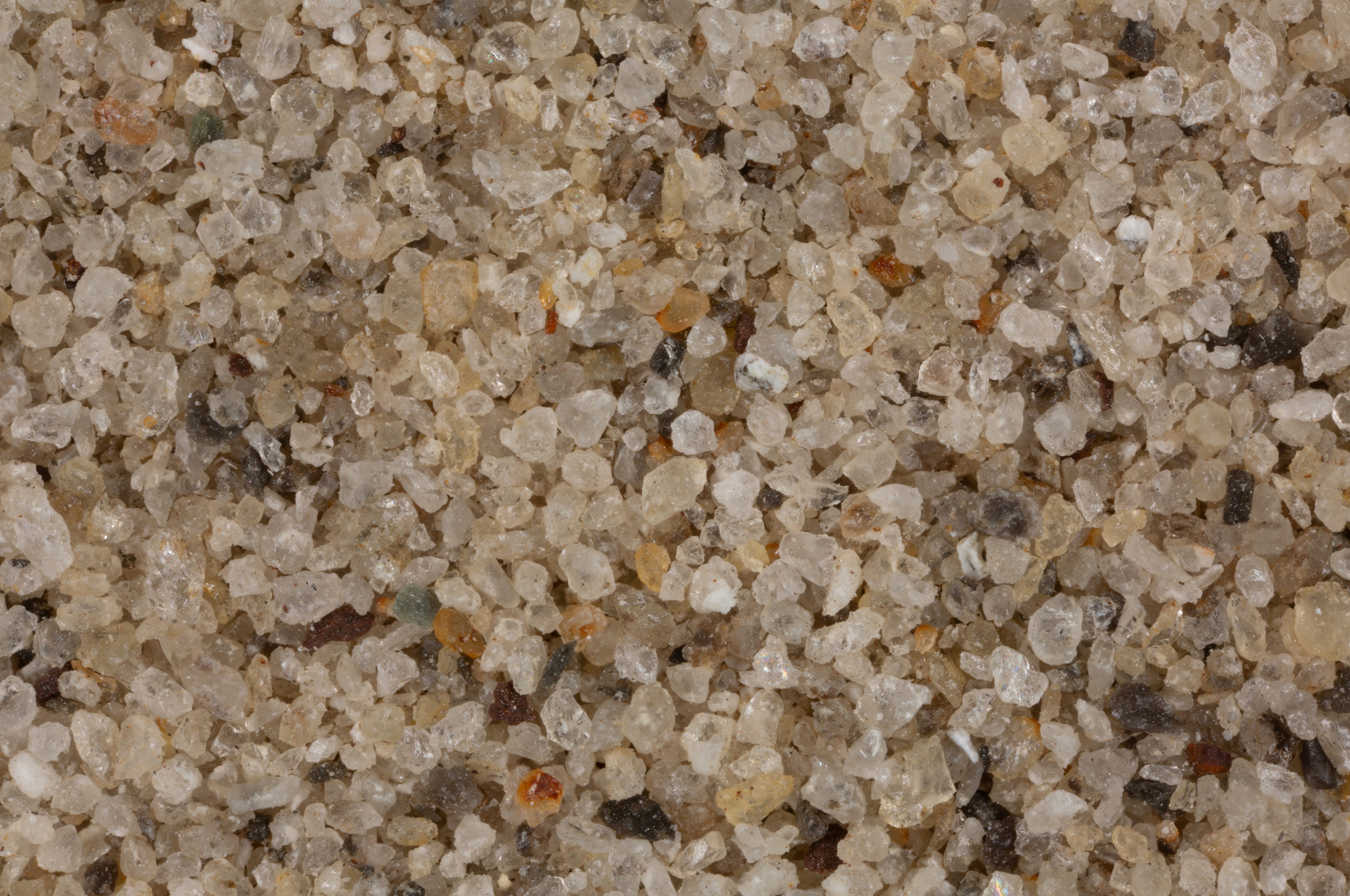
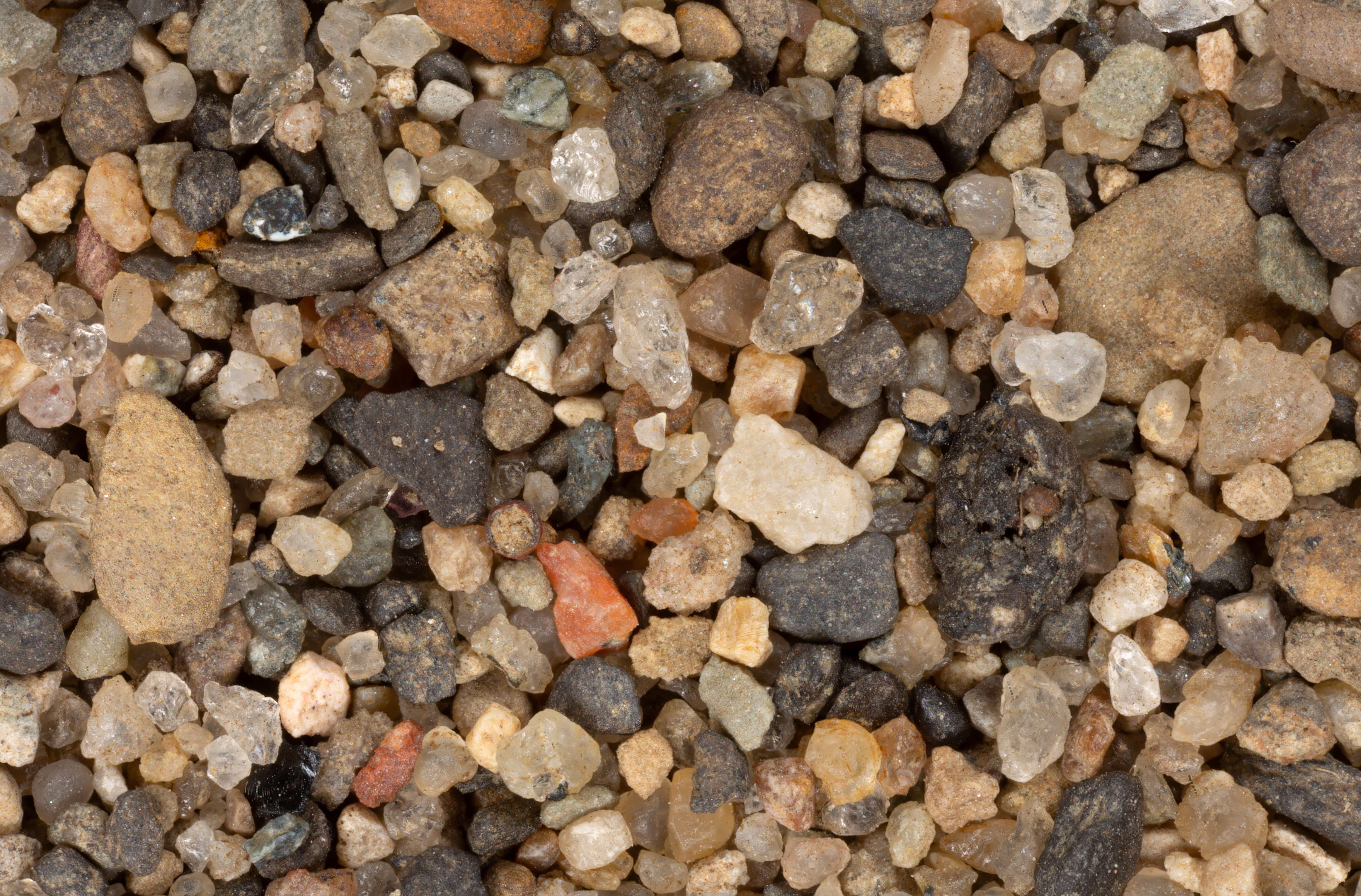
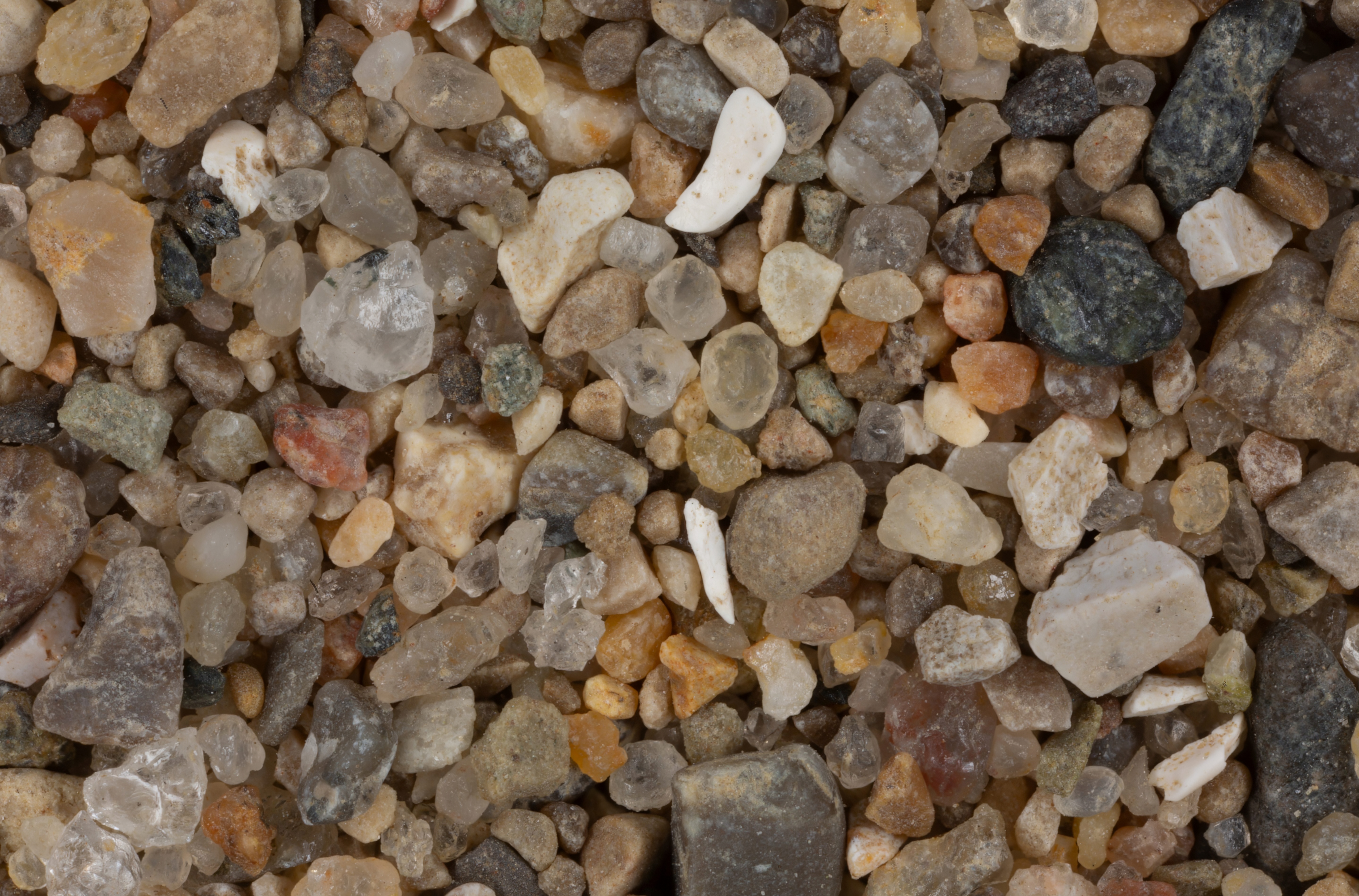
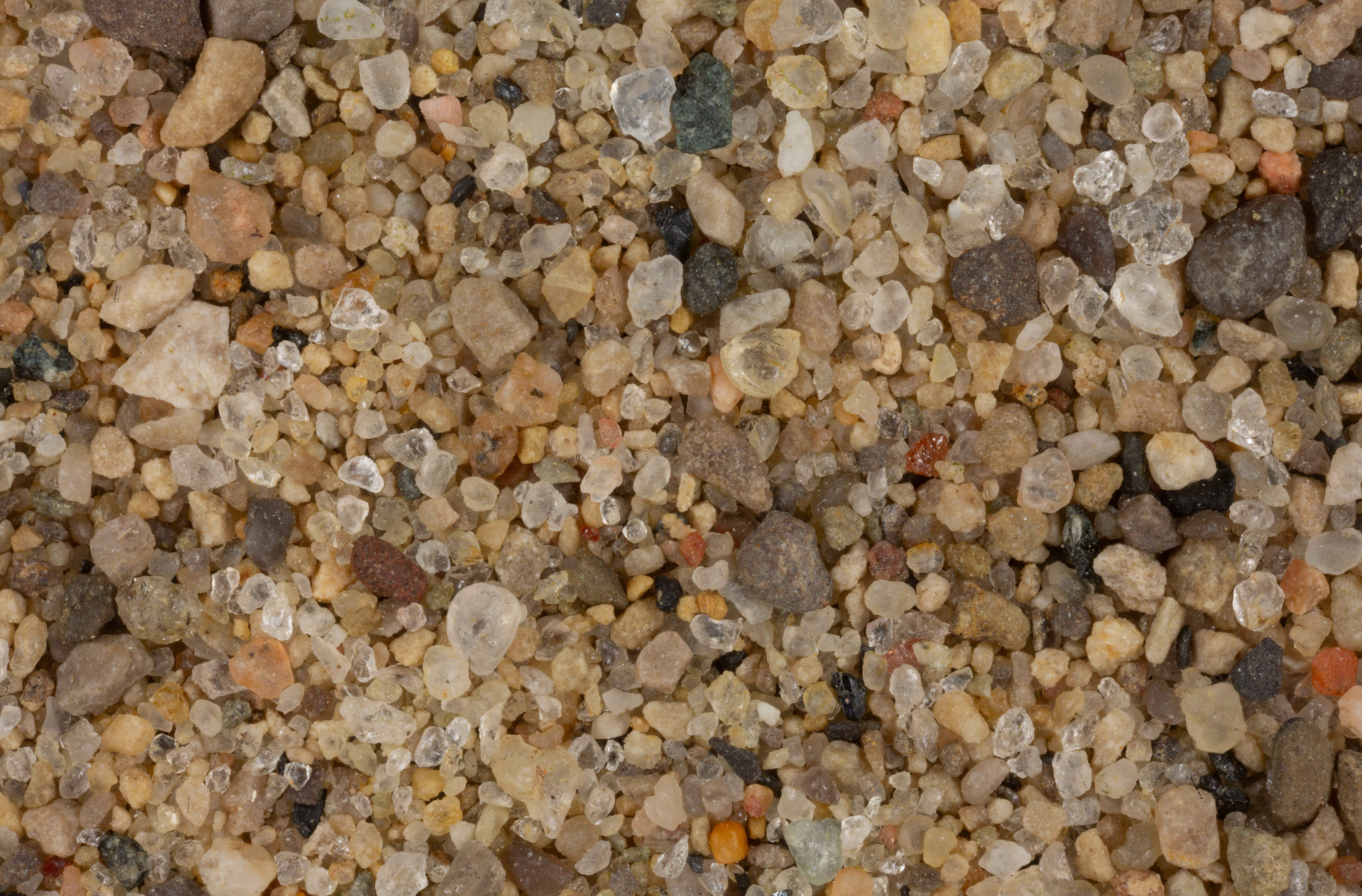
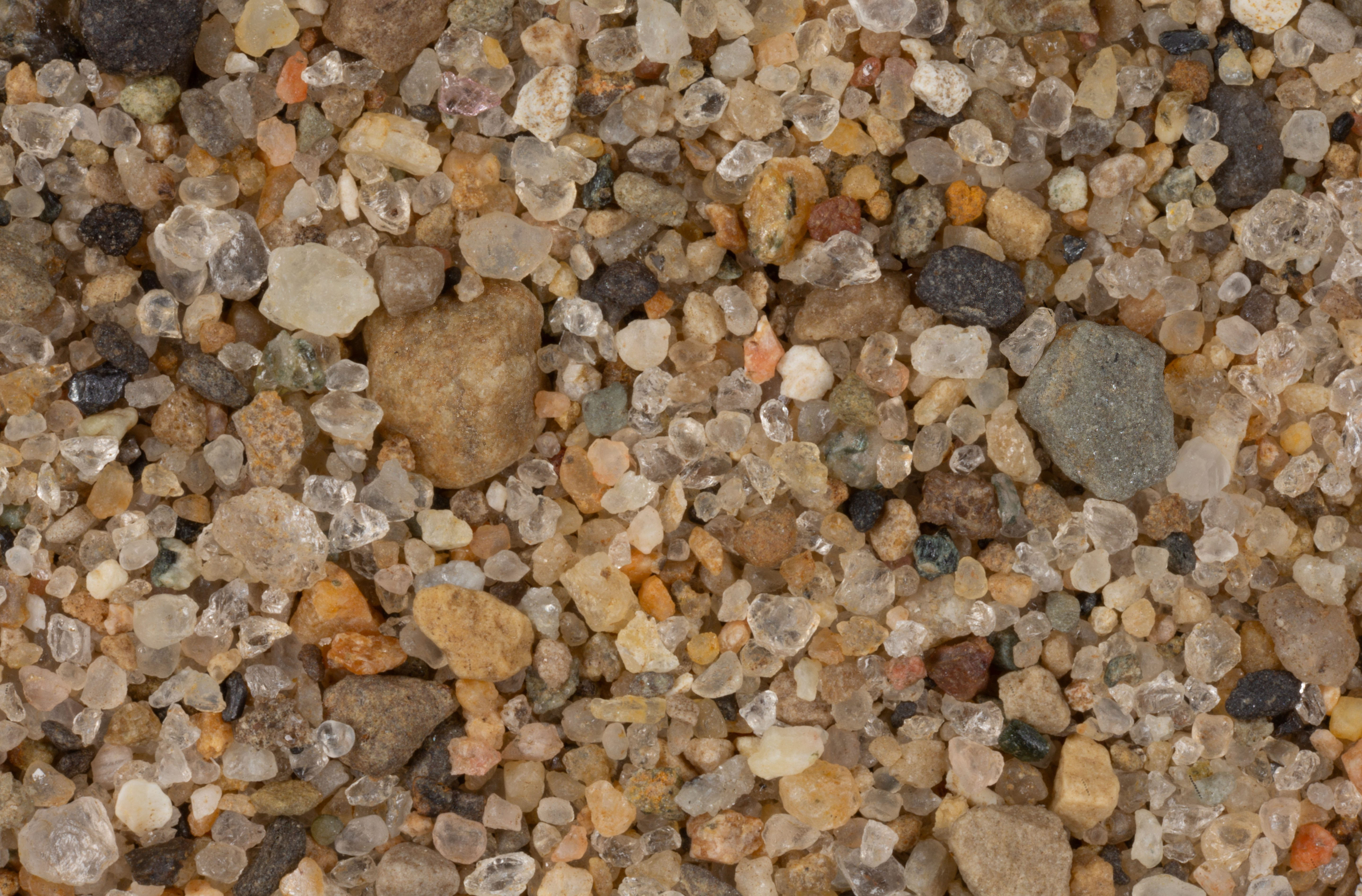
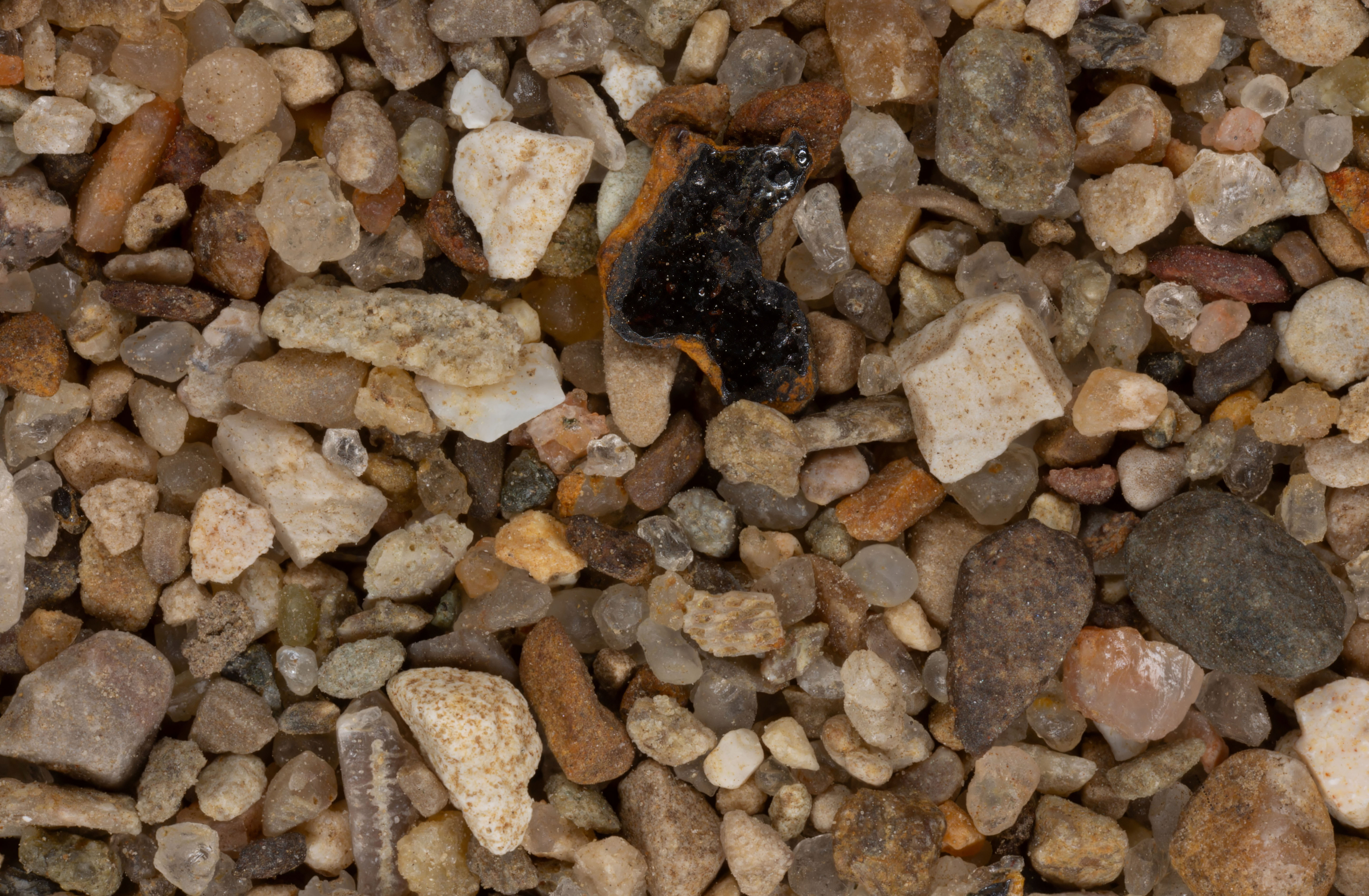
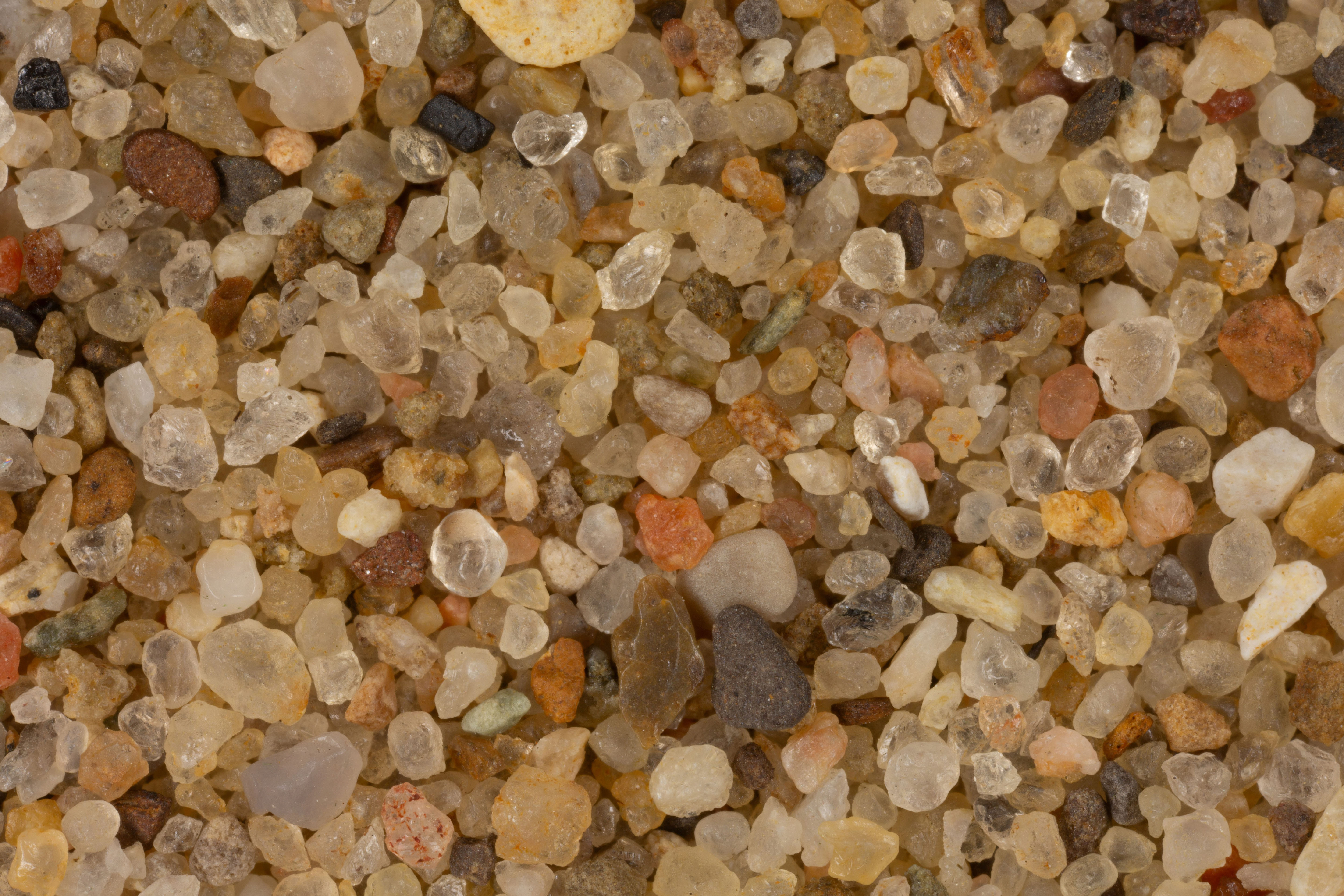
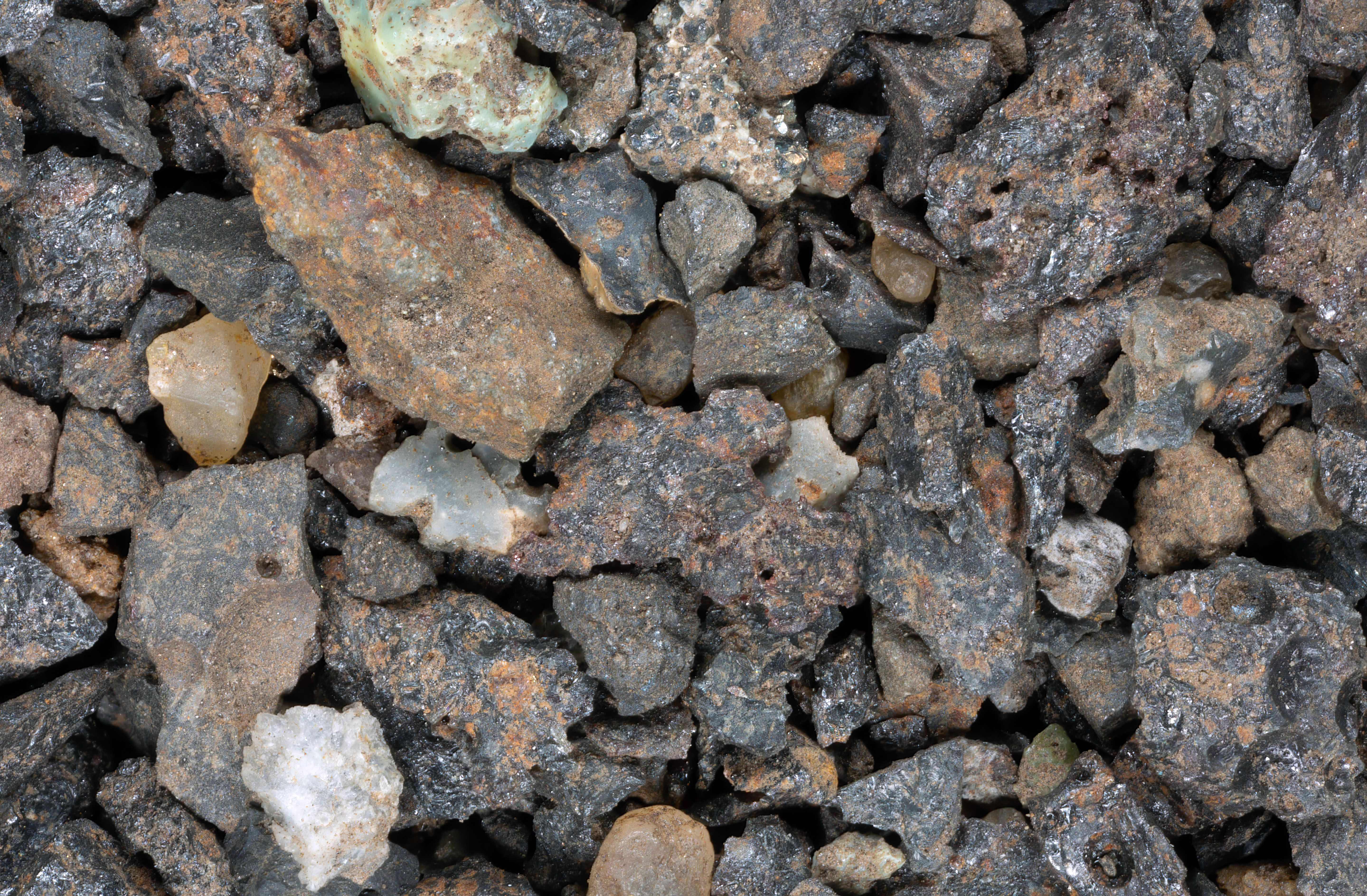
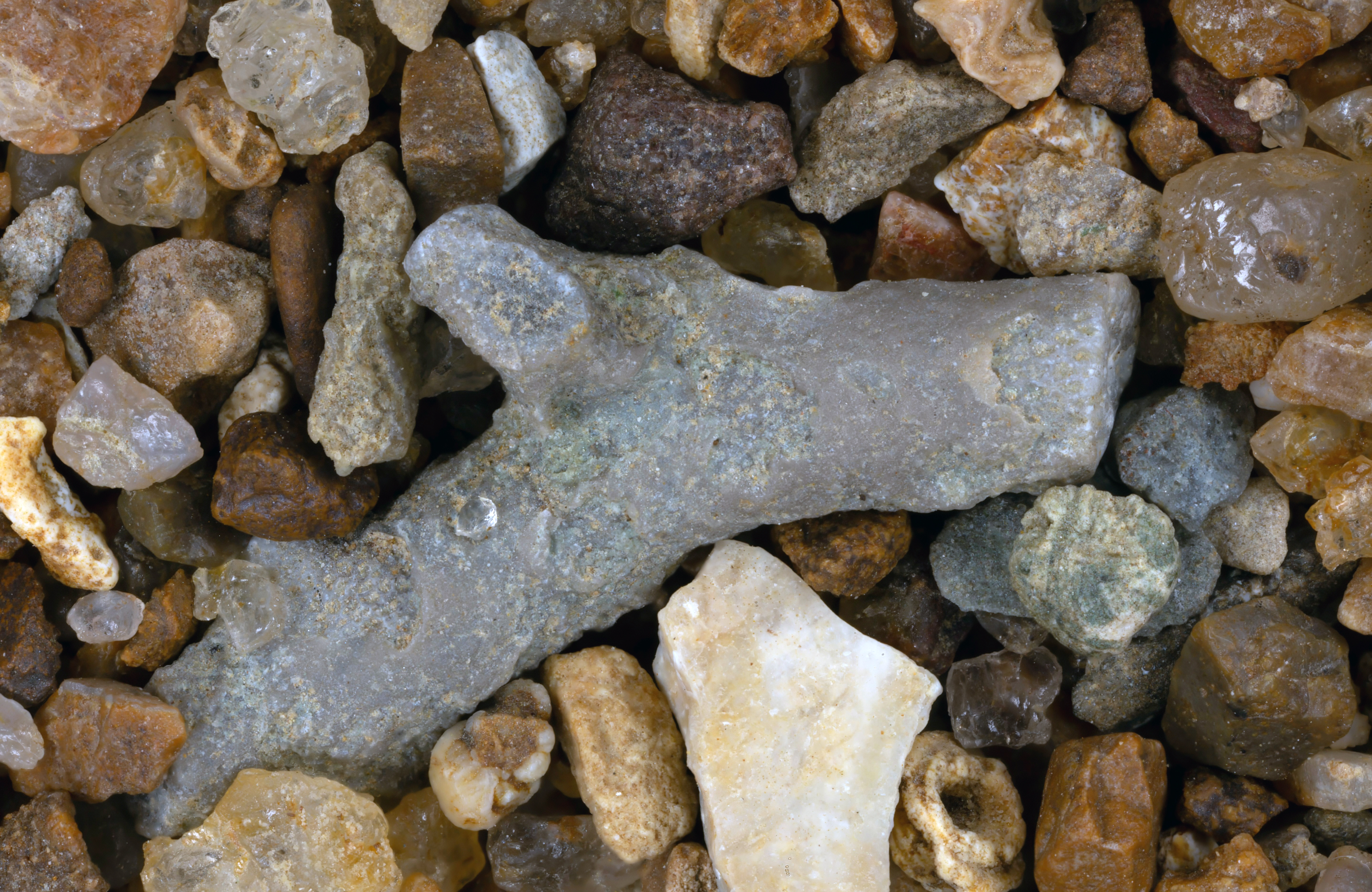
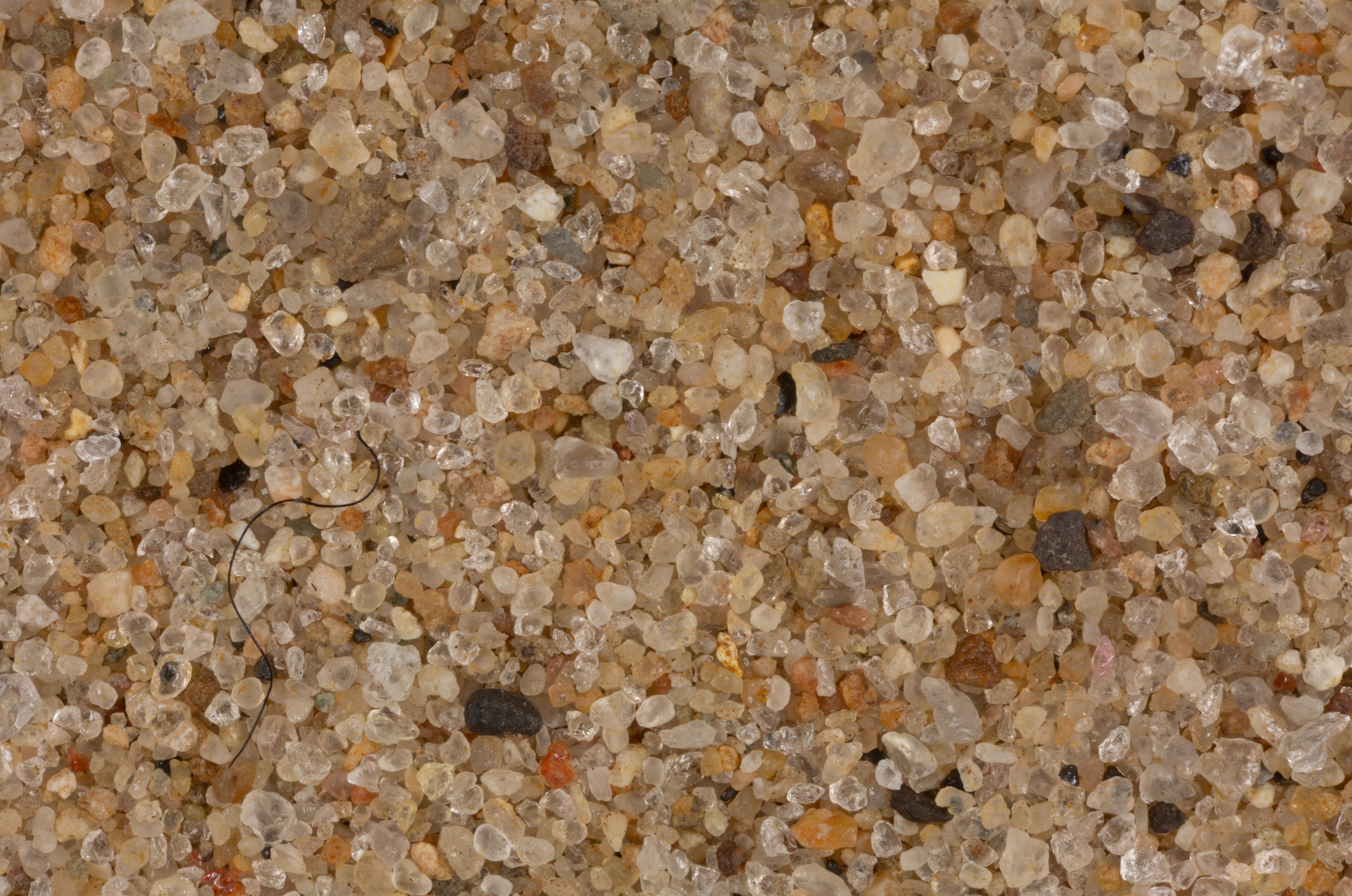
OHIO SAND SAMPLES
Click on Map to go to USGS Site
LOCATION
CLICK ON IMAGE FOR HIGH RES.
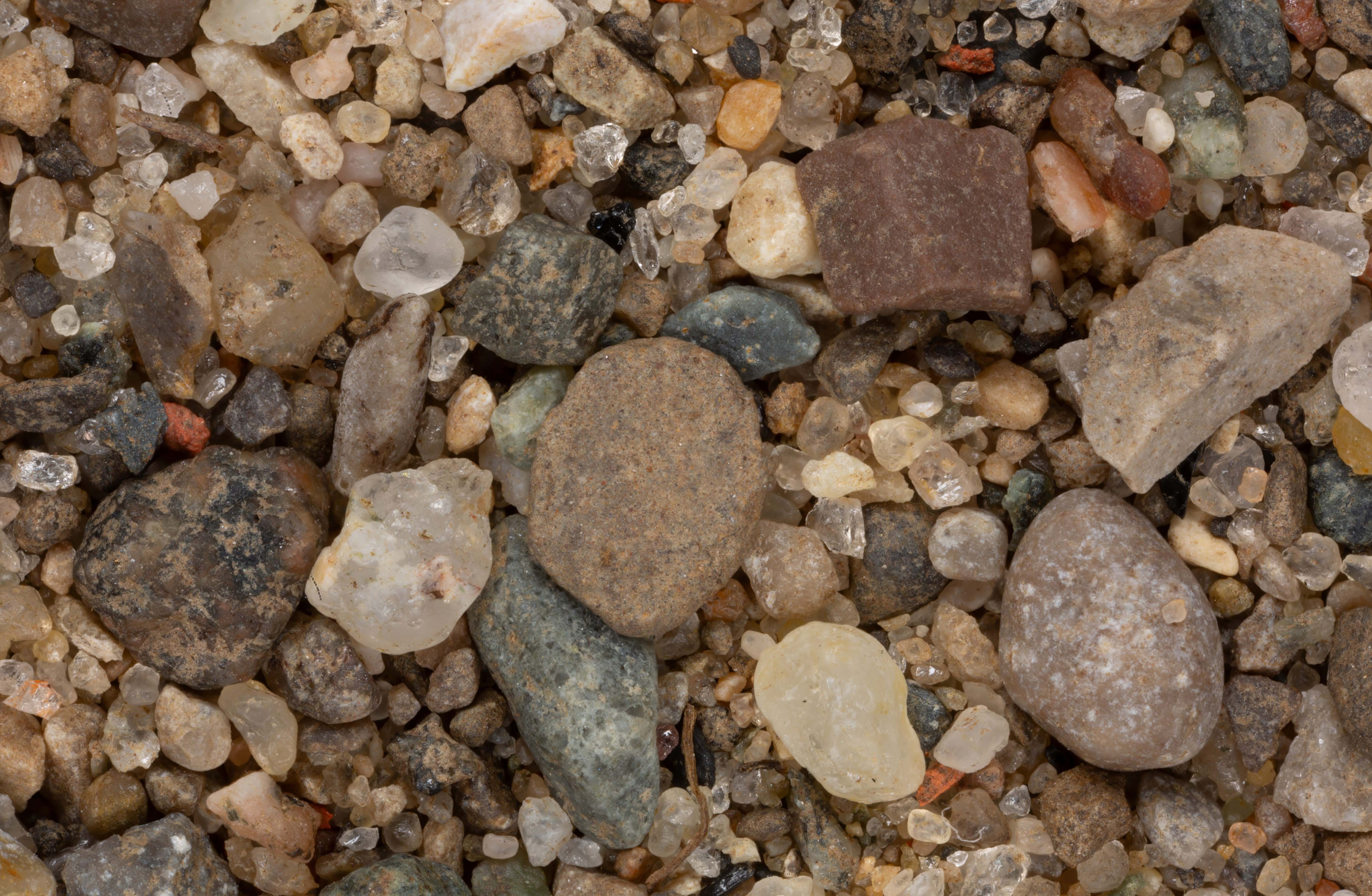
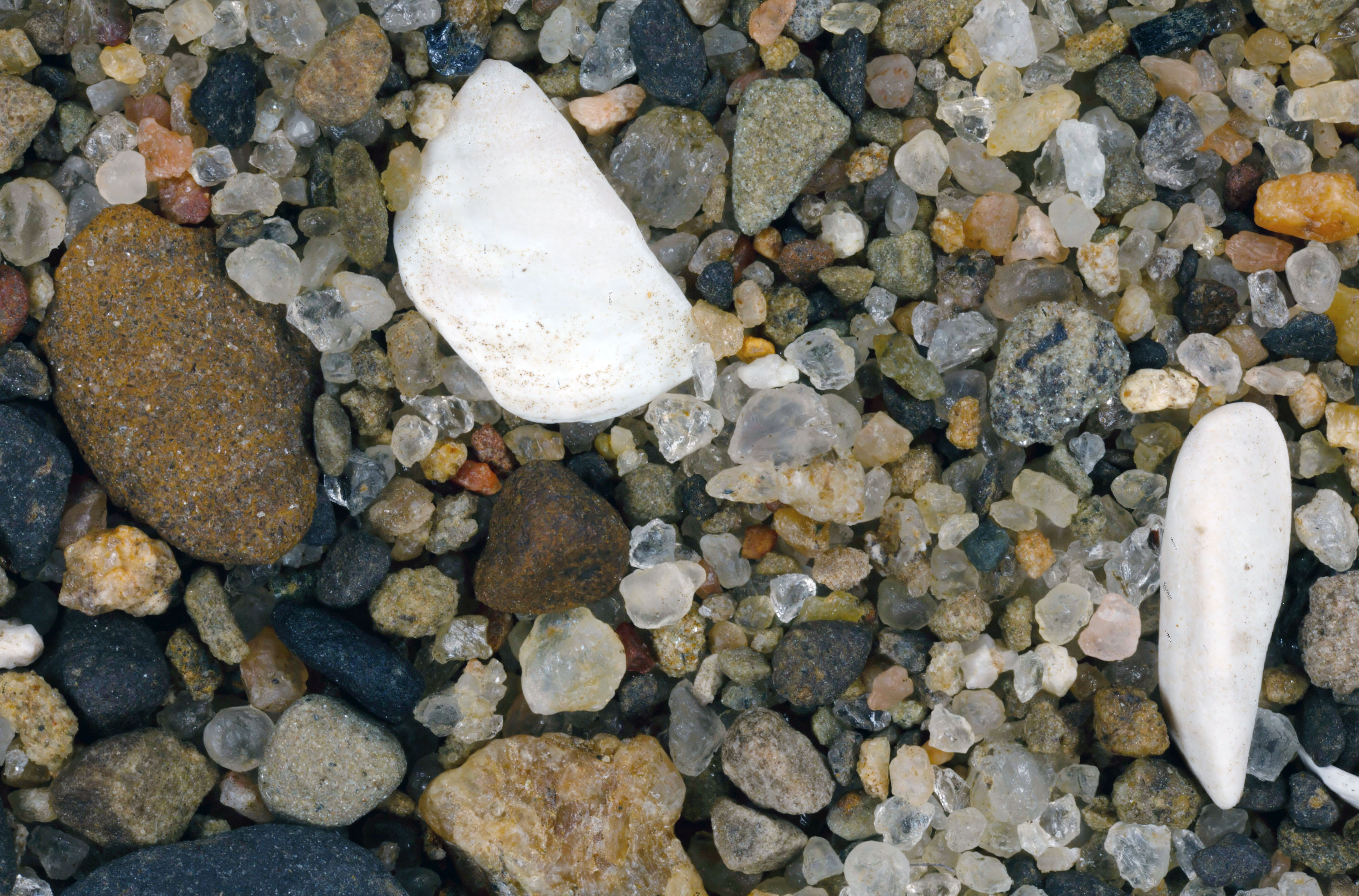
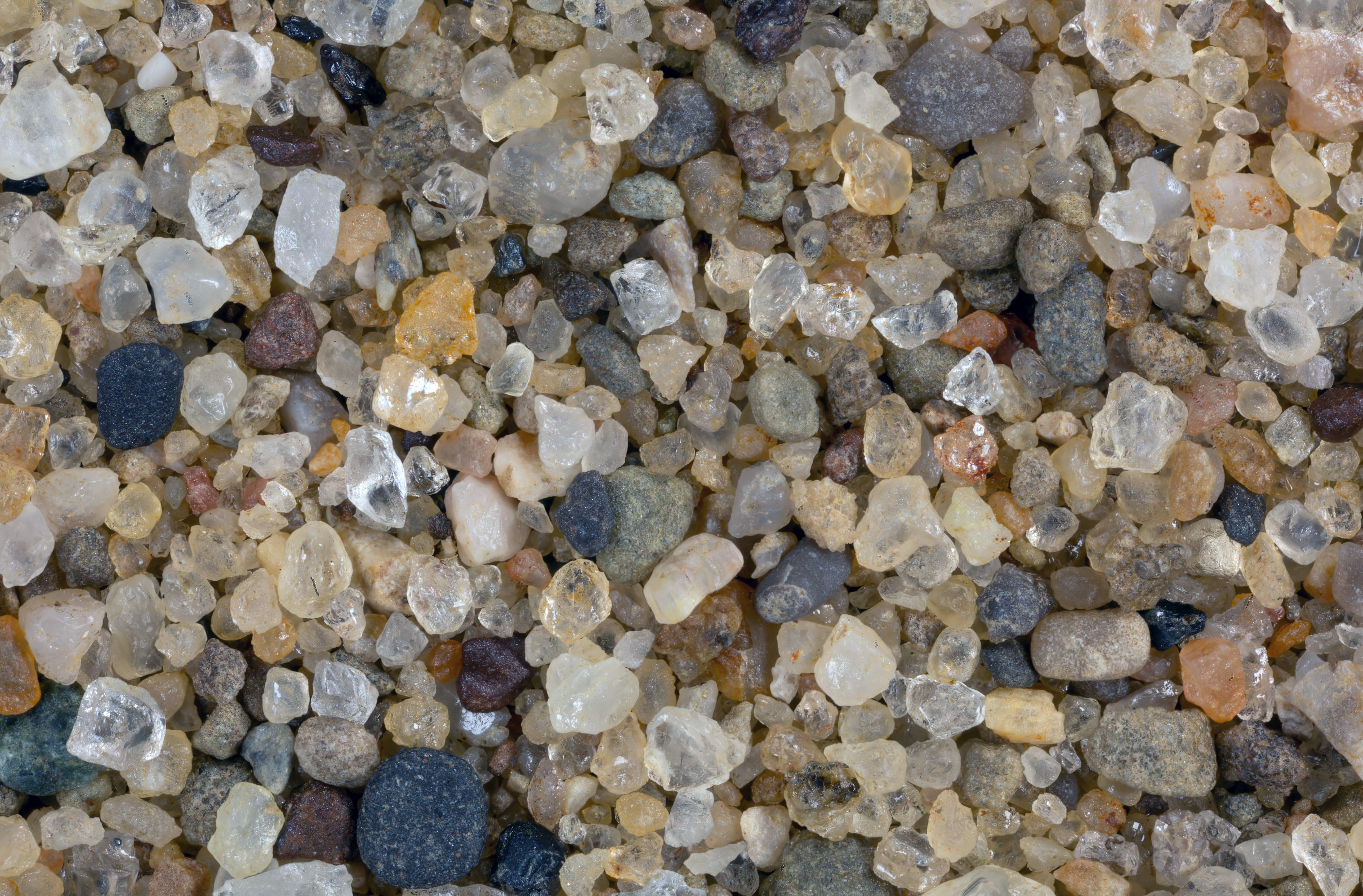
Lake Pioneer 41.67N, 84.55W
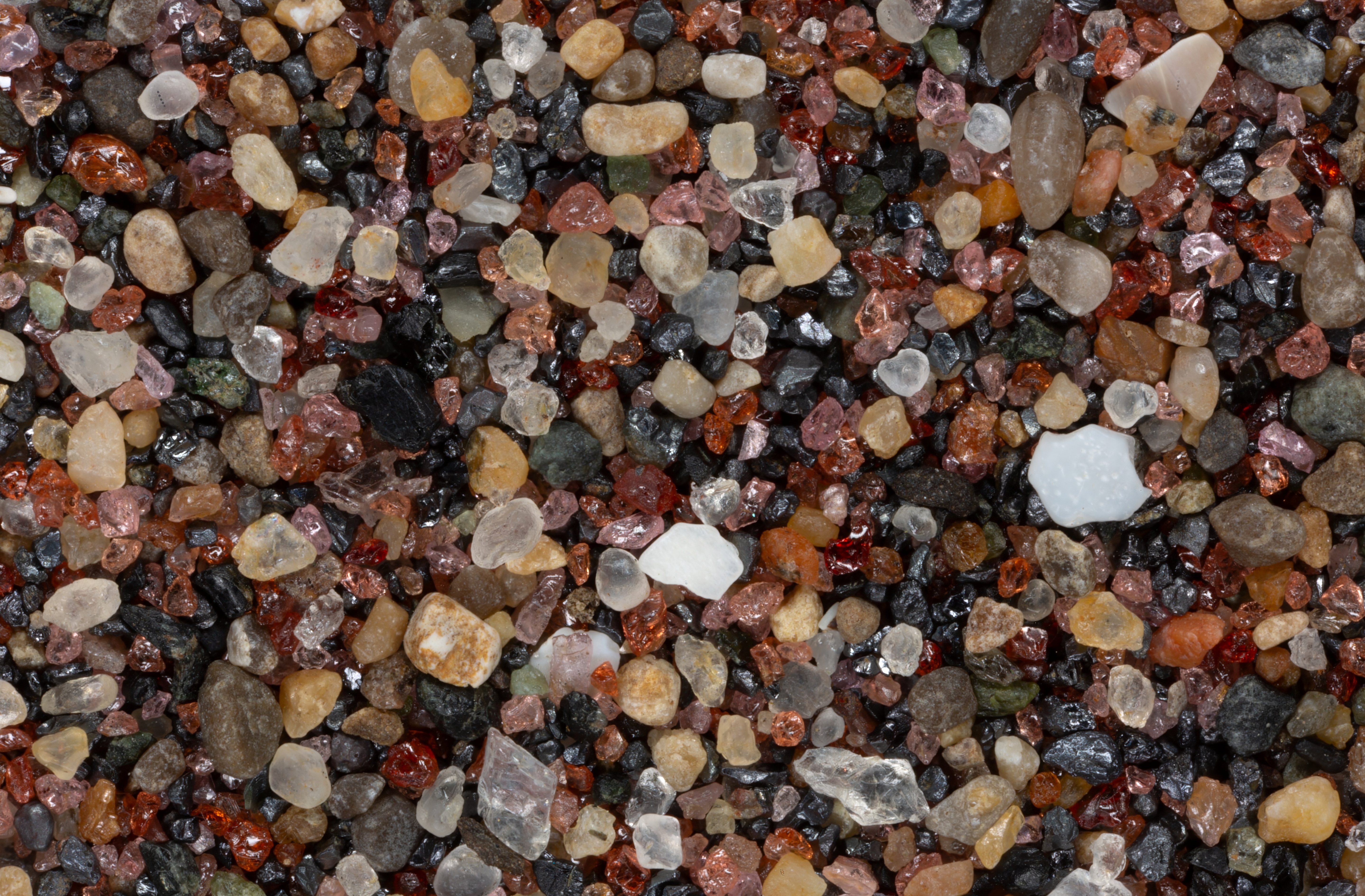
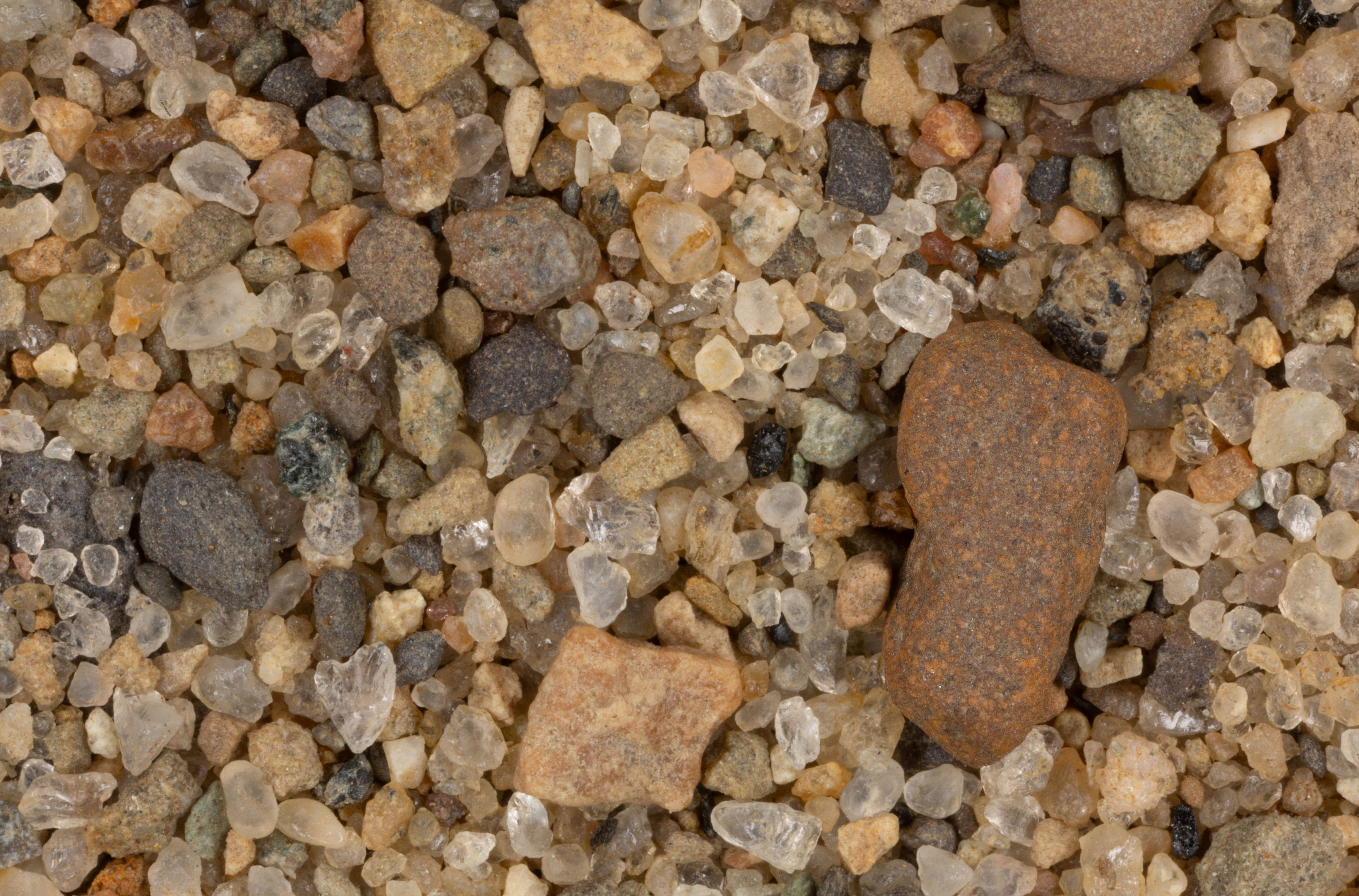
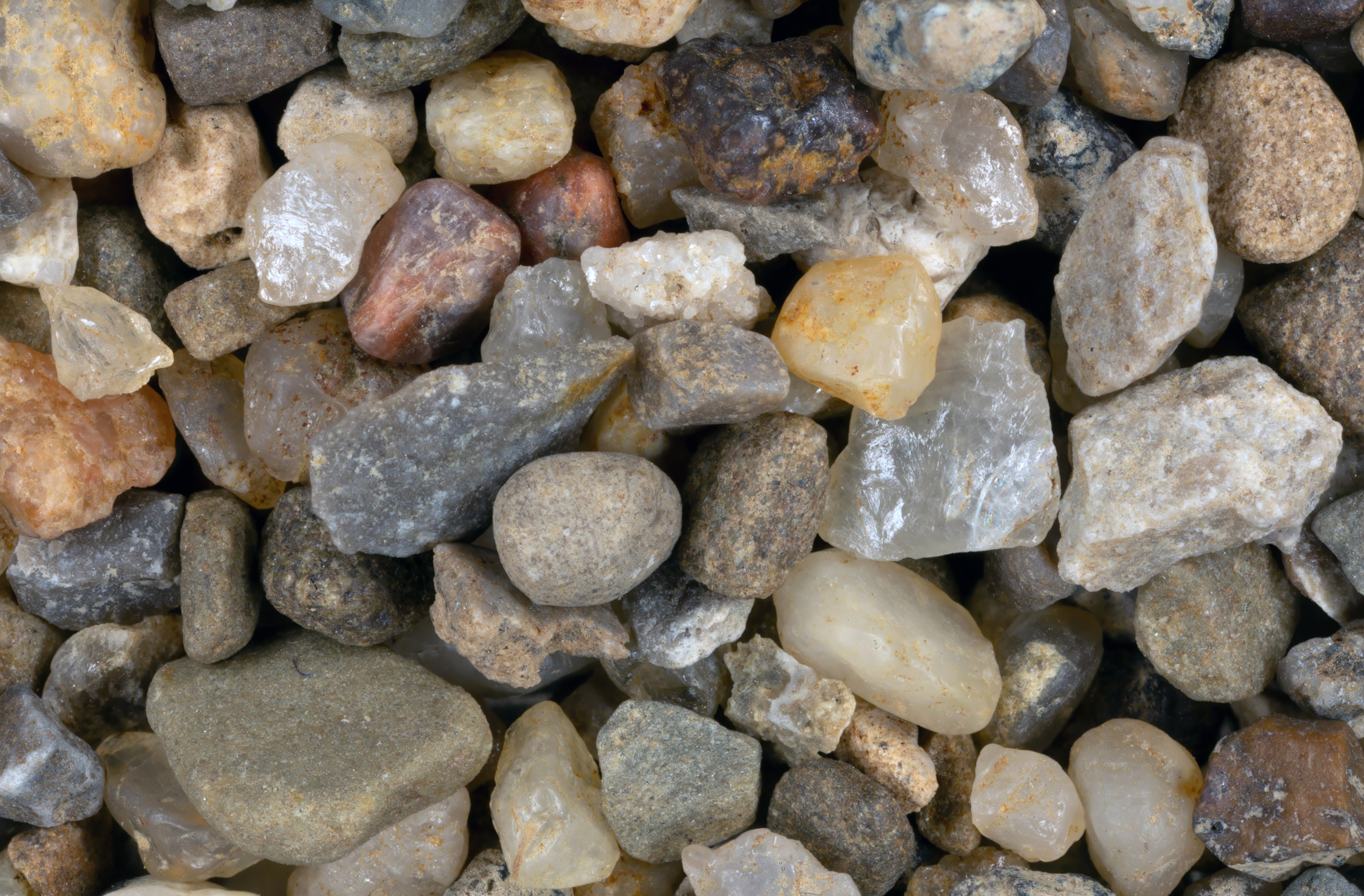
Paleo Beach State Park 41.63N, 83.18W
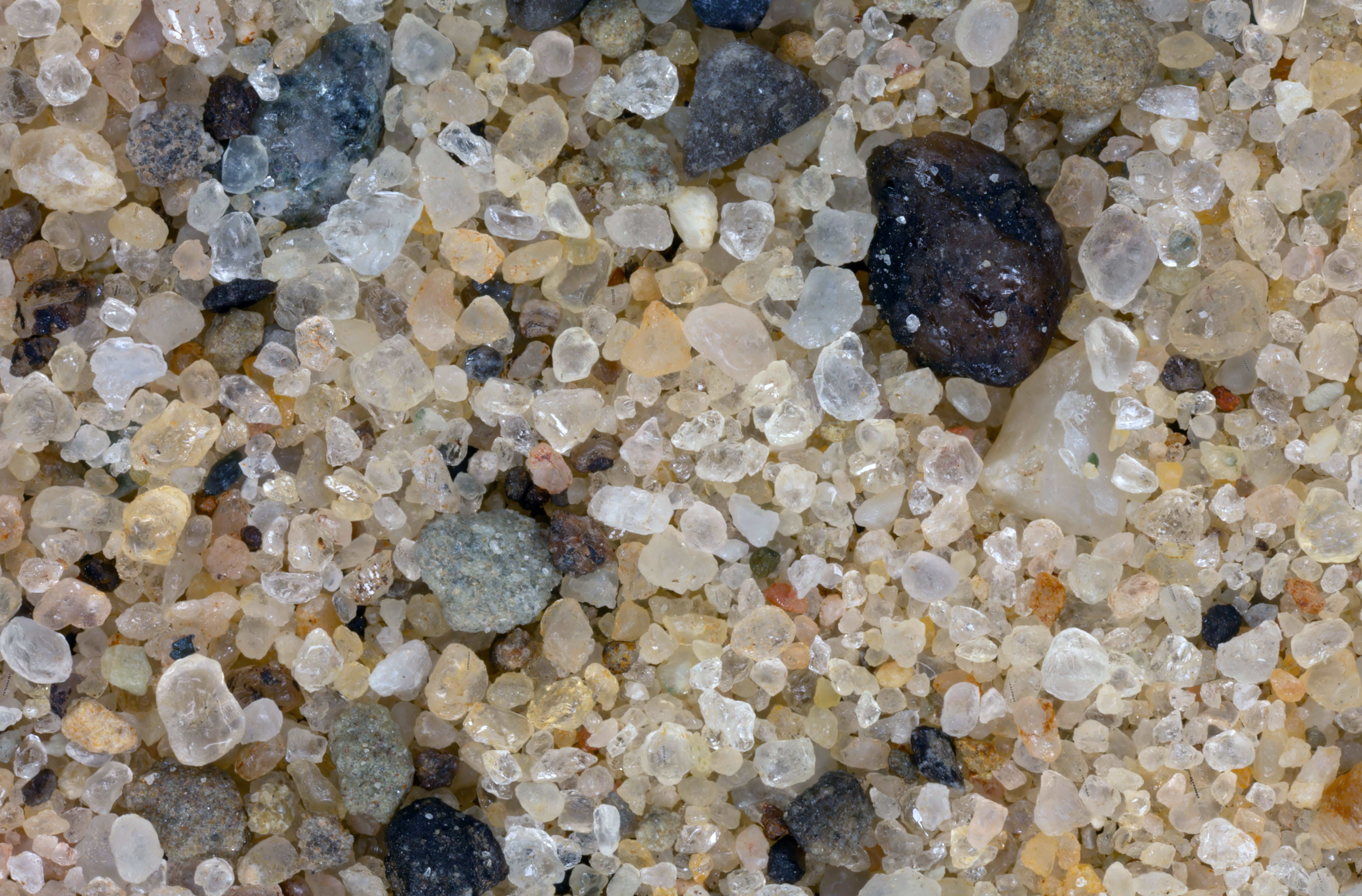
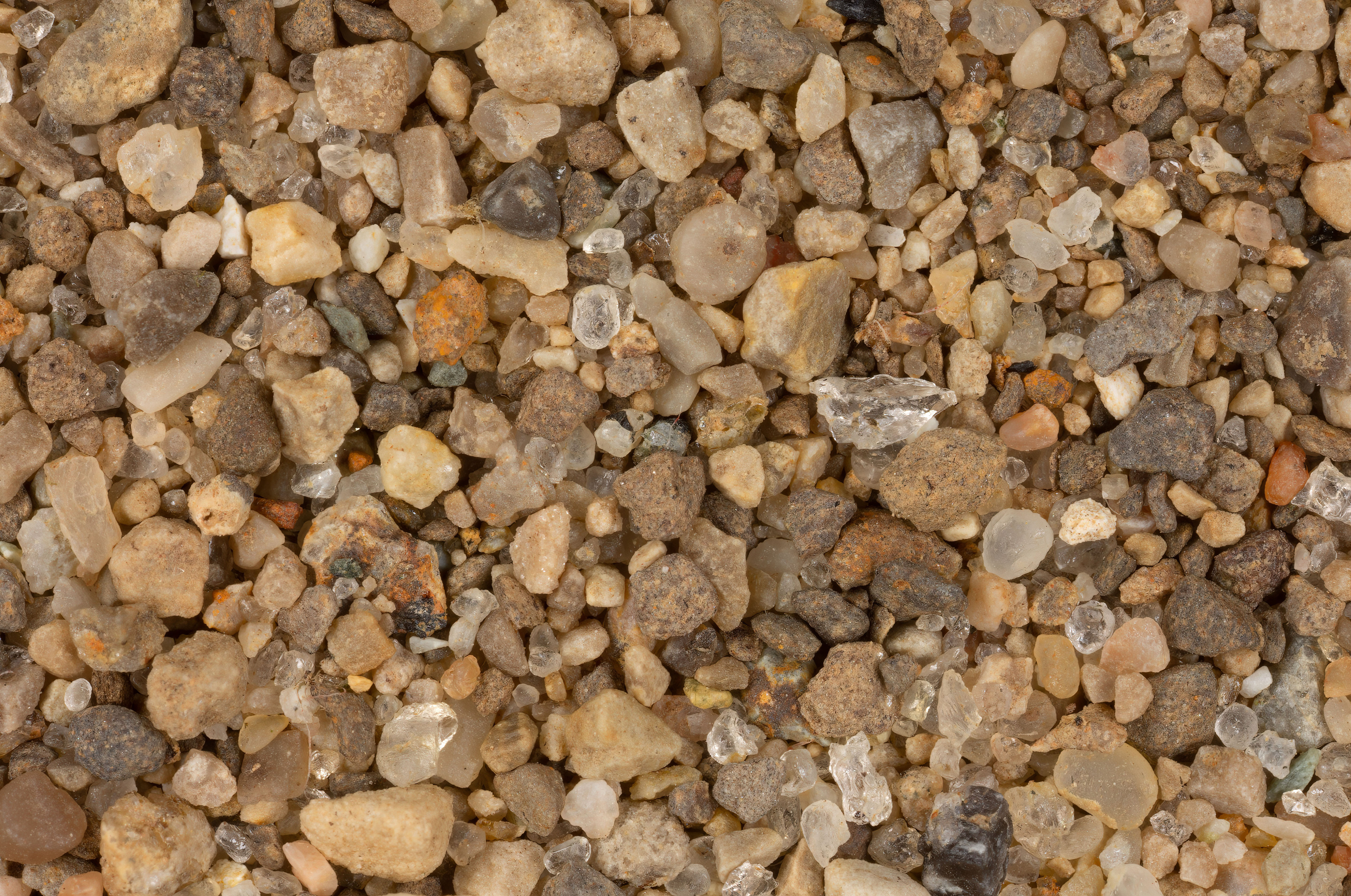
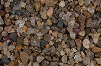
Arms Sand & Gravel Quarry 41.46N, 81.19W
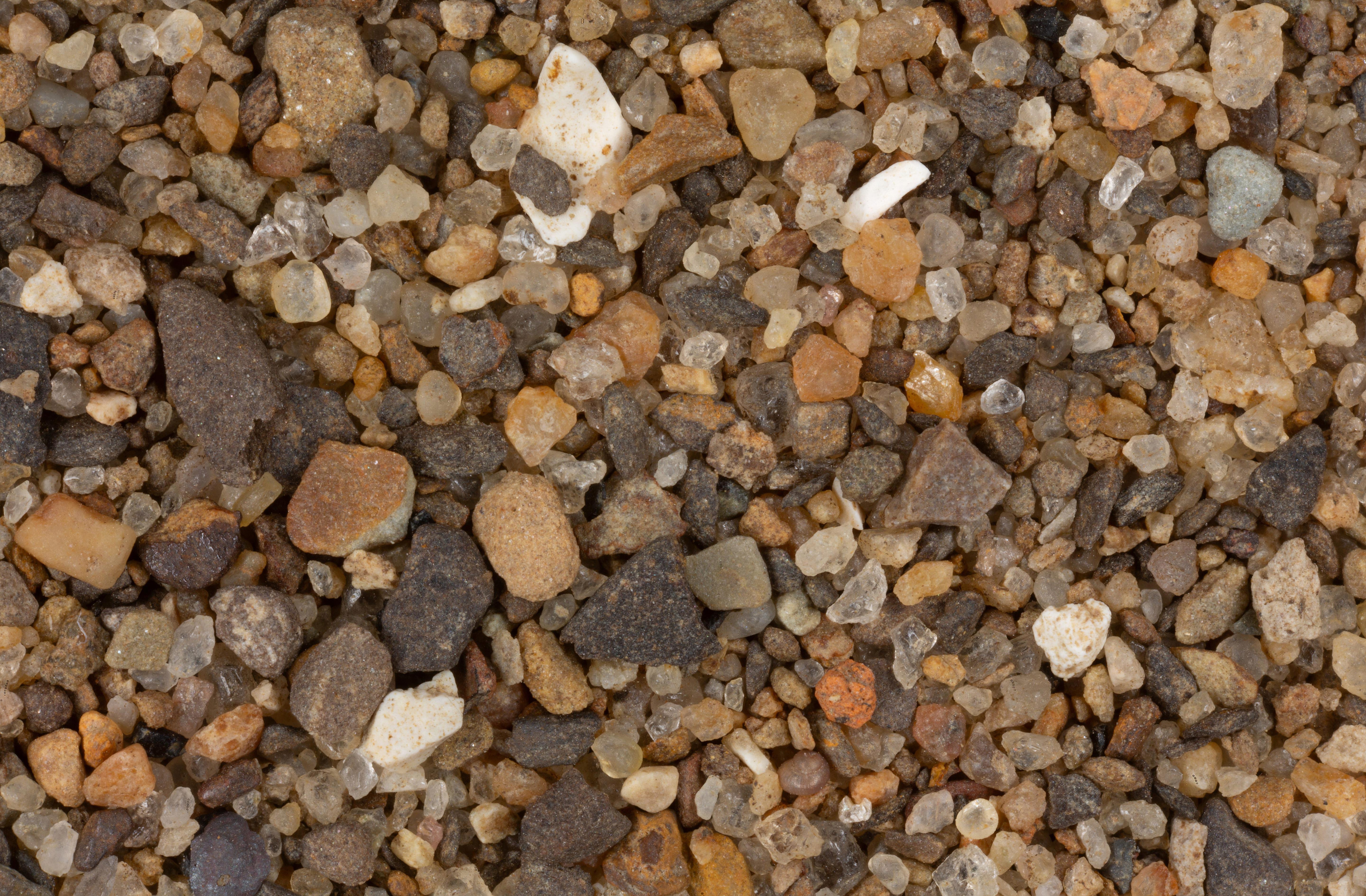
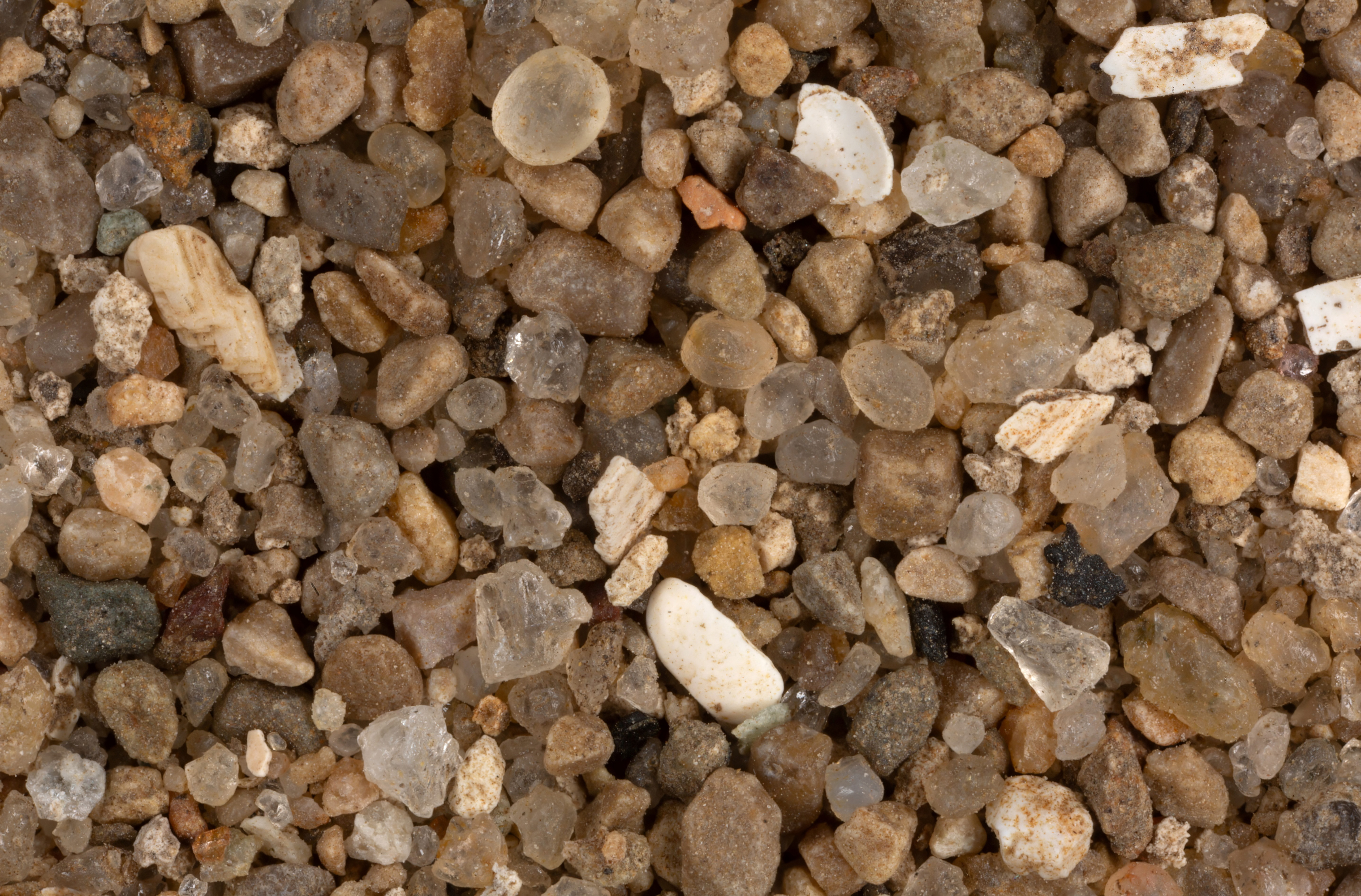
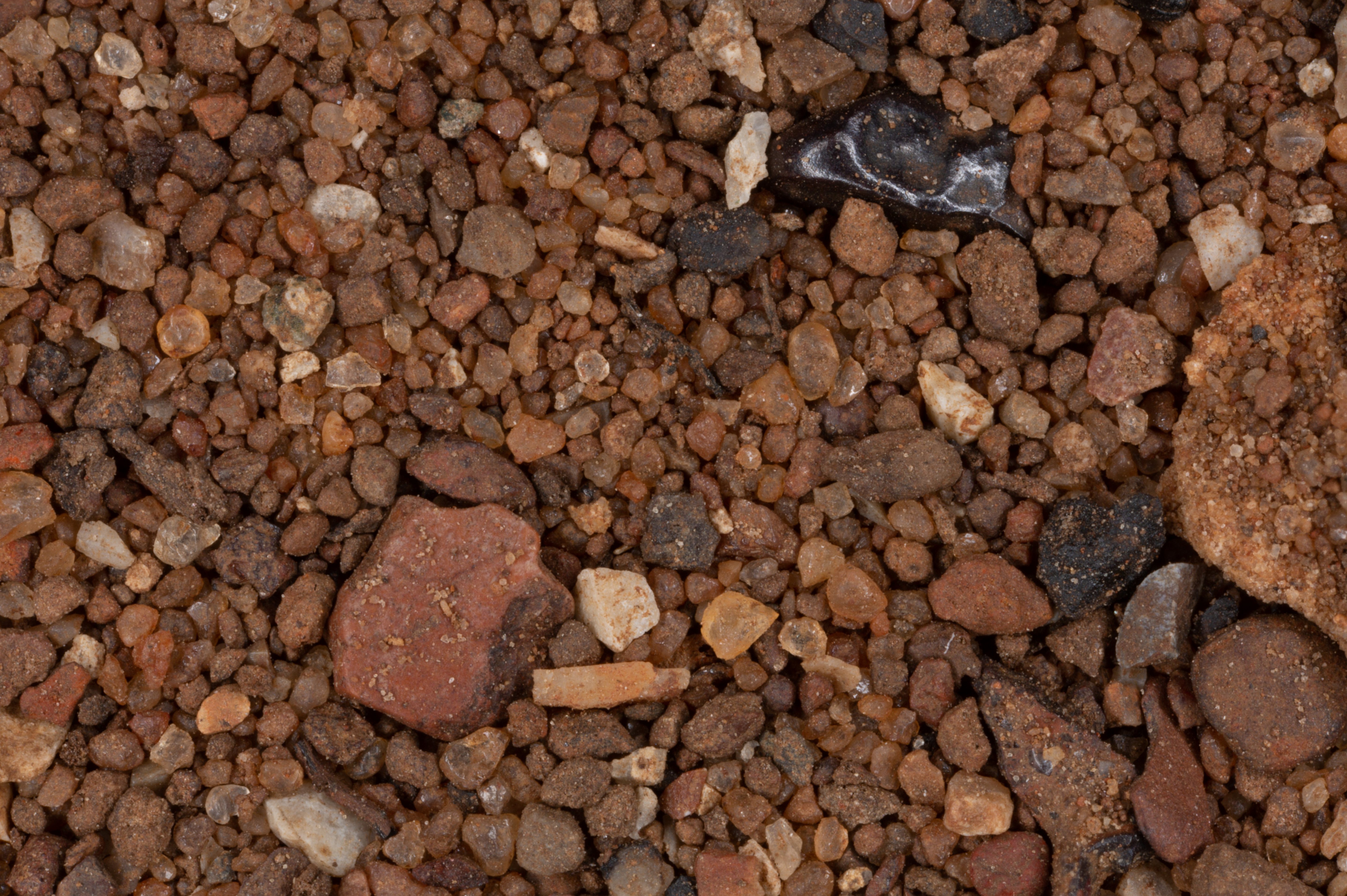
Geauga County 41.45N, 81.19W
Port Clinton 41.42N, 82.93W
Huron 41.40N, 82.57W
Bowling Green 41.36N, 81.67W
Norwalk Reservoir #3 41.23N, 82.59W
Blanchard River, Findlay 41.04N, 83.63W
Mt. Simon Sandstone 40.80N, 81.38W
Sandusky River (3 Samples) 40.80N, 82.99W
Lexington 40.70N, 82.61W
Mt. Gilead State Park 40.55N, 82.81W
Logan County 40.39N, 83.76W
Olentangy River 40.30N, 83.04W
Great Miami River 40.29N, 84.15W
Dillon Beach 40.02N, 82.12W
Vanadium Spoils Pile 39.99N, 81.56W
Mad River, Springfield 39.95N, 83.85W
The Narrows Reserve 39.69N, 84.03W
Seven Mile Creek 39.62N, 84.65W
Deer Creek 39.61N, 83.24W
Luther Warren Peace Park 39.44N, 83.85W
Point Bar, Lebanon 39.42N, 84.24W
Hocking River 39.39N, 82.15W
Union Carbide Slag Pile 39.37N, 81.53W
Serpent Mound Complex 39.04N, 83.76W
Mt. Orab 38.99N, 83.89W
Tar Creek, Miami 36.87N, 84.85W
RETURN TO
HOME
GO TO
PRE 2016 OHIO