 |
 |
 |
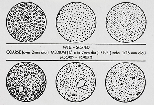
GRAIN DISTRIBUTION CHARACTERISTICS (AGI CHART) |
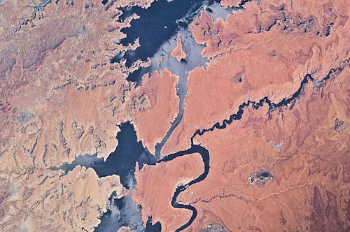
International Space Station 400mm Photograph Image credit: Image Science and Analysis Laboratory, NASA Johnson Space Center |
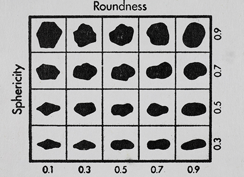
GRAIN SHAPE CHARACTERISTICS
(PREPARED BY GAMMA ZETA CHAPTER , SIGMA GAMMA EPSILON, KENT STATE UNIVERSITY - AGI CHART))
Roundness is the degree of smoothing due to abrasion of sedimentary particles. It is expressed as the ratio of the average radius of curvature of the edges or corners to the radius of curvature of the maximum inscribed sphere.
The sphericity of a particle is: the ratio of the surface area of a sphere (with the same volume as the given particle) to the surface area of the particle. |
| |
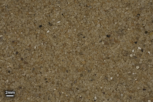
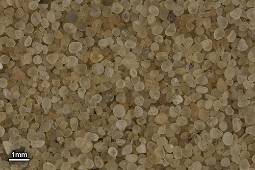
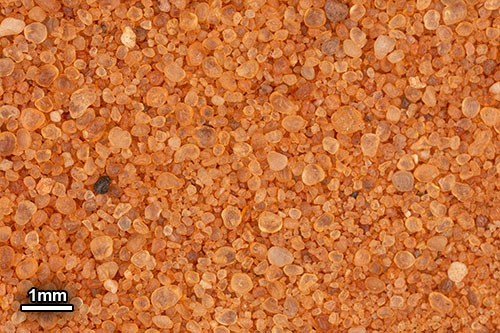
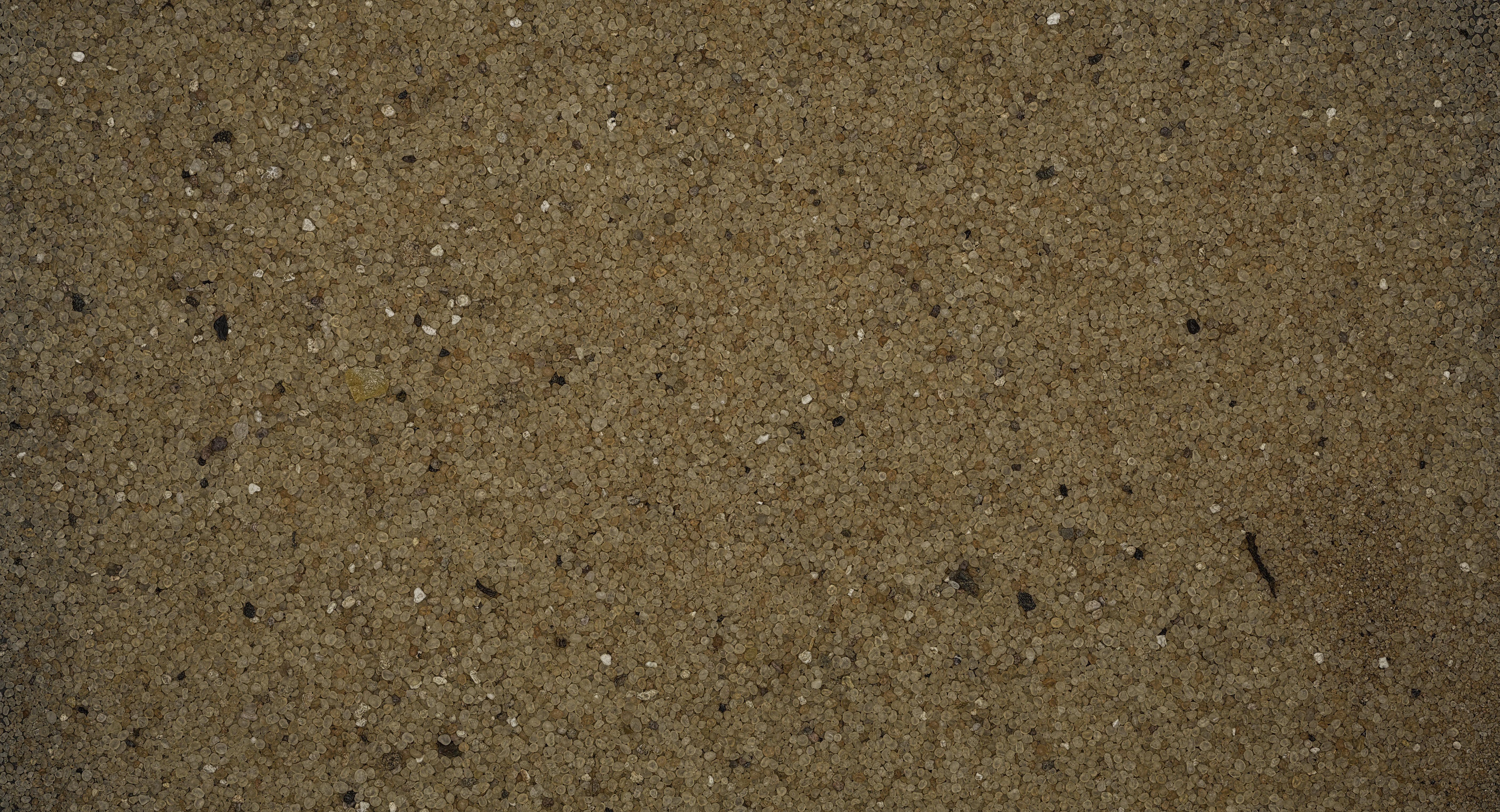
SAMPLE #1 |
|
| |
|
|
 |
 |
 |
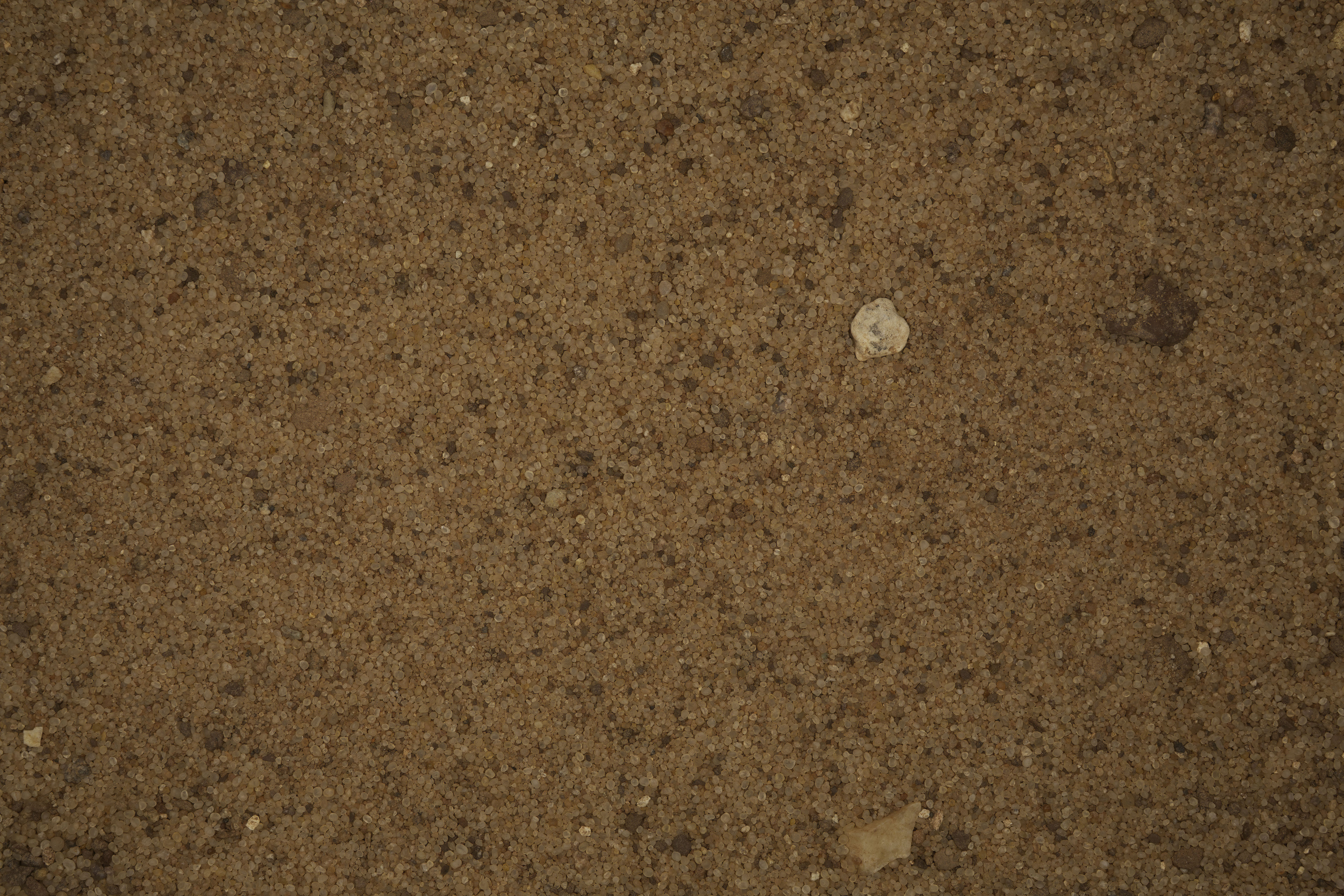
0X IMAGE |
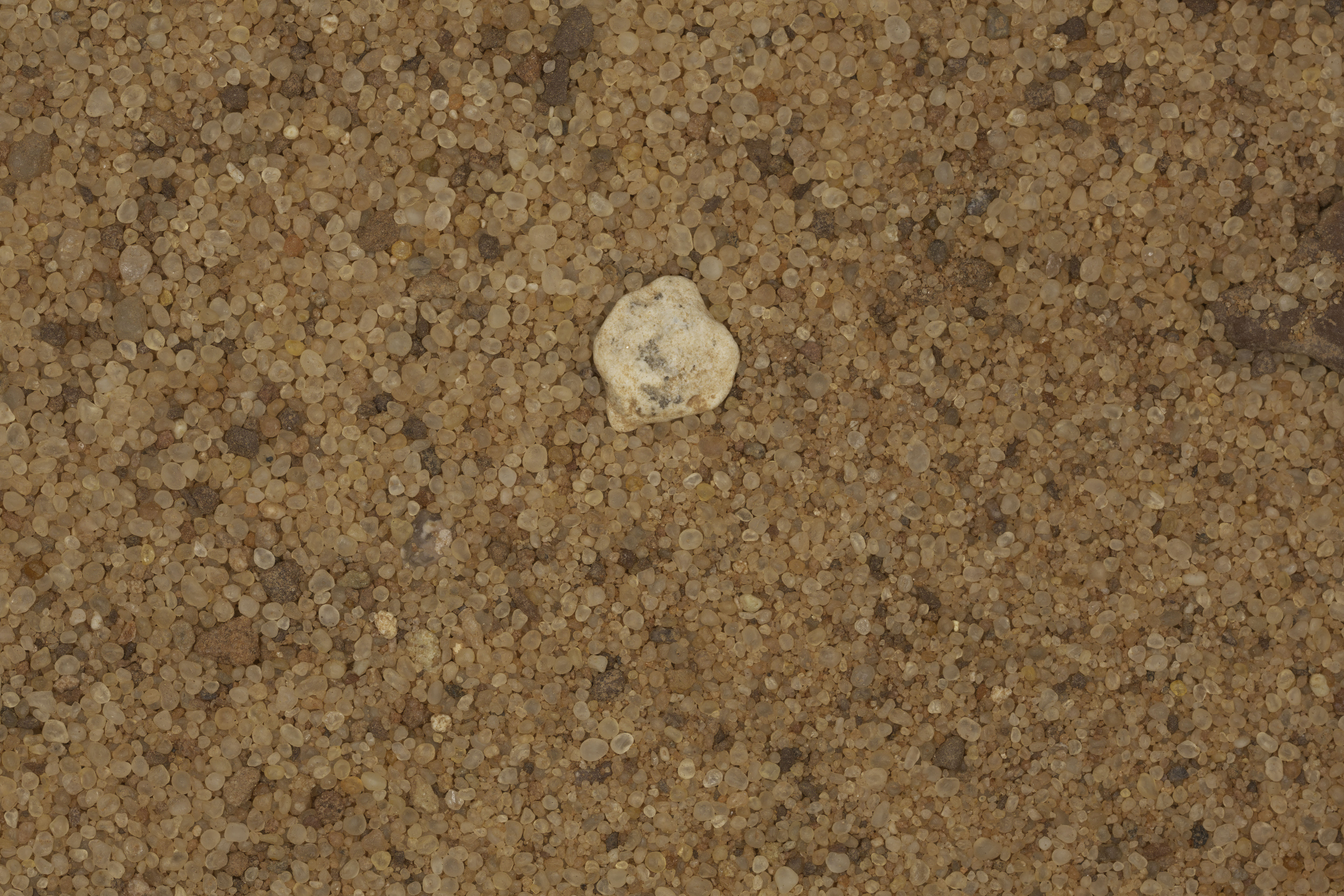
1X IMAGE |
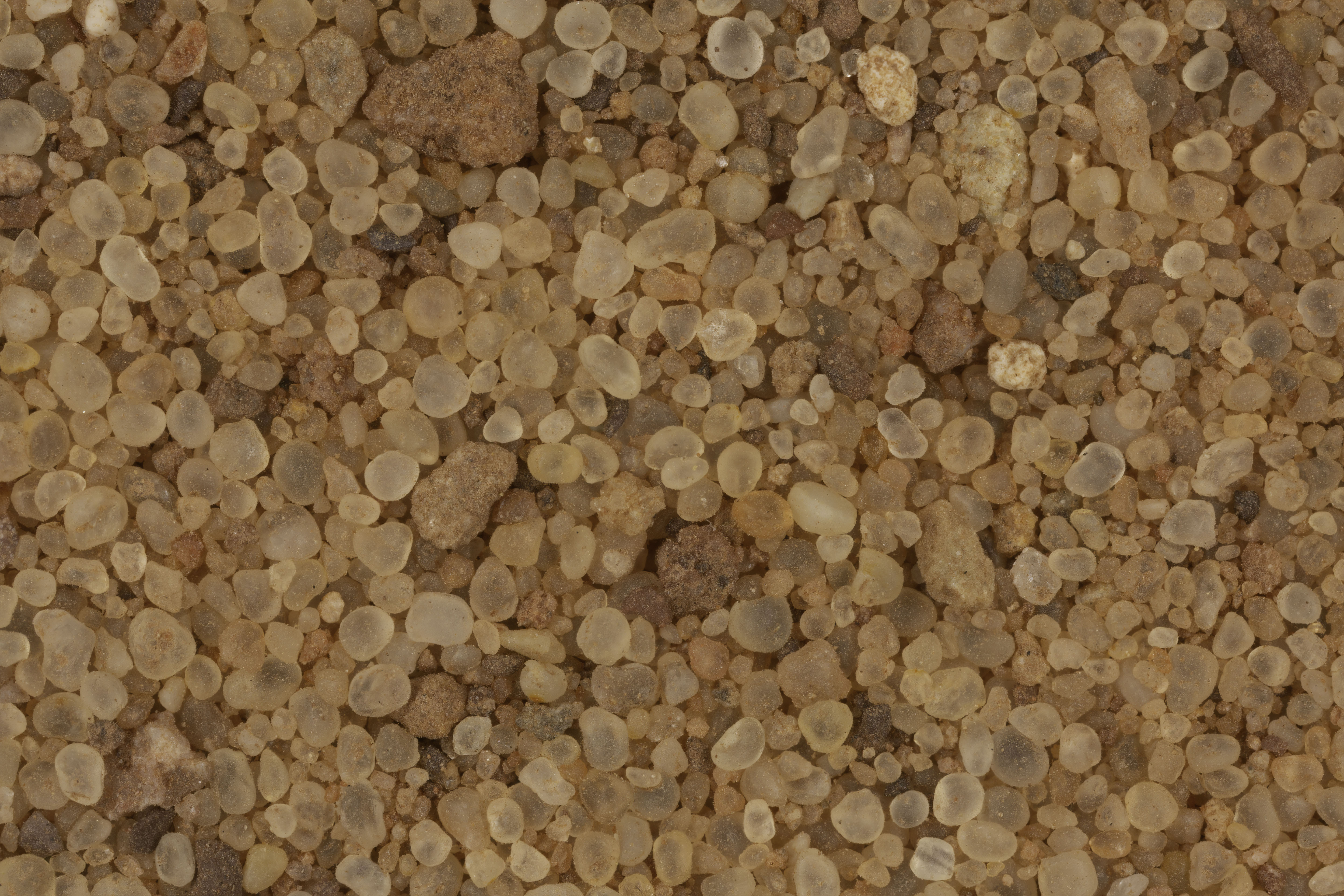
3X IMAGE |
| Click on Image for High Resolution Version |
Click on Image for High Resolution Version |
Click on Image for High Resolution Version |
| |
|
|
| |
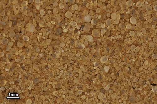
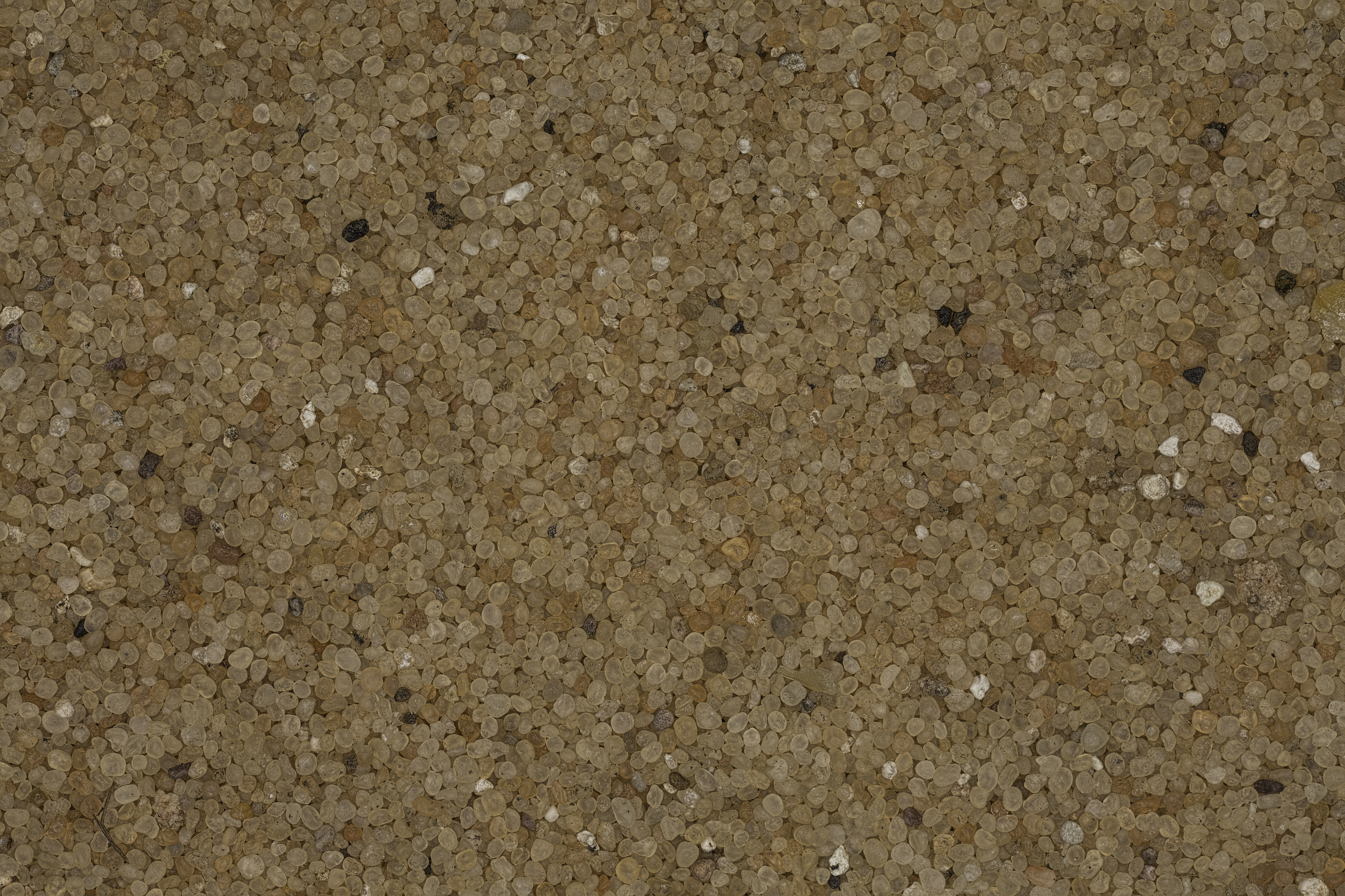
SAMPLE #2 |
|
| |
|
|
 |
 |
 |
0X IMAGE |
1X IMAGE |
3X IMAGE |
| Click on Image for High Resolution Version |
Click on Image for High Resolution Version |
Click on Image for High Resolution Version |
| |
|
|
| |
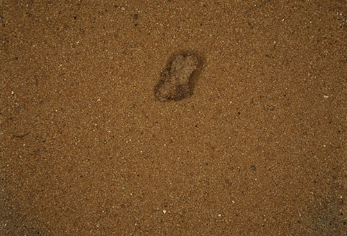
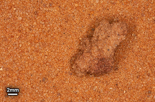
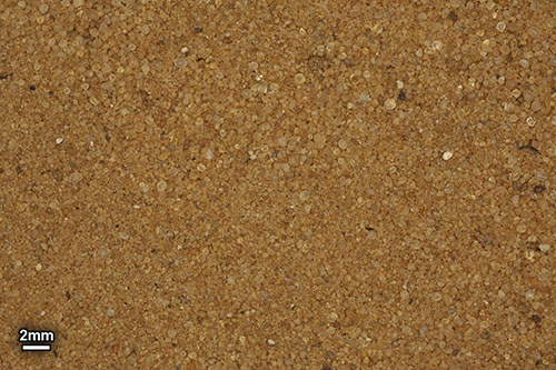
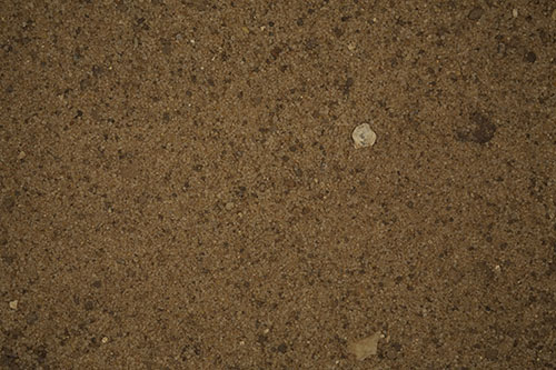
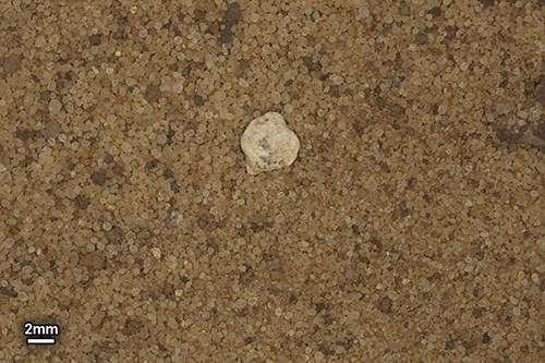
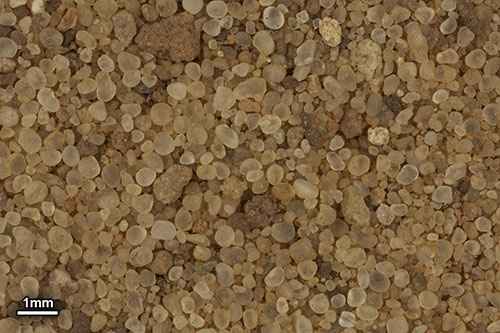
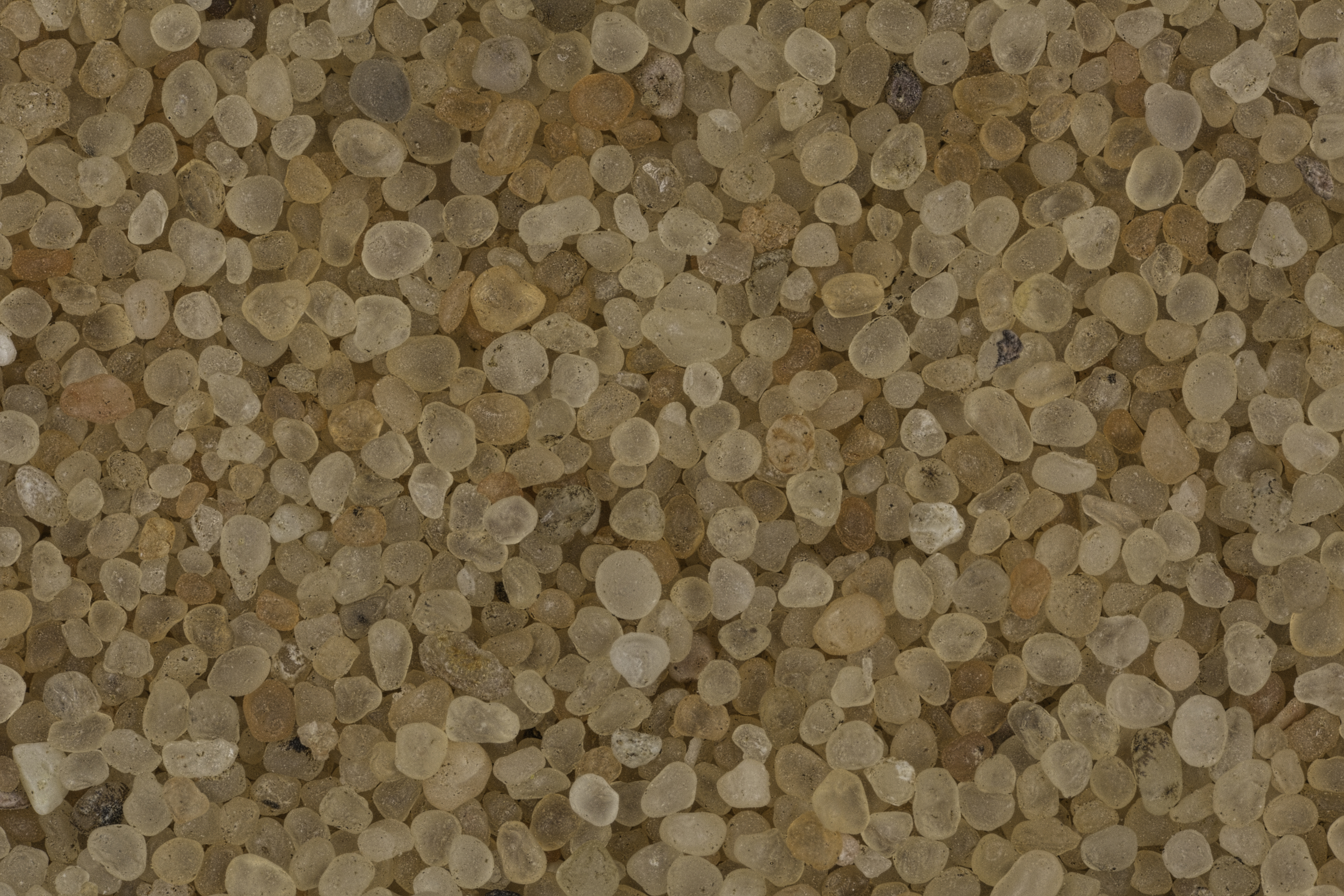
SAMPLE #3 |
|
| |
|
|
| |
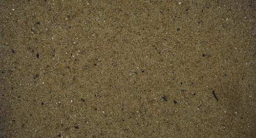
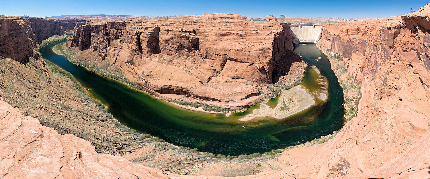
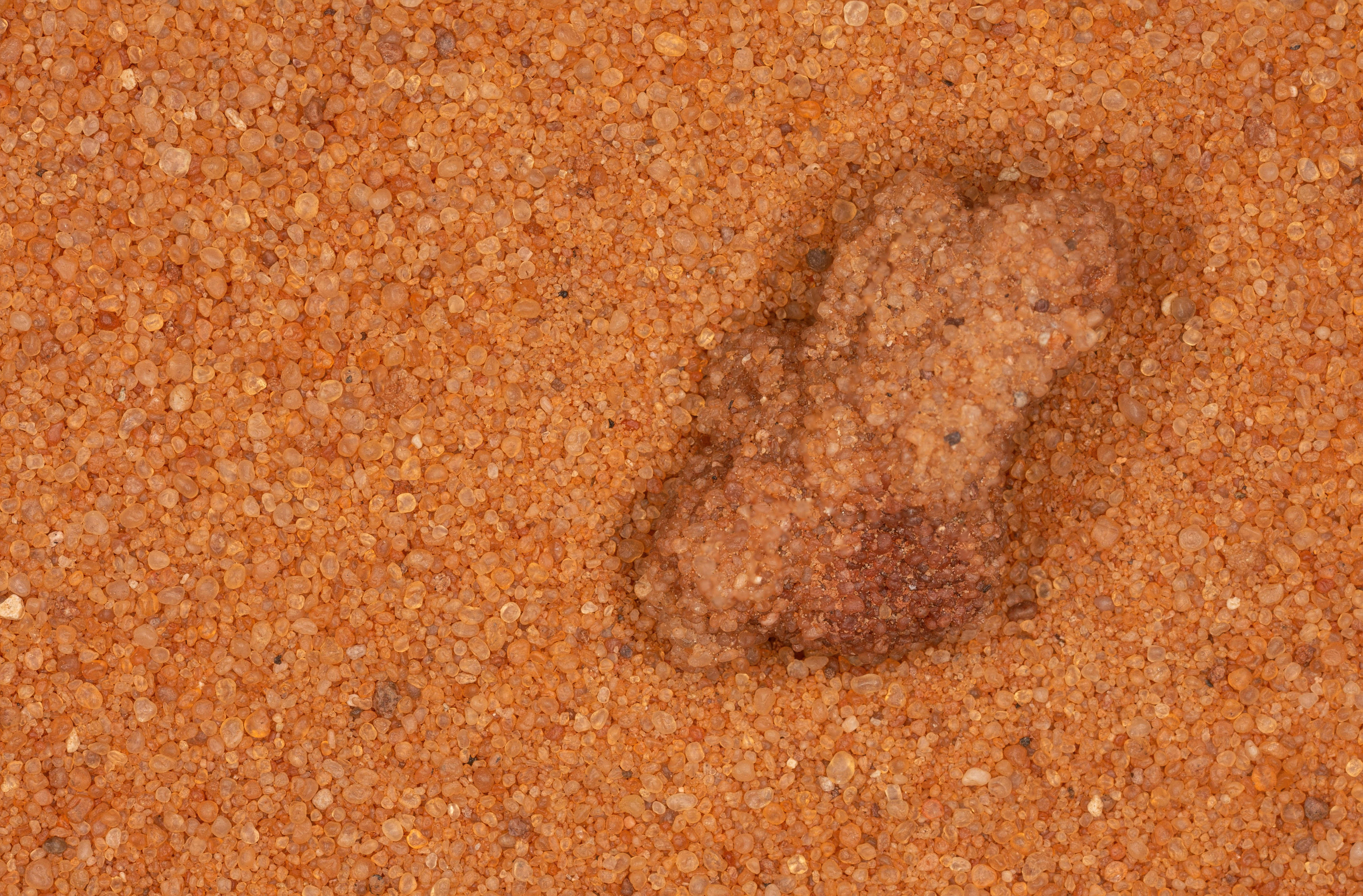
"The color of the terrain in the area around Page and Glen Canyon Dam, both built in the 1950's, is typically and dominantly of reddish sandstone. Now crenulated and ribbed by wind and water over thousands of years, the ancient sand deposits were compressed (over millions of years) and the sand hardened to stone. It makes one ask: Where did the sand come from in the first place? Breathtaking! Although remote, I can understand why people like living there with Lake Powell. The visual landscape is astounding. I collected the red sample from a sand dune located above Glen Canyon Dam at the base of a dome of sandstone. It is very representative of the sand there - uniform in color (red) and texture." Gary Foster |
|
| |
|
|
 |
 |
 |
0X IMAGE |
1X IMAGE |
3X IMAGE |
| Click on Image for High Resolution Version |
Click on Image for High Resolution Version |
Click on Image for High Resolution Version |
| |
|
|
| |
|
|
| |
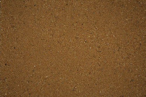
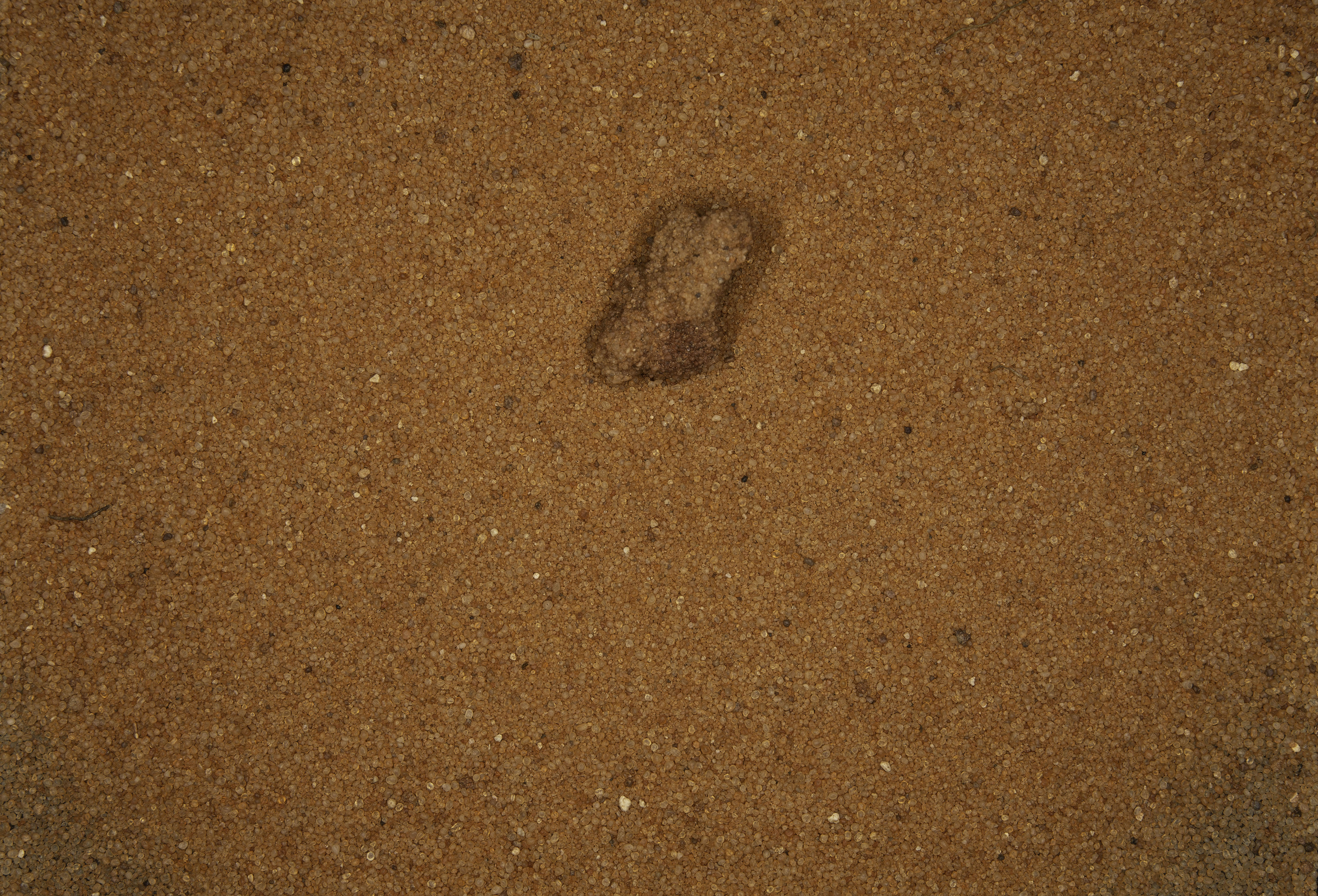
SAMPLE #4 |
|
| |
|
|
| |
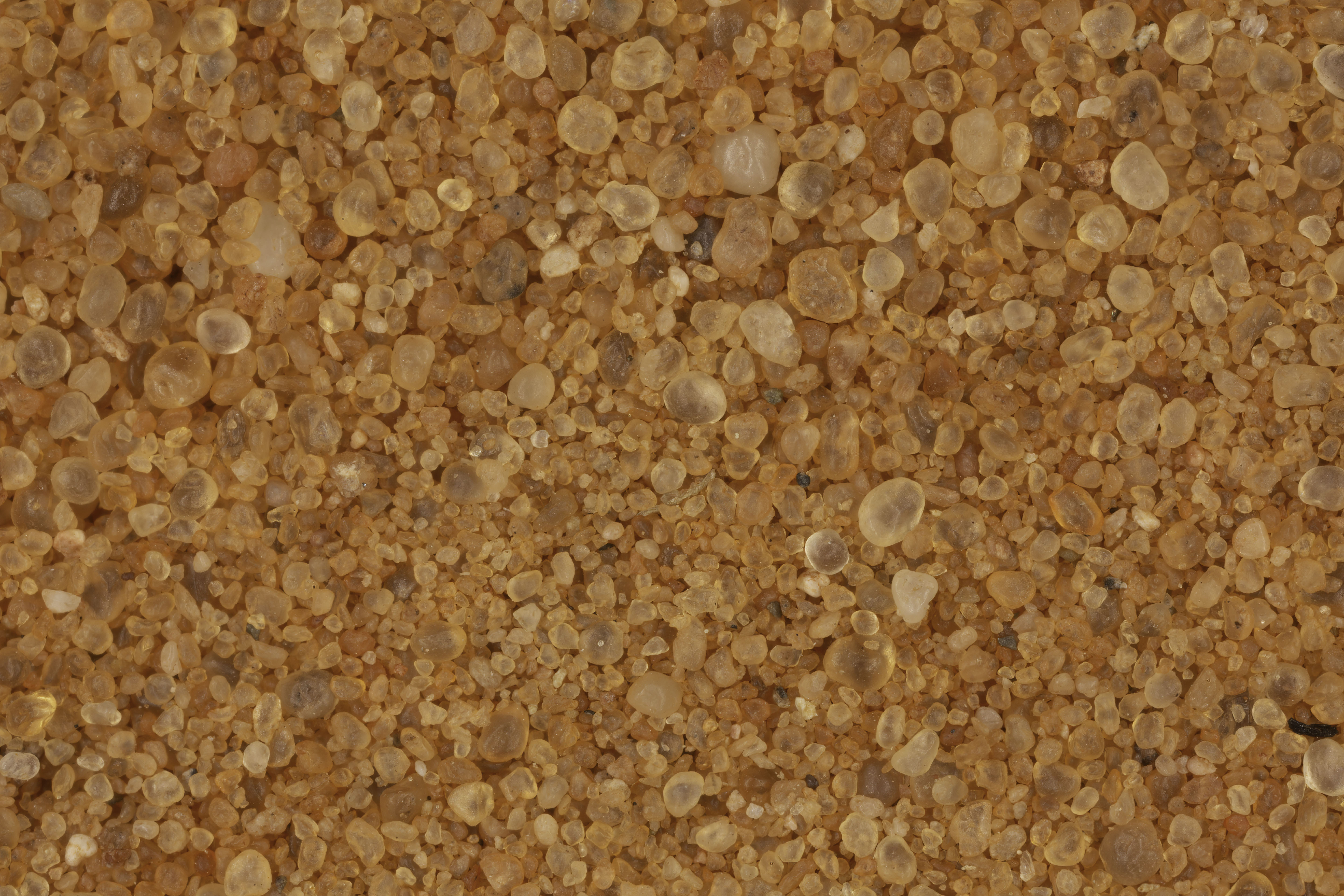
"Driving back from Page, I stopped at Mileage Marker 514 on Highway 89, just south of the rapid descent from the plateau on which sets Page , and collected a sample from the shallow wash on my left (east side) that I was paralleling. Called Tanner Wash, it runs north to south at the base of a jagged escarpment that runs for many miles parallel to the highway." Gary Foster |
|
| |
|
|
 |
 |
 |
0X IMAGE |
1X IMAGE |
3X IMAGE |
| Click on Image for High Resolution Version |
Click on Image for High Resolution Version |
Click on Image for High Resolution Version |
| |
|
|
| |
|
|
| |
|
|
| |
|
|
