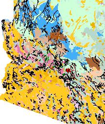
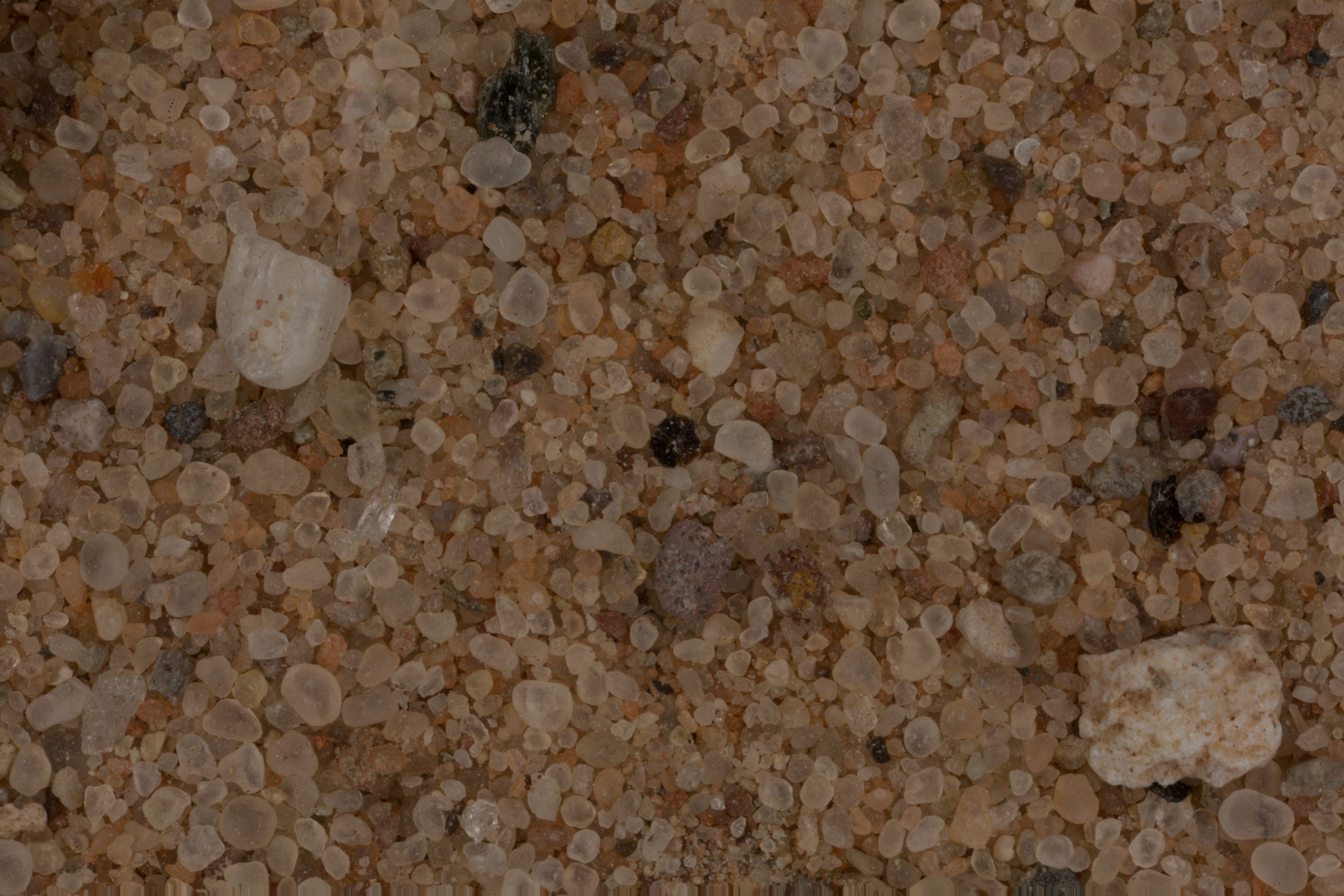
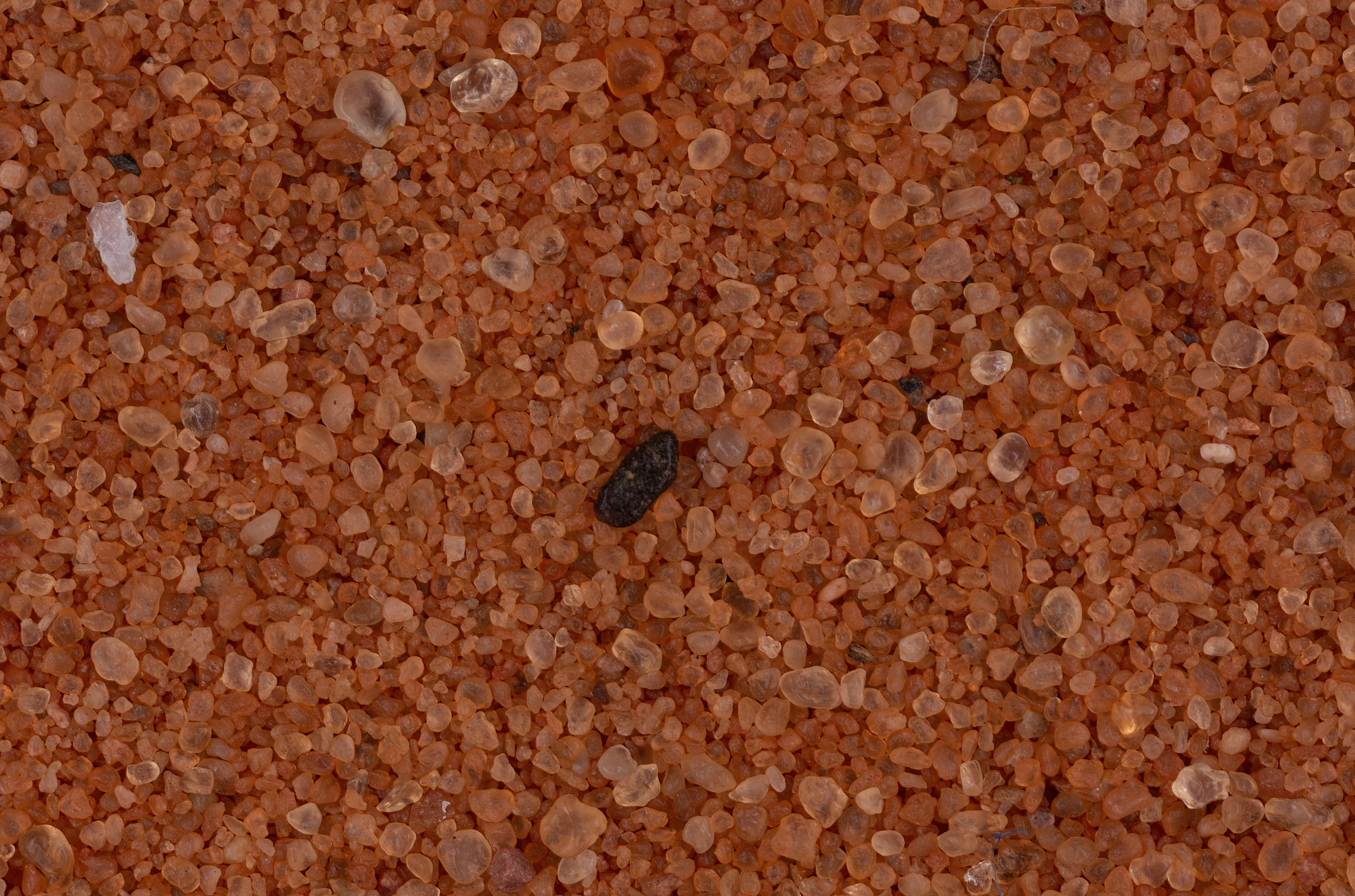
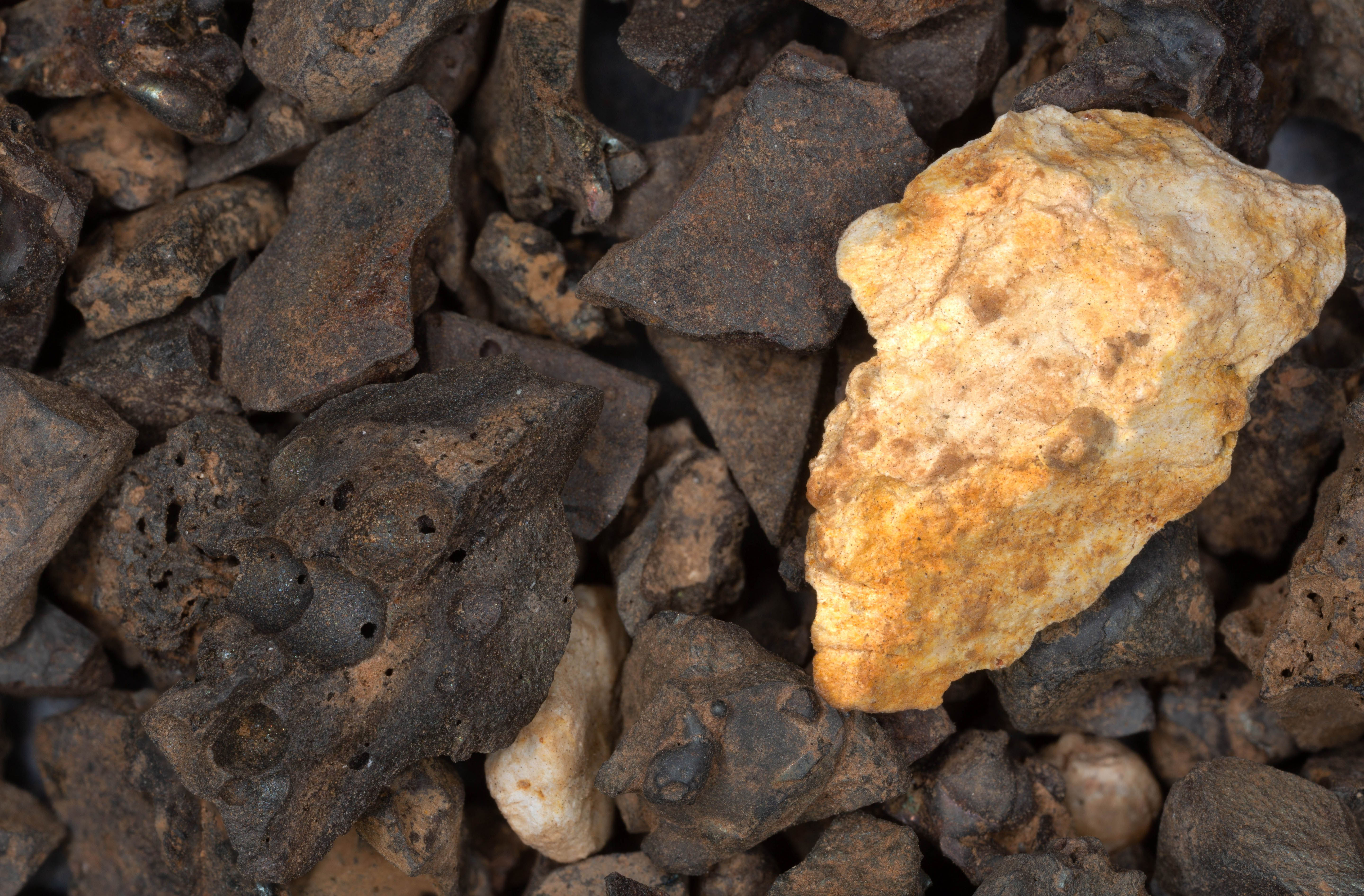
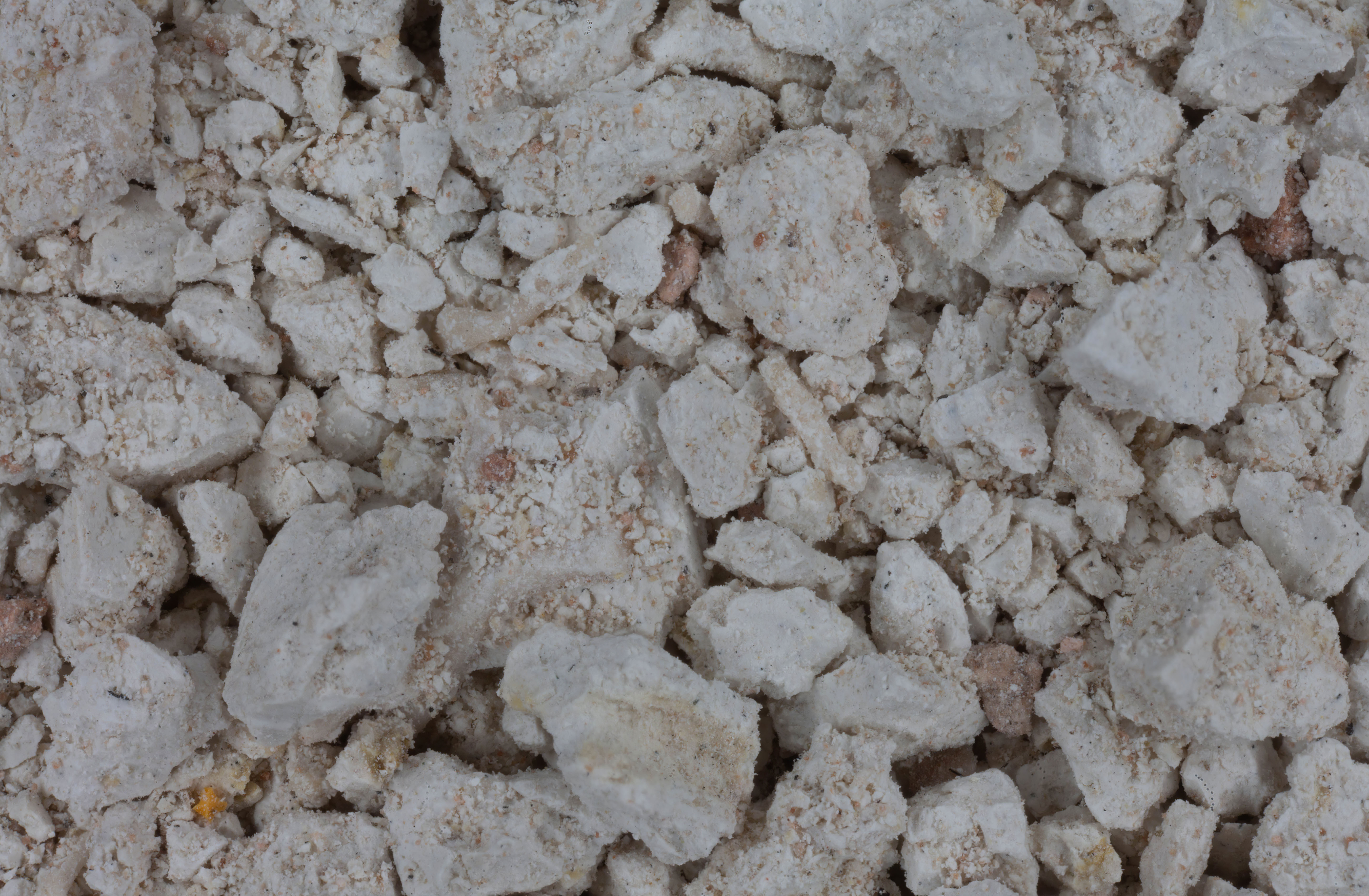
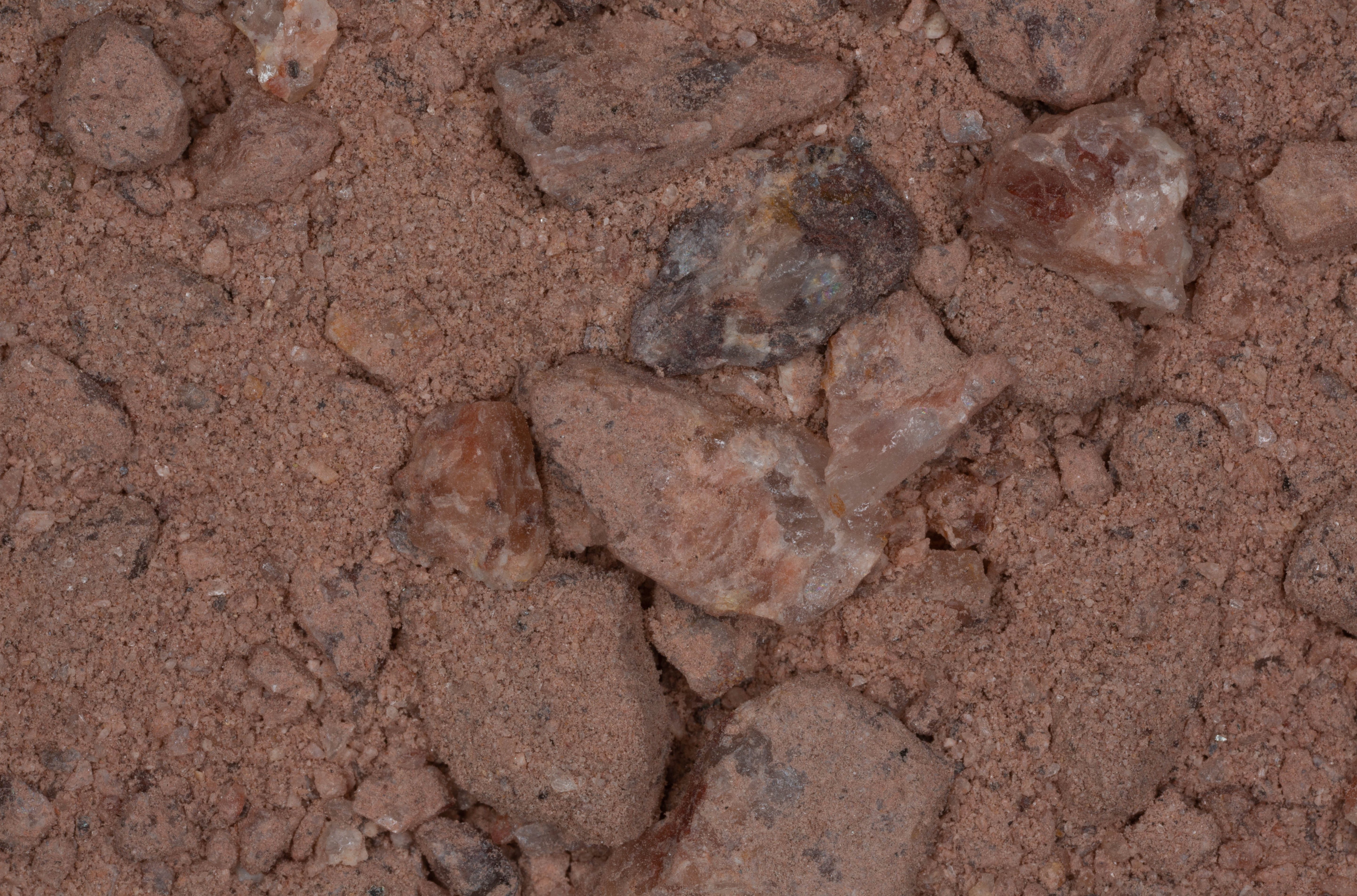
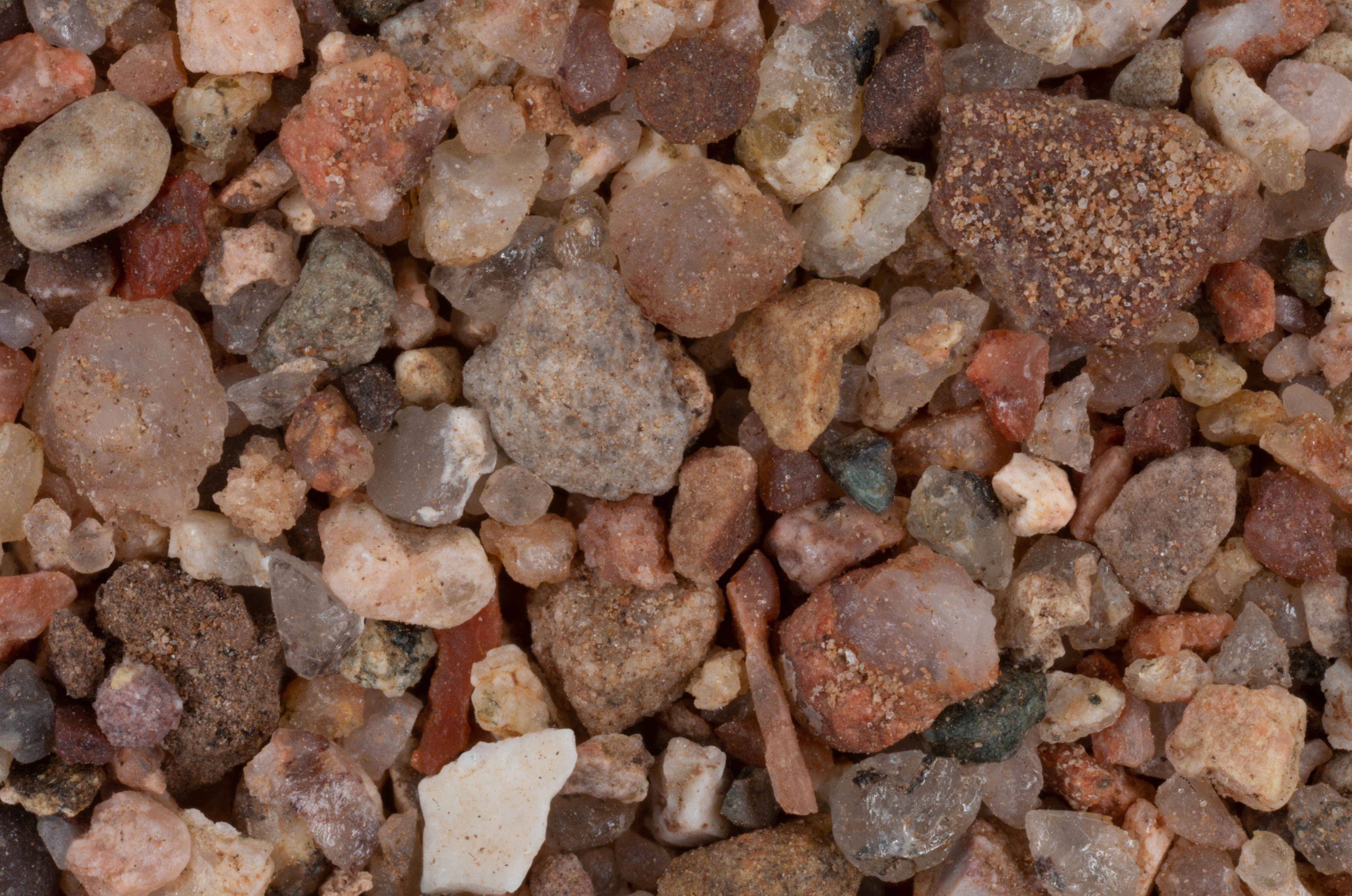
LOCATION |
3X IMAGE CLICK FOR HIGH RES. |
|
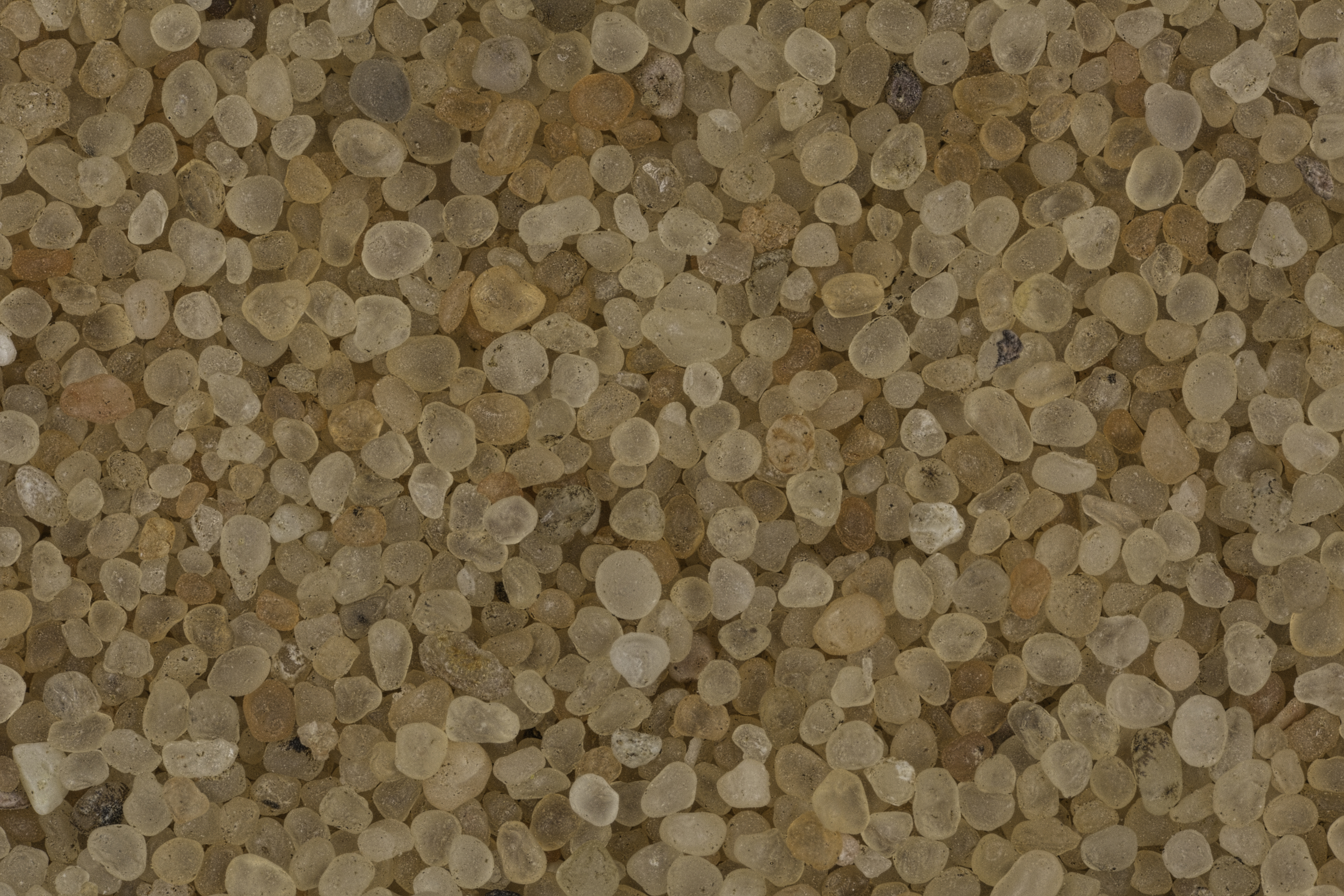
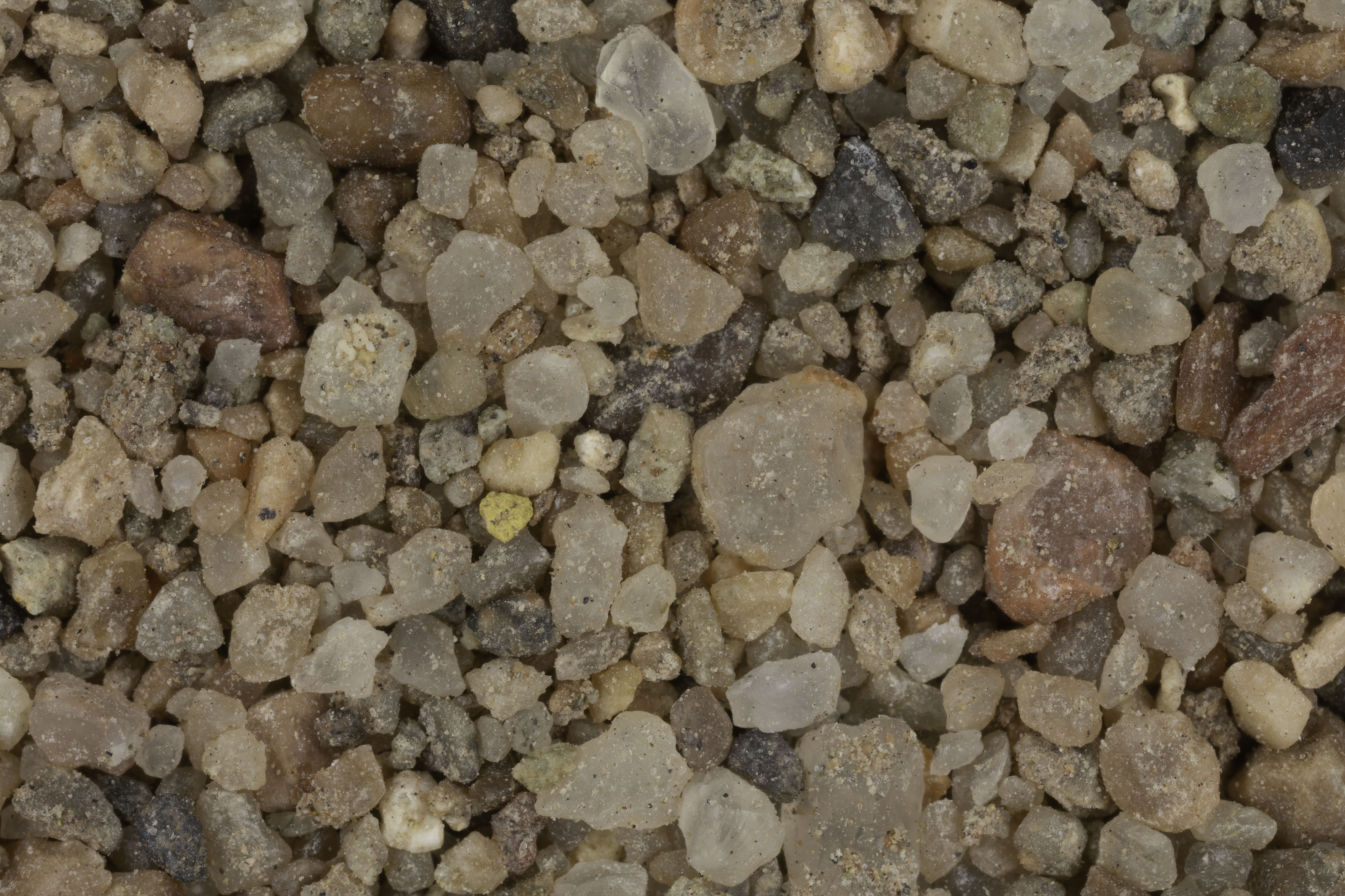
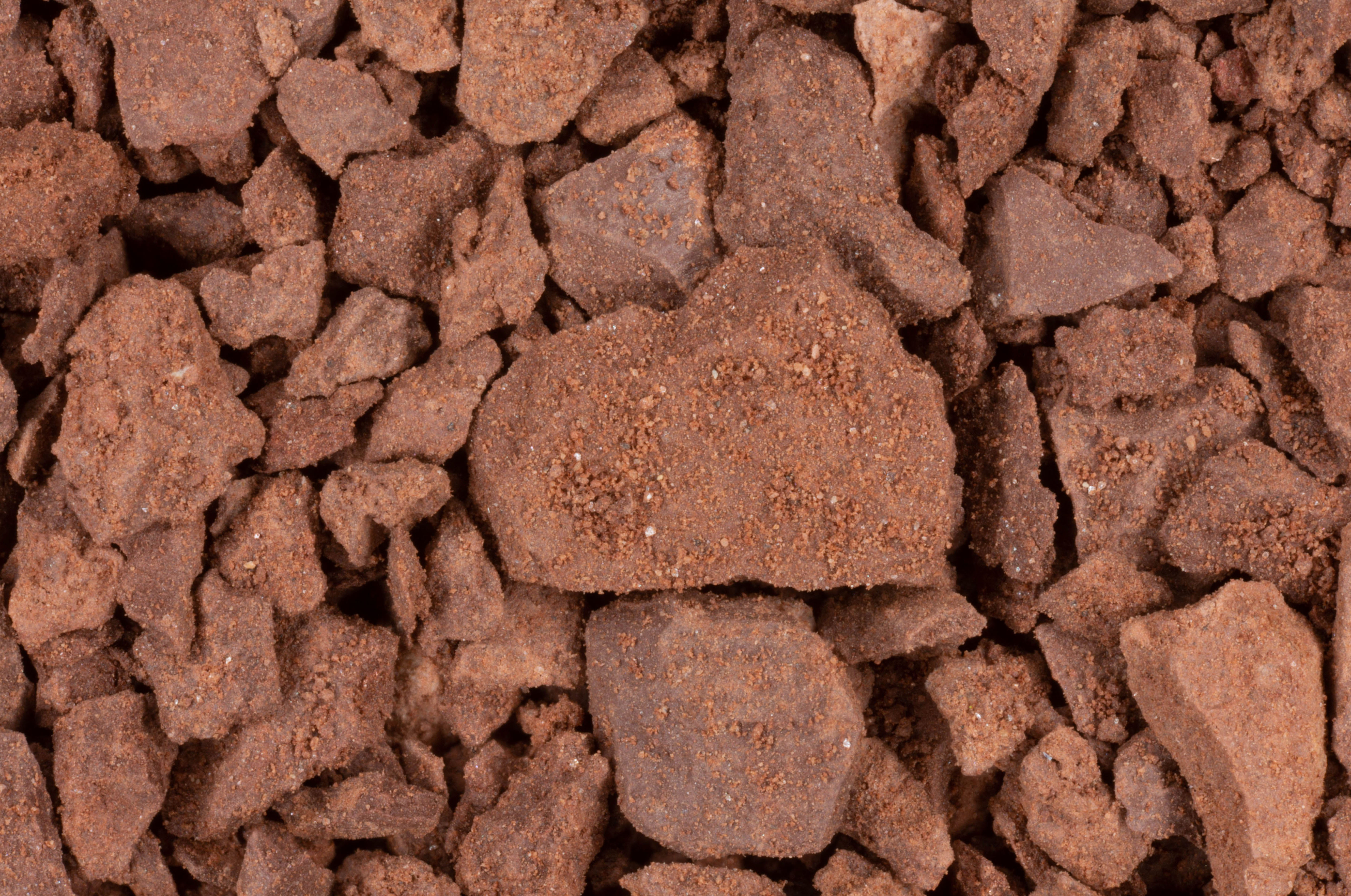
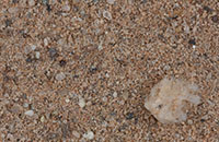
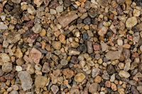
| Glen Canyon, Page (4 Samples) 37.25N, 110.88W |
 |
|
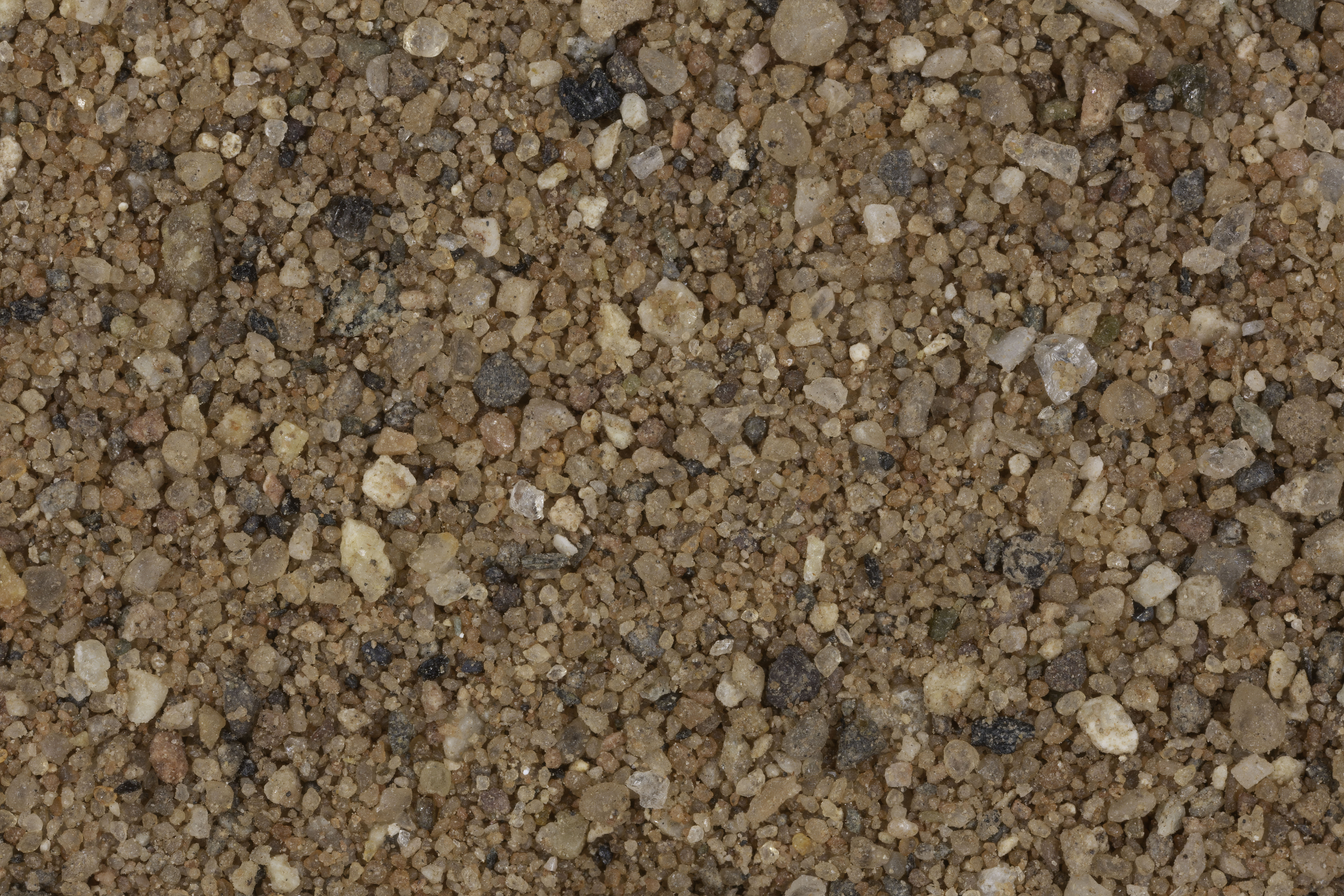
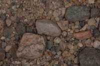
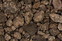
| Virgin River Canyon Rec. Area 36.95N, 113.80W |
 |
|
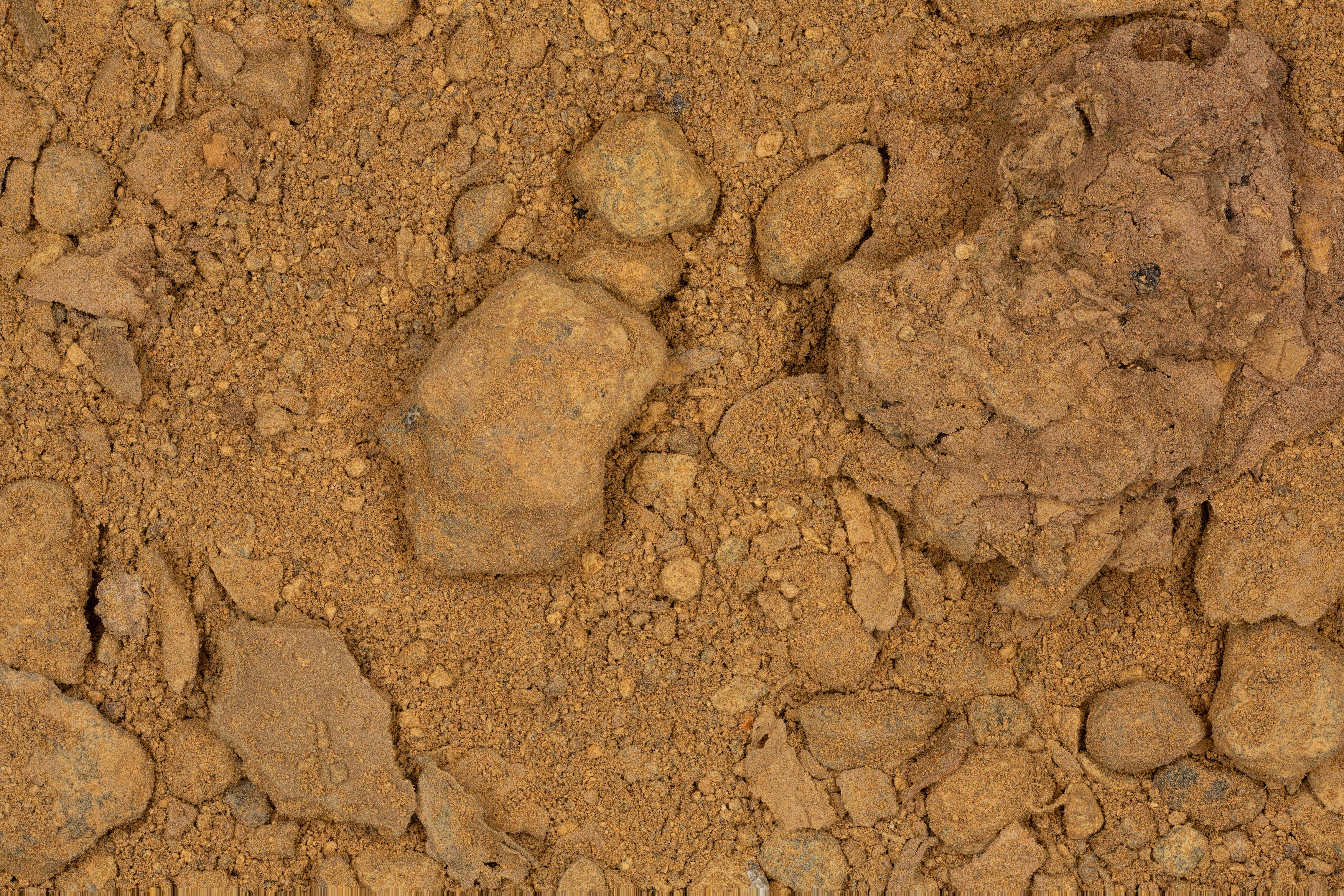
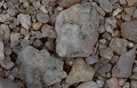
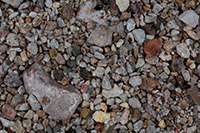
| Antelope Canyon 36.95N, 111.44W |
 |
|
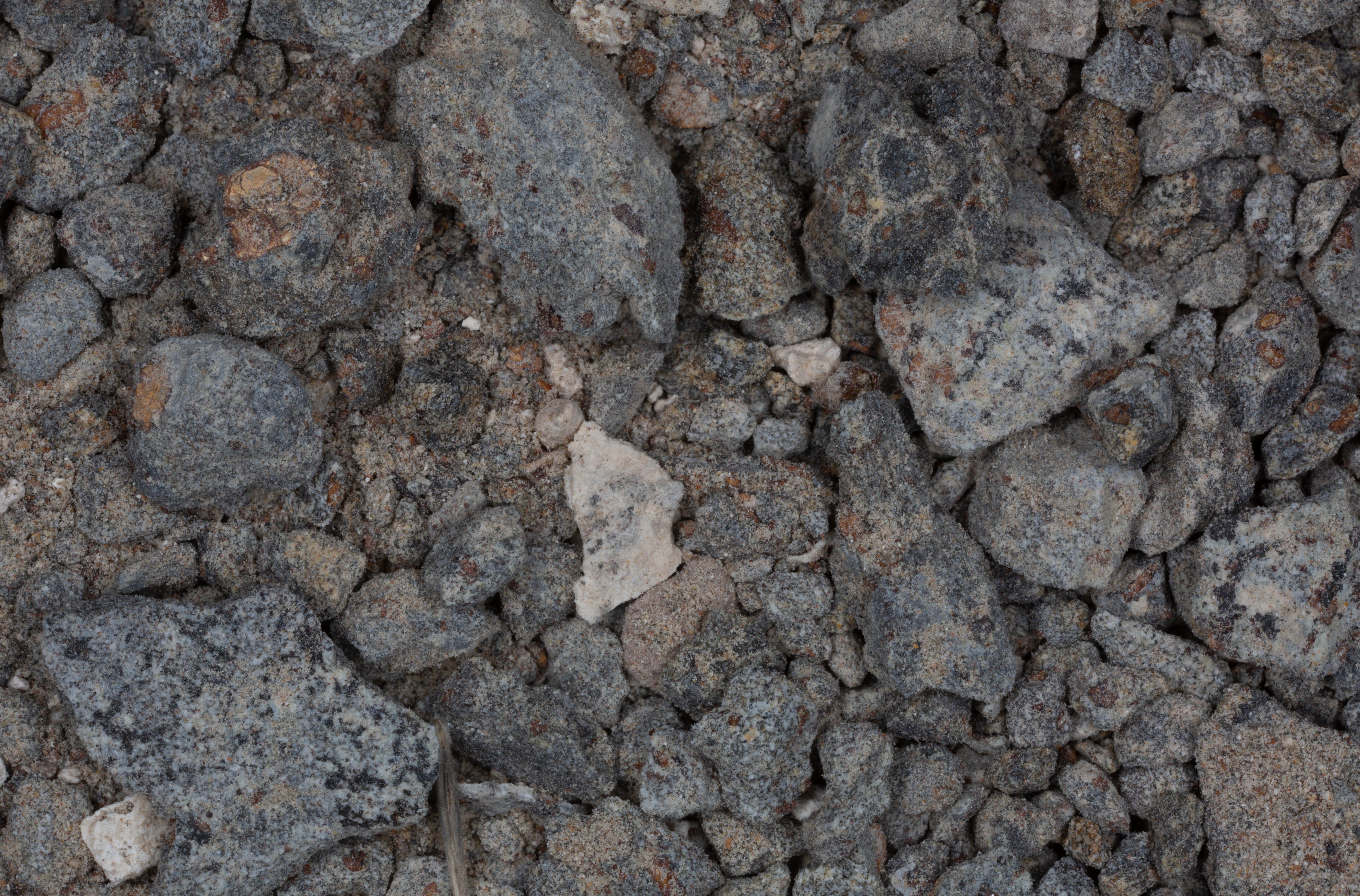
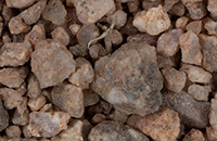
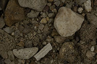
| Monument Valley (2 Samples) 36.90N, 110.07W |
 |
|
| Grand Canyon National Park 36.86N, 111.59W |
 |
|
| Vermillion Cliffs National Monument 36.81N, 111.74W |
 |
|
| Rock Point 36.72N, 109.63W |
 |
|
| Tuba City 36.13N, 111.23W |
 |
|
| Cameron 35.88N, 111.41W |
 |
|
| Route 66, Truxton 35.49N, 113.56W |
 |
|
| Chloride 35.41N, 114.20W |
 |
|
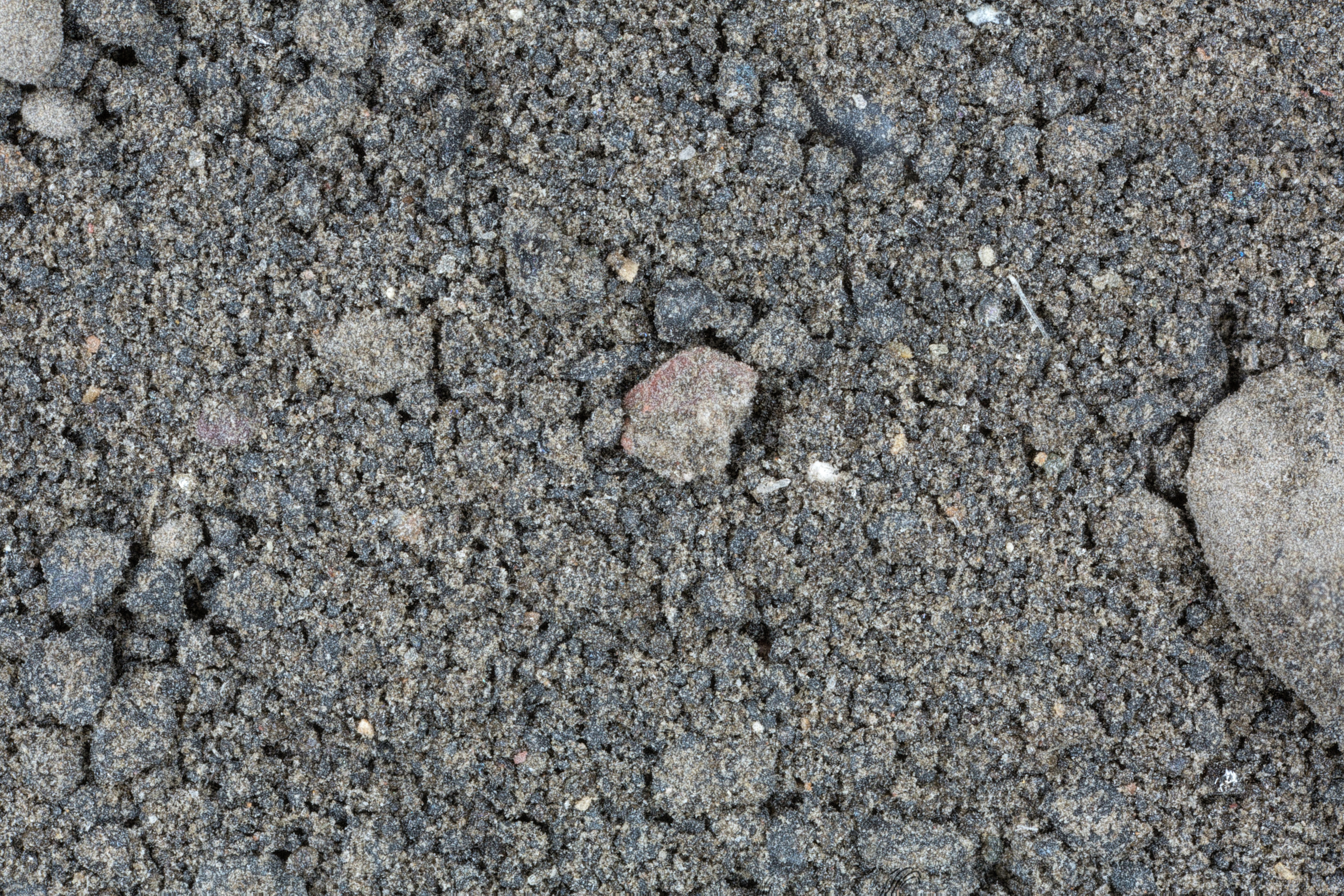
| Lunar Regolith (Simulation) 35.36N, 111.50W |
 |
|
| Little Colorado River, Leupp 35.30N, 111.01W |
 |
|
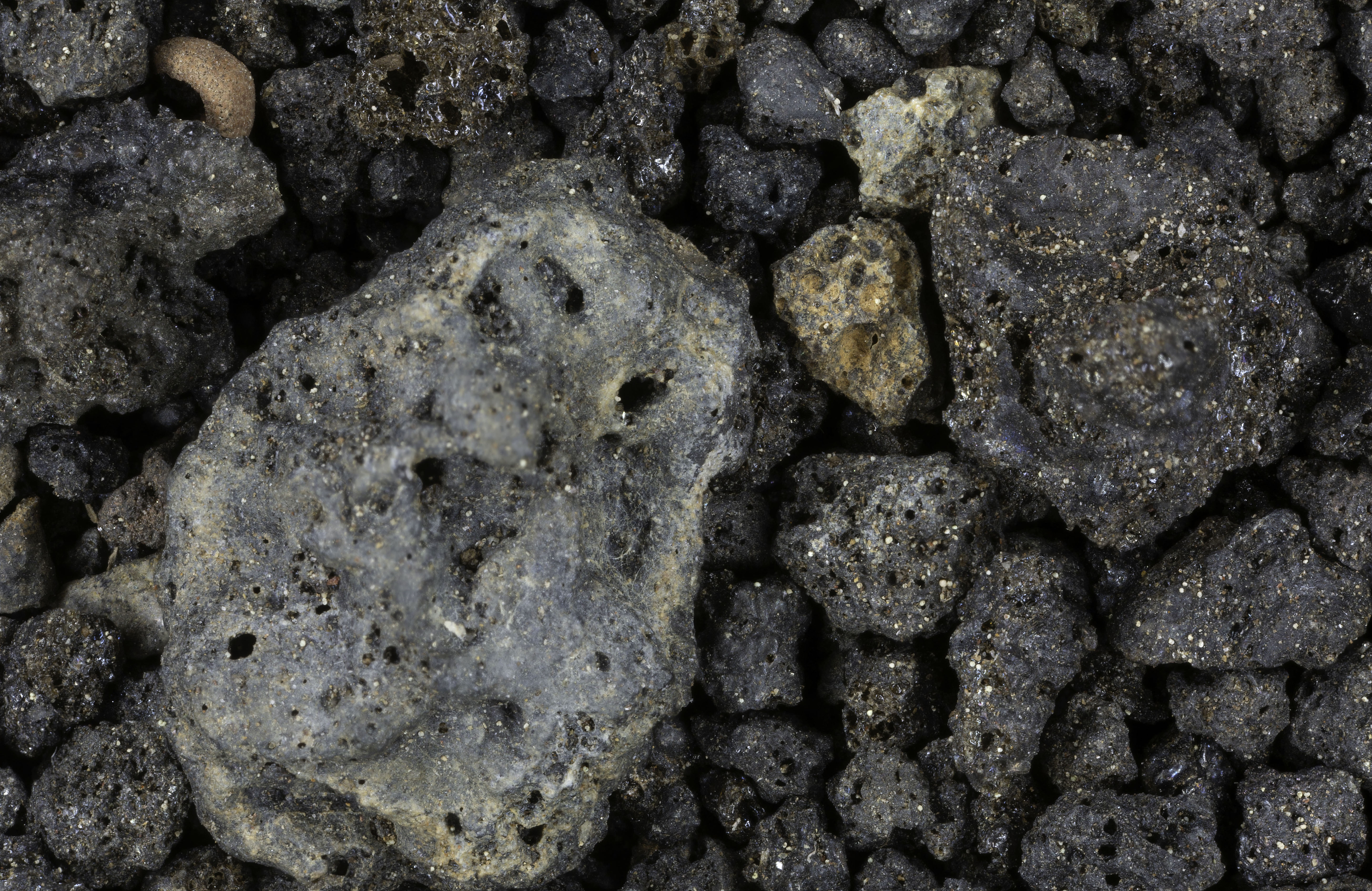
| Sunset Crater 35.30N, 111.40W |
 |
|
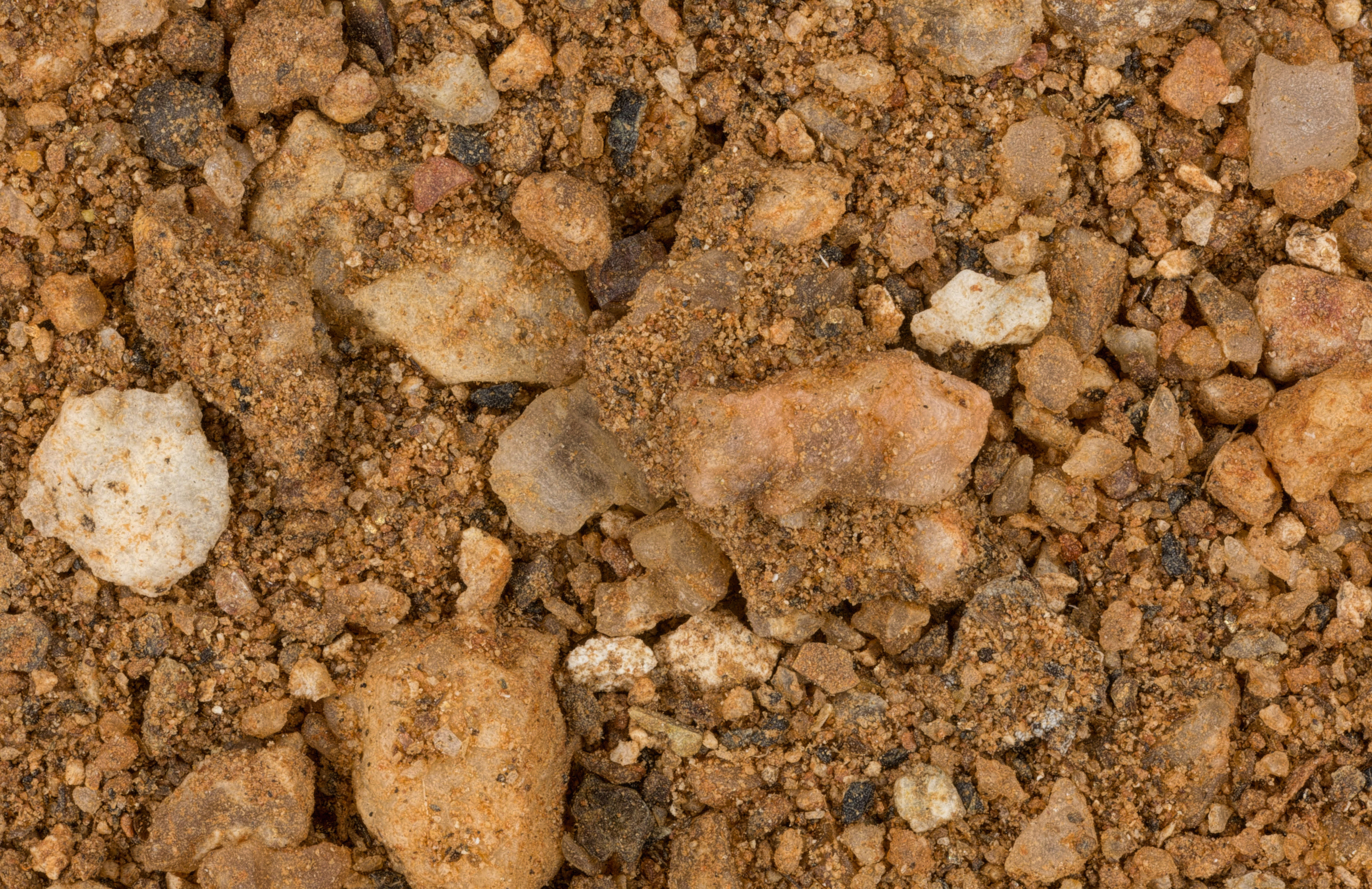
| Clear Creek Ranch, Winslow 35.02N, 110.70W |
 |
|
| Highway 87, Mile Marker 331 35.02N, 110.70W |
 |
|
| Winslow (5 Samples) 35.02N,110.70W |
 |
|
| Sycamore Creek 34.86N, 112.07W |
 |
|
| Sedona (6 Samples) 34.82N, 111.79W |
 |
|
| Verde River, Cottonwood 34.77N, 112.02W |
 |
|
| Jerome (2 Samples) 34.75N, 112.13W |
 |
|
| Highway 89A Between Cottonwood and Jerome |
 |
|
| Gold King Mine & Ghost Town (3 Samples) 34.75N, 112.13W |
 |
|
| Cottonwood 34.73N, 112.02W |
 |
|
| Fort Verde Historic State Park 34.56N, 111.85W |
 |
|
| Prescott 34.54N, 112.47W (2 Samples) |
 |
|
| Lake Havasu (2 Samples) 34.49N, 114.31W |
 |
|
| East Verde River 34.28N, 111.66W |
 |
|
| Payson (5 Samples) 34.24N, 111.33W |
 |
|
| Rye 34.14N, 111.35W |
 |
|
| Agnes Wilson Bridge 34.04N, 114.44W |
 |
|
| Poston Internment Facility (2 Samples) 33.99N, 114.40W |
 |
|
| Wickenburg 33.97N, 112.75W |
 |
|
| Hassayampa River on I-10 33.97N, 112.75W |
 |
|
| Vulture Mine Ghost Town 33.97N, 112.73W |
 |
|
| Cave Creek 33.83N, 111.95W |
 |
|
| Ben Avery Shooting Range, Phoenix 33.80N, 112.15W |
 |
|
| Fort Apache 33.79N, 109.99W |
 |
|
| Scottsdale 33.70N, 111.92W |
 |
|
| TPC Scottsdale 33.70N, 111.92W |
 |
|
| Quartzsite (5 Samples) 33.66N, 114.23W |
 |
|
| Agua Fria 33.61N, 112.31W |
 |
|
| Taliesin West 33.61N, 111.85W |
 |
|
| Fountain Hills (2 Samples) 33.60N, 111.72W |
 |
|
| Copper Creek, Peoria 33.58N, 112.24W |
 |
|
| Glendale 33.54N, 112.19W |
 |
|
| Tortilla Flat 33.53N, 111.39W |
 |
|
| Camelback Mountain (5 Samples) 33.51N, 111.96W |
 |
|
| Papago Peaks (2 Samples) 33.45N, 111.94W |
 |
|
| Phoenix ((3 Samples) 33.45N, 112.07W |
 |
|
| Confluence of the Gila and Salt River (2 Samples) - Approx. 33.45N, 112.07W |
 |
|
| Highway 60, Mile Markers 264 and 311 |
 |
|
| Salt River, Tempe 33.43N, 111.93W |
 |
|
| Mesa (3 Samples) 33.42N, 111.82W |
 |
|
| Apache Junction (2 Samples) 33.41N, 111.55W |
 |
|
| Pinal Creek, Globe 33.40N, 110.78W |
 |
|
| Copper Mine Slag Pile 33.40N, 110.78W |
 |
|
| Lower Salt River Near Mesa 33.38N, 112.38W |
 |
|
| South Mountain Preserve (2 Samples) 33.34N, 112.07W |
 |
|
| Coolidge Dam Area 33.17N, 110.52W |
 |
|
| Clifton 33.05N, 109.30W |
 |
|
| Gila Bend (2 Samples) 32.95N, 112.72W |
 |
|
| Sentinel Lava Field 32.80N, 113.20W |
 |
|
| Superior 33.29N, 111.10W |
 |
|
| Sierra Estrella Range (2 Samples) 33.28N, 112.28W |
 |
|
| El Capitan Pass 33.24N, 110.78W |
 |
|
| Ira Hayes Memorial, Sacaton 33.07N, 111.75W |
 |
|
| Tom Mix Monument (2 Samples) 33.04N, 111.39W |
 |
|
| Painted Rock State Park 33.02N, 113.04W |
 |
|
| Gila Bend (3 Samples) 32.95N, 112.72W |
 |
|
| Dateland 32.82N, 113.54W |
 |
|
| Black Gap 32.76N, 112.82W |
 |
|
| Yuma Territorial Prison (2 Samples) 32.73N, 114.62W |
 |
|
| Mammoth 32.72N, 110.64W |
 |
|
| Tacna 32.70N, 113.95W |
 |
|
| Pilot Knob Hill, Yuma 32.69N, 114.62W |
 |
|
| Oracle 32.62N, 110.78W |
 |
|
| University of Arizona Biosphere 2 32.58N, 110.85W |
 |
|
| Lazy B Ranch (3 Samples) 32.56N, 109.09W |
 |
|
| Ajo (4 Samples) 32.38N, 112.87W |
 |
|
| Tucson (3 Samples) 32.22N, 110.93W |
 |
|
| Santa Cruz River, San Xavier Mission 32.11N, 111.01W |
 |
|
| Texas Valley 32.05N, 110.09W |
 |
|
| Portal 31.91N, 109.14W |
 |
|
| Willcox Playa 31.80N, 109.20W |
 |
|
| OK Corral, Tombstone (2 Samples) 31.71N, 110.07W |
 |
|
| Chiricahua Mountains, Geronimo Surrender Monument (3 Samples) 31.69N, 109.13W |
 |
|
| Tubac (2 Samples) 31.61N, 111.05W |
 |
|
| |
|
|
| |
|
|
| |
|
|