 |
 |
 |
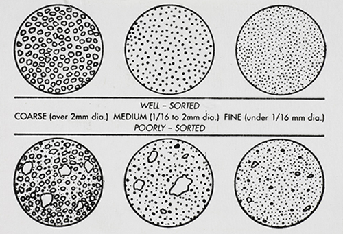
GRAIN DISTRIBUTION CHARACTERISTICS (AGI CHART) |
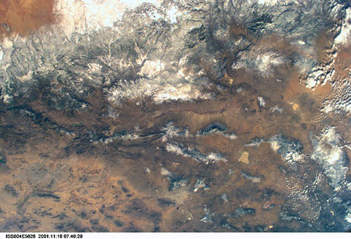
International Space Station 28mm Photograph Image credit: Image Science and Analysis Laboratory, NASA Johnson Space Center |
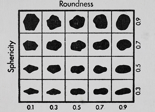
GRAIN SHAPE CHARACTERISTICS
(PREPARED BY GAMMA ZETA CHAPTER , SIGMA GAMMA EPSILON, KENT STATE UNIVERSITY - AGI CHART))
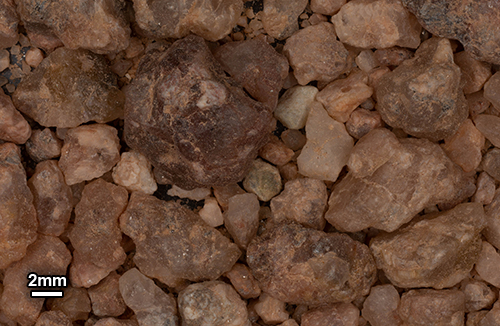
Roundness is the degree of smoothing due to abrasion of sedimentary particles. It is expressed as the ratio of the average radius of curvature of the edges or corners to the radius of curvature of the maximum inscribed sphere.
The sphericity of a particle is: the ratio of the surface area of a sphere (with the same volume as the given particle) to the surface area of the particle. |
| |
|
|
| |
|
|
 |
 |
 |
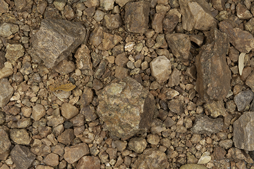
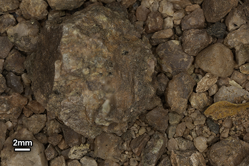
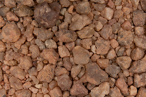
0X IMAGE (BACKGROUND IMAGE) |
1X IMAGE |
1X IMAGE |
| Click on Image for High Resolution Version |
Click on Image for High Resolution Version |
Click on Image for High Resolution Version |
| |
|
|
| |
 |
|
| |
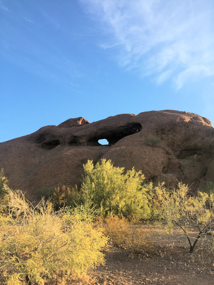
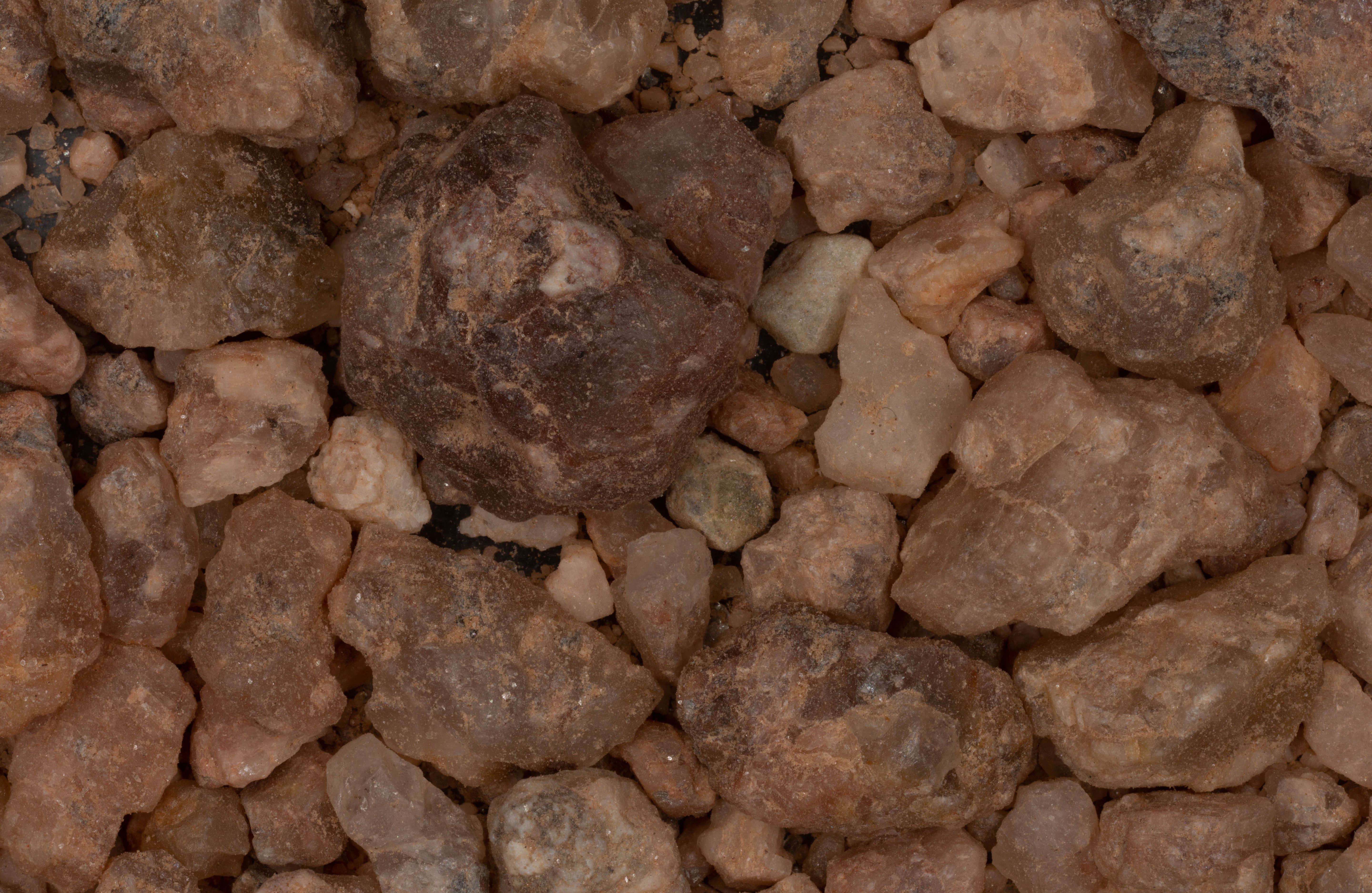
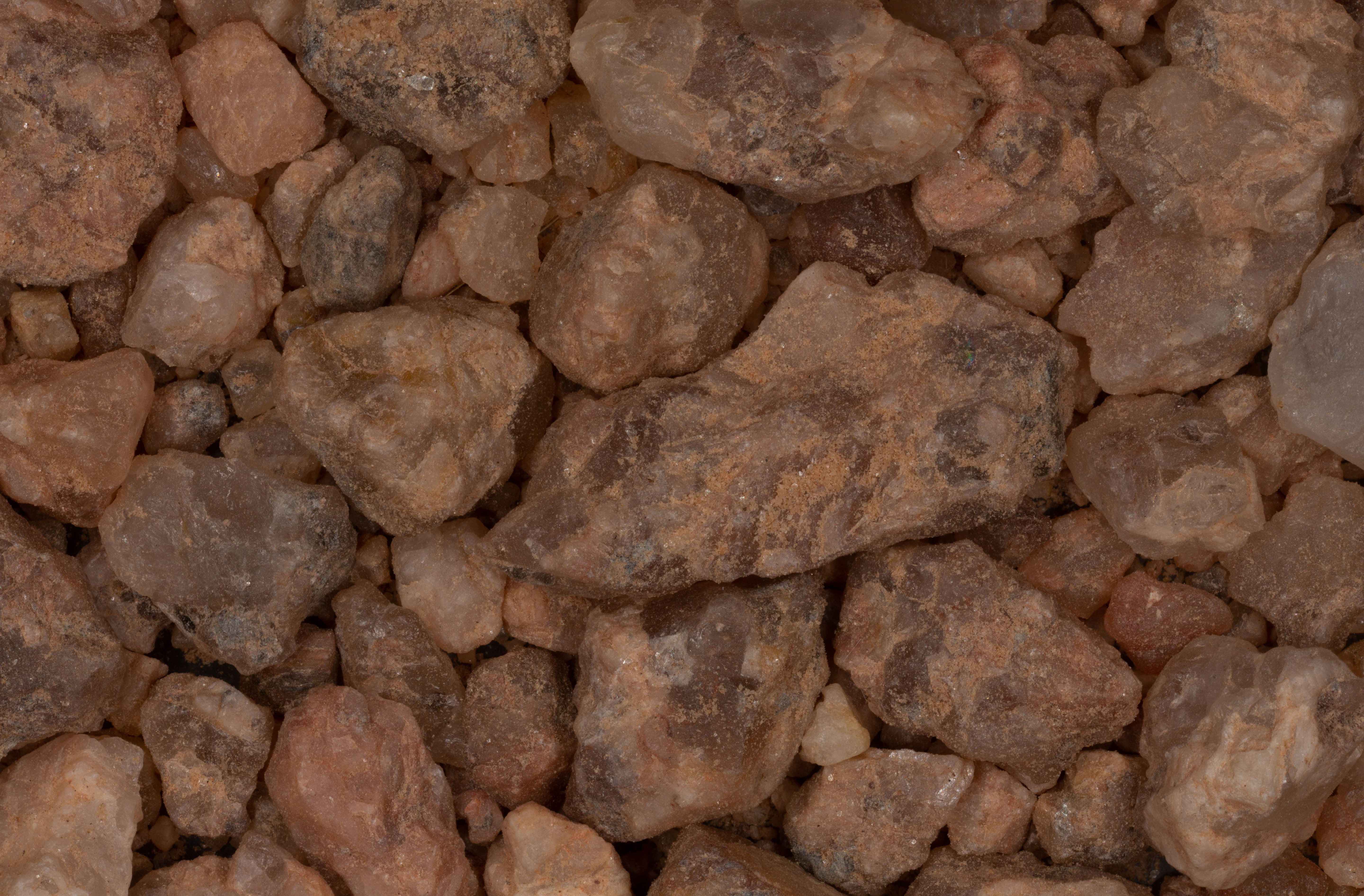
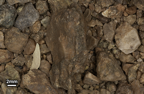
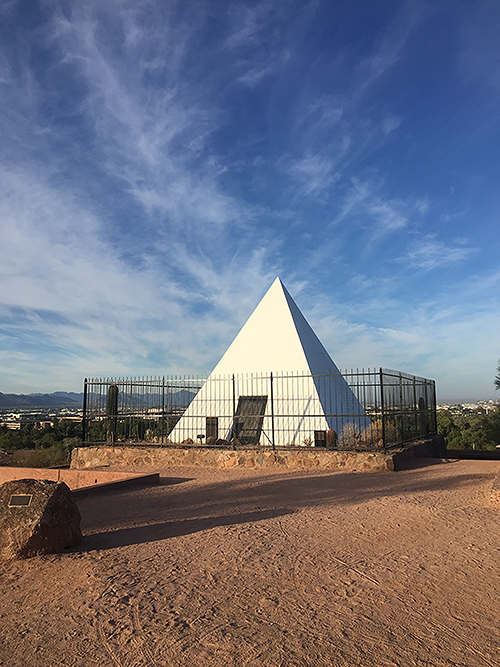
HUNT'S TOMB - Gary Foster Photograph |
|
| |
"Located a bit south of Hole in the Rock Peak is Hunt's Tomb. Hunt was the first governor of Arizona. The sample was collected from the base of the pyramid tomb." - Gary Foster |
|
 |
 |
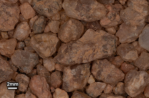 |
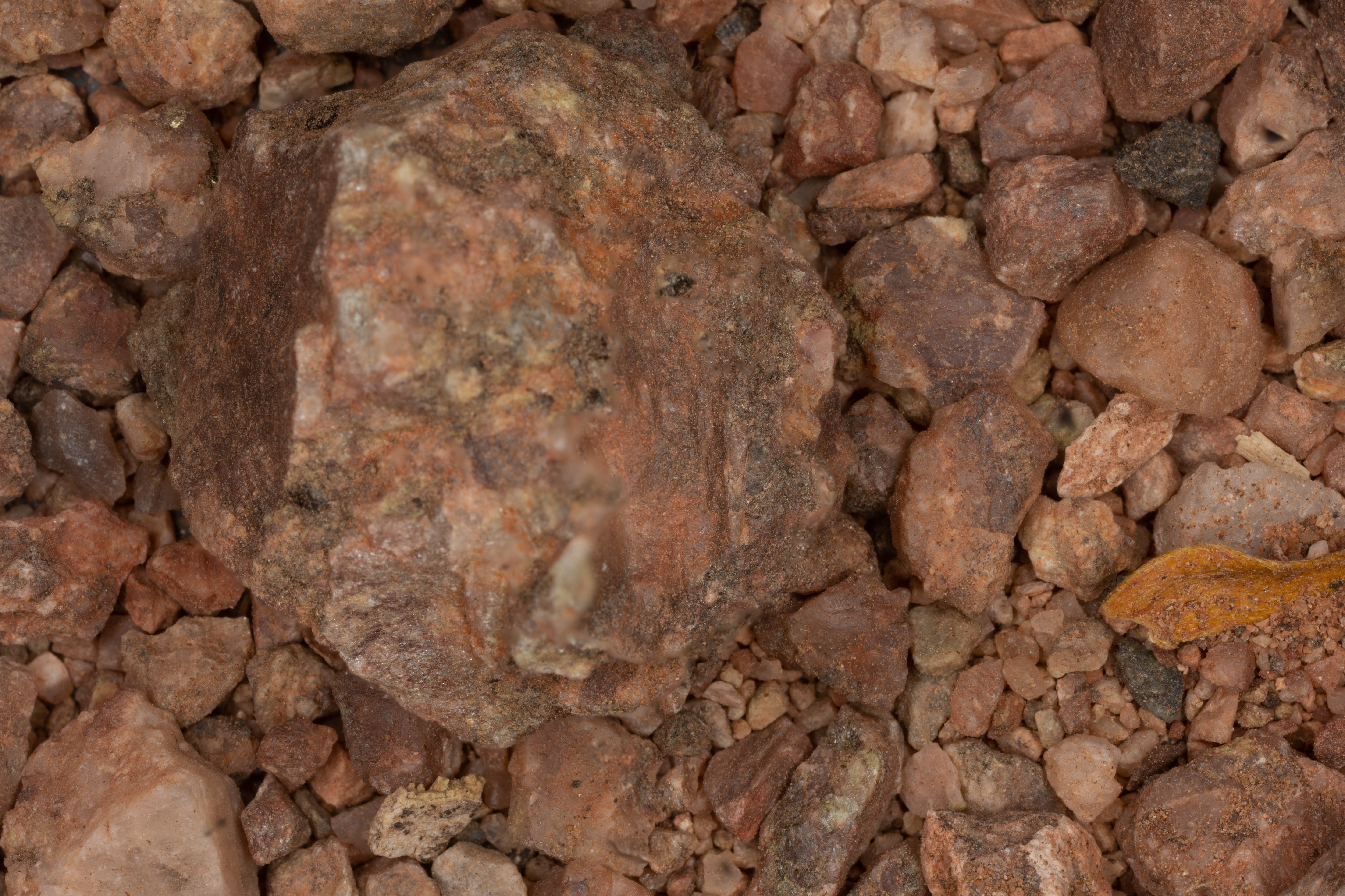
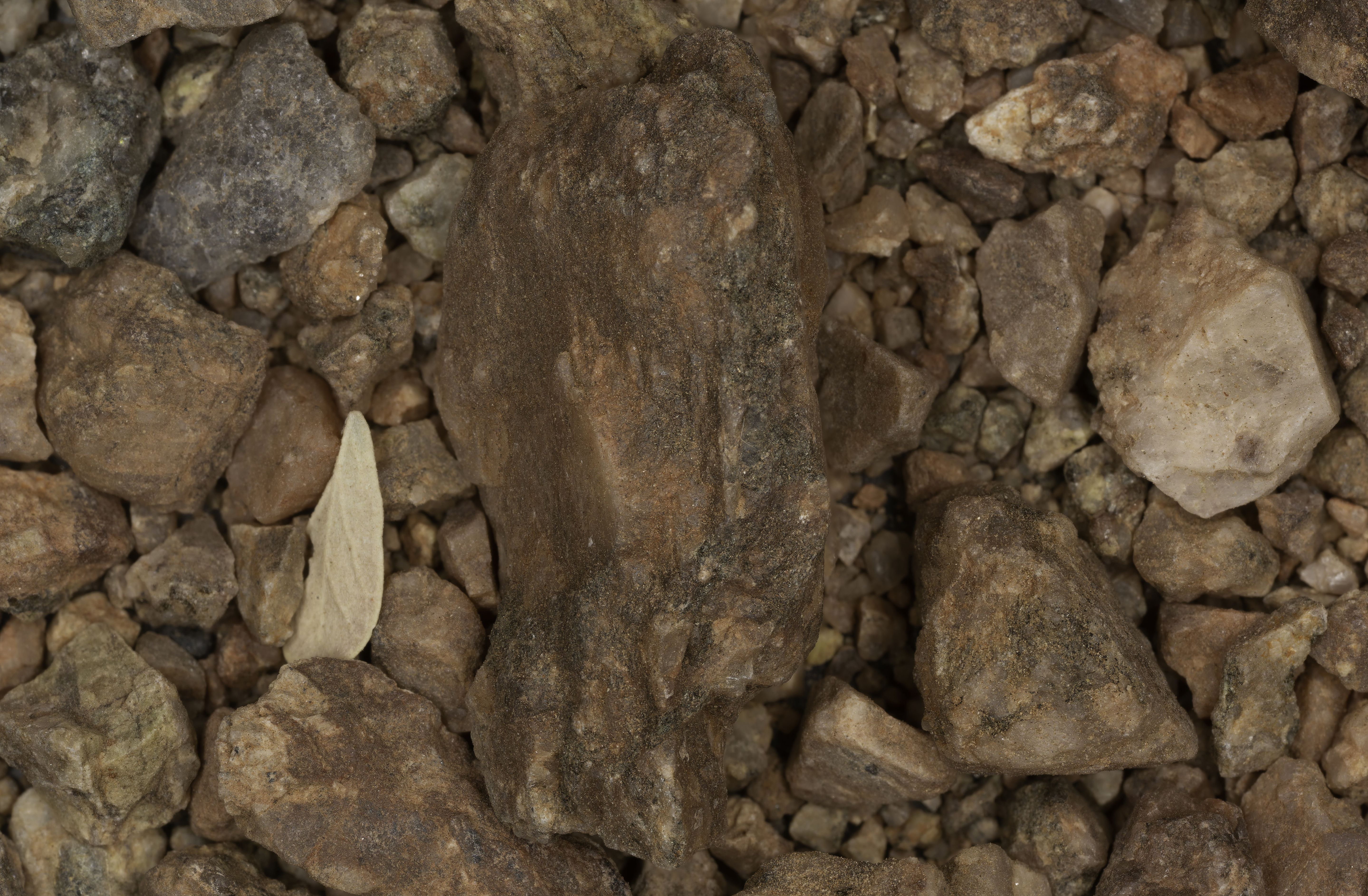
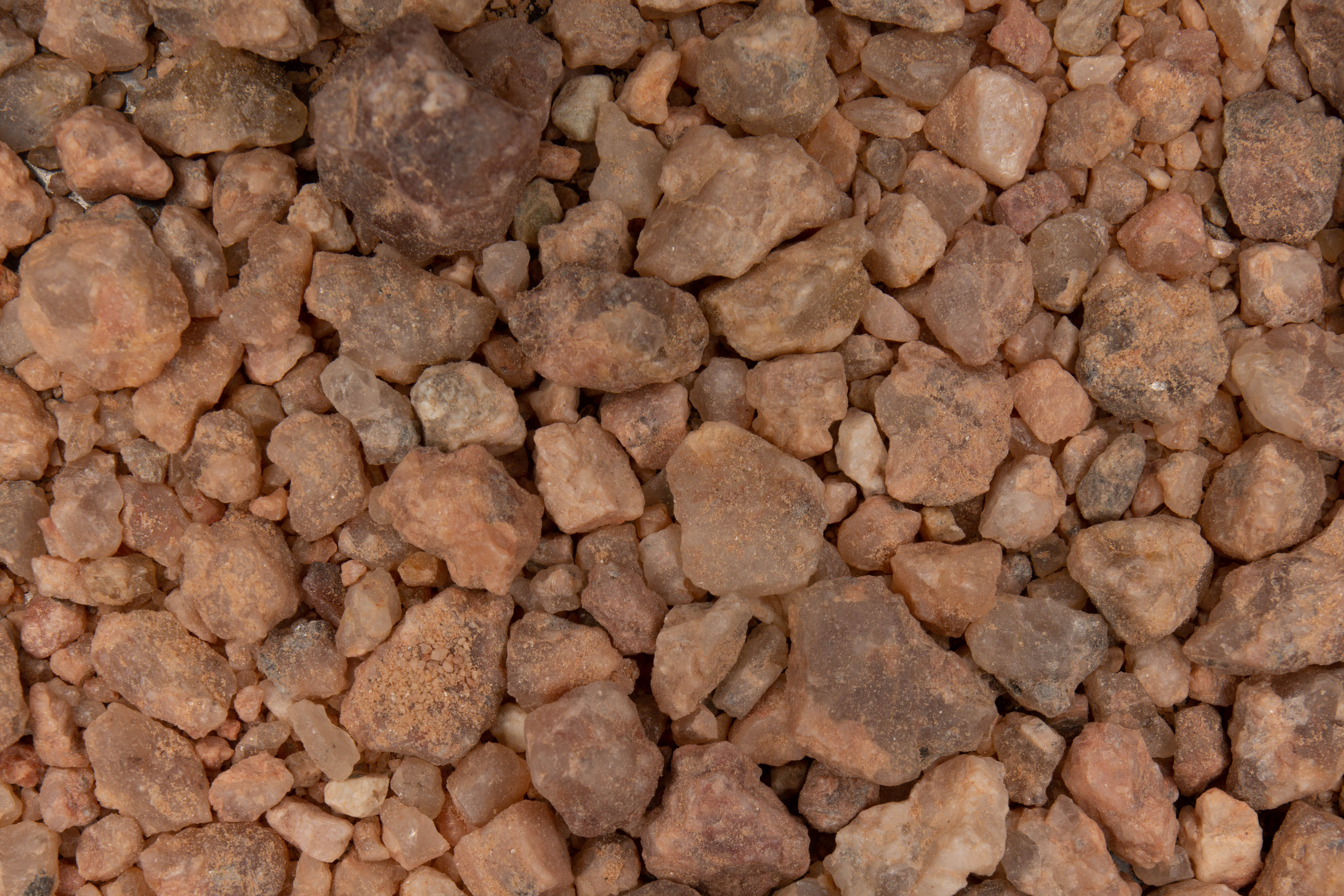
0X IMAGE |
1X IMAGE |
1X IMAGE |
| Click on Image for High Resolution Version |
Click on Image for High Resolution Version |
Click on Image for High Resolution Version |
| |
|
|
| |
|
|
| |
|
|
| |
|
|
| |
|
|
| |
|
|