STOUGH CANYON NATURE CENTER, BURBANK, CALIFORNIA |
|
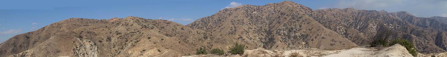
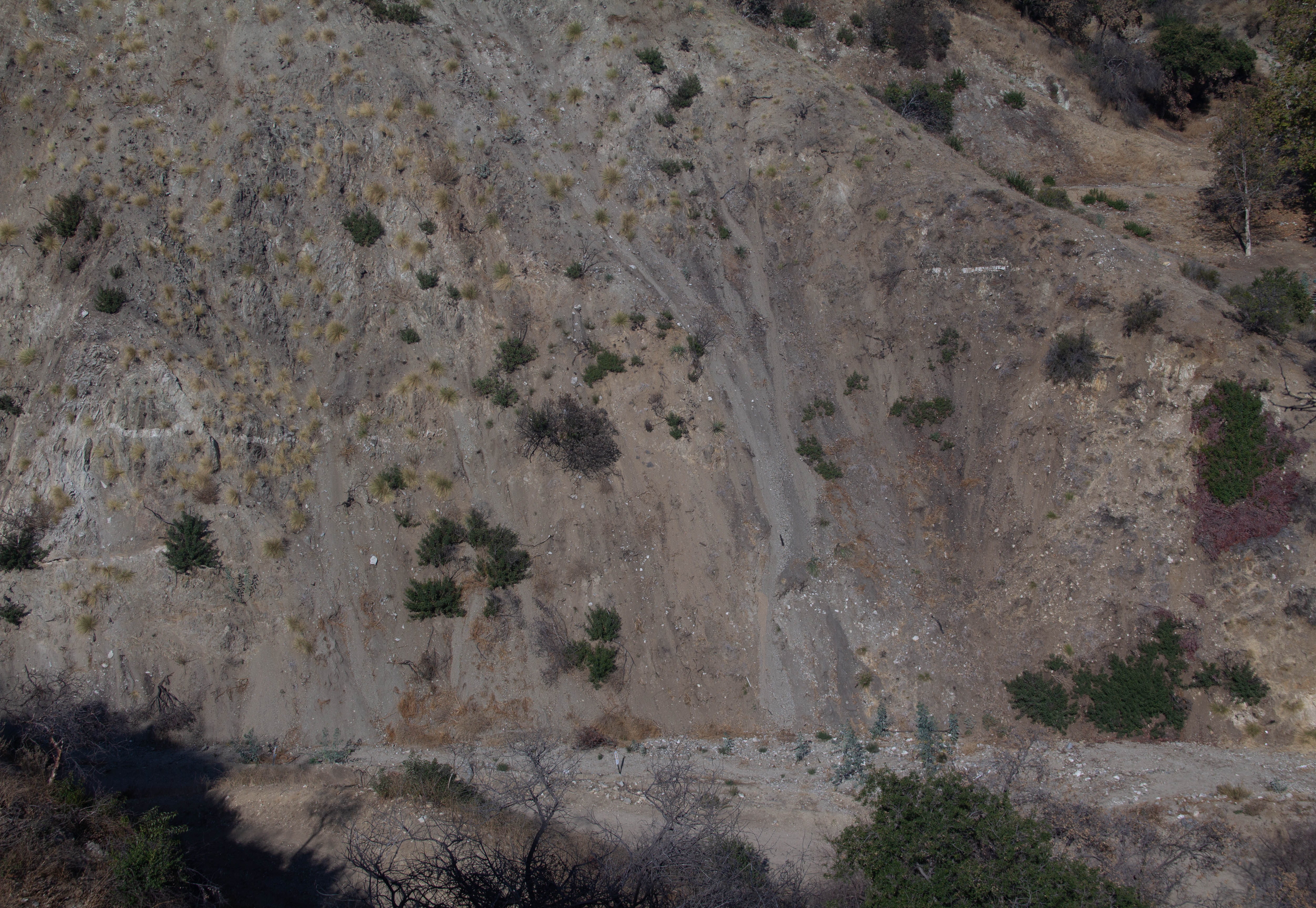
PANORAMA FROM "THE VIEW" - Charles F. Lindgren Photograph |
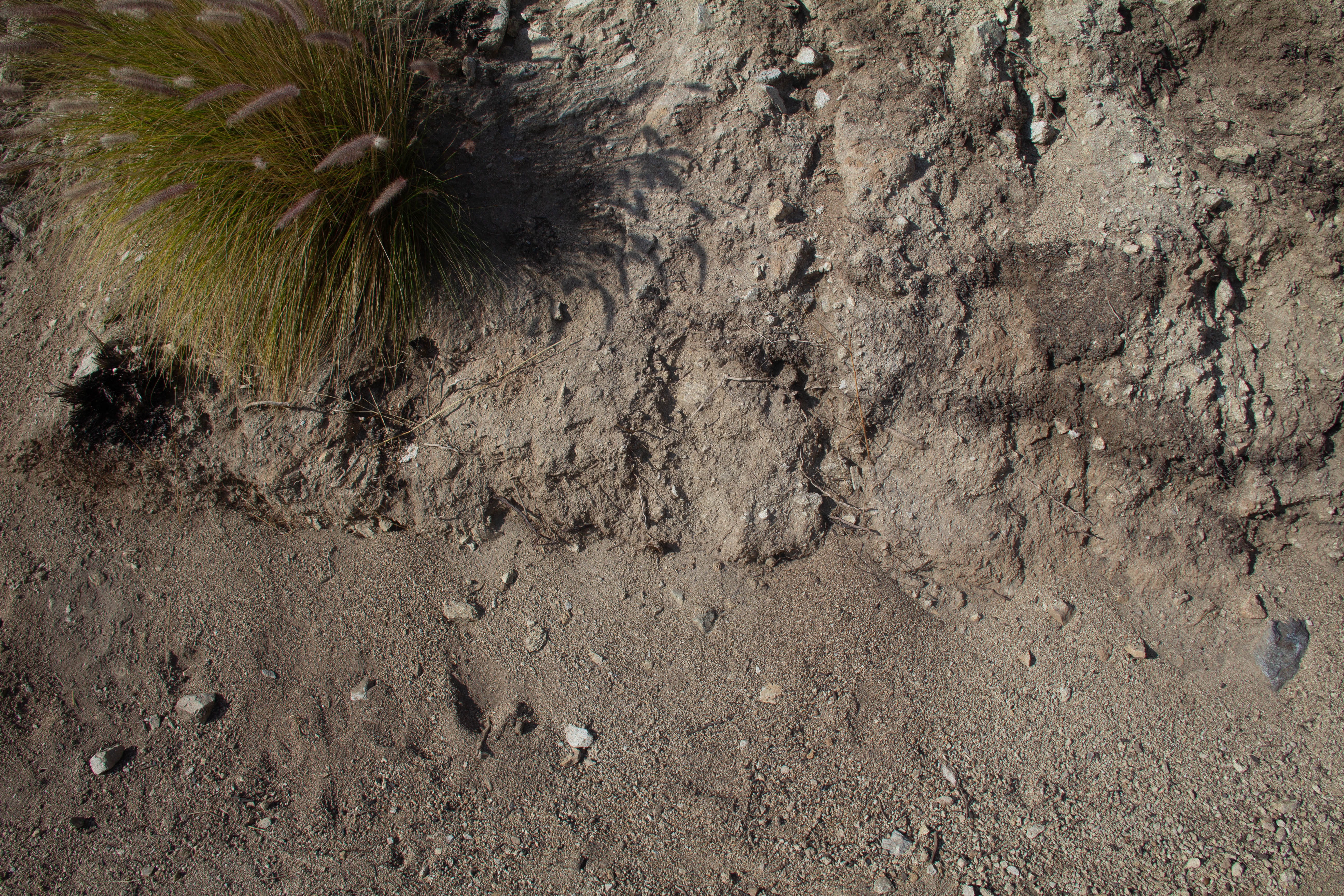
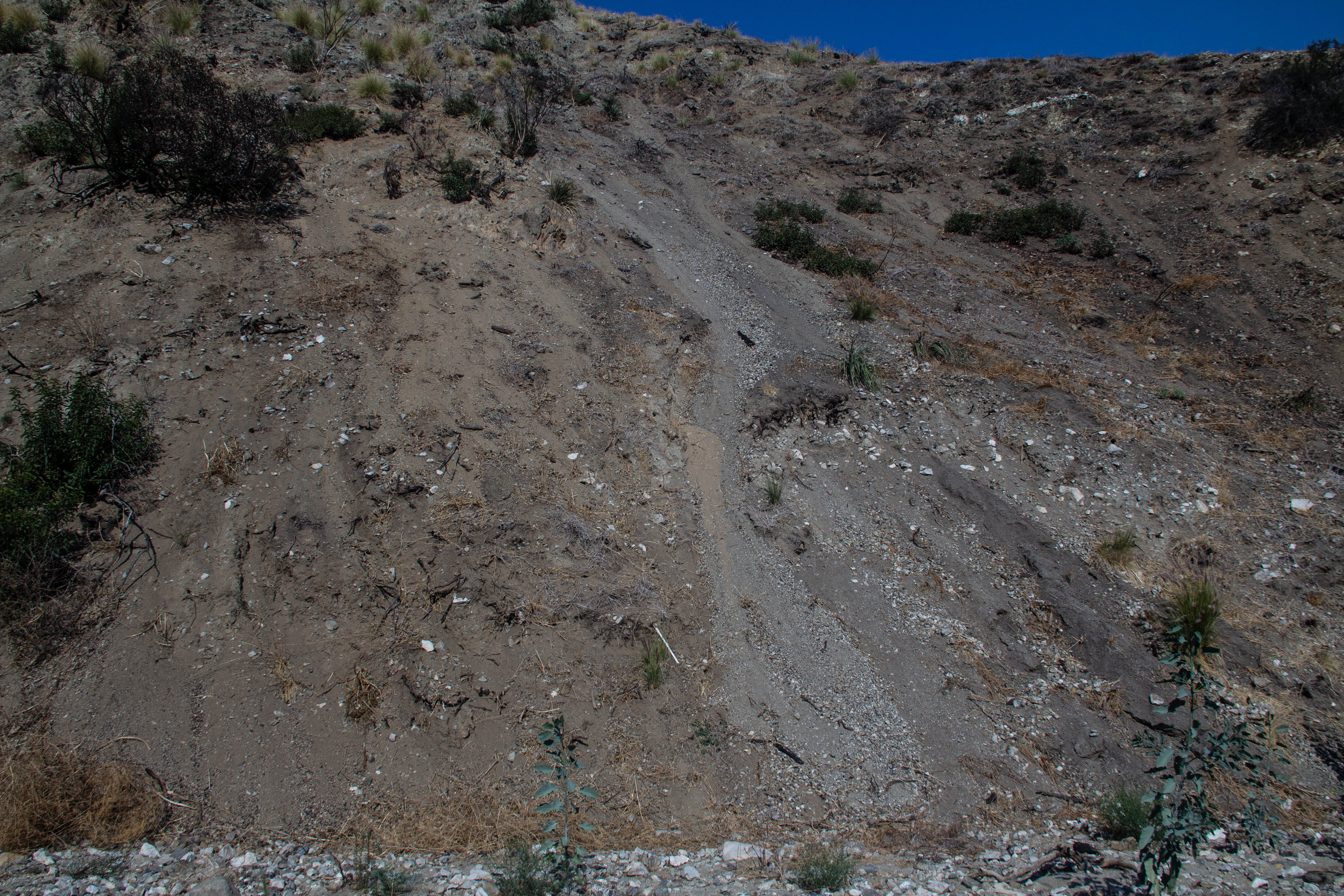
This was a difficult location to visit. The first difficulty was I had to walk uphill for 0.6 miles to get to the top of this trail to take the panorama show above. Secondly, this area had a a major fire a year ago. A once green area is now almost barren, but recovering. The four samples were collected at the bottom of four gullies. Hopefully this area wll continue to recover. - Charles F. LindgrenBelow is a description of the geology of the Canyon area from Wikipedia."The Verdugo Mountains consist of an east-west-trending antiformal fault block, bounded on south by the Verdugo Fault, a north-dipping reverse fault, and on the north by the Sierra Madre thrust fault near the front of the San Gabriel Mountains,[2] thus including the sediment-covered Crescenta Valley within the Verdugo Mountains Block. The Verdugo Fault lies slightly south of the topographic range front and is completely covered by sediments.[2]The rocks within the Verdugo Mountains block are almost entirely igneous and metamorphic rocks similar to the crystalline basement rocks exposed to the north in that portion of the San Gabriel Mountains south of the San Gabriel Fault. These rocks consist of gneiss, and gneissic diorite and quartz diorite, intruded by irregular bodies of equigranular granitic rocks, predominantly quartz diorite and granodiorite, with accompanying pegmatite and aplite.[3] Exposed rocks in the Shadow Hills neighborhood at the extreme northwestern end of the Verdugos are typically marine sedimentary rocks of Miocene age, predominantly sandstone and shale.The Verdugo Mountains are part of the western Transverse Ranges, which have risen in the last 7 million years as the result of contractional deformation resulting from transpressional motion and rotation of crustal blocks in the "Big Bend" region of the San Andreas Fault.[4][5] The amount of crustal shortening since the beginning of the Pliocene has been estimated to be on the order of 7 kilometers (4.3 mi). The Verdugo fault and Sierra Madre thrust are part of a complex system of faults that accommodate some of this shortening and generally become younger to the south, with the Verdugo Fault possibly being the youngest member of this system and forming the current boundary between this portion of the western Transverse Ranges and the Los Angeles basin.[6] Uplift along the Verdugo fault may total approximately 2.5 km (1.6 mi), at a minimum rate of 1.1 km (0.68 mi) per million years since 2.3 million years ago,[7] moving the crystalline rocks of the Verdugo Mountains up and over younger Tertiary and Quaternary sediments to the south. The Verdugo Mountains are, therefore, young and rapidly rising, reflected in their steep topography and rapid rates of erosion." |
 |
 |
 |
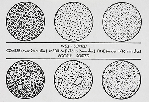
GRAIN DISTRIBUTION CHARACTERISTICS (AGI CHART) |
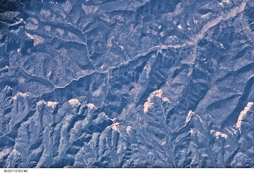
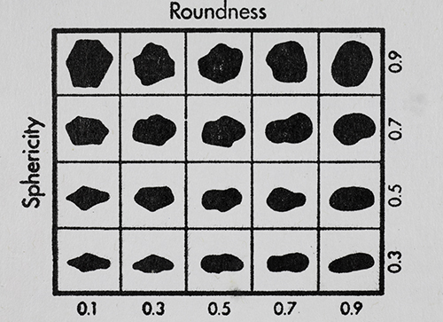
International Space Station 800mm Photograph Image credit: Image Science and Analysis Laboratory, NASA Johnson Space Center | GRAIN SHAPE CHARACTERISTICS(PREPARED BY GAMMA ZETA CHAPTER , SIGMA GAMMA EPSILON, KENT STATE UNIVERSITY - AGI CHART))Roundness is the degree of smoothing due to abrasion of sedimentary particles. It is expressed as the ratio of the average radius of curvature of the edges or corners to the radius of curvature of the maximum inscribed sphere.The sphericity of a particle is: the ratio of the surface area of a sphere (with the same volume as the given particle) to the surface area of the particle. |
 |
||
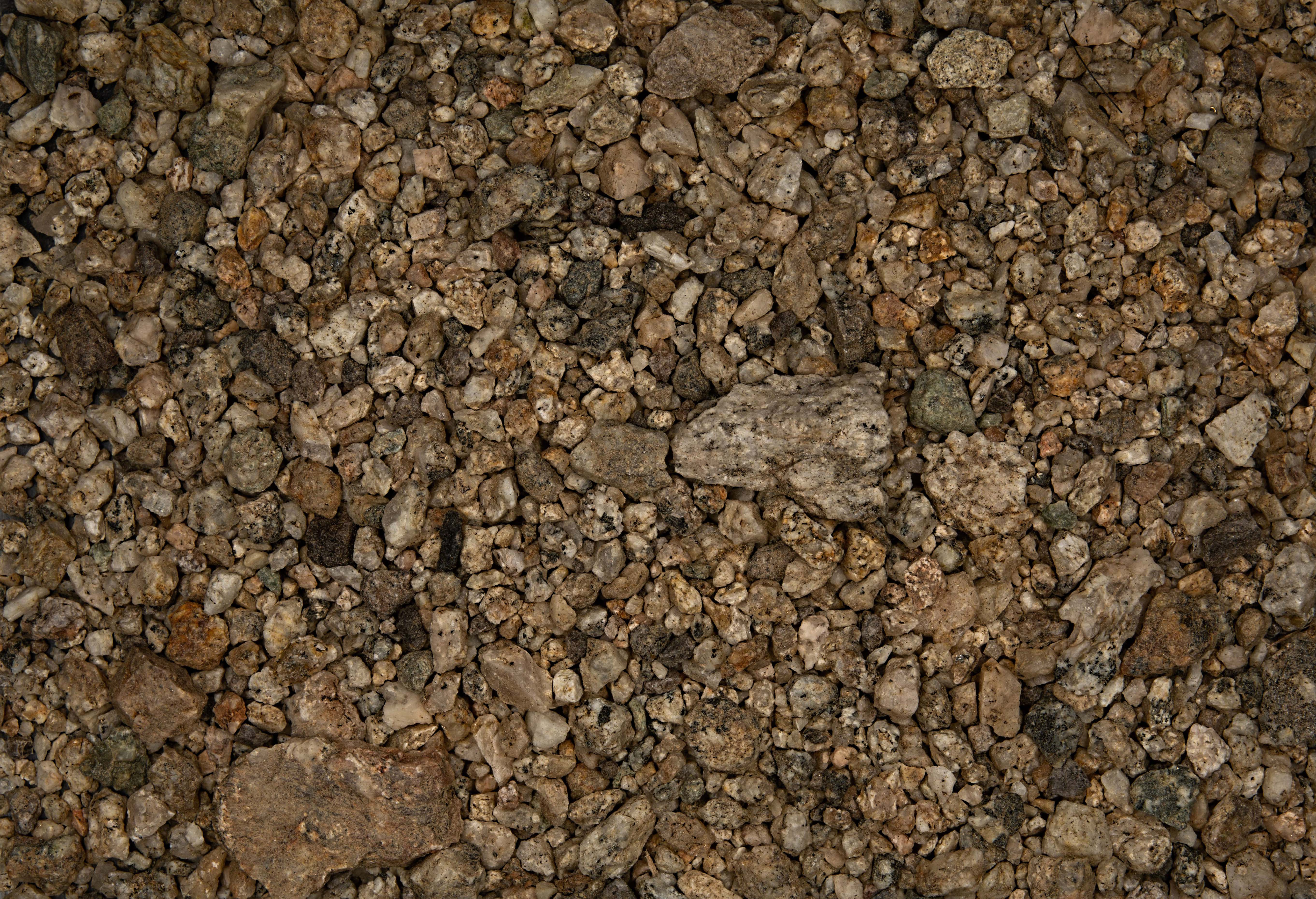
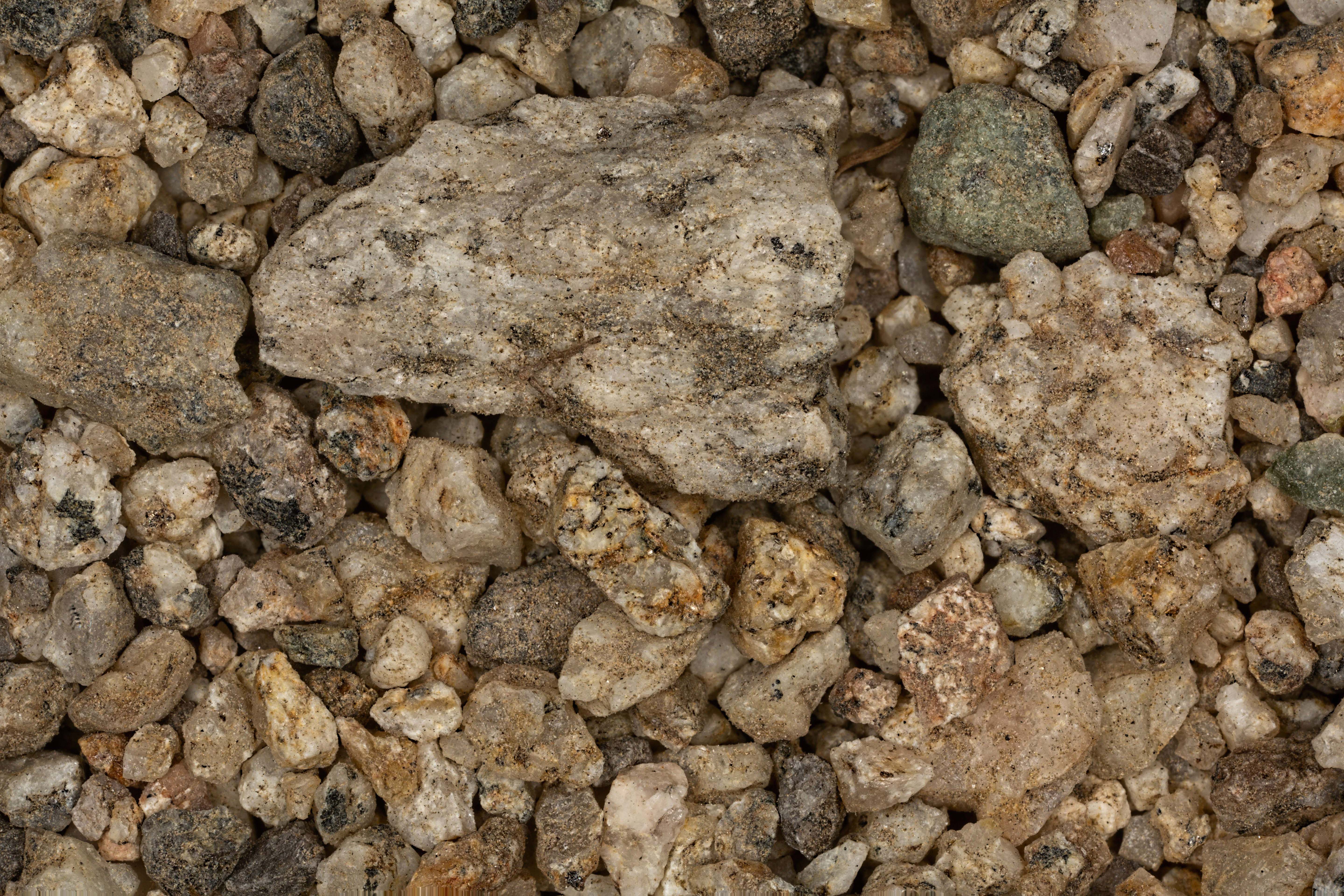
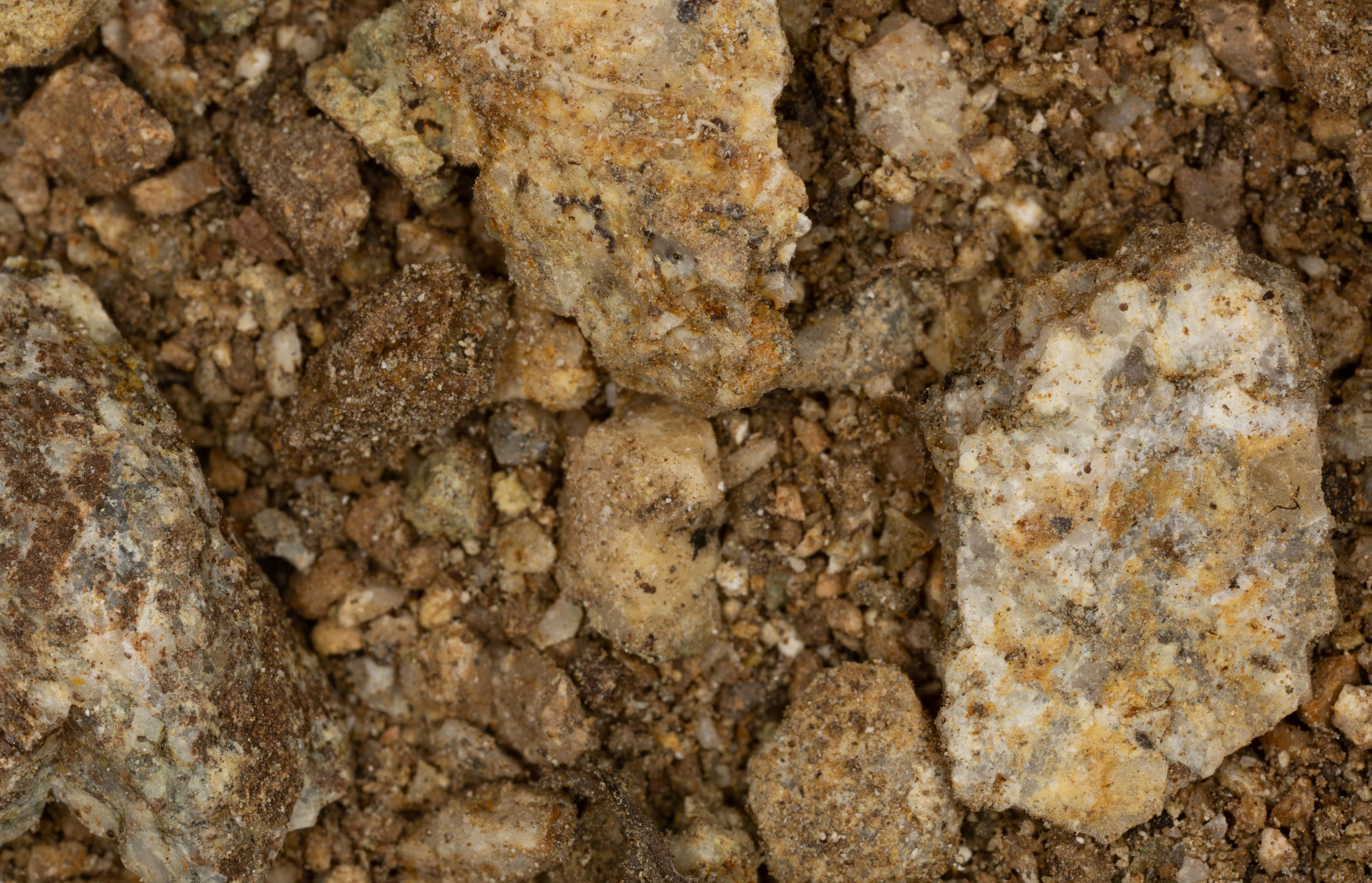
SAMPLE #1 |
||
| Click on Image for High Resolution Version | ||
 |
 |
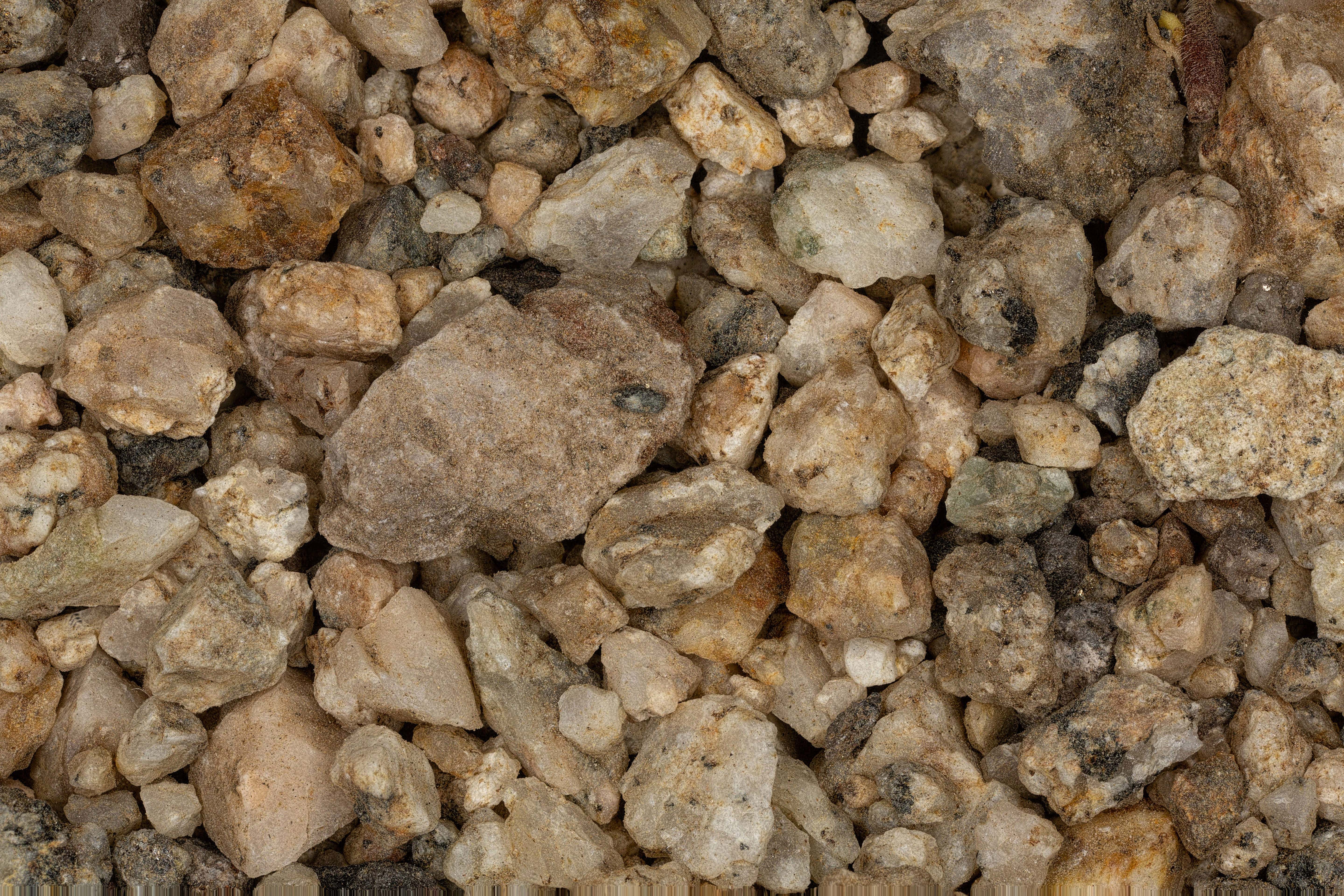 |
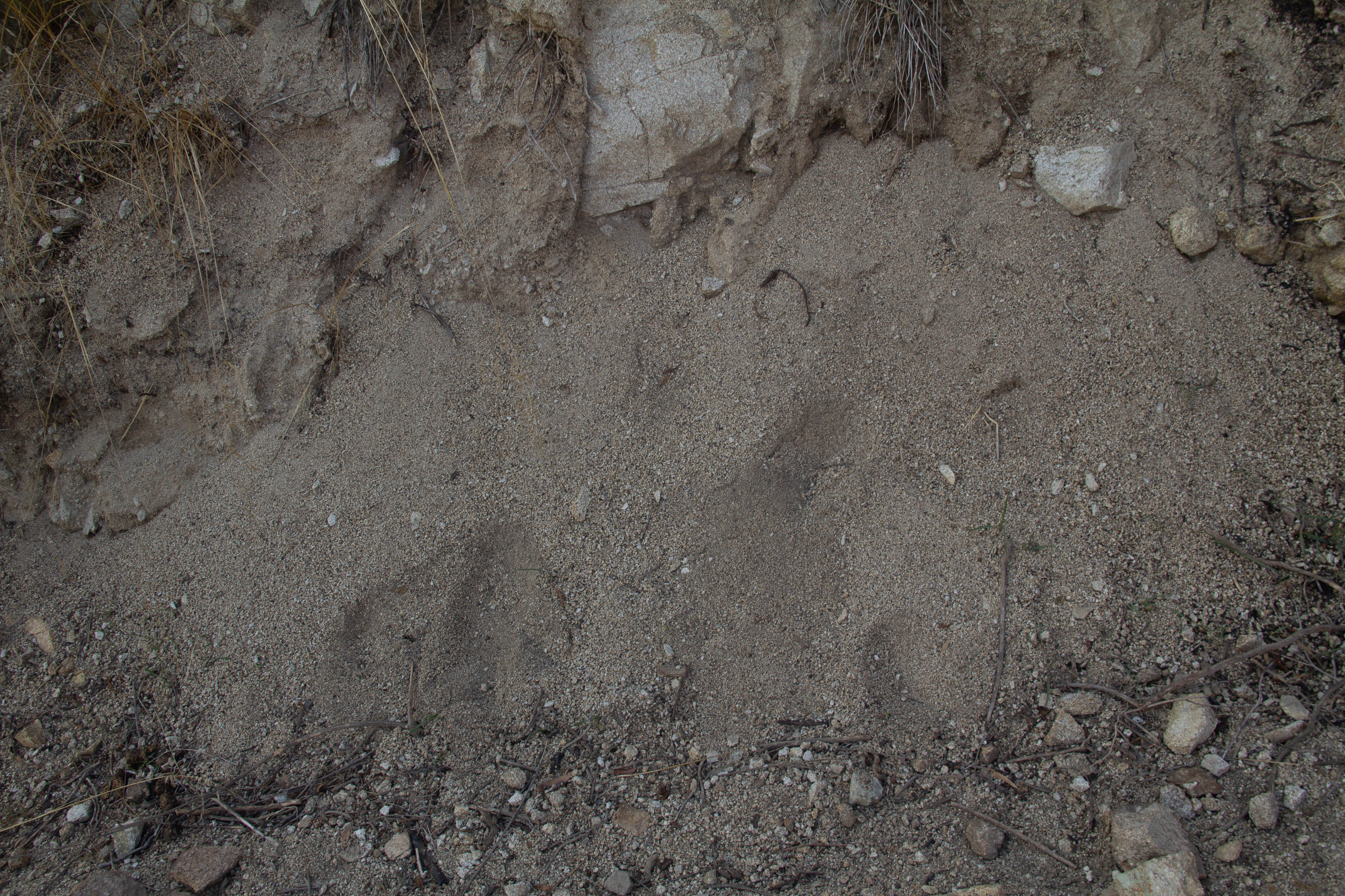
0X IMAGE (BACKGROUND IMAGE) |
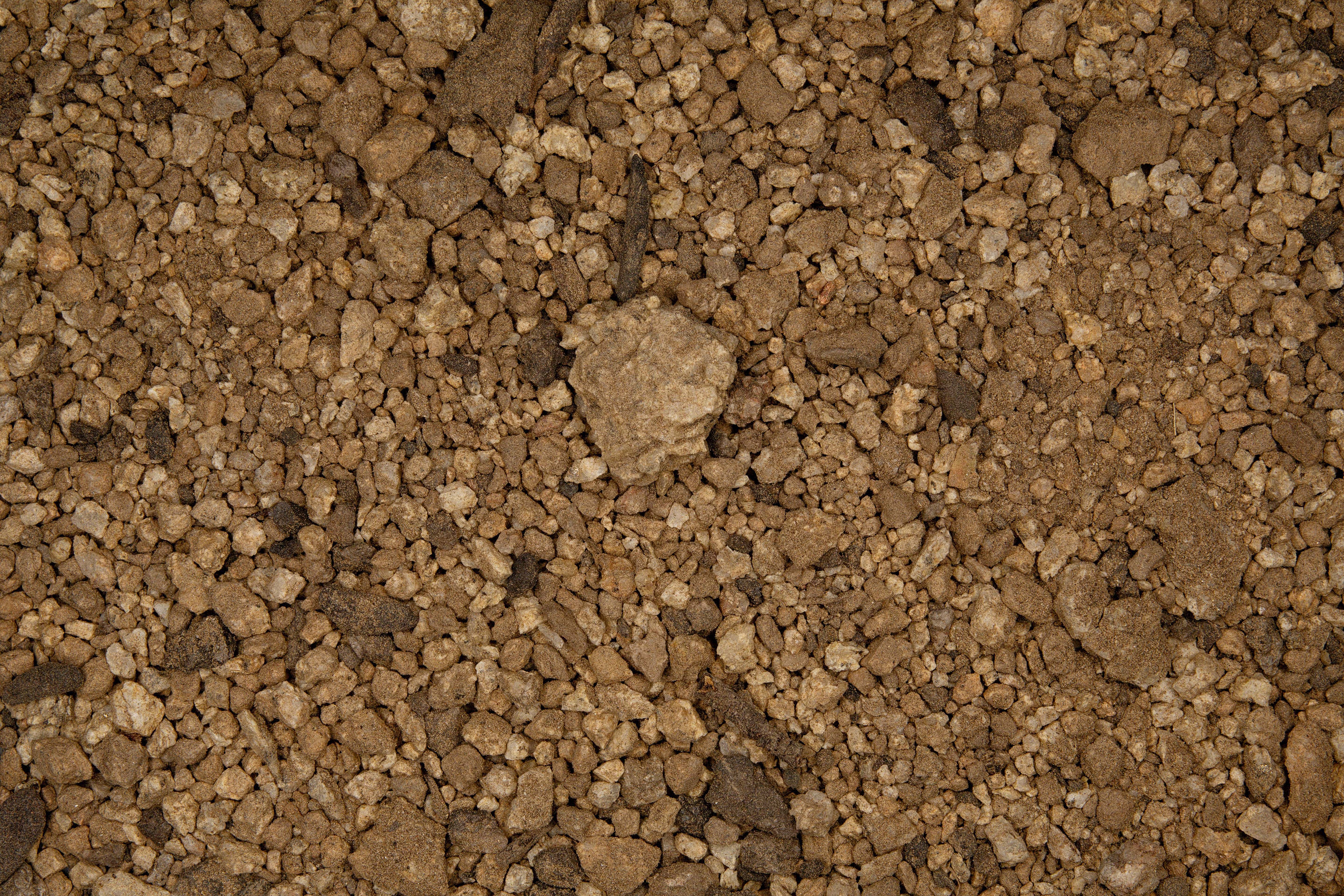
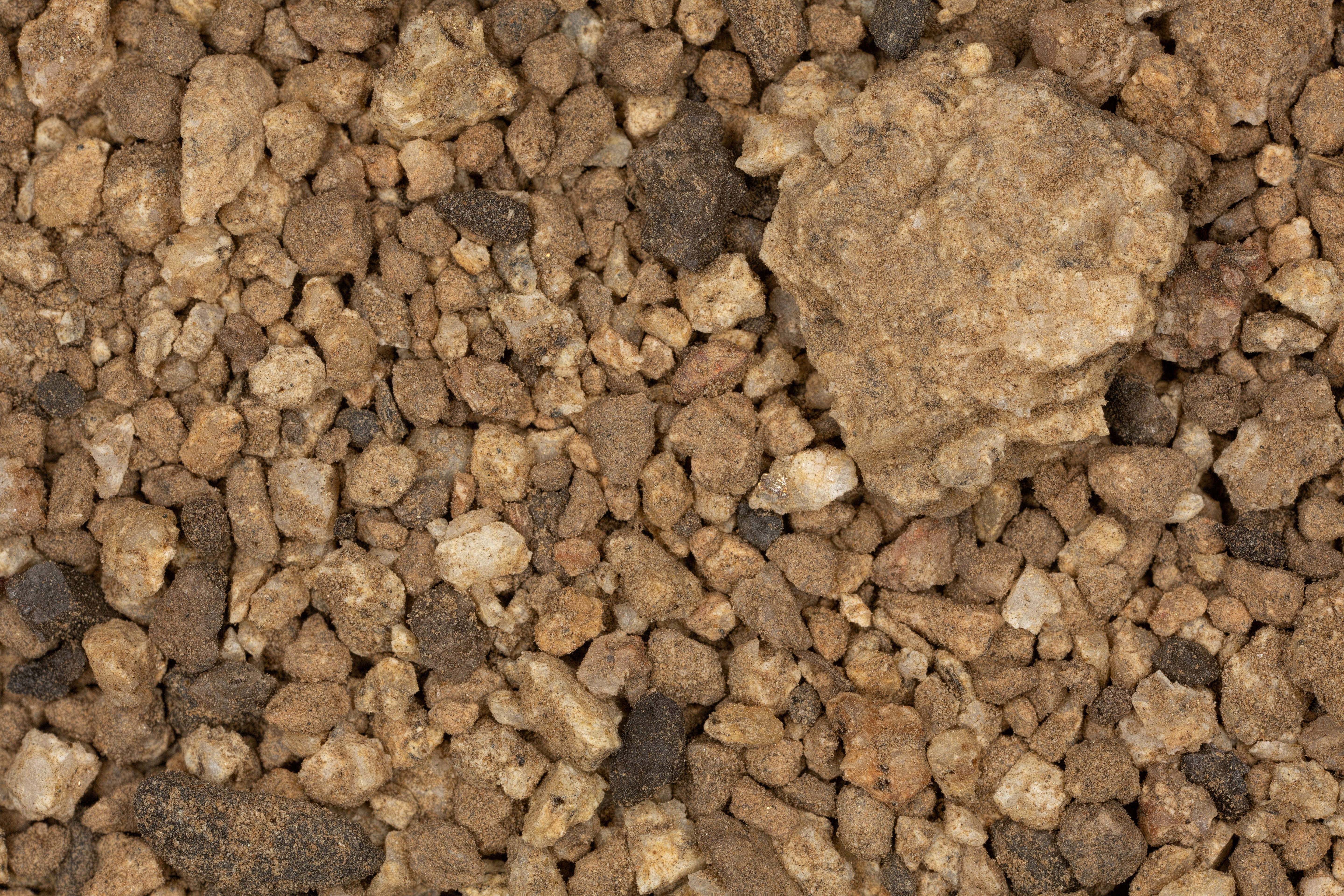
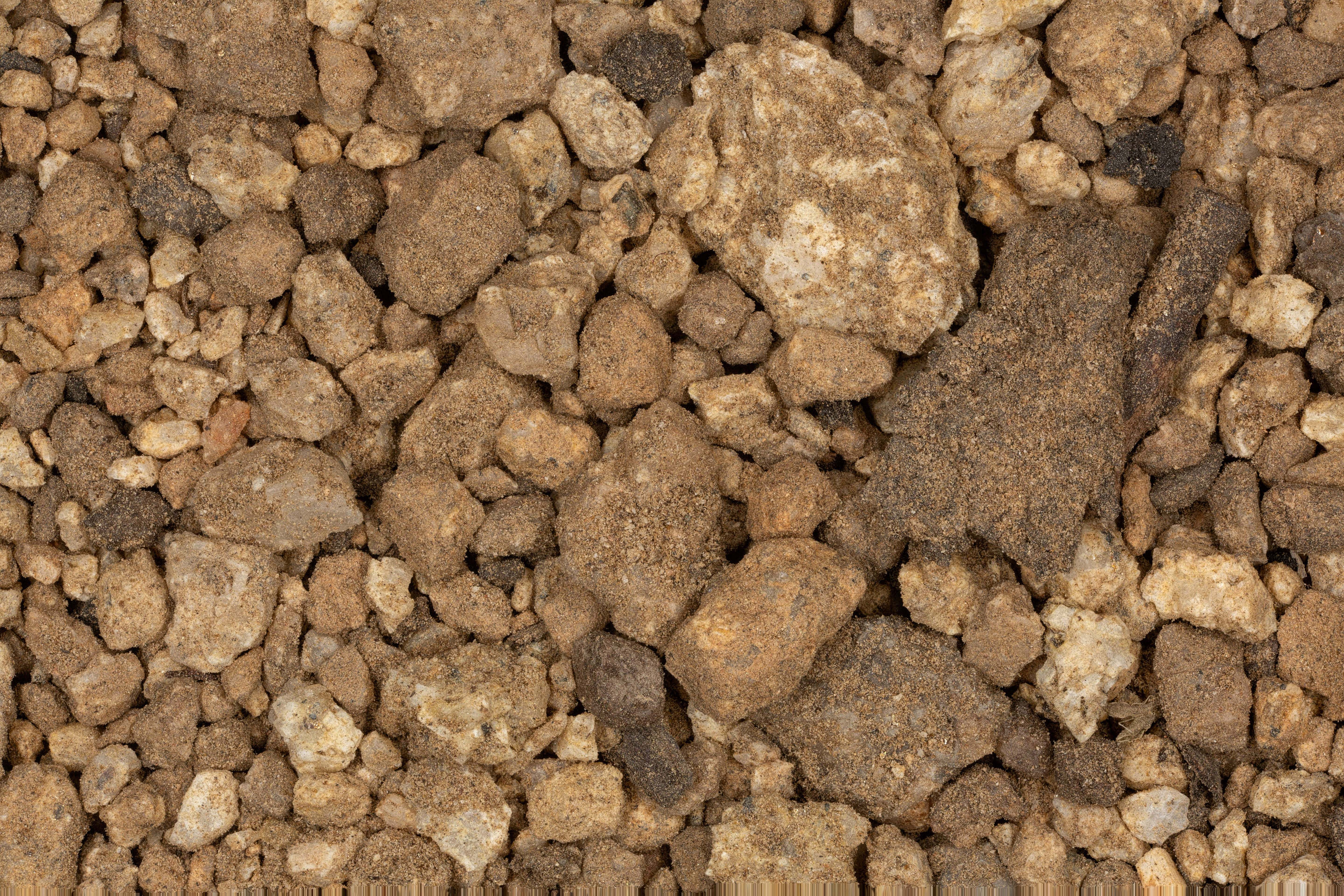
1X IMAGE |
1X IMAGE |
| Click on Image for High Resolution Version | Click on Image for High Resolution Version | Click on Image for High Resolution Version |
 |
||
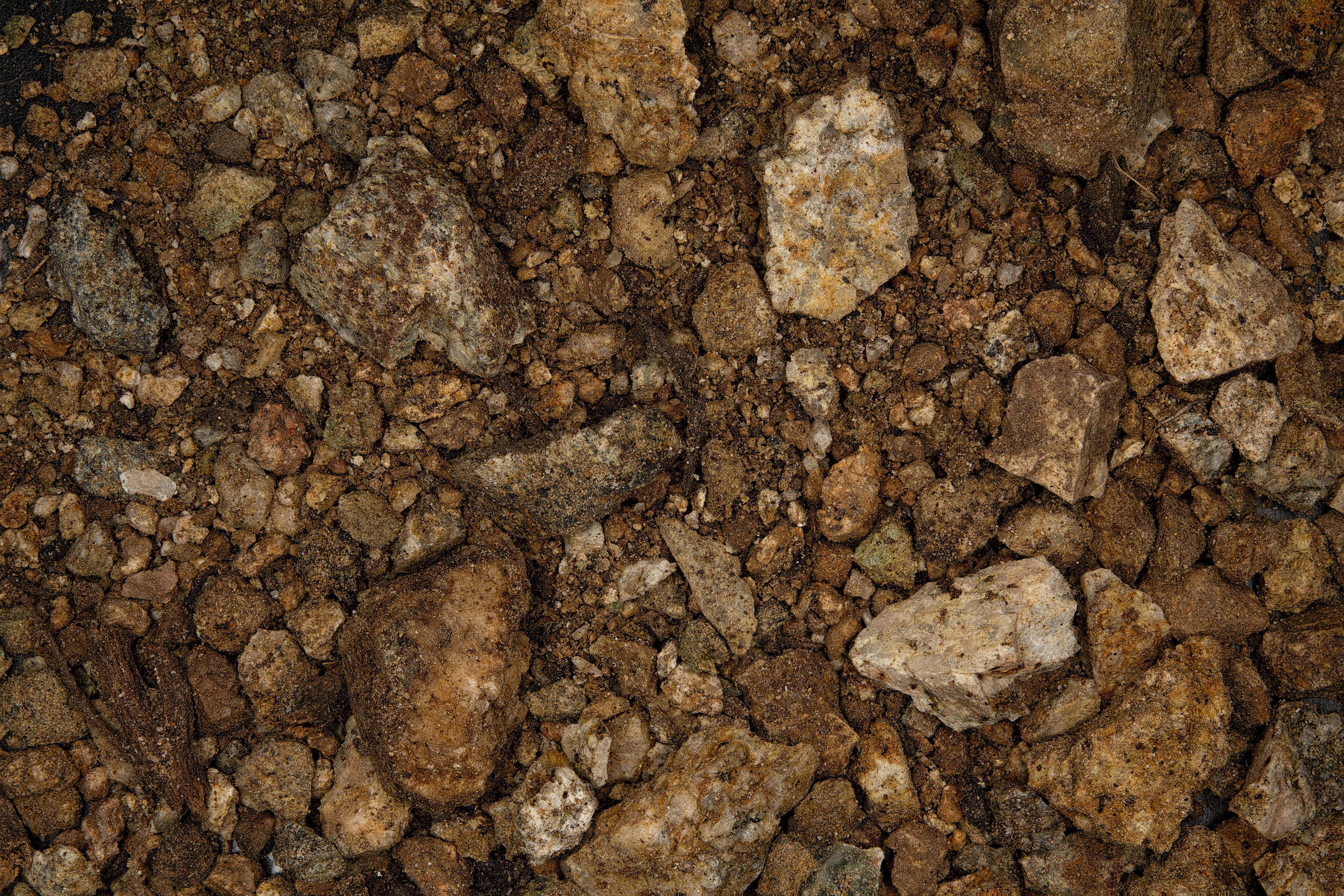
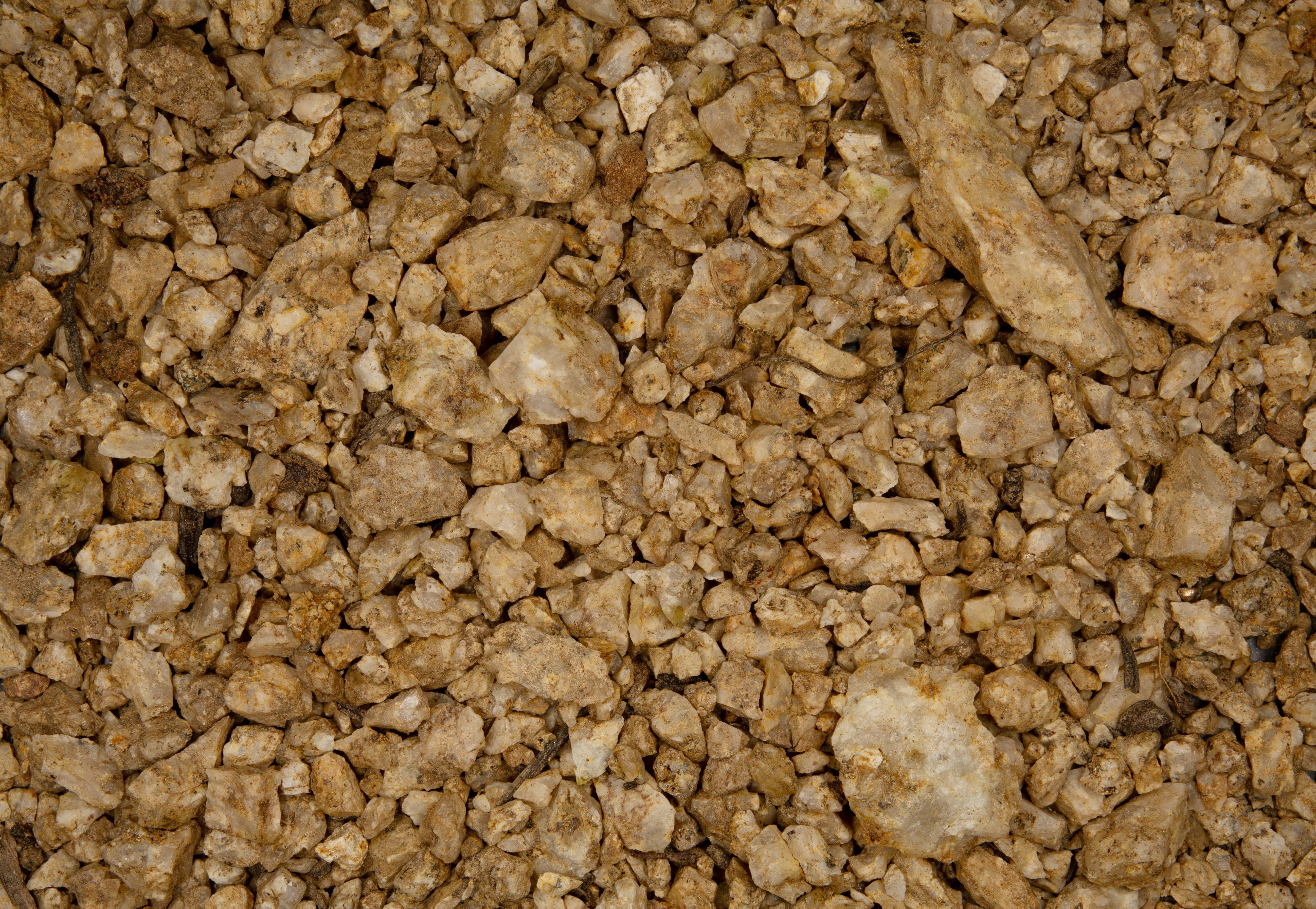
SAMPLE #2 |
||
| Click on Image for High Resolution Version | ||
 |
 |
 |
0X IMAGE |
1X IMAGE |
1X IMAGE |
| Click on Image for High Resolution Version | Click on Image for High Resolution Version | Click on Image for High Resolution Version |
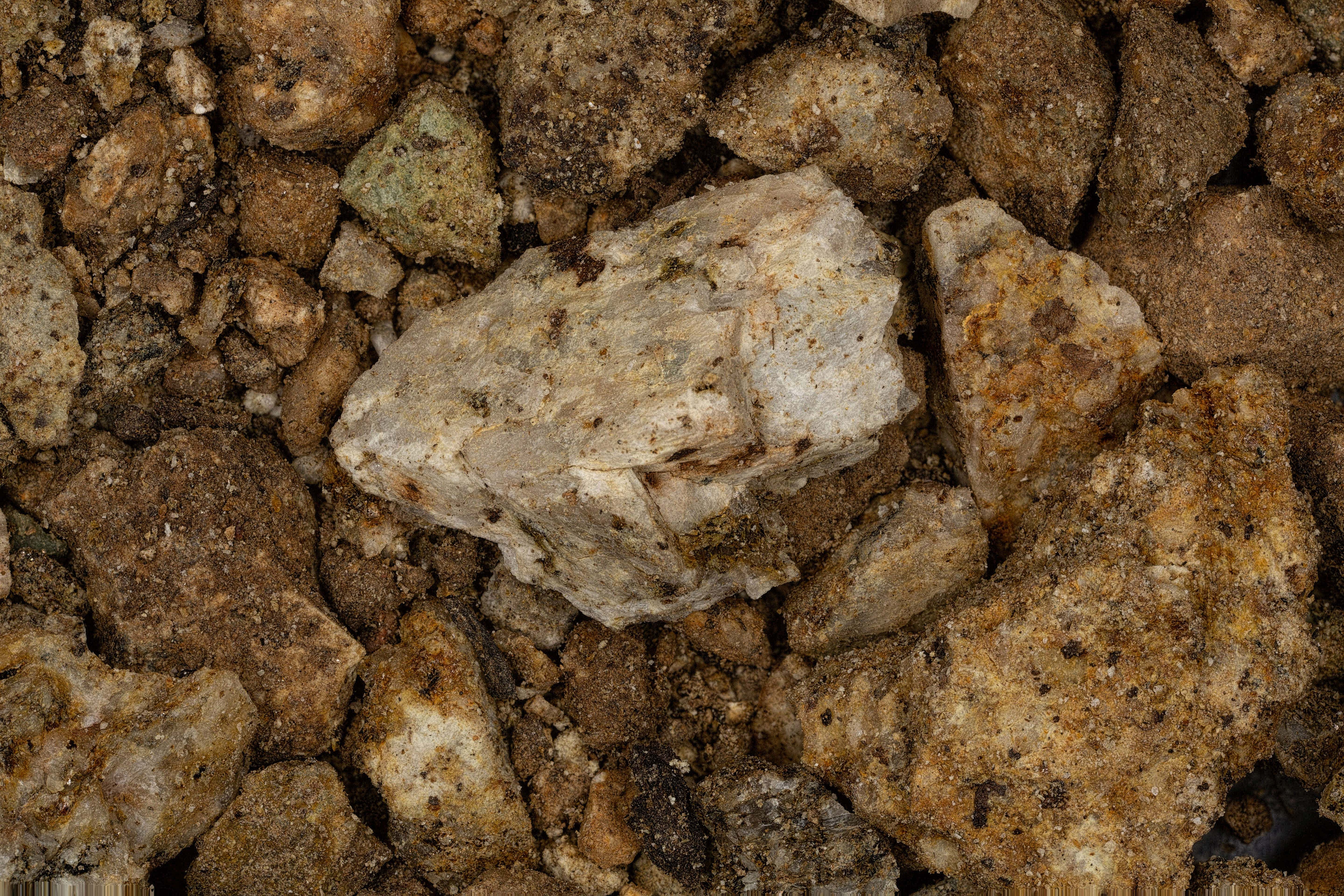
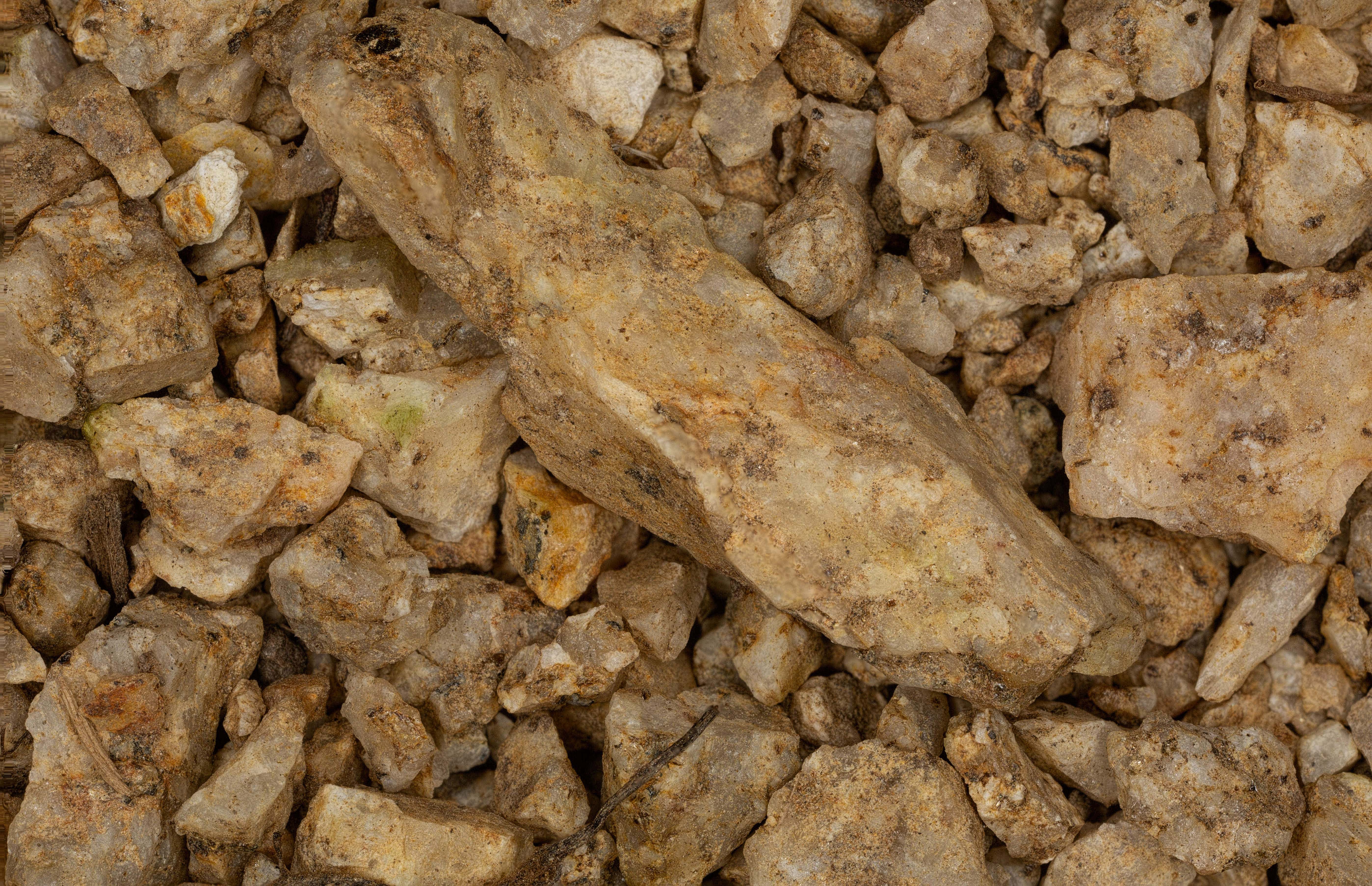
SAMPLE #3 |
||
| Click on Image for High Resolution Version | ||
 |
 |
 |
0X IMAGE |
1X IMAGE |
1X IMAGE |
| Click on Image for High Resolution Version | Click on Image for High Resolution Version | Click on Image for High Resolution Version |
 |
||
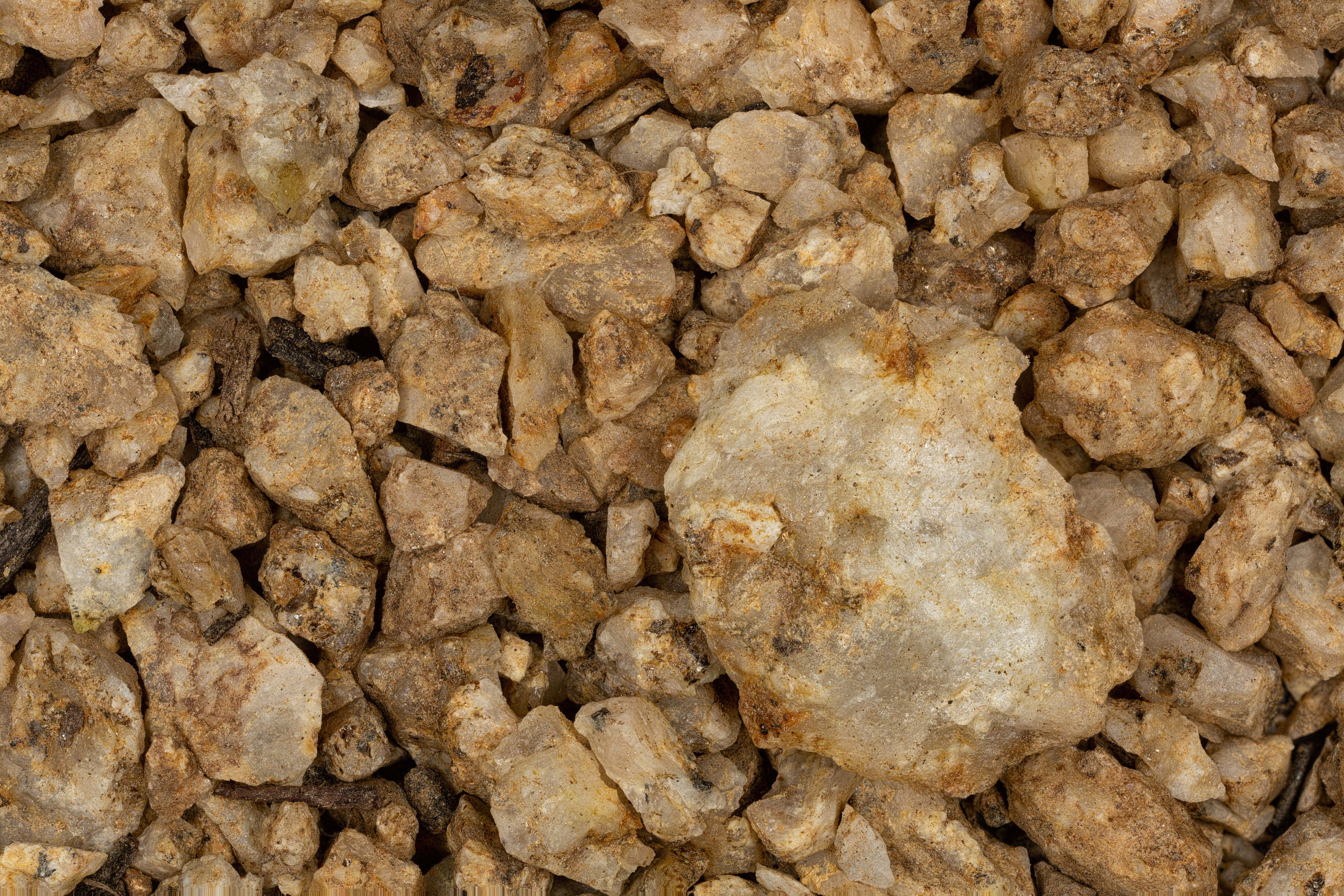
SAMPLE #4 |
||
| Click on Image for High Resolution Version | ||
 |
 |
 |
0X IMAGE |
1X IMAGE |
1X IMAGE |
| Click on Image for High Resolution Version | Click on Image for High Resolution Version | Click on Image for High Resolution Version |
RETURN TO CALIFORNIA |