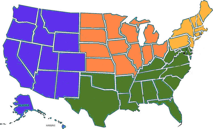
WEST |
MIDWEST |
SOUTH |
NORTHEAST |
 |
 |
 |
 |
| HAWAII |
NEBRASKA |
VIRGINIA |
|
| LANAI |
North Platte River, North Platte 41.14N, 100.71W |
|
Bromley Brook, Manchester 43.90N, 73.00W |
| Kaiolohia Beach (2 samples) , 20.90N, 156.88W |
|
Slate River, Appomattox State Park 37.45N, 78.63W |
|
| Polihua Beach 20.92N, 157.04W |
|
|
|
| MAUI |
|
|
|
| Lahaina Trail 20.80N, 156.54W |
|
|
|
| Red Sand Beach 20.75N, 155.98W |
|
Shelby Bottoms, Memphis 36.17N, 86.73W |
|
| OAHU |
|
|
|
| Pupukea Beach Park 21.64N, 158.06W |
|
|
|
| |
|
|
|
|
"Northern White" Frac Sand, Makoti 47.96N, 101.80W |
|
Crescent Beach, Cape Elizabeth 43.56N, 70.20W |
| Indian Creek, Yellowstone 44.60N, 110.50W |
|
Delaware City 39.57N, 75.59W |
|
| |
|
NORTH CAROLINA |
|
| |
|
Cape Fear River, Southport,33.92N, 78.00W |
Watch Hill 41.31N, 71.85W |
| |
|
|
MASSACHUSETTS |
| |
|
Harrods Creek, Louisville 38.34N, 85.60W |
Long Beach, Rockport 42.66N, 70.62W |
| |
|
|
|
| |
|
Red River 33.62N, 95.05W |
|
| |
|
|
|
| |
|
Red River 33.62N, 95.05W |
|
| CALIFORNIA |
|
|
|
| Torrey Pines State Beach (3 Samples) 32.90N, 117.24W |
|
Biloxi Beach 30.41N, 88.93W |
|
| Thornhill Broome Beach Sand Dune (3 SAMPLES) 34.09N, 118.96W |
|
FLORIDA |
|
| Ocean Beach, San Diego 32.75N, 117.25W |
|
Cocoa Beach, 28.33N, 80.62W |
|
| Santa Cruz Island, (2 Samples) 34.02N, 119.77W |
|
Sand Key, Clearwater 27.96N, 82.83W |
|
| WASHINGTON |
|
|
|
| Carkeek Park, Seattle 47.71N, 122.37W |
|
|
|
| Hidden Lake, Washington 47.75N, 122.37W |
|
|
|
| Log Boom Park, Kenmore 47.76N, 122.27W |
|
|
|
|
|
|
|
| Bandera Volcanic Crater 34.80N, 108.00W |
|
|
|
| El Morro National Monument (2 Samples) 35.04N, 108.35W |
|
|
|
|
|
|
|
| Cherry Creek, Parker 39.50N, 104.49W |
|
|
|
|
|
|
|
| Needles Area, Canyonlands Nat. Pk. 38.17N, 109.80W |
|
|
|
| Hickman Bridge, Capitol Reef Nat. Pk. 38.28N, 111.22W |
|
|
|
| "Ear of the Wind Arch," Monument Valley 36.90N, 110.07W |
|
|
|